Bridge Fen
Downs, Moorland in Cambridgeshire East Cambridgeshire
England
Bridge Fen

Bridge Fen is a picturesque area located in Cambridgeshire, England. Nestled between the bustling towns of Ely and Cambridge, this region is characterized by its unique blend of downs and moorland landscapes.
The downs of Bridge Fen are gently rolling hills covered in lush green grass, creating a serene and peaceful atmosphere. These downs provide ample space for outdoor activities such as walking, picnicking, and kite flying. The panoramic views from the top of the hills offer a breathtaking sight of the surrounding countryside.
In contrast, the moorland of Bridge Fen is a wild and untamed terrain, covered in heather, gorse, and reeds. This habitat supports a variety of bird species, including the elusive bittern and the charismatic marsh harrier. The moorland is also home to several rare plant species, adding to the area's biodiversity.
The area is intersected by numerous small streams and ditches, which add to the charm of Bridge Fen. These waterways provide a habitat for water-loving plants and animals, including the vibrant dragonflies that hover above the water's surface.
Bridge Fen is a popular destination for nature enthusiasts, offering opportunities for birdwatching, wildlife photography, and exploration. The area is also dotted with historical landmarks, including ancient bridges and remnants of medieval settlements, which provide insight into the region's rich history.
Overall, Bridge Fen in Cambridgeshire offers a stunning blend of downs and moorland landscapes, making it a must-visit destination for those seeking natural beauty and tranquility.
If you have any feedback on the listing, please let us know in the comments section below.
Bridge Fen Images
Images are sourced within 2km of 52.38131/0.27384286 or Grid Reference TL5478. Thanks to Geograph Open Source API. All images are credited.


Bridge Fen is located at Grid Ref: TL5478 (Lat: 52.38131, Lng: 0.27384286)
Division: Isle of Ely
Administrative County: Cambridgeshire
District: East Cambridgeshire
Police Authority: Cambridgeshire
What 3 Words
///drums.mule.strutting. Near Ely, Cambridgeshire
Nearby Locations
Related Wikis

Hawk Bridge
Hawk Bridge, Ely, is a railway bridge carrying the Ipswich to Ely line across the River Great Ouse in Cambridgeshire, England. The bridge is located half...
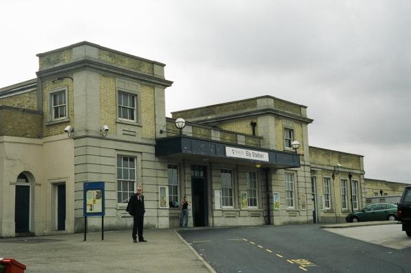
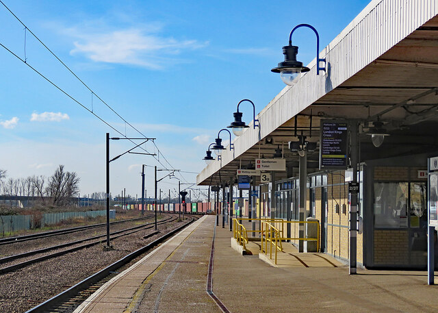
Ely railway station
Ely railway station is on the Fen line in the east of England, serving the cathedral city of Ely, Cambridgeshire. It is 70 miles 30 chains (113.3 km) from...

Harry Specters
Harry Specters is an Ely, Cambridgeshire-based chocolatier established with the express purpose of providing employment and free work experience for autistic...

Railways in Ely
The Railways in Ely are an important interchange point between several routes in England. There are junctions north and south of the city where rail routes...

Stuntney
Stuntney is a village in East Cambridgeshire, located between Ely and Soham. It is just off the main road going from Newmarket to Ely, the A142. ��2�...

East Cambridgeshire
East Cambridgeshire (locally known as East Cambs) is a local government district in Cambridgeshire, England. Its council is based in the city of Ely. The...
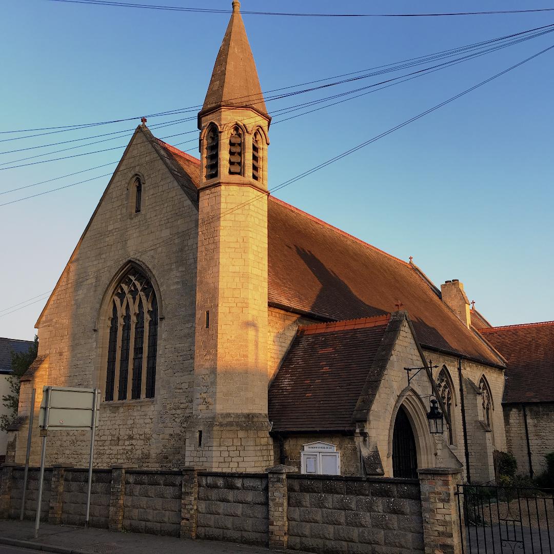
St Peter-in-Ely
St Peter-in-Ely or St Peter's Church, Ely, is a Church of England proprietary chapel in Ely, Cambridgeshire, England, located on Broad Street. The chapel...
Ely Castle
Ely Castle was in the cathedral city of Ely in Cambridgeshire (grid reference TL541799). Its probable site is a mound near the cathedral which is now...
Related Videos
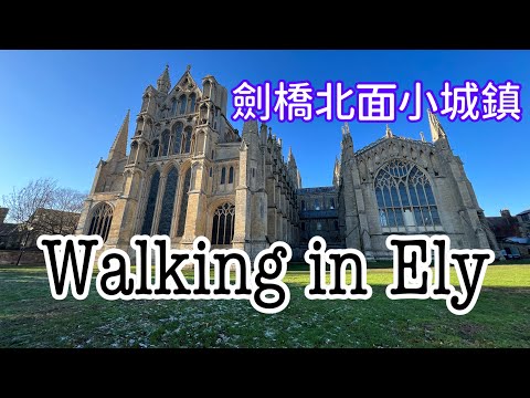
【英國5分鐘】Walking in Ely, Cambridgeshire (CB6, CB7) / 一齊行吓劍橋市北面一個Cathedral City🚗🌞❄️⛪️
啱啱整完Ely嘅新盤片,順便整埋呢條片,同大家行吓Ely。 音樂:Time to move on 曲、編:Albertmusic 歡迎追蹤我fb page,有我 ...
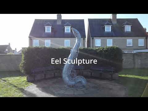
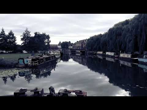
Walking Tour of The City of Ely and Ely waterfront in 4K
A brief walk along Ely waterfront, up through Jubilee Gardens, crossing into Cherry Hill Park, finishing with a sunny distant view of ...
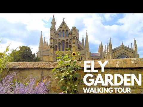
Ely Cathedral Garden: A Peaceful Walking Tour
Welcome to our peaceful walking tour of the Ely Cathedral Garden! Join us as we explore the serene beauty and enchanting ...
Nearby Amenities
Located within 500m of 52.38131,0.27384286Have you been to Bridge Fen?
Leave your review of Bridge Fen below (or comments, questions and feedback).