Tenantry Ground
Downs, Moorland in Sussex Wealden
England
Tenantry Ground

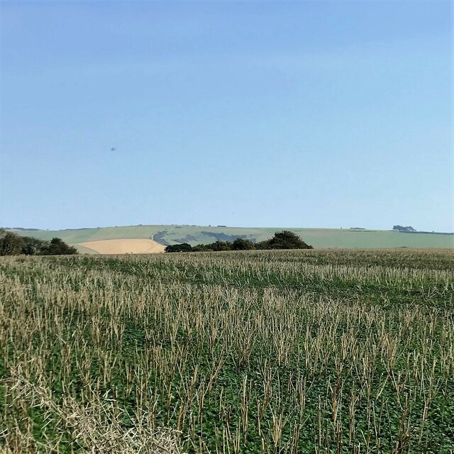
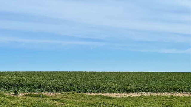
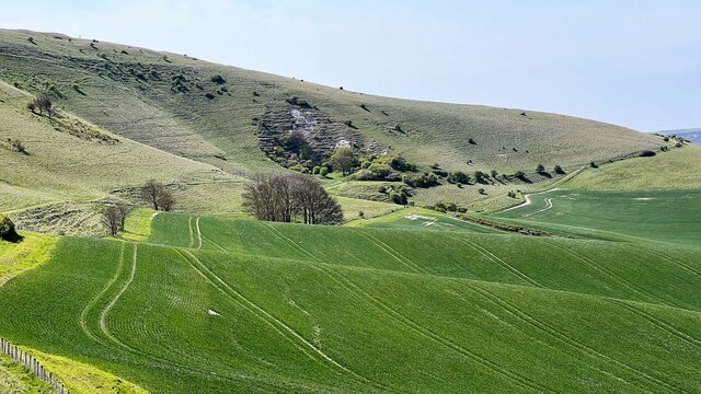
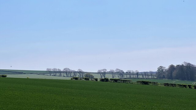
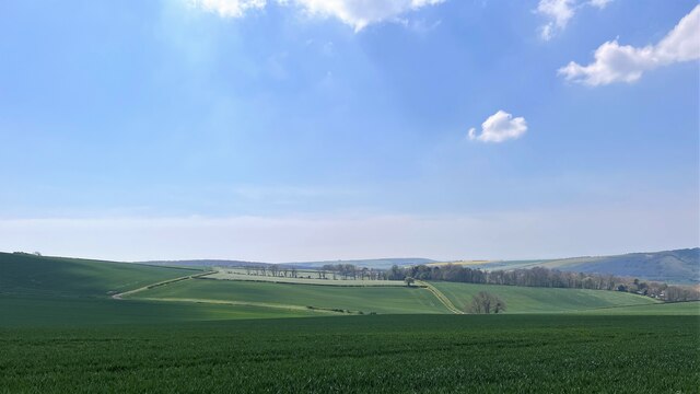
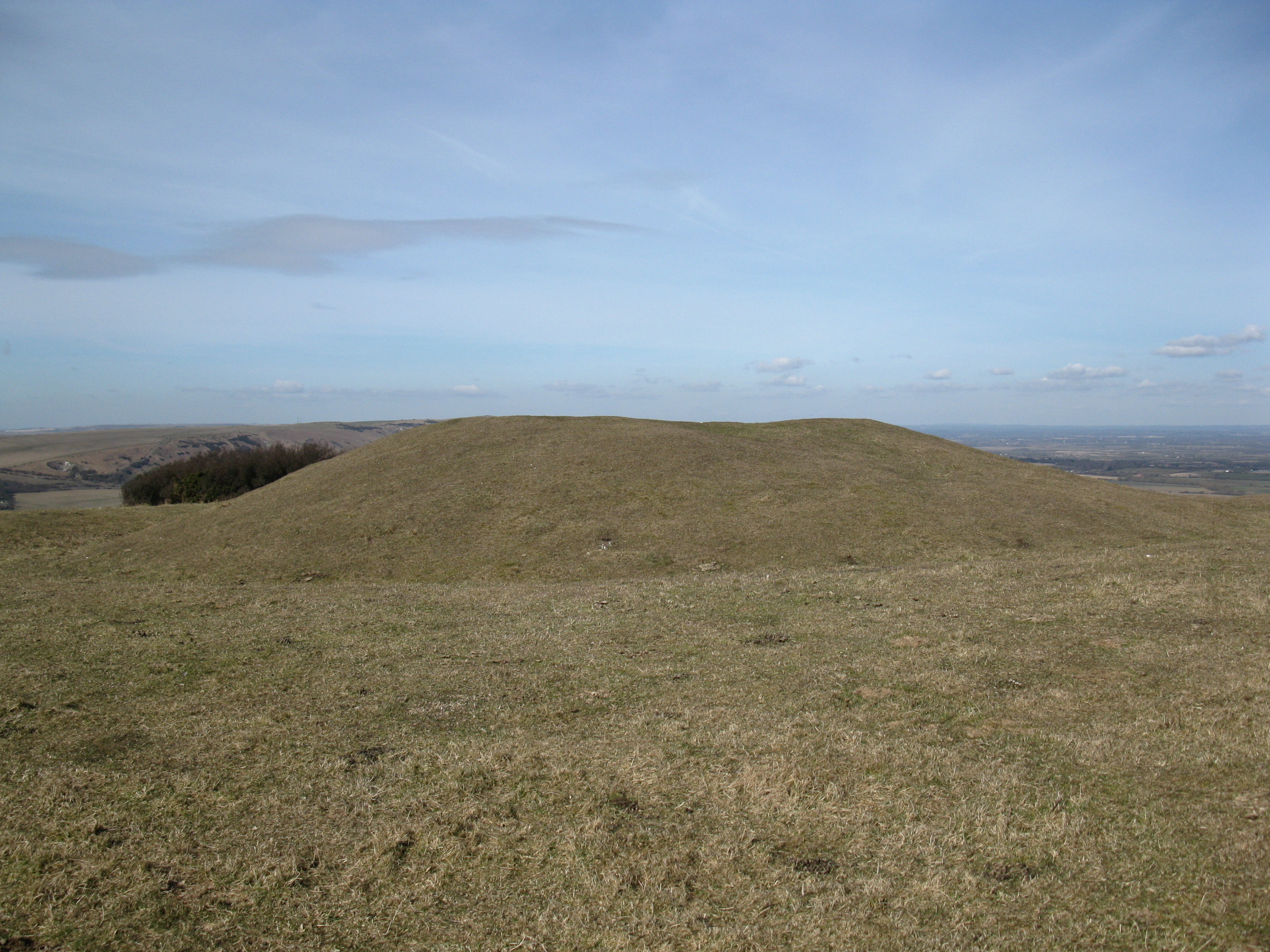
Tenantry Ground is a picturesque area located in Sussex, England, encompassing vast stretches of Downs and Moorland. Situated in the southern part of the county, it is renowned for its stunning natural beauty and diverse landscapes. The area is characterized by rolling hills, open grasslands, and heathland, providing a haven for an array of plant and animal species.
Covering an extensive area, Tenantry Ground offers numerous opportunities for outdoor activities and exploration. Visitors can embark on scenic walks or hikes along the many well-marked trails that meander through the countryside. The diverse terrain caters to all levels of fitness and interest, with routes ranging from gentle strolls to more challenging treks.
Wildlife enthusiasts will be delighted by the abundance of species that call Tenantry Ground home. The area is a haven for birdwatchers, with various species of birds, including skylarks, kestrels, and buzzards, soaring through the skies. In addition, the moorland provides a habitat for rare reptiles, such as adders and slow worms, while the grasslands are dotted with beautiful wildflowers during the warmer months.
For those seeking a tranquil escape from the bustling city life, Tenantry Ground offers a serene and peaceful environment. The unspoiled landscapes and panoramic views make it an ideal spot for picnics, nature photography, or simply unwinding amidst nature's beauty.
Tenantry Ground, Sussex, with its stunning Downs and Moorland, is a haven for nature lovers, offering a diverse range of activities and breathtaking scenery that will leave visitors captivated by its charm.
If you have any feedback on the listing, please let us know in the comments section below.
Tenantry Ground Images
Images are sourced within 2km of 50.805962/0.18648245 or Grid Reference TQ5402. Thanks to Geograph Open Source API. All images are credited.


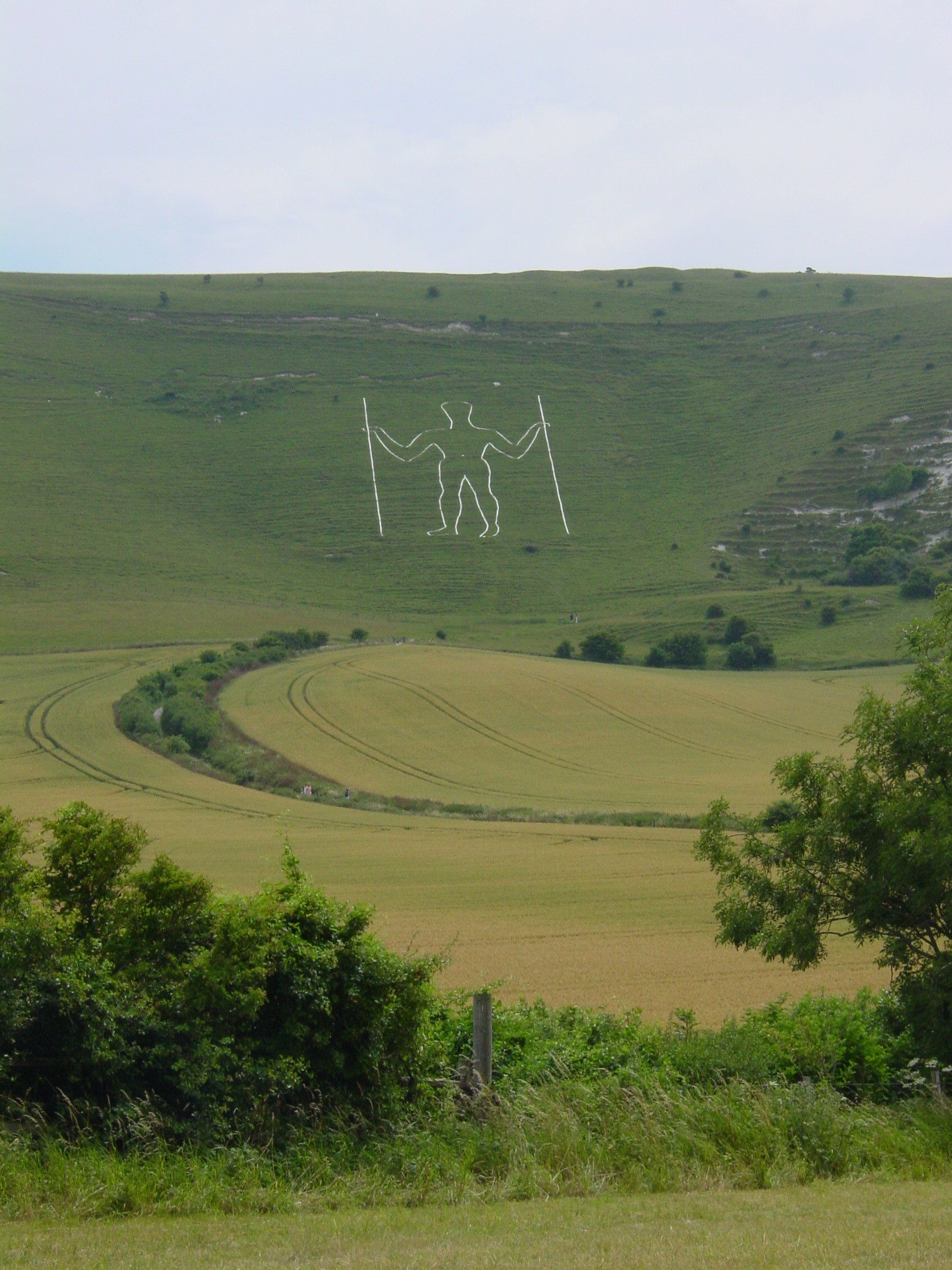
![Wilmington village [1] The Long Man is cut on the slopes of Windover Hill, near Wilmington. The figure is 235 feet (72 metres) tall. The figure may have been cut in the 16th or 17th century. The figure is formed from white-painted breeze blocks and lime mortar.
The village of Wilmington, in East Sussex, is about 6 miles (10 kilometres) northwest of Eastbourne. The place-name 'Wilmington' is first attested in the Domesday Book of 1086. The name means 'the town or settlement of Wighelm's or Wilhelm's people'. Near the village is the hill figure, The Long Man.](https://s0.geograph.org.uk/geophotos/07/22/18/7221864_0b4bebd9.jpg)
![Wilmington village [2] An information board about The Long Man.
The Long Man is cut on the slopes of Windover Hill, near Wilmington. The figure is 235 feet (72 metres) tall. The figure may have been cut in the 16th or 17th century. The figure is formed from white-painted breeze blocks and lime mortar.
The village of Wilmington, in East Sussex, is about 6 miles (10 kilometres) northwest of Eastbourne. The place-name 'Wilmington' is first attested in the Domesday Book of 1086. The name means 'the town or settlement of Wighelm's or Wilhelm's people'. Near the village is the hill figure, The Long Man.](https://s3.geograph.org.uk/geophotos/07/22/18/7221867_6ece0960.jpg)
![Wilmington village [3] Two horses graze in a field of buttercups.
The village of Wilmington, in East Sussex, is about 6 miles (10 kilometres) northwest of Eastbourne. The place-name 'Wilmington' is first attested in the Domesday Book of 1086. The name means 'the town or settlement of Wighelm's or Wilhelm's people'. Near the village is the hill figure, The Long Man.](https://s2.geograph.org.uk/geophotos/07/22/18/7221870_8edd74de.jpg)
![Wilmington village [4] This recently created footpath runs alongside the minor road to meet the path across the fields to The Long Man. This avoids walkers having to use the narrow minor road.
The village of Wilmington, in East Sussex, is about 6 miles (10 kilometres) northwest of Eastbourne. The place-name 'Wilmington' is first attested in the Domesday Book of 1086. The name means 'the town or settlement of Wighelm's or Wilhelm's people'. Near the village is the hill figure, The Long Man.](https://s3.geograph.org.uk/geophotos/07/22/18/7221875_e5ed93c5.jpg)
Tenantry Ground is located at Grid Ref: TQ5402 (Lat: 50.805962, Lng: 0.18648245)
Administrative County: East Sussex
District: Wealden
Police Authority: Sussex
What 3 Words
///report.taken.escape. Near Friston, East Sussex
Nearby Locations
Related Wikis
Wilmington Downs
Wilmington Downs is a 209.8-hectare (518-acre) biological Site of Special Scientific Interest north-west of Eastbourne in East Sussex. The site includes...
Long Man of Wilmington
The Long Man of Wilmington or Wilmington Giant is a hill figure on the steep slopes of Windover Hill near Wilmington, East Sussex, England. It is 6 miles...
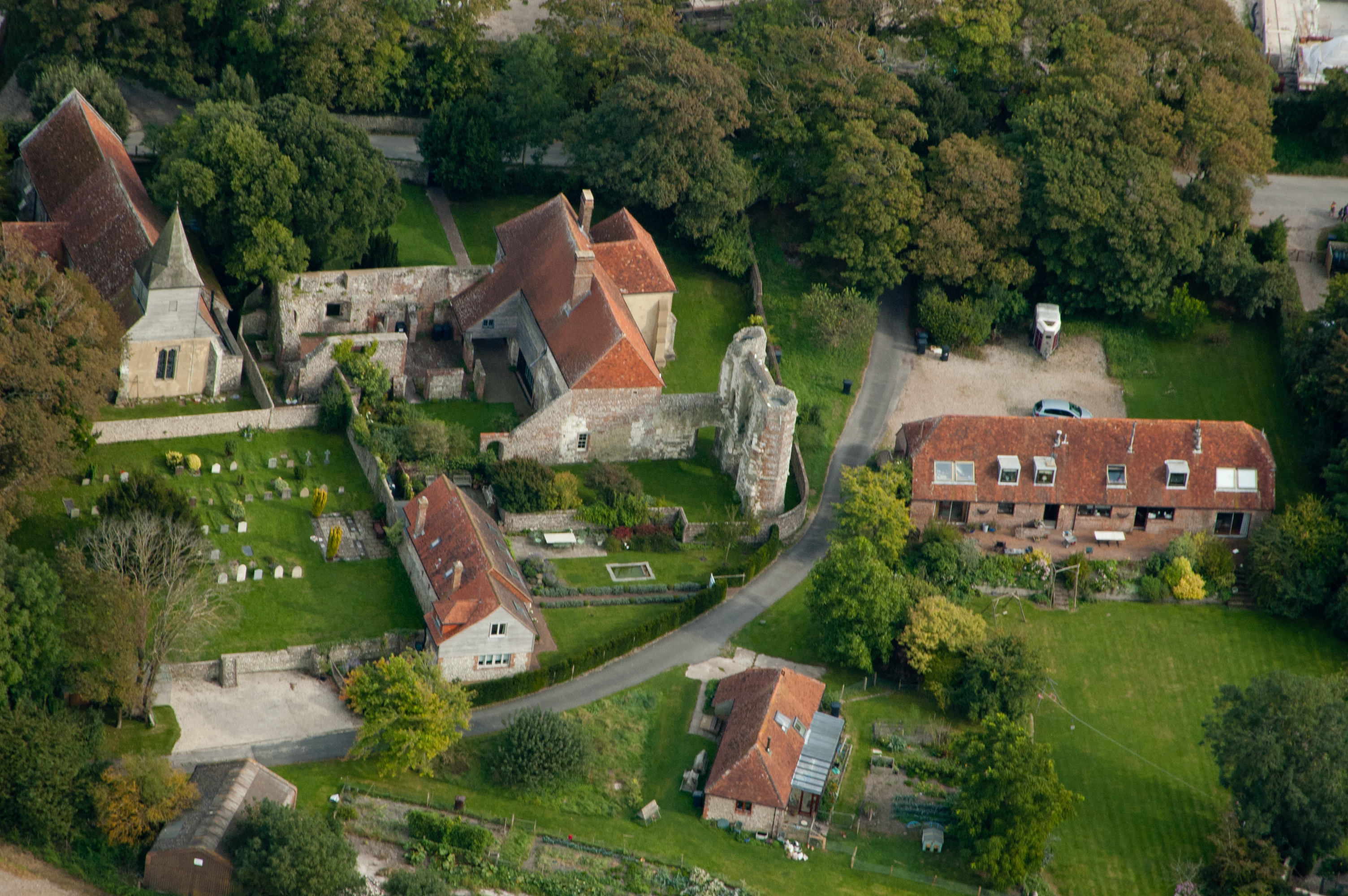
Wilmington Priory
Wilmington Priory was a Benedictine priory in the civil parish of Long Man, East Sussex, England. The surviving building is now owned by the Landmark Trust...

St Mary and St Peter's Church, Wilmington
St Mary and St Peter's Church is in the village of Wilmington, East Sussex, England. It is an active Anglican parish church on the deanery of Lewes and...
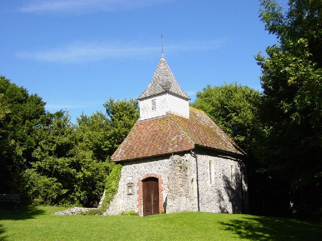
Lullington Church
Lullington Church, also known as the Church of the Good Shepherd, on the South Downs at Lullington in East Sussex is one of several churches claimed to...

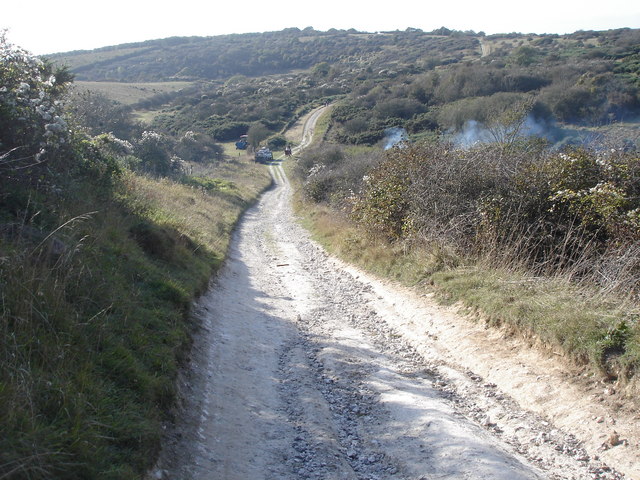
Lullington Heath
Lullington Heath is a 72.7-hectare (180-acre) biological Site of Special Scientific Interest west of Eastbourne in East Sussex. It is a national nature...
Lullington, East Sussex
Lullington is a village and former civil parish, now in the parish of Cuckmere Valley, in the Wealden district, in the county of East Sussex, England....

Church of St Peter ad Vincula, Folkington
The Church of St Peter ad Vincula, Folkington, East Sussex is a parish church dating from the 13th century. Built of flint and rubble, it is a Grade I...
Nearby Amenities
Located within 500m of 50.805962,0.18648245Have you been to Tenantry Ground?
Leave your review of Tenantry Ground below (or comments, questions and feedback).