New Field
Downs, Moorland in Norfolk King's Lynn and West Norfolk
England
New Field
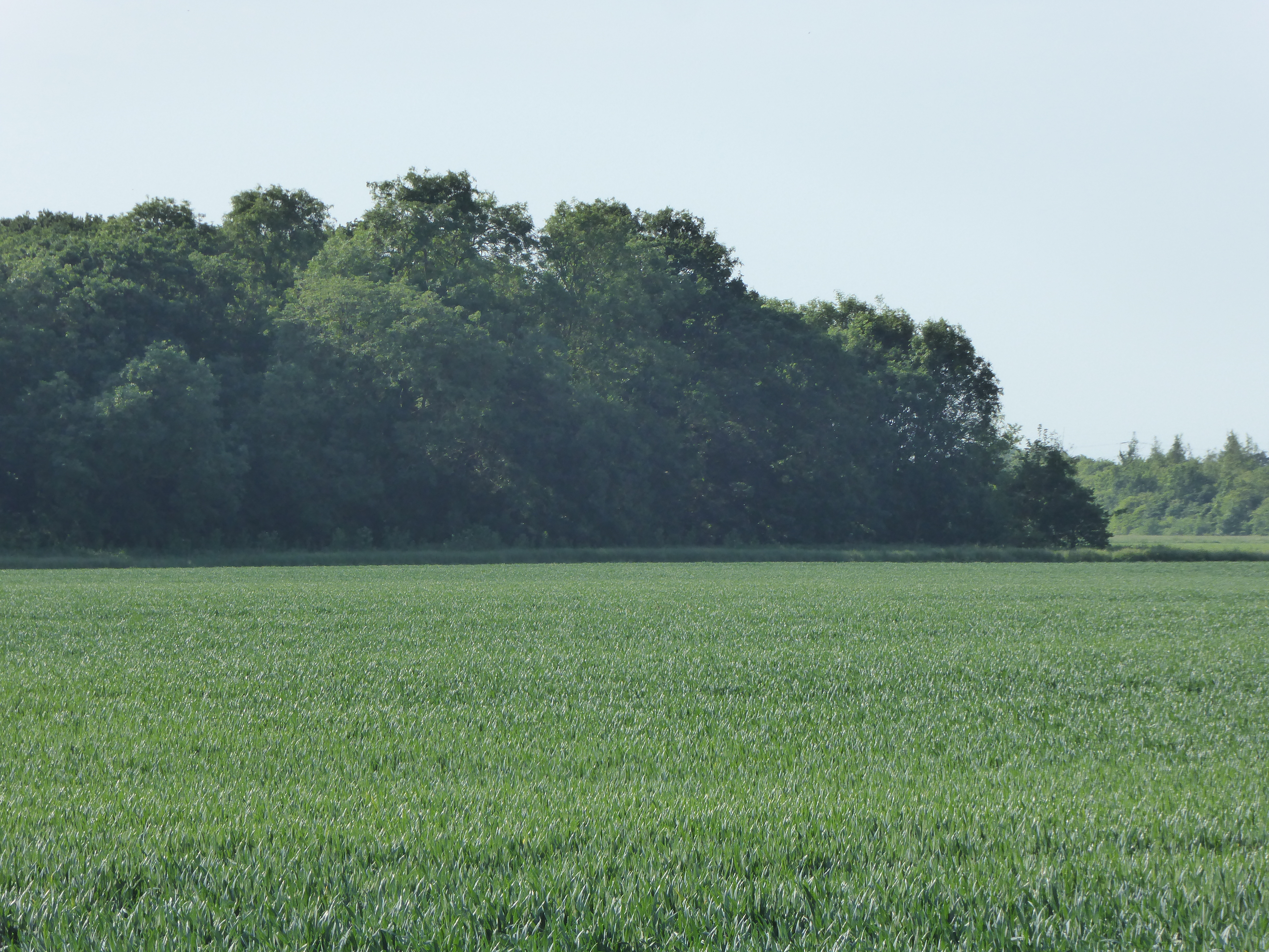
New Field, Norfolk, also known as Downs or Moorland, is a vast area located in the county of Norfolk, England. Spanning over several miles, it encompasses diverse landscapes, including rolling hills, open plains, and wetland areas. The region is renowned for its striking natural beauty, attracting visitors from near and far.
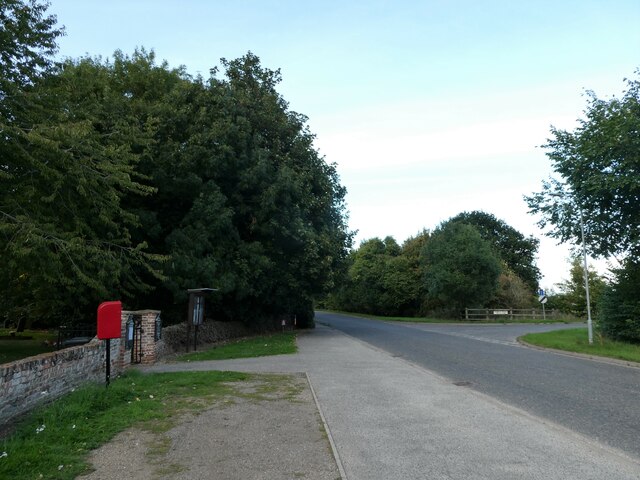
The main feature of New Field is its gently undulating downs, which offer breathtaking panoramic views of the surrounding countryside. The downs are covered in a carpet of lush green grass and dotted with wildflowers, creating a picturesque scene. The area is ideal for leisurely walks and picnics, providing a tranquil escape from the hustle and bustle of city life.
In addition to its downs, New Field also boasts extensive moorland, characterized by its heathland vegetation and peat bogs. This unique ecosystem supports a variety of plant and animal species, making it a haven for nature enthusiasts. Rare birds, such as the Norfolk plover and the Eurasian curlew, can often be spotted in the area, making it a popular destination for birdwatchers.
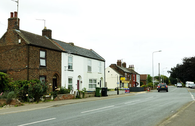
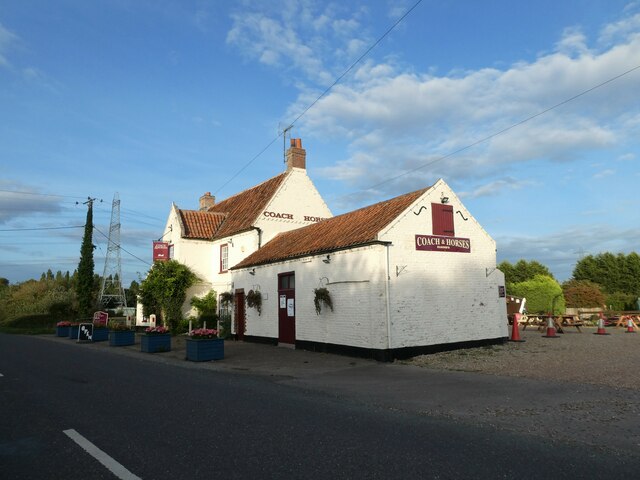
New Field, Norfolk, is also home to several small villages and hamlets, each with its own distinct charm and character. These communities offer a glimpse into the rural way of life, with traditional thatched cottages and quaint village greens.
Overall, New Field, Norfolk, is a captivating destination that showcases the natural beauty and tranquility of the English countryside. Whether it's exploring the downs, wandering through the moorland, or immersing oneself in the idyllic village life, visitors are sure to be enchanted by the charm of this picturesque region.
If you have any feedback on the listing, please let us know in the comments section below.
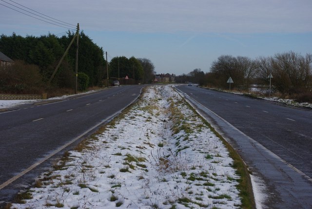
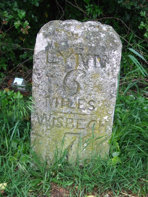
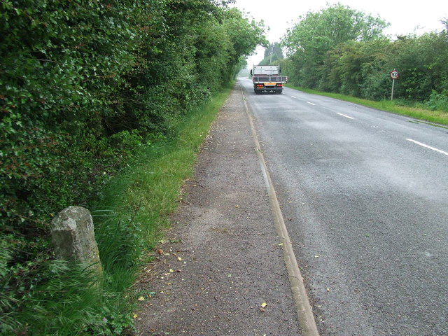
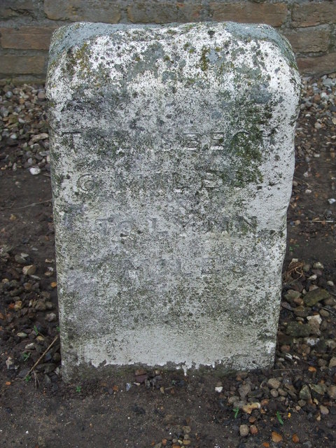
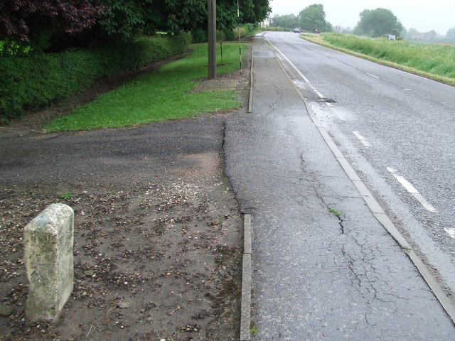
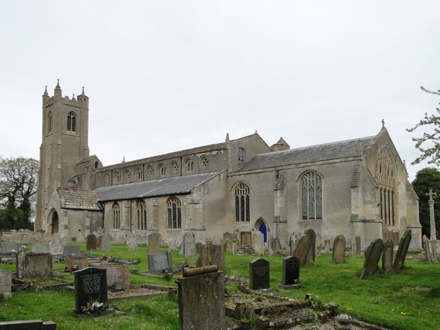
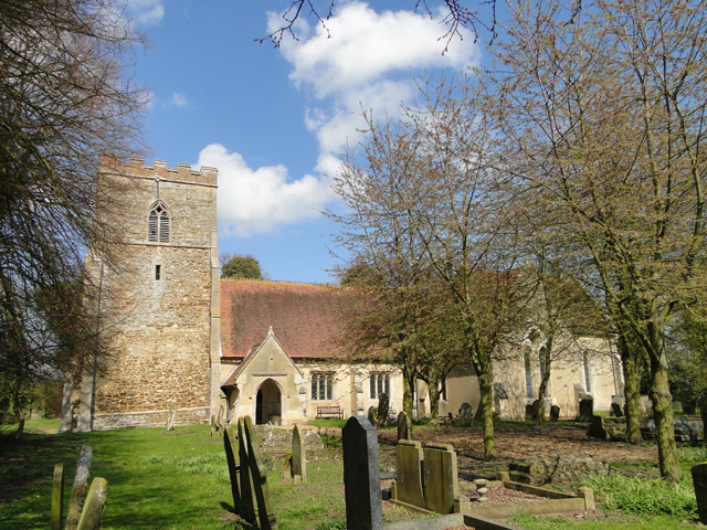
New Field Images
Images are sourced within 2km of 52.712695/0.27126028 or Grid Reference TF5315. Thanks to Geograph Open Source API. All images are credited.

New Field is located at Grid Ref: TF5315 (Lat: 52.712695, Lng: 0.27126028)
Administrative County: Norfolk
District: King's Lynn and West Norfolk
Police Authority: Norfolk
What 3 Words
///probing.intrigued.intrigues. Near Terrington St John, Norfolk
Nearby Locations
Related Wikis

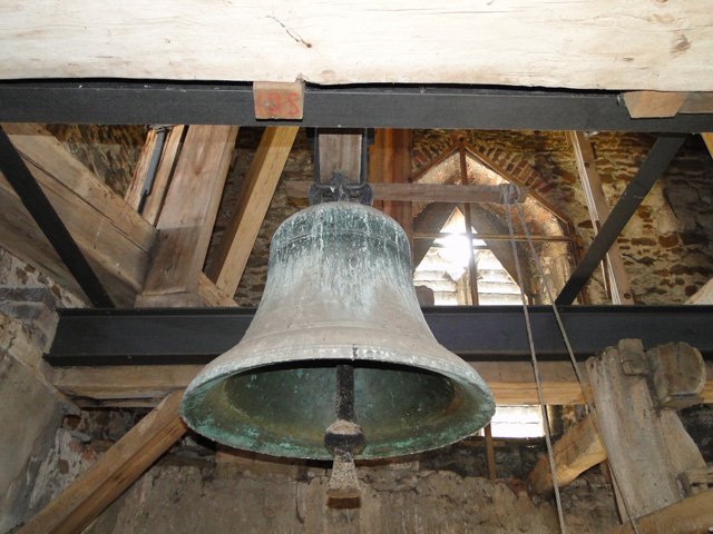
Terrington St John
Terrington St John is a village and civil parish in the English county of Norfolk. The village lies to the south of the route of the A47 between Peterborough...

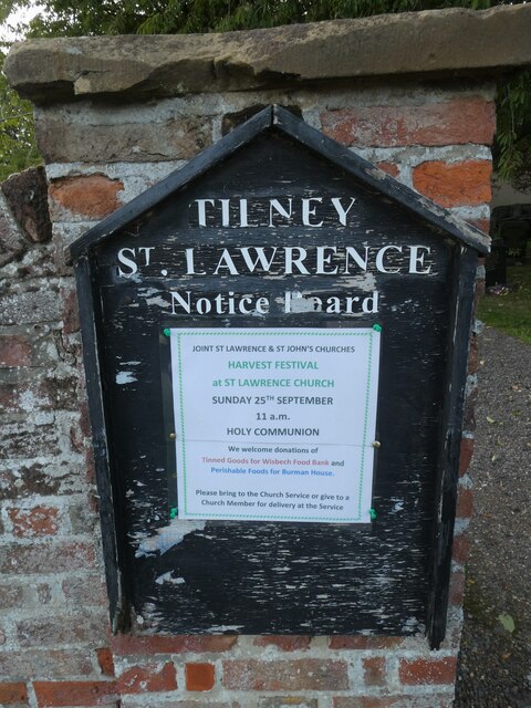
Tilney St Lawrence
Tilney St Lawrence is a village and a civil parish in the English county of Norfolk The village is 52.3 miles (84.2 km) west of Norwich, 9.7 miles (15...

Walpole Highway
Walpole Highway is a village and civil parish in the English county of Norfolk. It covers an area of 10.48 km2 (4.05 sq mi) and had a population of 685...
Islington Heronry
Islington Heronry is a 1.3-hectare (3.2-acre) biological Site of Special Scientific Interest south-west of King's Lynn Norfolk.This stand of mature oaks...
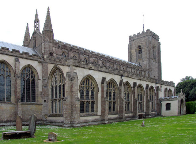
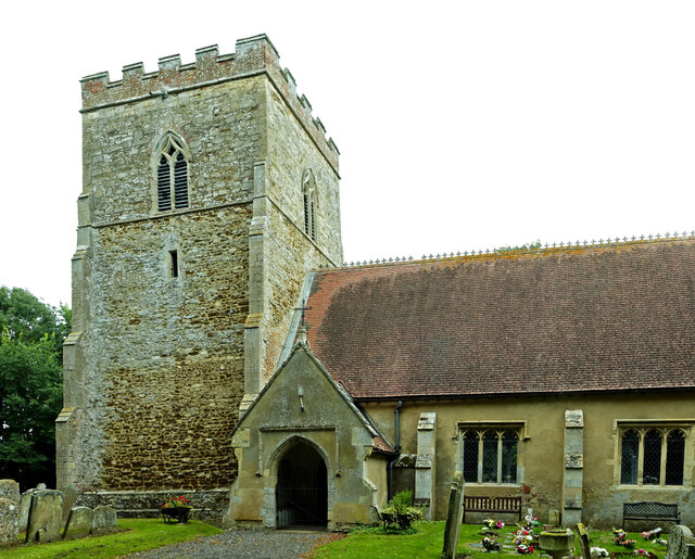
St Peter's Church, Walpole St Peter
St Peter's Church is an active Anglican parish church in Walpole St Peter, Norfolk, England. One of the largest churches in the county, it is known as...
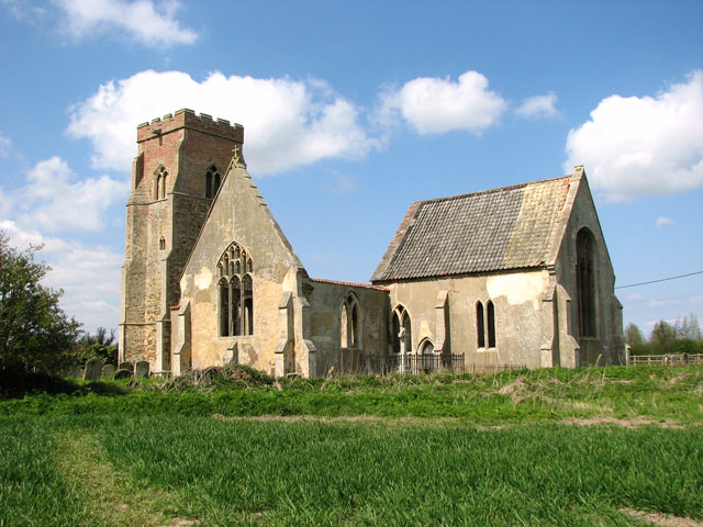
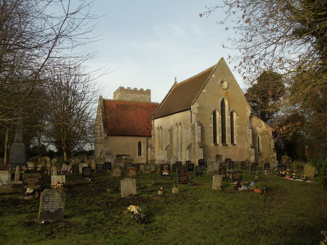
St Mary's Church, Islington, Norfolk
St Mary's Church is a ruined redundant Anglican church in the civil parish of Tilney St Lawrence, Norfolk, England. It is recorded in the National Heritage...

St Andrew's Church, Walpole
St Andrew's Church is a redundant Anglican church in the village of Walpole, Norfolk, England. It is recorded in the National Heritage List for England...
Terrington railway station
Terrington railway station is a former station in Terrington St Clement, Norfolk. It opened in 1866 and was closed in 1959. It was on the Midland and Great...
Nearby Amenities
Located within 500m of 52.712695,0.27126028Have you been to New Field?
Leave your review of New Field below (or comments, questions and feedback).