Bluick Fen

Downs, Moorland in Norfolk King's Lynn and West Norfolk

England

Bluick Fen

East bank of the Middle Level Main Drain At Morton's Bridge.
East bank of the Middle Level Main Drain Credit: Jonathan Thacker

Bluick Fen is a picturesque area located in Norfolk, England, known for its stunning downs and moorland landscapes. Situated in the heart of the Norfolk Broads, Bluick Fen offers a diverse range of natural habitats and an abundance of wildlife.

The downs of Bluick Fen are characterized by gently rolling hills, covered in lush greenery and dotted with vibrant wildflowers. These open grasslands provide a haven for various species of birds, including skylarks and lapwings, which can often be seen soaring through the clear blue skies. The downs also offer breathtaking panoramic views of the surrounding countryside, making it a popular spot for hikers and nature enthusiasts.

In contrast, the moorland of Bluick Fen boasts a more rugged and wild landscape. Here, visitors can explore vast expanses of heather-covered hills, interspersed with marshes and shallow pools. The moorland is home to a variety of wildlife, such as rare species of dragonflies and butterflies, as well as the elusive Norfolk hawker dragonfly. It is also an important breeding ground for several bird species, including the iconic red grouse.

Bluick Fen is a designated Area of Outstanding Natural Beauty, and its diverse ecosystems have been carefully preserved and protected. Visitors can enjoy leisurely walks along the numerous well-maintained trails, which offer the chance to spot wildlife and immerse oneself in the tranquility of the natural surroundings. With its stunning downs and moorland, Bluick Fen truly offers a unique and captivating experience for nature lovers and outdoor enthusiasts alike.

If you have any feedback on the listing, please let us know in the comments section below.
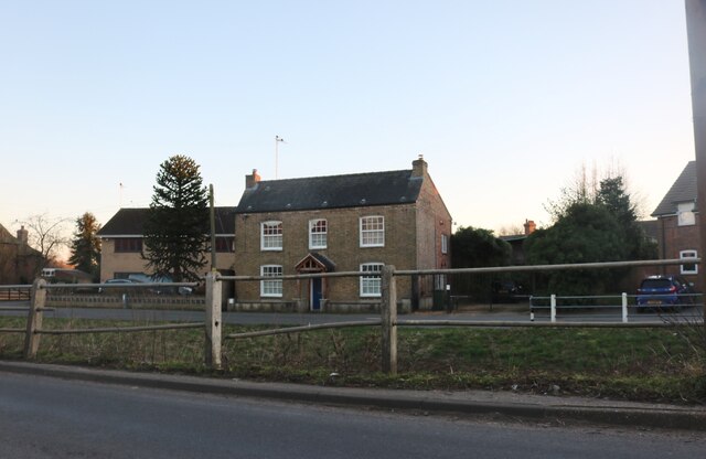
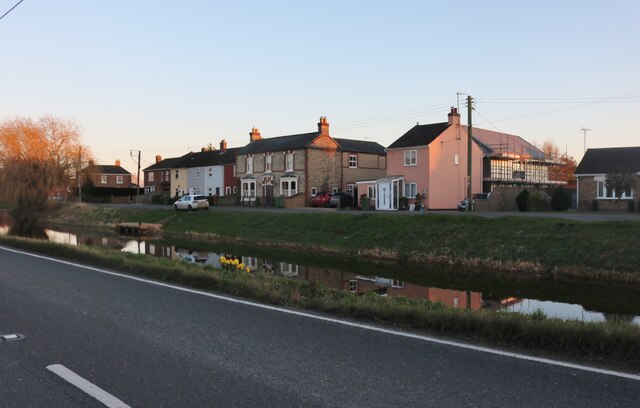
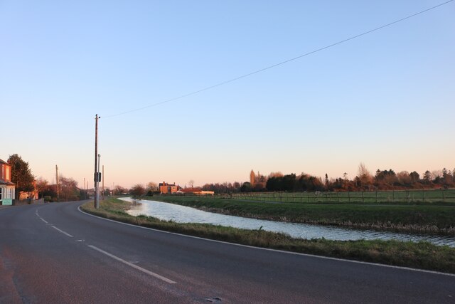
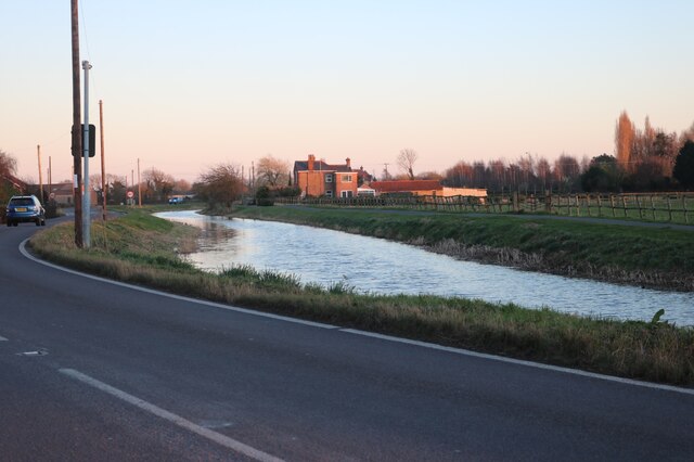
Bluick Fen Images

Images are sourced within 2km of 52.61478/0.26261319 or Grid Reference TF5304. Thanks to Geograph Open Source API. All images are credited.

East bank of the Middle Level Main Drain At Morton's Bridge.
East bank of the Middle Level Main Drain
At Morton's Bridge.
Overgrown drain near Morton's Bridge
Downham Road, Outwell Looking across Well Creek
Downham Road, Outwell
Looking across Well Creek
Well Creek in Outwell Both main roads in run alongside either the River Nene from the south or Well Creek which joins from the east around here.
Well Creek in Outwell
Both main roads in run alongside either the River Nene from the south or Well Creek which joins from the east around here.
Well Creek in Outwell By Downham Road
Well Creek in Outwell
By Downham Road
Well Creek in Outwell
Tollbar Cottage near Outwell By Downham Road
Tollbar Cottage near Outwell
By Downham Road
Sunset over Well Creek
Field by Downham Road, Outwell This is typical of the fen views from Cambs to Lincs and Norfolk.
Field by Downham Road, Outwell
This is typical of the fen views from Cambs to Lincs and Norfolk.
Well creek near Outwell
Parish cemetery in Outwell
Well Creek Road in Outwell with Church Bridge to the right
Morton’s Bridge Morton’s Bridge carries Stow Road over the Middle Level Main Drain.  It is accompanied by a telephone cable.
Morton’s Bridge
Morton’s Bridge carries Stow Road over the Middle Level Main Drain. It is accompanied by a telephone cable.
Banks of the Middle Level Main Drain There is a footpath on each bank.  On this one, there's also a nest box of some kind.
Banks of the Middle Level Main Drain
There is a footpath on each bank. On this one, there's also a nest box of some kind.
Nest box At least, I assume it’s a nest box.  I can't think of any other reason why one might want a box on a pole like this.  Anyway, it has the number 690 on the side.
Nest box
At least, I assume it’s a nest box. I can't think of any other reason why one might want a box on a pole like this. Anyway, it has the number 690 on the side.
Power line across the Middle Level Main Drain Fishing is prohibited close to the power line.
Power line across the Middle Level Main Drain
Fishing is prohibited close to the power line.
Middle Level Main Drain This is the view looking downstream from Morton’s Bridge.
Middle Level Main Drain
This is the view looking downstream from Morton’s Bridge.
Middle Level Main Drain This is the view looking upstream from Morton’s Bridge.
Middle Level Main Drain
This is the view looking upstream from Morton’s Bridge.
Show me another place!

Bluick Fen is located at Grid Ref: TF5304 (Lat: 52.61478, Lng: 0.26261319)

Administrative County: Norfolk

District: King's Lynn and West Norfolk

Police Authority: Norfolk

What 3 Words

///salsa.whirlpool.boldest. Near Outwell, Norfolk

Nearby Locations

Bluick Fen

Related Wikis

Molycourt Priory

The Priory of St Mary de Bello Loco, commonly referred to as Molycourt Priory, was a small Benedictine priory located in the parish of Outwell, Norfolk...

Beaupré Hall

Beaupré Hall was a large 16th-century house mainly of brick, which was built by the Beaupres in Outwell, Norfolk, England and enlarged by their successors...

Outwell Village railway station

Outwell Village railway station was a station in Outwell, Norfolk on the Wisbech and Upwell Tramway. It opened in 1884 and closed to passengers in 1928...

Outwell

Outwell is a village and civil parish in the borough of King's Lynn and West Norfolk, in the English county of Norfolk.At the 2011 Census, the parish had...

Outwell Basin railway station

Outwell Basin railway station was a stop on the Wisbech and Upwell Tramway in Outwell, Norfolk. It opened in 1883 carrying passenger and goods traffic...

Barroway Drove

Barroway Drove is a village in the parish of Stow Bardolph in Norfolk, England. For the purposes of local government, it falls within the district of King...

Upwell railway station

Upwell railway station was a station in Upwell, Norfolk on the Wisbech and Upwell Tramway. It was opened in 1883 to carry passengers and agricultural wares...

Emneth Hungate

Emneth Hungate is a small settlement near the village of Emneth in Norfolk, England, near the border with Cambridgeshire. It once had its own Emneth railway...

Nearby Amenities

Located within 500m of 52.61478,0.26261319
Power: tower
Lat/Long: 52.6175233/0.2618259
Power: tower
Lat/Long: 52.6106311/0.2651303
Power: tower
Lat/Long: 52.6143184/0.2632635
Give Way
Lat/Long: 52.6151736/0.2552907
Give Way
Lat/Long: 52.6153997/0.2553115
Power: pole
Lat/Long: 52.6146734/0.2561243
Power: pole
Lat/Long: 52.6144991/0.2568548
Power: pole
Lat/Long: 52.6143392/0.257544
Power: pole
Lat/Long: 52.6148046/0.2553336
Power: pole
Lat/Long: 52.6148339/0.2554065
Power: pole
Lat/Long: 52.6160682/0.2556715
Power: pole
Lat/Long: 52.615369/0.2555218
Give Way
Lat/Long: 52.6152714/0.2555796
Power: pole
Lat/Long: 52.613859/0.258711
Power: pole
Lat/Long: 52.6110938/0.2624949
Power: pole
Lat/Long: 52.6114379/0.261199
Power: pole
Lat/Long: 52.6122711/0.2608012
Power: pole
Lat/Long: 52.6131673/0.2603509
Power: pole
Lat/Long: 52.6190463/0.2640535
Power: pole
Lat/Long: 52.6186484/0.2629777
Power: pole
Lat/Long: 52.6182406/0.261877
Power: pole
Lat/Long: 52.61811/0.2602896
Power: pole
Lat/Long: 52.6179064/0.2596679
Power: pole
Lat/Long: 52.6174637/0.2583083
Power: pole
Lat/Long: 52.61709/0.2570887
Power: pole
Lat/Long: 52.6169093/0.256512
The data included in this document is from www.openstreetmap.org. The data is made available under ODbL.

Have you been to Bluick Fen?

Leave your review of Bluick Fen below (or comments, questions and feedback).