Cock Fen

Downs, Moorland in Norfolk King's Lynn and West Norfolk

England

Cock Fen

Farm by Wisbech Road, Welney
Farm by Wisbech Road, Welney Credit: David Howard

Cock Fen is a picturesque area located in Norfolk, England. Known for its diverse natural beauty, it encompasses both downs and moorland landscapes, offering a unique blend of habitats for various flora and fauna.

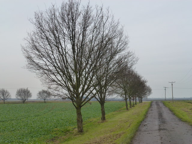
Situated in the eastern part of the county, Cock Fen boasts vast expanses of rolling downs. These grassy hills provide a stunning backdrop and are home to a variety of plant species, including wildflowers such as meadow saxifrage and harebell. The downs also attract a range of birdlife, including skylarks and kestrels, making it a popular destination for birdwatchers.

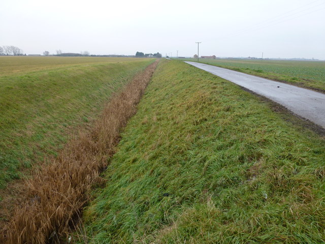
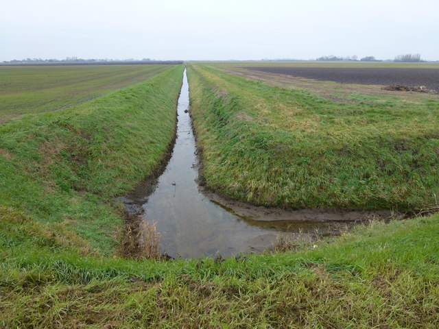
Adjacent to the downs, Cock Fen transitions into a captivating moorland environment. This wetland area is characterized by its peat soil and abundant mosses, creating a rich and diverse ecosystem. Here, visitors can find heather, cotton grass, and other bog-loving plants thriving in the damp conditions. The moorland is also home to several rare species, including the Norfolk hawker dragonfly and the European water vole.

Cock Fen offers numerous walking trails and nature reserves, allowing visitors to explore and appreciate its natural wonders. The area is known for its tranquility, providing a peaceful retreat for those seeking solace in nature. Its unique combination of downs and moorland makes Cock Fen a truly remarkable destination for nature enthusiasts, photographers, and anyone looking to immerse themselves in the beauty of Norfolk's countryside.

If you have any feedback on the listing, please let us know in the comments section below.
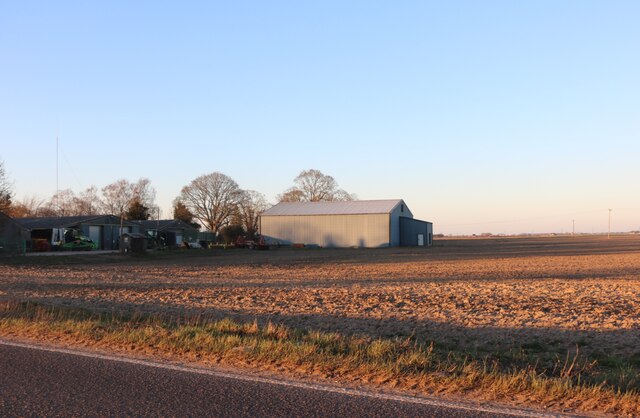
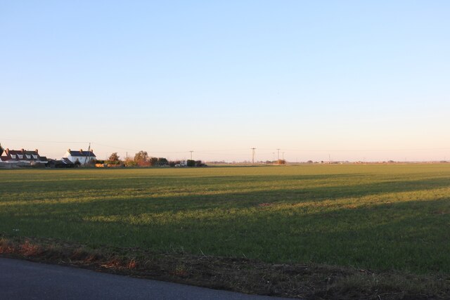
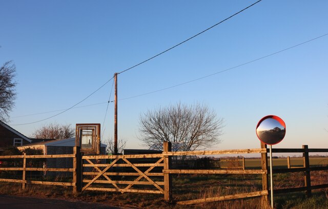
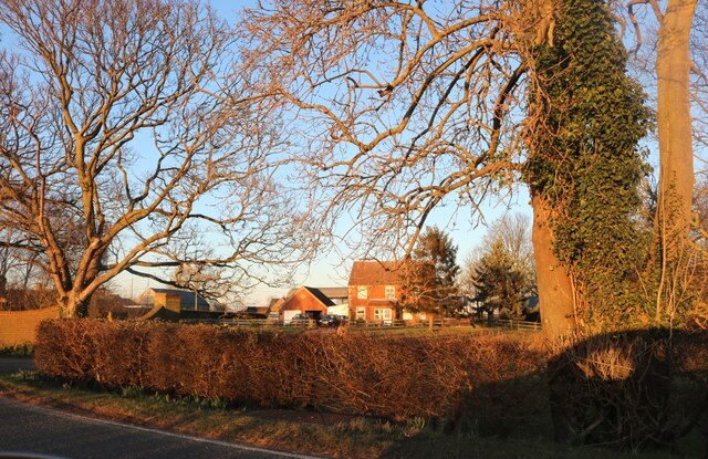
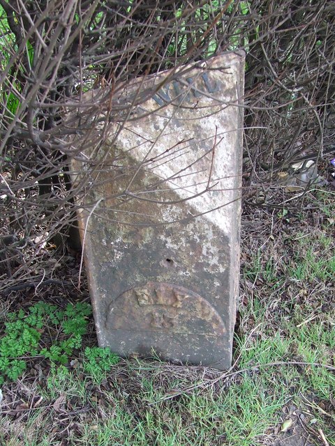
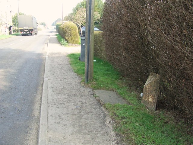
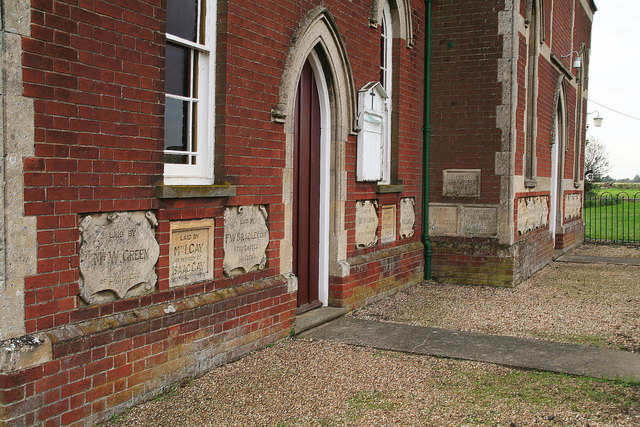
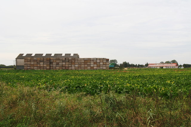
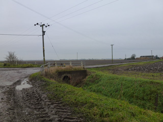
Cock Fen Images

Images are sourced within 2km of 52.55044/0.25251611 or Grid Reference TL5297. Thanks to Geograph Open Source API. All images are credited.

Farm by Wisbech Road, Welney
Field by Wisbech Road, Lakes End
Garden by Main Road, Lakes End
House by Wisbech Road, Lakes End
To Ely 13 Old milepost near to Lakes End, Norfolk for overall view see <a title="https://www.geograph.org.uk/photo/2868443" href="https://www.geograph.org.uk/photo/2868443">Link</a>
To Ely 13
Old milepost near to Lakes End, Norfolk for overall view see Link
Old Milepost Old milepost near to Lakes End, Norfolk for close up view see <a title="https://www.geograph.org.uk/photo/2868437" href="https://www.geograph.org.uk/photo/2868437">Link</a>
Old Milepost
Old milepost near to Lakes End, Norfolk for close up view see Link
Primitive Methodist Chapel, Lakes End This is such a beautiful building that it deserves separate photos to show some of the detail.
See also <a href="https://www.geograph.org.uk/photo/758711">TL5196 : Lakes End Methodist Chapel</a>. This chapel is similar architecturally to several other nearby former Primitive Methodist Chapels (see <a href="https://www.geograph.org.uk/photo/757644">TL5293 : Former Primitive Methodist Chapel</a> at Black Horse Drove and <a href="https://www.geograph.org.uk/photo/757464">TL6096 : Former Primitive Methodist Chapel</a> at Ten Mile Bank). However, this one is still in use as a church.
The original chapel at Lakes End was Wesleyan, founded ante 1800. The current chapel is Primitive Methodist, built with an adjacent schoolroom in 1914. 
I always think when I see this date on a building that they must not have suspected what lay just ahead, i.e. the start of the First World War.
Primitive Methodist Chapel, Lakes End
This is such a beautiful building that it deserves separate photos to show some of the detail. See also TL5196 : Lakes End Methodist Chapel. This chapel is similar architecturally to several other nearby former Primitive Methodist Chapels (see TL5293 : Former Primitive Methodist Chapel at Black Horse Drove and TL6096 : Former Primitive Methodist Chapel at Ten Mile Bank). However, this one is still in use as a church. The original chapel at Lakes End was Wesleyan, founded ante 1800. The current chapel is Primitive Methodist, built with an adjacent schoolroom in 1914. I always think when I see this date on a building that they must not have suspected what lay just ahead, i.e. the start of the First World War.
Primitive Methodist Chapel, Lakes End: detail This is such a beautiful building that it deserves separate photos to show some of the detail.
One of the features of these chapels is the inlaid stones bearing inscriptions to people connected to the chapel, in this case G.Russell, Superintendant of the Sunday School.
See also <a href="https://www.geograph.org.uk/photo/758711">TL5196 : Lakes End Methodist Chapel</a>. This chapel is similar architecturally to several other nearby former Primitive Methodist Chapels (see <a href="https://www.geograph.org.uk/photo/757644">TL5293 : Former Primitive Methodist Chapel</a> at Black Horse Drove and <a href="https://www.geograph.org.uk/photo/757464">TL6096 : Former Primitive Methodist Chapel</a> at Ten Mile Bank). However, this one is still in use as a church.
Primitive Methodist Chapel, Lakes End: detail
This is such a beautiful building that it deserves separate photos to show some of the detail. One of the features of these chapels is the inlaid stones bearing inscriptions to people connected to the chapel, in this case G.Russell, Superintendant of the Sunday School. See also TL5196 : Lakes End Methodist Chapel. This chapel is similar architecturally to several other nearby former Primitive Methodist Chapels (see TL5293 : Former Primitive Methodist Chapel at Black Horse Drove and TL6096 : Former Primitive Methodist Chapel at Ten Mile Bank). However, this one is still in use as a church.
Primitive Methodist Chapel, Lakes End: detail See <a href="https://www.geograph.org.uk/photo/758711">TL5196 : Lakes End Methodist Chapel</a>. 
This is such a beautiful building that it deserves separate photos to show some of the detail.
One of the features of these chapels is the inlaid stones bearing inscriptions to people connected to the chapel.

Very similar architecturally to several other nearby former Primitive Methodist Chapels (see <a href="https://www.geograph.org.uk/photo/757644">TL5293 : Former Primitive Methodist Chapel</a> at Black Horse Drove and <a href="https://www.geograph.org.uk/photo/757464">TL6096 : Former Primitive Methodist Chapel</a> at Ten Mile Bank). However, this one is still in use as a church.
Primitive Methodist Chapel, Lakes End: detail
See TL5196 : Lakes End Methodist Chapel. This is such a beautiful building that it deserves separate photos to show some of the detail. One of the features of these chapels is the inlaid stones bearing inscriptions to people connected to the chapel. Very similar architecturally to several other nearby former Primitive Methodist Chapels (see TL5293 : Former Primitive Methodist Chapel at Black Horse Drove and TL6096 : Former Primitive Methodist Chapel at Ten Mile Bank). However, this one is still in use as a church.
Formerly a view of Grange Farm, Lakes End Stacks of wooden crates are taking over from conifers as the wind-breaks of the fens - and they grow even faster!
Formerly a view of Grange Farm, Lakes End
Stacks of wooden crates are taking over from conifers as the wind-breaks of the fens - and they grow even faster!
Flint House Road and drain To the east of Lot's Bridge near Three Holes
Flint House Road and drain
To the east of Lot's Bridge near Three Holes
Totally churned up road in The Fens Numerous small lanes and roads in Cambridgeshire and Lincolnshire are being wrecked by farm machinery and articulated lorries which appear to get bigger and heavier every year. They are now basically too large for the road infrastructure which was never designed to carry such tonnages. Conditions are particularly bad during the potato and sugar beet harvest at this time of year. 
This is the crossroads where Flint House Road and Cock Fen Road meet Horsehead Drove between Three Holes and Welney
Totally churned up road in The Fens
Numerous small lanes and roads in Cambridgeshire and Lincolnshire are being wrecked by farm machinery and articulated lorries which appear to get bigger and heavier every year. They are now basically too large for the road infrastructure which was never designed to carry such tonnages. Conditions are particularly bad during the potato and sugar beet harvest at this time of year. This is the crossroads where Flint House Road and Cock Fen Road meet Horsehead Drove between Three Holes and Welney
Horse Head Drain near Lakes End Looking south west from Cock Fen Road
Horse Head Drain near Lakes End
Looking south west from Cock Fen Road
Row of trees on Cock Fen Road North east of Lakes End near Welney
Row of trees on Cock Fen Road
North east of Lakes End near Welney
Entrance track to Cock Fen Farm, Lakes End Part of Fred Hartley Estates Ltd
Entrance track to Cock Fen Farm, Lakes End
Part of Fred Hartley Estates Ltd
Potato muck near Cock Fen Farm, Lakes End Probably has been dumped in the corner of this field to fill a hollow. A flock of forraging swans in the distance which over-winter on nearby Welney Washes
Potato muck near Cock Fen Farm, Lakes End
Probably has been dumped in the corner of this field to fill a hollow. A flock of forraging swans in the distance which over-winter on nearby Welney Washes
Unusual design of old brick barn At Willow Farm, Lakes End. It appears to have great potential for conversion to a domestic dwelling
Unusual design of old brick barn
At Willow Farm, Lakes End. It appears to have great potential for conversion to a domestic dwelling
Wisbech Road near Welney House
Show me another place!

Cock Fen is located at Grid Ref: TL5297 (Lat: 52.55044, Lng: 0.25251611)

Administrative County: Norfolk

District: King's Lynn and West Norfolk

Police Authority: Norfolk

What 3 Words

///cycle.arrival.agency. Near Upwell, Norfolk

Nearby Locations

Cock Fen

Related Wikis

Tipps End

Tipps End is an English hamlet on the B1100 road between Welney and Christchurch, Cambridgeshire. It is also sometimes referred to as "Tips End". It is...

Christchurch, Cambridgeshire

Christchurch is a village in the Fenland district of Cambridgeshire, England. The population (including Tipp's End) of the civil parish at the 2011 Census...

Three Holes

Three Holes is a hamlet near Upwell in Norfolk, England. Located on the border of Norfolk and Cambridgeshire, the two sides of the river are in separate...

Welney

Welney is a village and civil parish in the Fens of England and the county of Norfolk. The village is about 10 miles (16 km) south-west of the town of...

Nearby Amenities

Located within 500m of 52.55044,0.25251611
Give Way
Lat/Long: 52.550747/0.2508418
Building: yes
Lat/Long: 52.5492178/0.2531452
Building: yes
Lat/Long: 52.5526689/0.2541644
Building: yes
Lat/Long: 52.5530929/0.2551837
Give Way
Lat/Long: 52.550631/0.250639
Give Way
Lat/Long: 52.550768/0.250643
The data included in this document is from www.openstreetmap.org. The data is made available under ODbL.

Have you been to Cock Fen?

Leave your review of Cock Fen below (or comments, questions and feedback).