Tuxhill Field
Downs, Moorland in Norfolk King's Lynn and West Norfolk
England
Tuxhill Field

Tuxhill Field is a vast expanse of natural beauty located in Norfolk, England. Stretching across the Downs and Moorland areas, this field offers a diverse landscape that caters to a range of outdoor activities and provides a haven for wildlife enthusiasts.
Situated in the heart of Norfolk, Tuxhill Field boasts rolling hills and breathtaking views that attract locals and tourists alike. The field is characterized by its open grasslands, interspersed with patches of woodland and glistening streams. This combination of habitats creates an ideal environment for a variety of flora and fauna, making it a popular destination for nature lovers.
The Downs area of Tuxhill Field is known for its gentle slopes and lush greenery. It offers ample space for recreational activities such as picnics, kite flying, and frisbee. The tranquility of the surroundings also makes it a favored spot for yoga and meditation enthusiasts.
On the other hand, the Moorland section of Tuxhill Field presents a more rugged terrain. With its heather-covered hills and rocky outcrops, it is a haven for hikers and mountain bikers. The diversity of this landscape provides an opportunity to explore different ecosystems within a relatively small area.
Tuxhill Field is also home to a rich array of wildlife. Birdwatchers can spot various species, including kestrels, larks, and plovers, while the woodlands host squirrels, rabbits, and deer. The field's wetlands support a variety of aquatic life, including frogs, newts, and dragonflies.
Overall, Tuxhill Field in Norfolk offers an idyllic setting for outdoor enthusiasts, providing a beautiful natural landscape and a wealth of recreational opportunities.
If you have any feedback on the listing, please let us know in the comments section below.
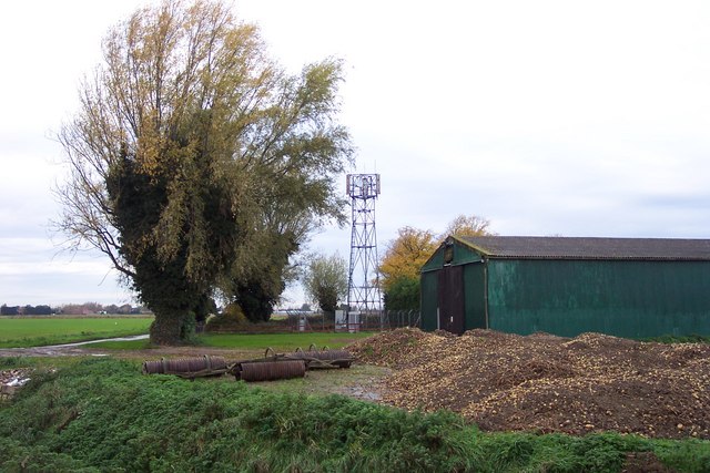
Tuxhill Field Images
Images are sourced within 2km of 52.735697/0.26032412 or Grid Reference TF5217. Thanks to Geograph Open Source API. All images are credited.


Tuxhill Field is located at Grid Ref: TF5217 (Lat: 52.735697, Lng: 0.26032412)
Administrative County: Norfolk
District: King's Lynn and West Norfolk
Police Authority: Norfolk
What 3 Words
///going.swatted.roost. Near Terrington St John, Norfolk
Nearby Locations
Related Wikis
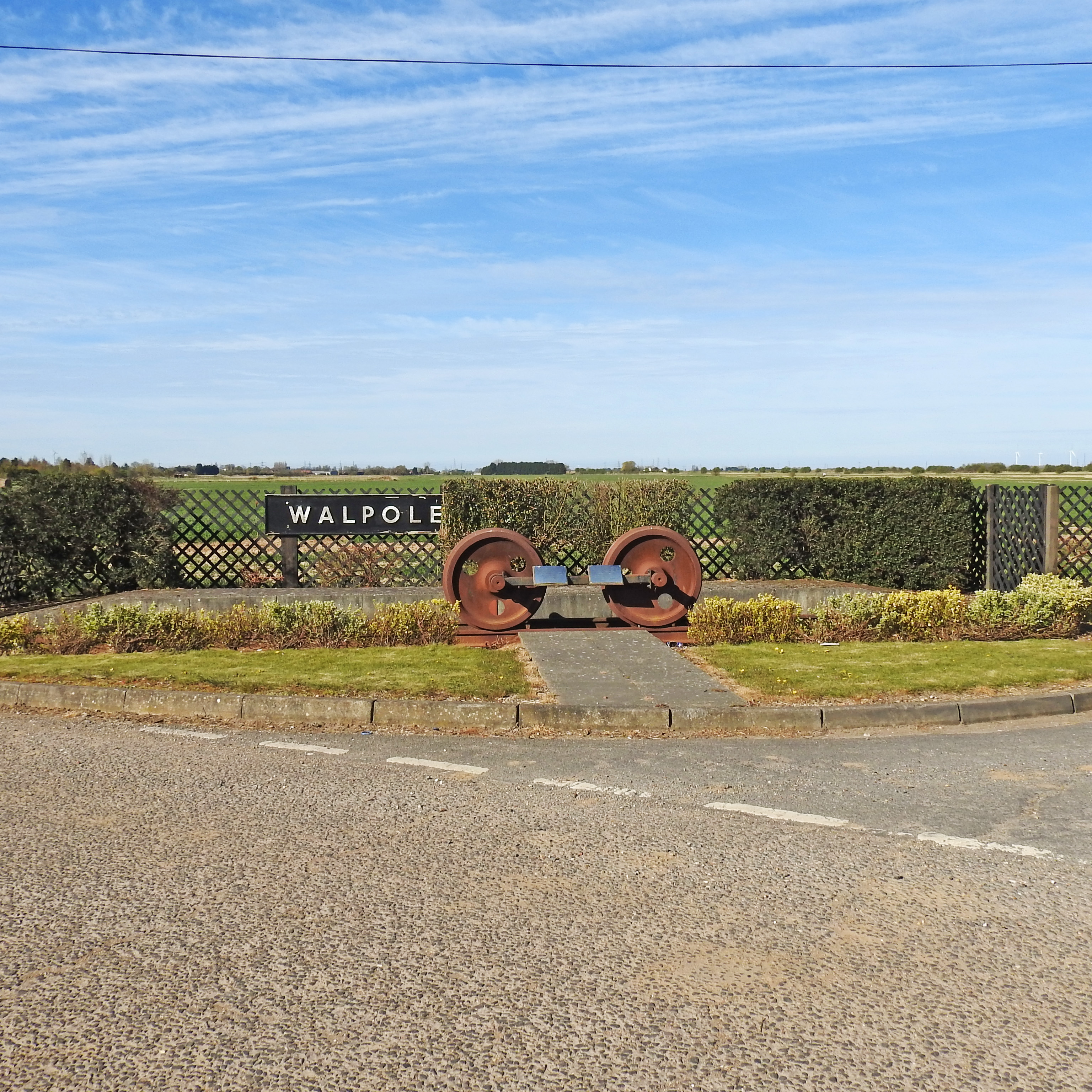
Walpole railway station (England)
Walpole railway station was a station in Norfolk. It is now disused. First opened in 1866, it was part of the Midland and Great Northern Joint Railway...

Walpole Cross Keys
Walpole Cross Keys is a village and civil parish in the English county of Norfolk. It covers an area of 4.03 km2 (1.56 sq mi) and had a population of 469...

St Andrew's Church, Walpole
St Andrew's Church is a redundant Anglican church in the village of Walpole, Norfolk, England. It is recorded in the National Heritage List for England...
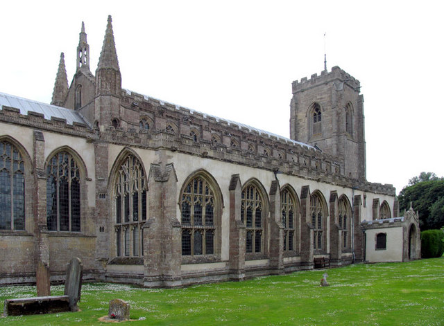
St Peter's Church, Walpole St Peter
St Peter's Church is an active Anglican parish church in Walpole St Peter, Norfolk, England. One of the largest churches in the county, it is known as...
Nearby Amenities
Located within 500m of 52.735697,0.26032412Have you been to Tuxhill Field?
Leave your review of Tuxhill Field below (or comments, questions and feedback).