Low Fen
Downs, Moorland in Norfolk King's Lynn and West Norfolk
England
Low Fen

Low Fen, Norfolk is a diverse and picturesque region located in the eastern part of England. Characterized by its unique landscape, it encompasses three distinct areas: Downs, Moorland, and Fen. Each area offers its own natural beauty and attractions, making Low Fen an appealing destination for nature enthusiasts and visitors seeking tranquility.
The Downs region of Low Fen is known for its rolling hills and expansive grasslands. It provides breathtaking panoramic views of the surrounding countryside and is home to a variety of plant and animal species. The area is popular among hikers and walkers, who can explore the numerous trails that traverse the Downs.
Moorland, on the other hand, showcases a more rugged and wild terrain. It is characterized by vast stretches of heathland covered in purple heather, creating a stunning spectacle during the blooming season. Moorland is home to a diverse range of wildlife, including birds such as curlews and skylarks, as well as various reptiles and insects.
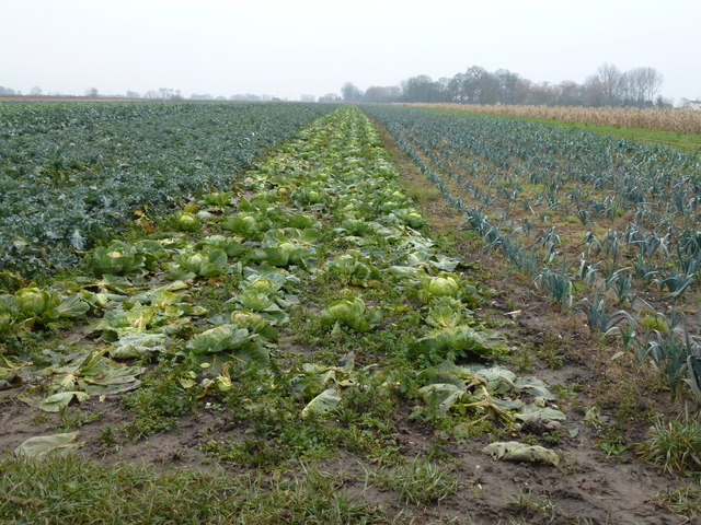
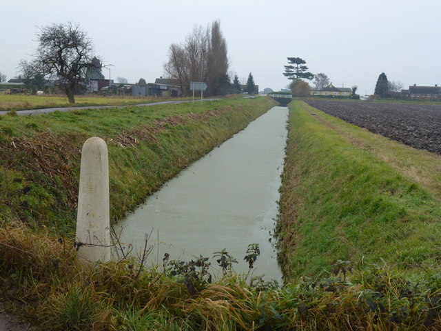
Lastly, the Fen region of Low Fen is a unique wetland area with a rich biodiversity. It features a network of marshes, reed beds, and waterways, providing a habitat for numerous bird species, including herons and bitterns. The Fen is also home to rare plant species such as fen orchids and sundews.
Overall, Low Fen, Norfolk offers a captivating blend of natural landscapes, from the rolling hills and grasslands of the Downs, to the rugged beauty of the Moorland, and the tranquil wetlands of the Fen. Whether it's hiking, birdwatching, or simply taking in the stunning scenery, Low Fen provides an unforgettable experience for visitors of all interests.
If you have any feedback on the listing, please let us know in the comments section below.
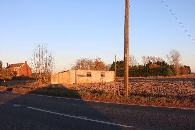
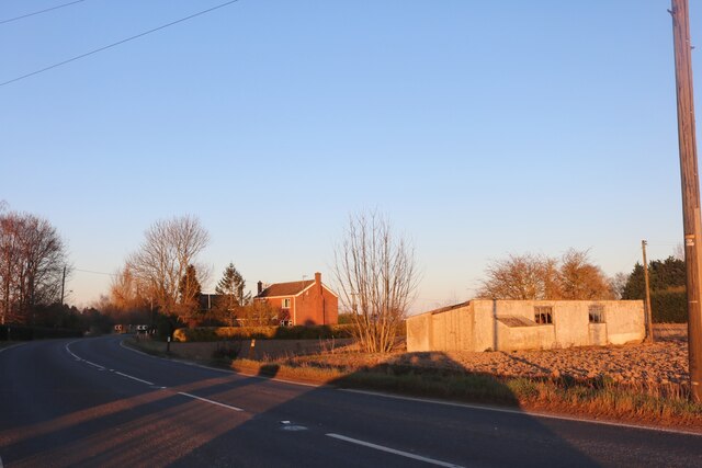
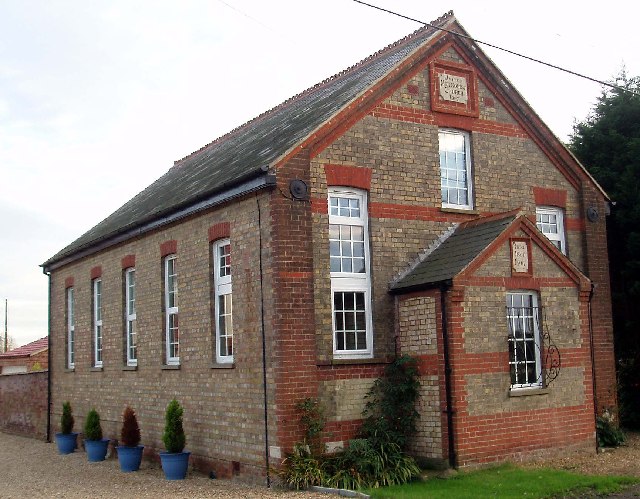
Low Fen Images
Images are sourced within 2km of 52.586956/0.25246932 or Grid Reference TF5201. Thanks to Geograph Open Source API. All images are credited.


Low Fen is located at Grid Ref: TF5201 (Lat: 52.586956, Lng: 0.25246932)
Administrative County: Norfolk
District: King's Lynn and West Norfolk
Police Authority: Norfolk
What 3 Words
///because.replays.mills. Near Upwell, Norfolk
Nearby Locations
Related Wikis

Molycourt Priory
The Priory of St Mary de Bello Loco, commonly referred to as Molycourt Priory, was a small Benedictine priory located in the parish of Outwell, Norfolk...

Upwell railway station
Upwell railway station was a station in Upwell, Norfolk on the Wisbech and Upwell Tramway. It was opened in 1883 to carry passengers and agricultural wares...

Upwell
Upwell is a village and civil parish in the English county of Norfolk. Upwell village is on the A1101 road, as is Outwell, its conjoined village at the...
Outwell Village railway station
Outwell Village railway station was a station in Outwell, Norfolk on the Wisbech and Upwell Tramway. It opened in 1884 and closed to passengers in 1928...

Nordelph
Nordelph is a civil parish near Downham Market in the English county of Norfolk. The parish covers an area of 16.57 km2 (6.40 sq mi) and had a population...
Three Holes
Three Holes is a hamlet near Upwell in Norfolk, England. Located on the border of Norfolk and Cambridgeshire, the two sides of the river are in separate...
Barroway Drove
Barroway Drove is a village in the parish of Stow Bardolph in Norfolk, England. For the purposes of local government, it falls within the district of King...

Beaupré Hall
Beaupré Hall was a large 16th-century house mainly of brick, which was built by the Beaupres in Outwell, Norfolk, England and enlarged by their successors...
Have you been to Low Fen?
Leave your review of Low Fen below (or comments, questions and feedback).