Cow Croft Field

Downs, Moorland in Norfolk King's Lynn and West Norfolk

England

Cow Croft Field

Ancient orchard The orchard seems well tended, but I suspect the trees are a little past their best.
Ancient orchard Credit: Ben Harris

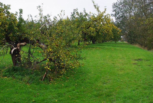
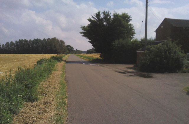
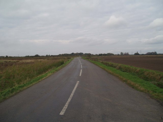
Cow Croft Field is a vast, picturesque expanse of countryside located in Norfolk, England. Situated on the eastern side of the county, it is renowned for its diverse landscape, encompassing downs, moorland, and meadows. Spanning over several hectares, this rural gem offers a tranquil retreat away from the bustling city life.

The downs in Cow Croft Field are characterized by rolling hills covered in lush green grass, creating a stunning backdrop that stretches as far as the eye can see. These gentle slopes provide an ideal environment for grazing livestock, particularly cows, which gives the field its name. The presence of these animals adds to the authentic rural atmosphere, as visitors can often witness them peacefully roaming the meadows.

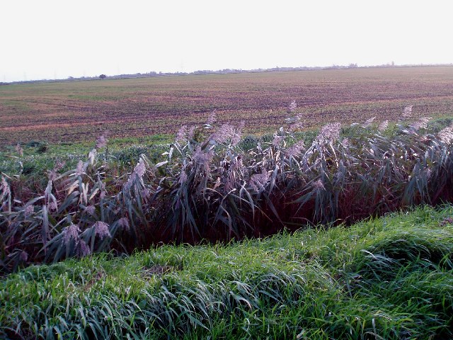
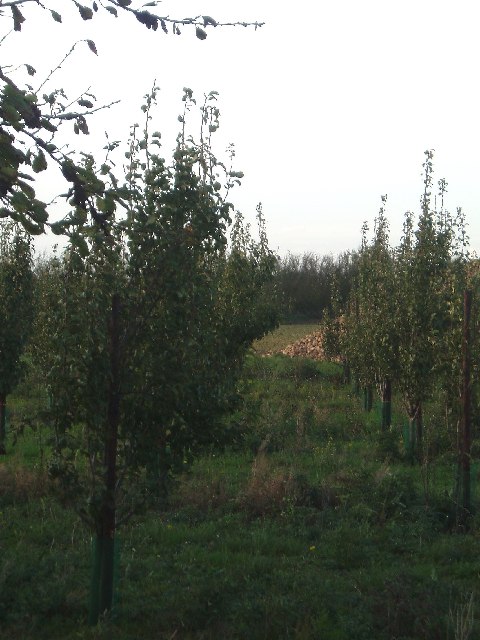
Adjacent to the downs, Cow Croft Field boasts a moorland area, complete with heathland and scattered patches of woodland. This unique combination of habitats fosters a rich biodiversity, attracting a multitude of wildlife species. Birdwatchers will delight in the opportunity to spot various avian species, including kestrels, lapwings, and skylarks, which are known to frequent the moorland.

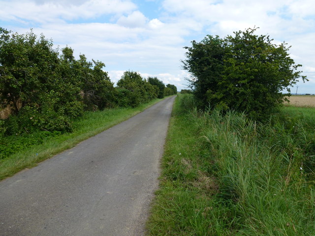
The field is a haven for nature enthusiasts and outdoor enthusiasts alike, offering plenty of opportunities for hiking, picnicking, and photography. Visitors can explore the numerous footpaths that crisscross the landscape, taking in the serene surroundings and appreciating the beauty of the Norfolk countryside.

In conclusion, Cow Croft Field in Norfolk, England, is a remarkable countryside location encompassing downs, moorland, and meadows. Its picturesque landscape, diverse wildlife, and tranquil ambiance make it an idyllic destination for those seeking solace in nature.

If you have any feedback on the listing, please let us know in the comments section below.

Cow Croft Field Images

Images are sourced within 2km of 52.645584/0.24378836 or Grid Reference TF5107. Thanks to Geograph Open Source API. All images are credited.

Ancient orchard The orchard seems well tended, but I suspect the trees are a little past their best.
Ancient orchard
The orchard seems well tended, but I suspect the trees are a little past their best.
On the edge of Edge Bank, Emneth Hungate This is one of several roads in the area which form a large semi-circle on OS maps. With names such as Edge Bank, Marshland St James and Old Podike Bank they most probably were the edge of Marshland Fen before it was drained a few centuries ago.
On the edge of Edge Bank, Emneth Hungate
This is one of several roads in the area which form a large semi-circle on OS maps. With names such as Edge Bank, Marshland St James and Old Podike Bank they most probably were the edge of Marshland Fen before it was drained a few centuries ago.
Spraying a wheatfield on Edge Bank In Great Fendike Field south of Emneth Hungate, Norfolk
Spraying a wheatfield on Edge Bank
In Great Fendike Field south of Emneth Hungate, Norfolk
Wheatfield and distant pylon on Edge Bank Between Emneth Hungate and Outwell
Wheatfield and distant pylon on Edge Bank
Between Emneth Hungate and Outwell
Fendike Road, Holly End, Emneth A quiet country lane which passes between Little Fendike Field and Great Fendike Field
Fendike Road, Holly End, Emneth
A quiet country lane which passes between Little Fendike Field and Great Fendike Field
Mobile pea viners near Emneth Hungate Just finished vining on Great Fendike Field
Mobile pea viners near Emneth Hungate
Just finished vining on Great Fendike Field
Harvesting on The Edge A view from Edge Bank near Outwell
Harvesting on The Edge
A view from Edge Bank near Outwell
Dike full of reeds off Edge bank, Outwell
Crop field. Chequers Corner Recently harvested.
Crop field. Chequers Corner
Recently harvested.
Walsoken Road Heading south east.
Walsoken Road
Heading south east.
The War Memorial at Marshland St. James The memorial faces the road and is situated just inside the cemetery gates. It is a memorial to the 16 men of Marshland Smeeth, Marshland Fen who lost their lives in WW1 as well as the five that were lost in WW2.
The War Memorial at Marshland St. James
The memorial faces the road and is situated just inside the cemetery gates. It is a memorial to the 16 men of Marshland Smeeth, Marshland Fen who lost their lives in WW1 as well as the five that were lost in WW2.
The Edge - flat fenland to a flat horizon. Looking east towards Poppylots Farm.
The Edge - flat fenland to a flat horizon.
Looking east towards Poppylots Farm.
Edge Bank: an empty Fen road. There is little else of interest in this square!
Edge Bank: an empty Fen road.
There is little else of interest in this square!
Reeds and farmland, Marshland Fen. The common reed (Phragmites australis) inhabits most Fenland ditches.
Reeds and farmland, Marshland Fen.
The common reed (Phragmites australis) inhabits most Fenland ditches.
Fenland sky and pylon chain. Moyse's Bank near Marshland House.
Fenland sky and pylon chain.
Moyse's Bank near Marshland House.
Italian poplars at Emneth Hungate. The locality is Poplar Tree Farm, but the buildings are derelict.
Italian poplars at Emneth Hungate.
The locality is Poplar Tree Farm, but the buildings are derelict.
Abandoned building, Emneth Hungate. Poplar Tree Farm is marked on the map at this point.
Abandoned building, Emneth Hungate.
Poplar Tree Farm is marked on the map at this point.
Recently planted apple trees, Fendyke. A somewhat unusual sight; orchards are usually grubbed out and the land used for other crops. Sugar beet in the background.
Recently planted apple trees, Fendyke.
A somewhat unusual sight; orchards are usually grubbed out and the land used for other crops. Sugar beet in the background.
Show me another place!

Cow Croft Field is located at Grid Ref: TF5107 (Lat: 52.645584, Lng: 0.24378836)

Administrative County: Norfolk

District: King's Lynn and West Norfolk

Police Authority: Norfolk

What 3 Words

///easygoing.standards.orange. Near Emneth, Norfolk

Related Wikis

Emneth Hungate

Emneth Hungate is a small settlement near the village of Emneth in Norfolk, England, near the border with Cambridgeshire. It once had its own Emneth railway...

Marshland Rural District

Marshland Rural District was a rural district in Norfolk, England from 1894 to 1974.It was formed under the Local Government Act 1894 based on the Marshland...

Marshland St James

Marshland St James is a village and civil parish in the English county of Norfolk. It covers an area of 25.69 km2 (9.92 sq mi) and had a population of...

Smeeth Road railway station

Smeeth Road was a railway station serving the villages of Emneth Hungate, Marshland St James and St John Fen's End, all east of Wisbech in Norfolk, England...

Nearby Amenities

Located within 500m of 52.645584,0.24378836
Man Made: wastewater_plant
Operator: Anglian Water
Lat/Long: 52.6435585/0.2399497
Power: tower
Lat/Long: 52.6434996/0.2485977
Power: tower
Lat/Long: 52.6462077/0.2471279
Power: tower
Lat/Long: 52.6484599/0.2459584
Power: pole
Lat/Long: 52.6457479/0.2395588
Power: pole
Lat/Long: 52.6447625/0.2393952
Power: pole
Lat/Long: 52.642681/0.2381238
Power: pole
Lat/Long: 52.6437437/0.2390599
Power: pole
Lat/Long: 52.6426517/0.238675
The data included in this document is from www.openstreetmap.org. The data is made available under ODbL.

Have you been to Cow Croft Field?

Leave your review of Cow Croft Field below (or comments, questions and feedback).