Church Field

Downs, Moorland in Norfolk King's Lynn and West Norfolk

England

Church Field

House by the River Nene, Upwell
House by the River Nene, Upwell Credit: David Howard

Church Field is a charming and idyllic location nestled in the heart of Norfolk, England. Situated in the eastern region of the country, this expansive area encompasses downs and moorland, offering a diverse landscape for visitors to explore.

The downs of Church Field are characterized by their gently rolling hills, covered in lush green grasses and scattered with vibrant wildflowers during the summer months. These open spaces provide a serene and peaceful environment, perfect for picnics, walking, or simply enjoying the breathtaking views of the surrounding countryside.

In contrast, the moorland of Church Field offers a more rugged and wild experience. Here, visitors can wander through heather-covered hills, traversing the winding paths that lead to hidden valleys and ancient woodlands. The moorland is also home to an abundance of wildlife, including various bird species, deer, and even the occasional hare.

Church Field itself is dotted with picturesque churches and quaint villages, adding to its timeless charm. The area is steeped in history, with remnants of ancient settlements and historical landmarks scattered throughout. Visitors can explore the ruins of old churches, crumbling castles, and even discover ancient burial mounds, connecting them to the rich heritage of the area.

Overall, Church Field in Norfolk offers a unique blend of natural beauty, tranquility, and historical significance. Whether it's admiring the panoramic views from the downs, immersing oneself in the untamed moorland, or delving into the fascinating past of the region, visitors are sure to find something captivating in this enchanting corner of Norfolk.

If you have any feedback on the listing, please let us know in the comments section below.
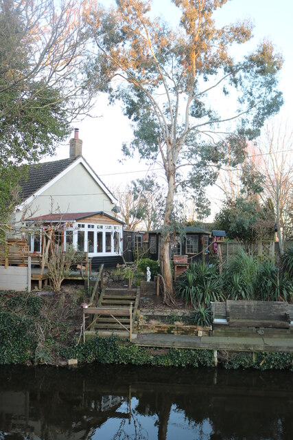
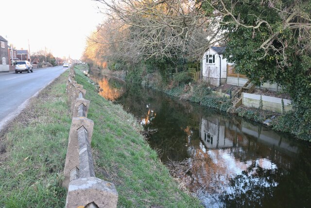
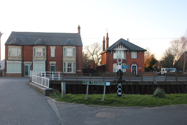
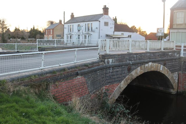
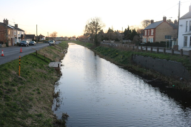
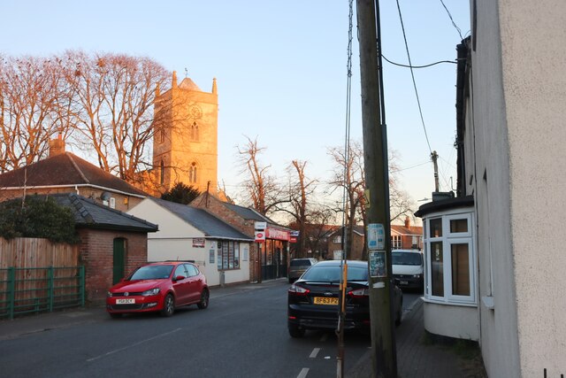
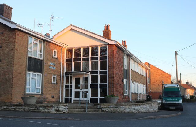
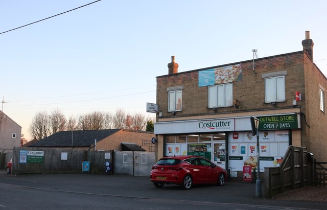
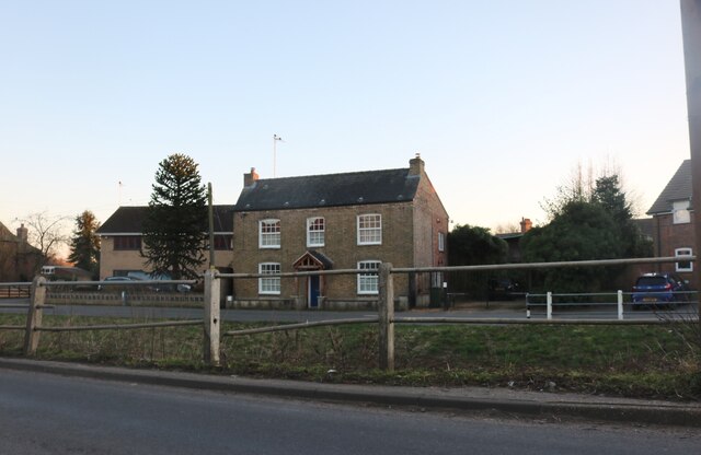
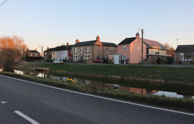
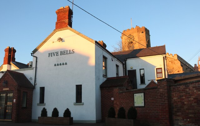
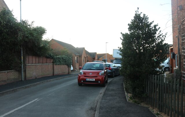
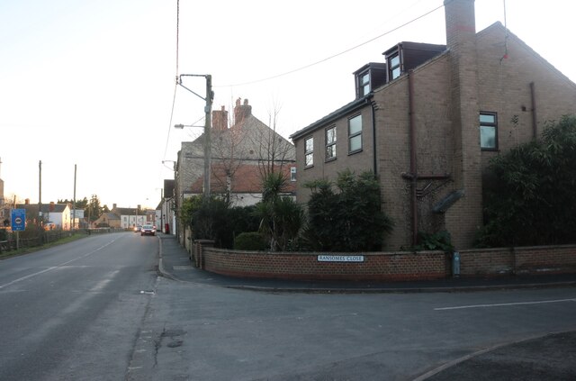
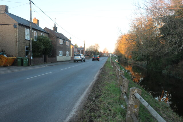
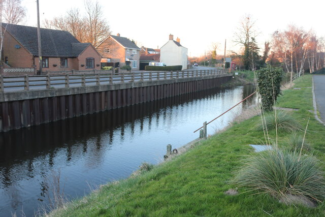
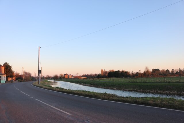
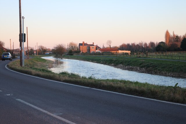
Church Field Images

Images are sourced within 2km of 52.602665/0.24058952 or Grid Reference TF5102. Thanks to Geograph Open Source API. All images are credited.

House by the River Nene, Upwell
The River Nene, Upwell The main roads in the area follow it like this for some miles.
The River Nene, Upwell
The main roads in the area follow it like this for some miles.
The Tramway, Outwell This marks the point of the old tramway. It went from here to Wisbech. <span class="nowrap"><a title="https://www.wellcreektrust.org.uk/tramway-2/" rel="nofollow ugc noopener" href="https://www.wellcreektrust.org.uk/tramway-2/">Link</a><img style="margin-left:2px;" alt="External link" title="External link - shift click to open in new window" src="https://s1.geograph.org.uk/img/external.png" width="10" height="10"/></span>
The Tramway, Outwell
This marks the point of the old tramway. It went from here to Wisbech. LinkExternal link
Isle Bridge, Outwell Crossing the River Nene
Isle Bridge, Outwell
Crossing the River Nene
The River Nene, Outwell
Church Drove, Outwell Looking towards St Clement's Church
Church Drove, Outwell
Looking towards St Clement's Church
Ingle House in Outwell It looks like offices but it's a block of flats.
Ingle House in Outwell
It looks like offices but it's a block of flats.
Costcutter on Church Drove, Outwell
Downham Road, Outwell Looking across Well Creek
Downham Road, Outwell
Looking across Well Creek
Well Creek in Outwell Both main roads in run alongside either the River Nene from the south or Well Creek which joins from the east around here.
Well Creek in Outwell
Both main roads in run alongside either the River Nene from the south or Well Creek which joins from the east around here.
The Five Bells, Upwell
Ransomes Close, Upwell
Rectory Road at the junction of Ransomes Close
Rectory Road, Upwell Built along the River Nene
Rectory Road, Upwell
Built along the River Nene
The River Nene, Outwell
Well Creek in Outwell By Downham Road
Well Creek in Outwell
By Downham Road
Well Creek in Outwell
Tollbar Cottage near Outwell By Downham Road
Tollbar Cottage near Outwell
By Downham Road
Show me another place!

Church Field is located at Grid Ref: TF5102 (Lat: 52.602665, Lng: 0.24058952)

Administrative County: Norfolk

District: King's Lynn and West Norfolk

Police Authority: Norfolk

What 3 Words

///traders.frown.staked. Near Outwell, Norfolk

Nearby Locations

Church Field

Related Wikis

Outwell Village railway station

Outwell Village railway station was a station in Outwell, Norfolk on the Wisbech and Upwell Tramway. It opened in 1884 and closed to passengers in 1928...

Upwell railway station

Upwell railway station was a station in Upwell, Norfolk on the Wisbech and Upwell Tramway. It was opened in 1883 to carry passengers and agricultural wares...

Molycourt Priory

The Priory of St Mary de Bello Loco, commonly referred to as Molycourt Priory, was a small Benedictine priory located in the parish of Outwell, Norfolk...

Beaupré Hall

Beaupré Hall was a large 16th-century house mainly of brick, which was built by the Beaupres in Outwell, Norfolk, England and enlarged by their successors...

Nearby Amenities

Located within 500m of 52.602665,0.24058952
Power: pole
Lat/Long: 52.607027/0.2399209
Power: pole
Lat/Long: 52.6063103/0.2400738
Power: pole
Lat/Long: 52.6056424/0.2401972
Power: pole
Lat/Long: 52.6049453/0.2403474
Power: pole
Lat/Long: 52.6047376/0.2466573
Power: pole
Lat/Long: 52.6047417/0.2450962
Power: pole
Lat/Long: 52.60474/0.2441226
Power: pole
Lat/Long: 52.604749/0.2428392
Power: pole
Lat/Long: 52.6047514/0.2415892
Power: pole
Lat/Long: 52.604253/0.2404989
Power: pole
Lat/Long: 52.6035835/0.2389111
Power: pole
Lat/Long: 52.6029205/0.237346
Power: pole
Lat/Long: 52.6020775/0.2366728
Power: pole
Lat/Long: 52.6014348/0.2361712
Power: pole
Lat/Long: 52.600402/0.2353558
Power: pole
Lat/Long: 52.5983753/0.2410032
Power: pole
Lat/Long: 52.5985602/0.2397332
Power: pole
Lat/Long: 52.5988665/0.2373607
Power: pole
Lat/Long: 52.5987077/0.2385584
Power: pole
Lat/Long: 52.6052381/0.2458233
The data included in this document is from www.openstreetmap.org. The data is made available under ODbL.

Have you been to Church Field?

Leave your review of Church Field below (or comments, questions and feedback).