Burgh Common

Downs, Moorland in Lincolnshire East Lindsey

England

Burgh Common

Direction Sign – Signpost on Ingoldmells Lane in Burgh le Marsh Located on the north side of the junction of Ingoldmells Road and Common Lane in Burgh le Marsh parish. 3 arms and no finial. Originally only Common Lane was a No Through Road, but with the A158 bypass cutting Ingoldmells Road into two, 2 out of 3 are NTR!.

Milestone Society National ID: LI_TF5065
Direction Sign – Signpost on Ingoldmells Lane in Burgh le Marsh Credit: A Riley

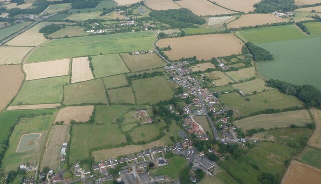
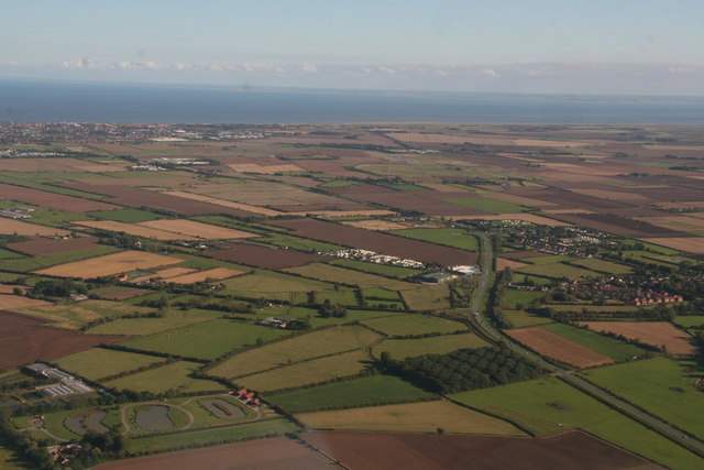
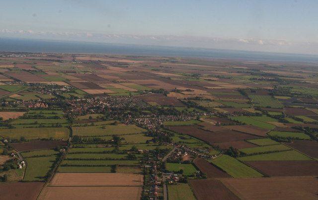
Burgh Common is a small village located in the county of Lincolnshire, England. Situated on the outskirts of the town of Skegness, it is a picturesque area known for its stunning natural landscape. The village is nestled between the Lincolnshire Wolds, a designated Area of Outstanding Natural Beauty, and the Lincolnshire coast, offering residents and visitors a diverse range of outdoor activities.

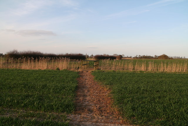
The area is characterized by its rolling hills, lush green fields, and open moorland. It is a haven for nature lovers, with an abundance of wildlife and a variety of flora and fauna. The village is surrounded by several nature reserves, including Gibraltar Point National Nature Reserve and Donna Nook Nature Reserve, which are popular destinations for birdwatching and hiking.

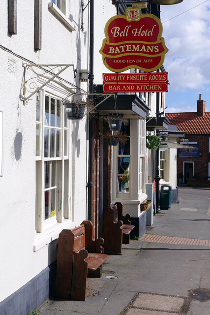
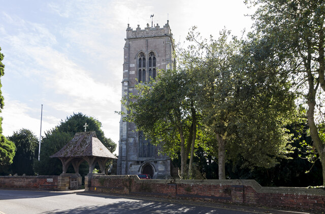
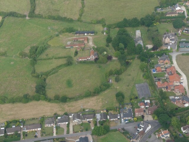
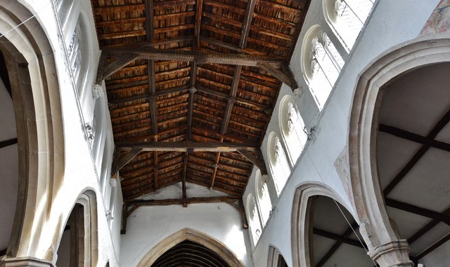
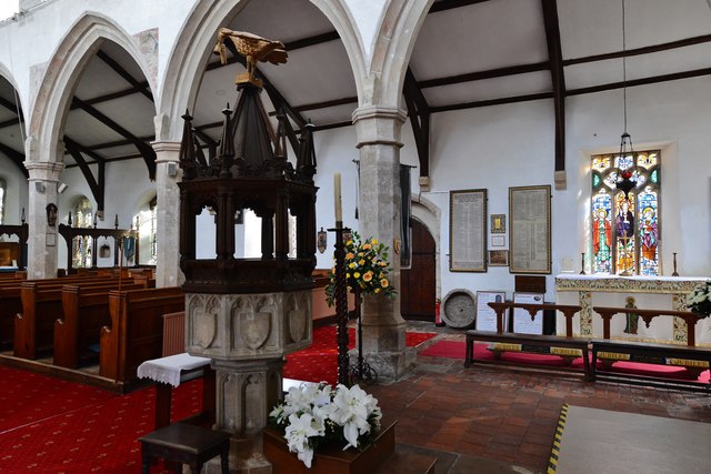
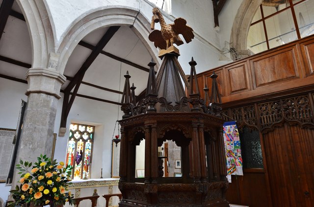
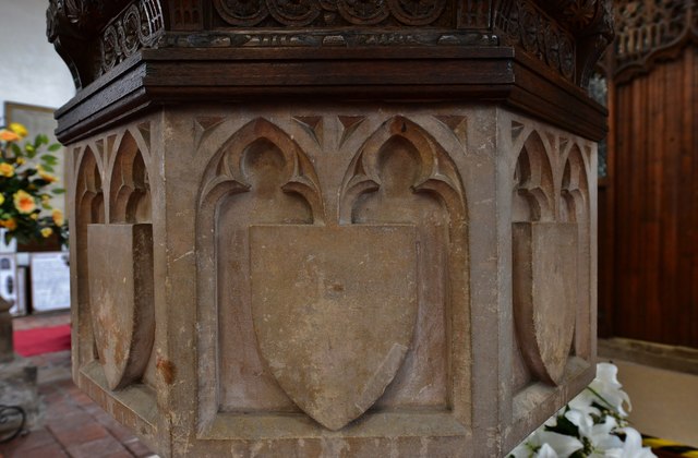
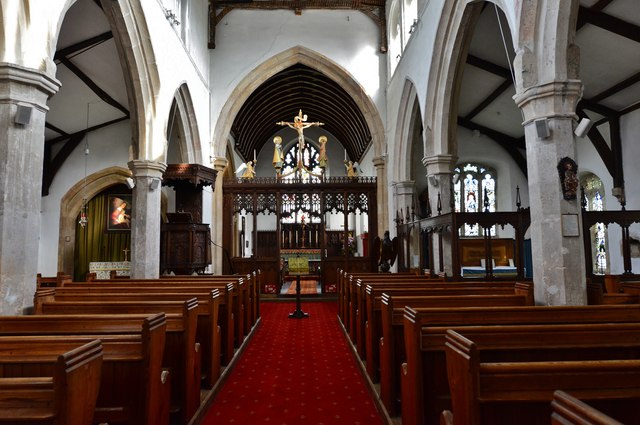
Burgh Common itself is a peaceful and close-knit community, with a population of around 1,500 residents. It has a charming village center, with a few local shops, pubs, and a community hall. The village is proud of its rich history, and there are several historic buildings and landmarks, including St. Peter and St. Paul's Church, which dates back to the 12th century.

The village is well-connected to nearby towns and cities, with good road links and regular bus services. Skegness, with its popular seaside attractions, is just a short drive away, providing residents with access to a range of amenities and entertainment options.

Overall, Burgh Common is a beautiful and tranquil village, offering a perfect blend of rural charm and natural beauty. It is a sought-after destination for those seeking a peaceful retreat or a base for exploring the surrounding countryside.

If you have any feedback on the listing, please let us know in the comments section below.
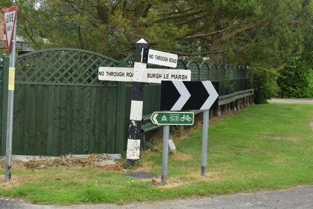
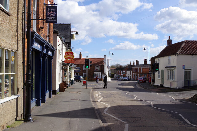
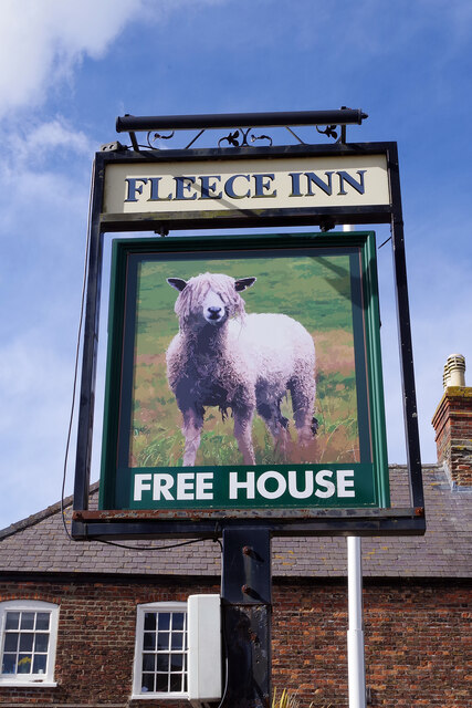
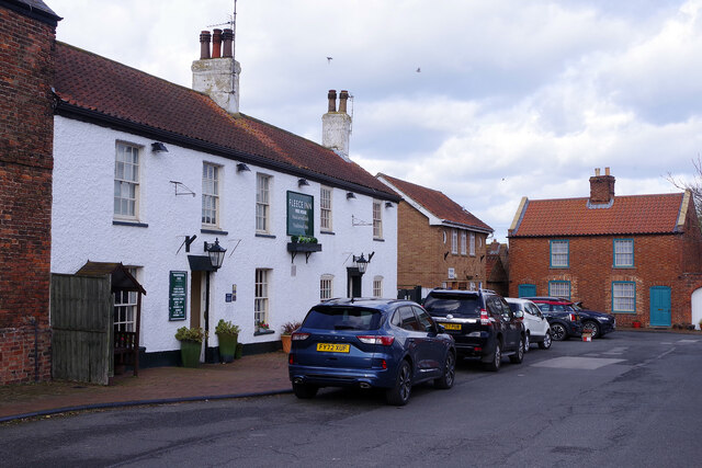
Burgh Common Images

Images are sourced within 2km of 53.168557/0.25087486 or Grid Reference TF5065. Thanks to Geograph Open Source API. All images are credited.

Direction Sign – Signpost on Ingoldmells Lane in Burgh le Marsh Located on the north side of the junction of Ingoldmells Road and Common Lane in Burgh le Marsh parish. 3 arms and no finial. Originally only Common Lane was a No Through Road, but with the A158 bypass cutting Ingoldmells Road into two, 2 out of 3 are NTR!.

Milestone Society National ID: LI_TF5065
Direction Sign – Signpost on Ingoldmells Lane in Burgh le Marsh
Located on the north side of the junction of Ingoldmells Road and Common Lane in Burgh le Marsh parish. 3 arms and no finial. Originally only Common Lane was a No Through Road, but with the A158 bypass cutting Ingoldmells Road into two, 2 out of 3 are NTR!. Milestone Society National ID: LI_TF5065
High Street, Burgh le Marsh Even on a weekday lunchtime, Burgh le Marsh has a sleepy feel; this was once a stretch of the A158 until it was by-passed in 2007. In this view there is hardly any traffic to be seen.
High Street, Burgh le Marsh
Even on a weekday lunchtime, Burgh le Marsh has a sleepy feel; this was once a stretch of the A158 until it was by-passed in 2007. In this view there is hardly any traffic to be seen.
Sign for the Fleece Inn, Burgh le Marsh The artist has captured a rather splendid beast to stare out of the sign for this Market Place pub - although it would be surprising if it could see anything. The sign is actually beside the road, no doubt to catch passing trade, rather than outside the pub.
Sign for the Fleece Inn, Burgh le Marsh
The artist has captured a rather splendid beast to stare out of the sign for this Market Place pub - although it would be surprising if it could see anything. The sign is actually beside the road, no doubt to catch passing trade, rather than outside the pub.
Market Place, Burgh le Marsh The Fleece Inn is on the west side of Burgh le Marsh's small market place. The building, originally two houses, is grade II listed.
Market Place, Burgh le Marsh
The Fleece Inn is on the west side of Burgh le Marsh's small market place. The building, originally two houses, is grade II listed.
The Bell Hotel, Burgh le Marsh The Bell Hotel is operated by Bateman's whose brewery is at Wainfleet just a few miles away - their bright red house colour adorns many pubs hereabouts. As well as the usual pub facilities, the Bell offers nine en-suite bedrooms.
The Bell Hotel, Burgh le Marsh
The Bell Hotel is operated by Bateman's whose brewery is at Wainfleet just a few miles away - their bright red house colour adorns many pubs hereabouts. As well as the usual pub facilities, the Bell offers nine en-suite bedrooms.
SS Peter & Paul church, Burgh le Marsh Mostly Perpendicular with a fine west tower.
SS Peter & Paul church, Burgh le Marsh
Mostly Perpendicular with a fine west tower.
Orby: aerial 2022 (1)
Orby: aerial 2022 (2)
Burgh le Marsh and bypass: aerial 2015 Looking along the bypass and the A158 to the coast.
Burgh le Marsh and bypass: aerial 2015
Looking along the bypass and the A158 to the coast.
Burgh le Marsh: aerial 2015
Meeting of the ways: 3 footpaths converge north of Billgate Lane, Burgh le Marsh
Burgh le Marsh, St. Peter and St. Paul's Church: The nave roof
Burgh le Marsh, St. Peter and St. Paul's Church: The font with its Jacobean cover
Burgh le Marsh, St. Peter and St. Paul's Church: The Jacobean font  cover
Burgh le Marsh, St. Peter and St. Paul's Church: The Jacobean font cover
Burgh le Marsh, St. Peter and St. Paul's Church: The font (detail)
Burgh le Marsh, St. Peter and St. Paul's Church: The nave
Burgh le Marsh, St. Peter and St. Paul's Church: The Jacobean pulpit (1623) 1
Burgh le Marsh, St. Peter and St. Paul's Church: The Jacobean pulpit (1623) 2
Show me another place!

Burgh Common is located at Grid Ref: TF5065 (Lat: 53.168557, Lng: 0.25087486)

Administrative County: Lincolnshire

District: East Lindsey

Police Authority: Lincolnshire

What 3 Words

///bronzer.devotion.fools. Near Burgh le Marsh, Lincolnshire

Related Wikis

Burgh Bypass

Burgh Bypass is a bypass of the town of Burgh Le Marsh near Skegness. It was passed in 2005 and construction began in September 2006 after a lengthy campaign...

Dobson's Mill

Dobson's Mill was a working tower windmill for grinding wheat and corn. It stands in the High Street in the town of Burgh le Marsh, near Skegness in Lincolnshire...

Burgh le Marsh

Burgh le Marsh is a town and civil parish in the East Lindsey district of Lincolnshire, England. == Geography == The town is built on a low hill surrounded...

Orby

Orby is a village and civil parish in the East Lindsey district of Lincolnshire, England. It is situated approximately 9 miles (14 km) east from the town...

Skegness Stadium

Skegness Stadium is a short tarmac oval racing circuit used for stock car, banger racing and former greyhound racing and speedway stadium on Marsh Lane...

Burgh-le-Marsh railway station

Burgh-le-Marsh was a railway station on the East Lincolnshire Railway which served the town of Burgh le Marsh in Lincolnshire between 1848 and 1970. It...

Bratoft

Bratoft is a small hamlet in the East Lindsey district of Lincolnshire, England. It is situated approximately 5 miles (8 km) east from Spilsby, 2 miles...

Ashington End

Ashington End is a hamlet in the East Lindsey district of Lincolnshire, England. It is situated 3 miles (5 km) north-west from Skegness.

Nearby Amenities

Located within 500m of 53.168557,0.25087486
Burgh Common
Place: locality
Source: Bing
Lat/Long: 53.1663466/0.2510901
Home Farm
Place: farm
Source: Bing
Lat/Long: 53.1695756/0.2514105
Ivy Cottage Farm
Place: farm
Source: Bing
Lat/Long: 53.1688705/0.256163
Pear Tree Farm
Alt Name: Peartree Farm
Place: farm
Source: Bing
Lat/Long: 53.1695192/0.2579668
Bleak House
Place: isolated_dwelling
Source: Bing
Lat/Long: 53.1676269/0.2514762
The data included in this document is from www.openstreetmap.org. The data is made available under ODbL.

Have you been to Burgh Common?

Leave your review of Burgh Common below (or comments, questions and feedback).