Cranny Hill Field
Downs, Moorland in Norfolk King's Lynn and West Norfolk
England
Cranny Hill Field

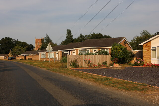
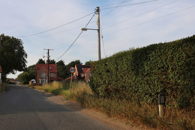
Cranny Hill Field, located in Norfolk, is a picturesque landscape encompassing downs, moorland, and rolling hills. This natural expanse stretches over a vast area, offering visitors a diverse range of flora, fauna, and stunning vistas. The field is a haven for nature enthusiasts, hikers, and birdwatchers, providing ample opportunities to explore and appreciate the region’s biodiversity.
The field boasts an impressive variety of plant species, with wildflowers, grasses, and heather blanketing the moorland. Visitors can witness the seasonal changes as the landscape transforms throughout the year. The downs showcase a mix of low-lying shrubs, gorse, and bracken, creating a unique and vibrant ecosystem.
Cranny Hill Field is also home to numerous bird species, making it a popular destination for birdwatching. The open grasslands attract birds such as skylarks, meadow pipits, and lapwings, while the moorland is frequented by stonechats and curlews. Binocular-wielding enthusiasts can spot these feathered creatures in their natural habitat, adding to the field’s allure.
Aside from its natural beauty, Cranny Hill Field offers a peaceful escape from the hustle and bustle of urban life. Visitors can embark on leisurely walks, take in the breathtaking panoramic views, or simply unwind in the tranquil surroundings. The field is a haven for wildlife, with occasional sightings of deer, hares, and foxes.
As a protected area, Cranny Hill Field showcases the importance of preserving and appreciating Norfolk’s natural heritage. Its diverse landscapes and abundant wildlife make it a must-visit for anyone seeking a serene and enchanting experience in the heart of nature.
If you have any feedback on the listing, please let us know in the comments section below.
Cranny Hill Field Images
Images are sourced within 2km of 52.71806/0.22541476 or Grid Reference TF5015. Thanks to Geograph Open Source API. All images are credited.


Cranny Hill Field is located at Grid Ref: TF5015 (Lat: 52.71806, Lng: 0.22541476)
Administrative County: Norfolk
District: King's Lynn and West Norfolk
Police Authority: Norfolk
What 3 Words
///scrapped.abode.contents. Near Terrington St John, Norfolk
Nearby Locations
Related Wikis
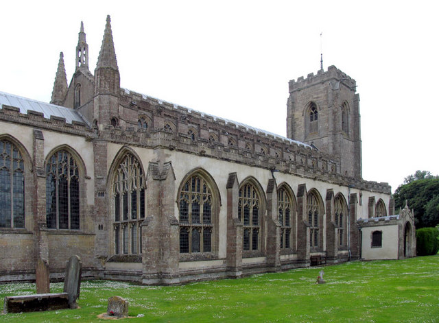
St Peter's Church, Walpole St Peter
St Peter's Church is an active Anglican parish church in Walpole St Peter, Norfolk, England. One of the largest churches in the county, it is known as...
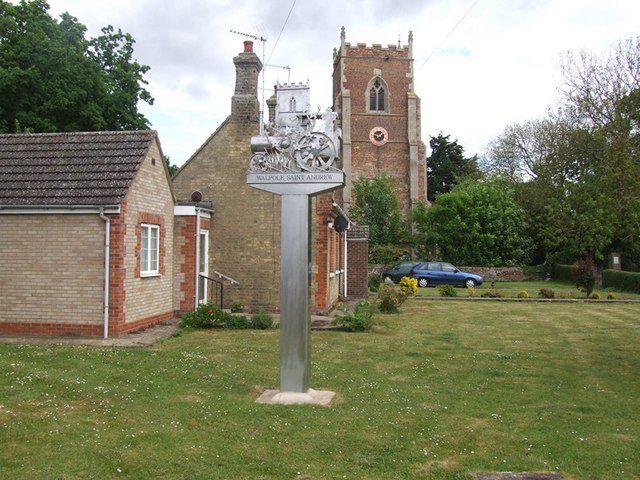
Walpole, Norfolk
Walpole is a civil parish in Norfolk, England. The parish includes the conjoined villages of Walpole St Andrew and Walpole St Peter. Walpole Highway and...

St Andrew's Church, Walpole
St Andrew's Church is a redundant Anglican church in the village of Walpole, Norfolk, England. It is recorded in the National Heritage List for England...

Walpole Highway
Walpole Highway is a village and civil parish in the English county of Norfolk. It covers an area of 10.48 km2 (4.05 sq mi) and had a population of 685...
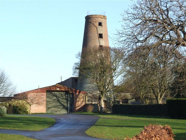
Ingleborough Tower Windmill, West Walton
Ingleborough Tower Windmill is one mile north of the village of West Walton in Norfolk, England. The windmill is in the yard of Hill House Farm alongside...

Marshland High School
Marshland High School is a mixed secondary school in the King's Lynn and West Norfolk District of Norfolk, England, and in the village of West Walton...
Terrington St John
Terrington St John is a village and civil parish in the English county of Norfolk. The village lies to the south of the route of the A47 between Peterborough...
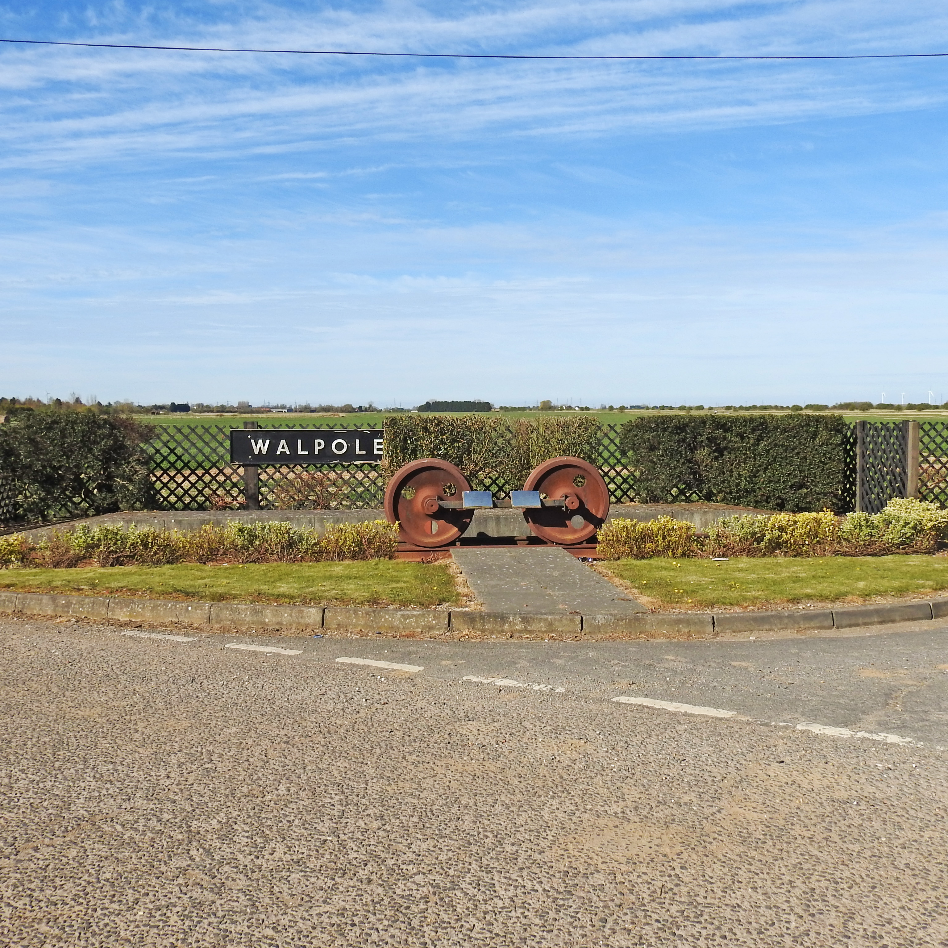
Walpole railway station (England)
Walpole railway station was a station in Norfolk. It is now disused. First opened in 1882, it was part of the Midland and Great Northern Joint Railway...
Nearby Amenities
Located within 500m of 52.71806,0.22541476Have you been to Cranny Hill Field?
Leave your review of Cranny Hill Field below (or comments, questions and feedback).