Heighington
Settlement in Lincolnshire North Kesteven
England
Heighington
Heighington is a small village located in Lincolnshire, England. Situated approximately 7 miles south-east of the city of Lincoln, it is nestled in a picturesque countryside setting. The village has a population of around 1,200 residents and covers an area of approximately 2 square miles.
Heighington is known for its rich history, with evidence of occupation dating back to the Roman era. The village has several historical landmarks, including the Grade I listed St. Thomas of Canterbury Church, which dates back to the 12th century. The church features stunning architectural details and is a popular attraction for visitors interested in medieval history.
The village boasts a close-knit community and offers a range of amenities for its residents. These include a primary school, village hall, post office, and a local pub. The surrounding countryside provides ample opportunities for outdoor activities such as walking, cycling, and horse riding.
Heighington is well-connected to nearby towns and cities, with regular bus services and easy access to major road networks. This makes it a desirable location for those seeking a quiet and peaceful village lifestyle while still having access to urban centers.
Overall, Heighington offers a charming and idyllic setting for residents and visitors alike. With its rich history, beautiful surroundings, and close community spirit, it is a village that encapsulates the essence of traditional English countryside living.
If you have any feedback on the listing, please let us know in the comments section below.
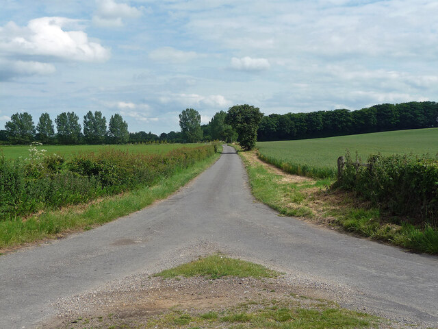
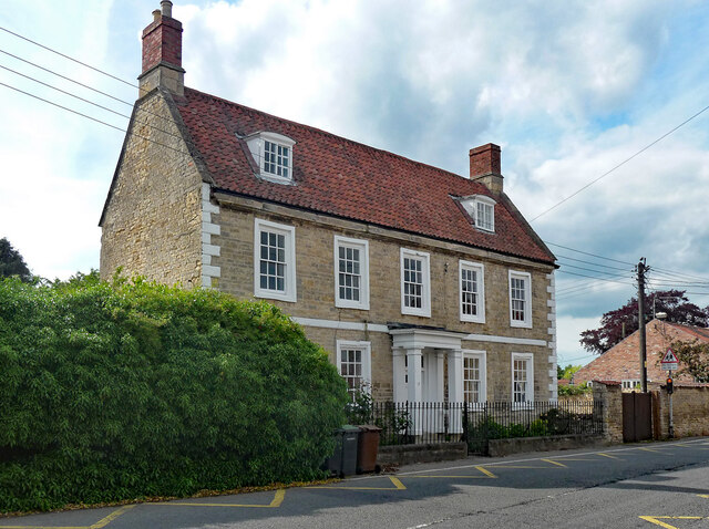
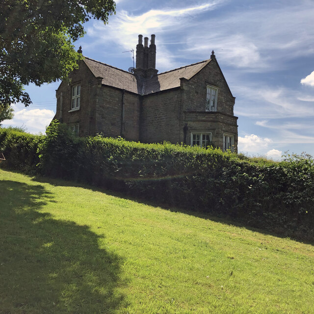
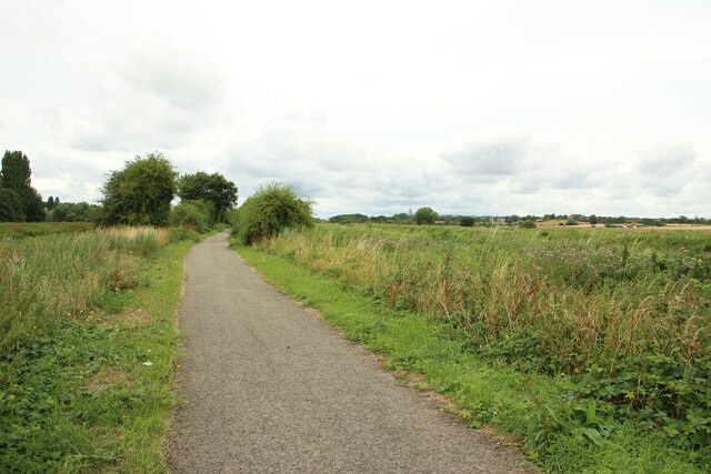
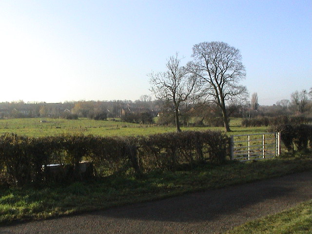
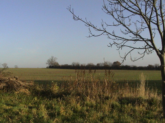
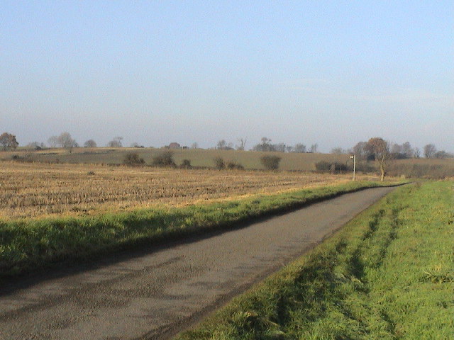
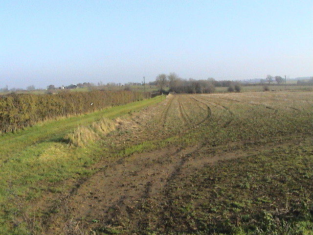
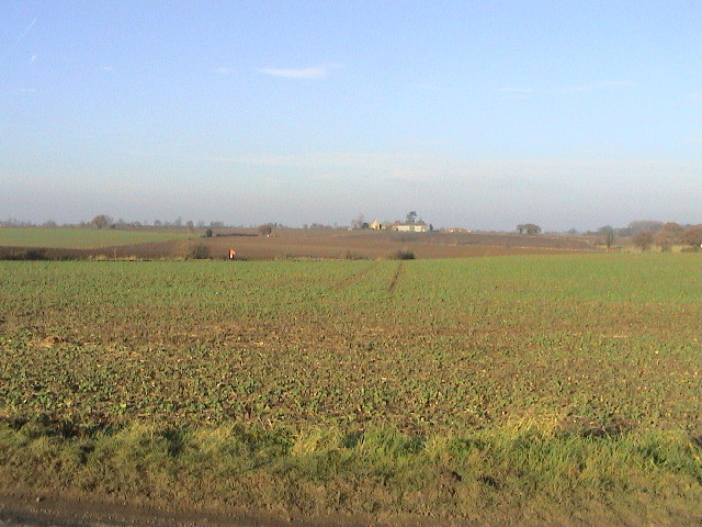
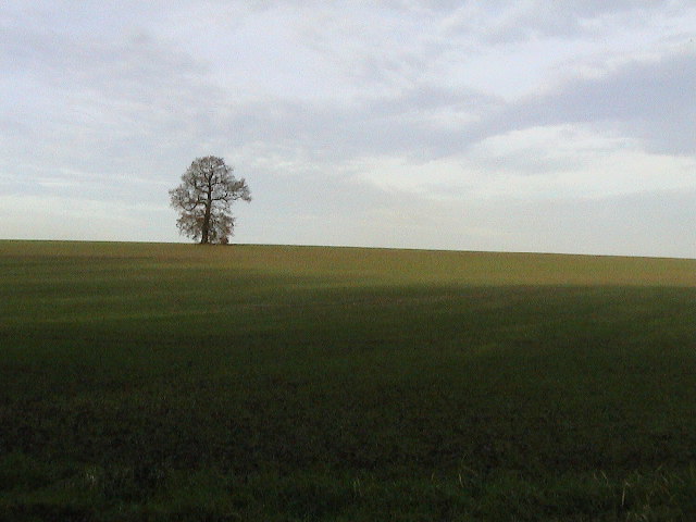
Heighington Images
Images are sourced within 2km of 53.212307/-0.45866 or Grid Reference TF0369. Thanks to Geograph Open Source API. All images are credited.


Heighington is located at Grid Ref: TF0369 (Lat: 53.212307, Lng: -0.45866)
Division: Parts of Kesteven
Administrative County: Lincolnshire
District: North Kesteven
Police Authority: Lincolnshire
What 3 Words
///navy.shuts.event. Near Heighington, Lincolnshire
Nearby Locations
Related Wikis

Heighington, Lincolnshire
Heighington ( HAY-ing-tən) is a village and civil parish in the North Kesteven district of Lincolnshire, England. It is situated about 4 miles (6 km) south...
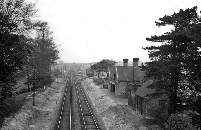
Branston and Heighington railway station
Branston and Heighington railway station was a station in the village of Heighington, Lincolnshire, on the line between Lincoln and Sleaford. == References ==

Branston Community Academy
Branston Community Academy, (formerly Branston School and Community College) is a secondary school for 11- to 18-year-old students on Station Road in Branston...

Washingborough
Washingborough is a village in the North Kesteven district in Lincolnshire, England. Located 3 miles (5 km) east of Lincoln and 18 miles (29 km) from Sleaford...
Related Videos

Walking in the snow
Snow fun.

FISKERTON: West Lindsey Parish #128 of 128
WEST LINDSEY PARISH #128: FISKERTON Hello folks. For the last couple of years, the Lincolnshire district of West Lindsey has ...
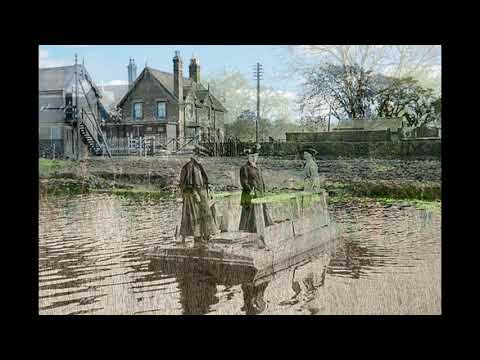
A Tale of Tragedy on the River
This time shift shows the River Witham at Washingborough, 3 miles East of Lincoln. The old photo shows some ladies using the ...

The Grange, Heighington
Fantastic 19th Century Family Residence in the heart of this traditional Lincolnshire village, 10 minutes from the City Centre.
Nearby Amenities
Located within 500m of 53.212307,-0.45866Have you been to Heighington?
Leave your review of Heighington below (or comments, questions and feedback).