Home Dams Fen
Downs, Moorland in Cambridgeshire East Cambridgeshire
England
Home Dams Fen
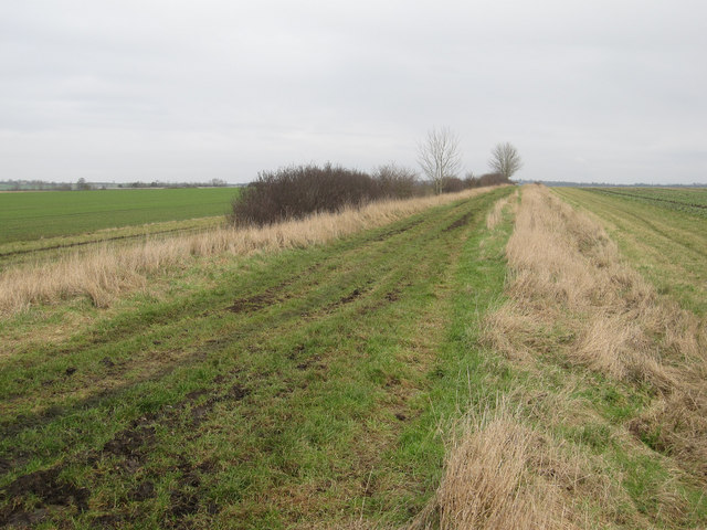
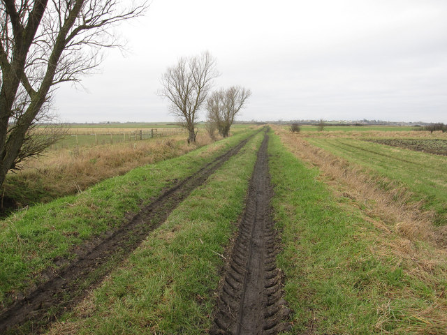
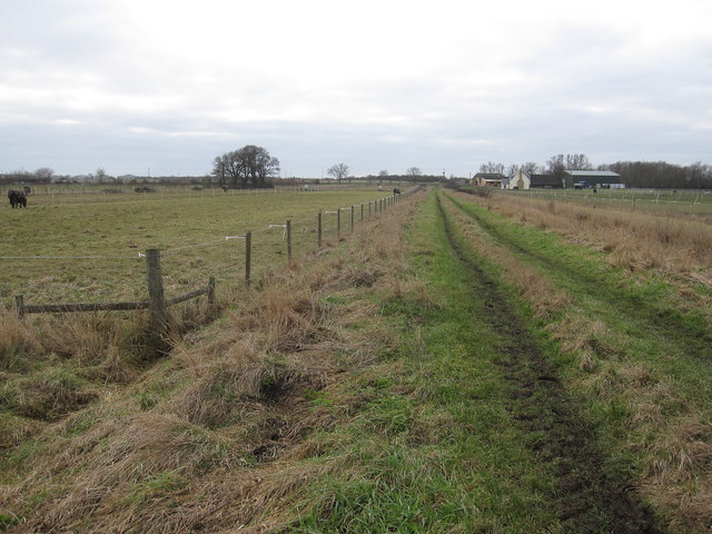
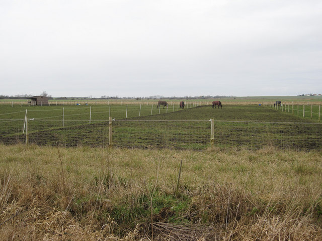
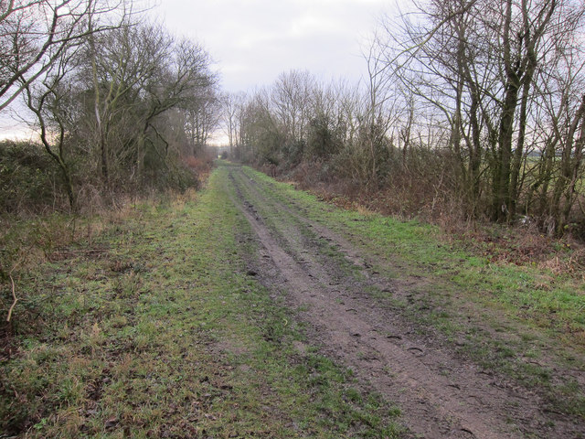
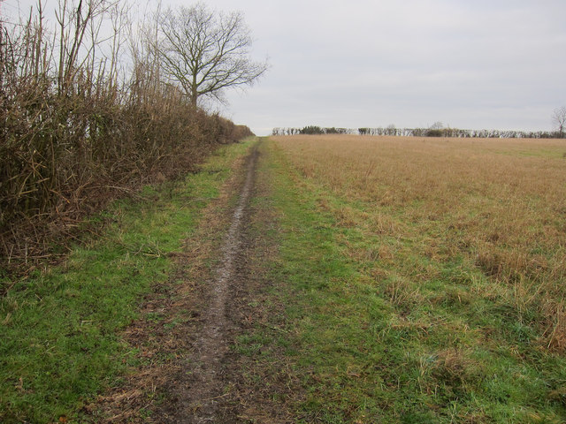
Home Dams Fen is a picturesque natural reserve located in the county of Cambridgeshire, England. Situated within the Downs and Moorland region, it covers an area of approximately 200 acres. The fen is characterized by its wetland ecosystem, consisting of a combination of marshes, reedbeds, and open water bodies.
The fen is known for its diverse range of flora and fauna, making it a popular spot for nature enthusiasts and birdwatchers. The wetland environment provides a habitat for various bird species, including the rare bittern, marsh harrier, and water rail. Additionally, Home Dams Fen is home to a variety of aquatic plants, such as water lilies and reed beds, which provide shelter and food for many species of insects and amphibians.
Visitors to Home Dams Fen can explore the reserve through a network of well-maintained footpaths and boardwalks, allowing them to observe the wildlife while minimizing environmental impact. Interpretive signage along the trails provides information on the different species and habitats found within the fen, enhancing the educational experience.
The fen is managed by a local conservation organization in partnership with the local community, ensuring the preservation and protection of its natural features. Regular monitoring and maintenance activities are carried out to maintain the balance of the delicate ecosystem and to prevent the encroachment of invasive species.
Overall, Home Dams Fen offers a peaceful and tranquil setting for nature lovers to immerse themselves in the beauty of Cambridgeshire's wetland landscape while appreciating the importance of conservation and ecological diversity.
If you have any feedback on the listing, please let us know in the comments section below.
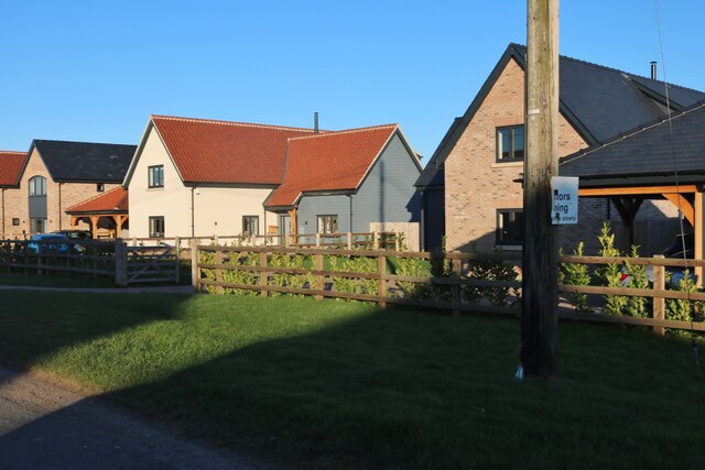
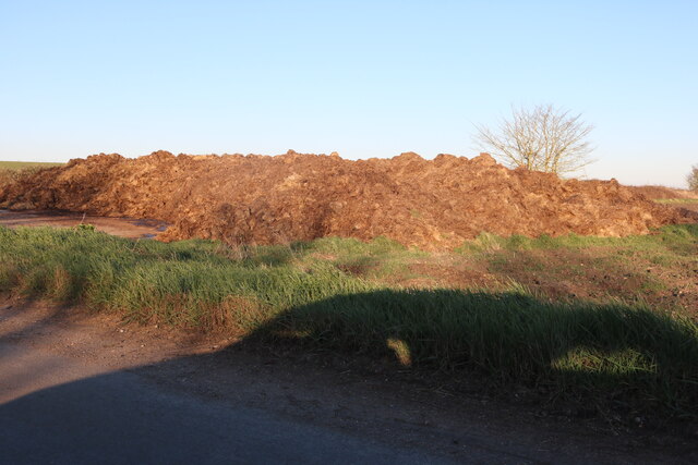
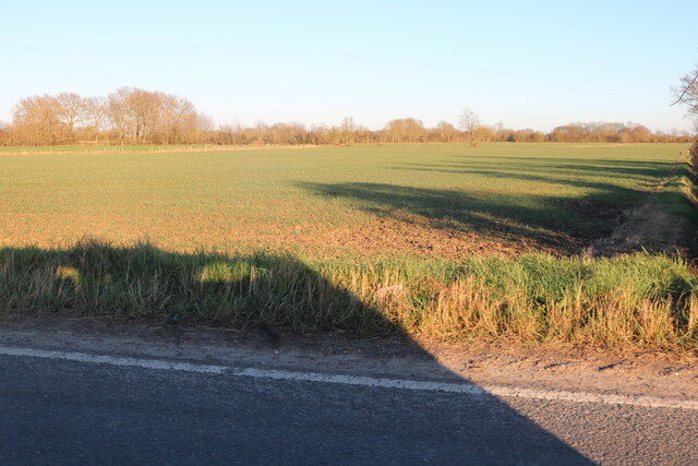
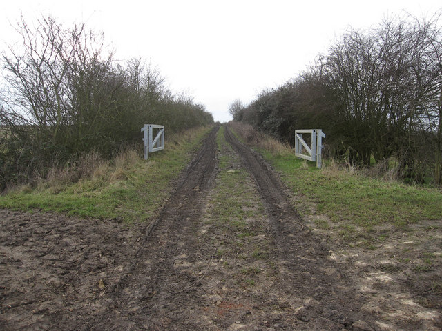
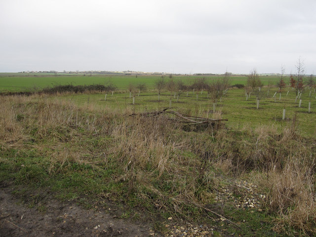
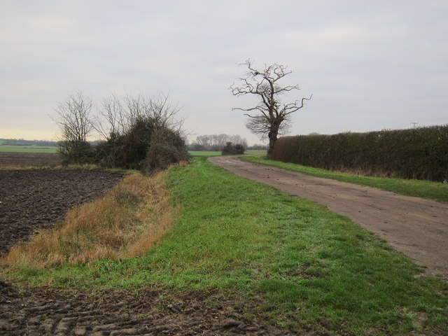
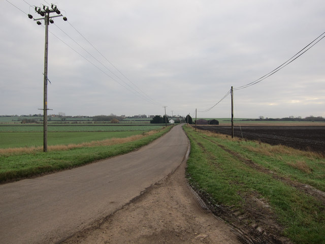
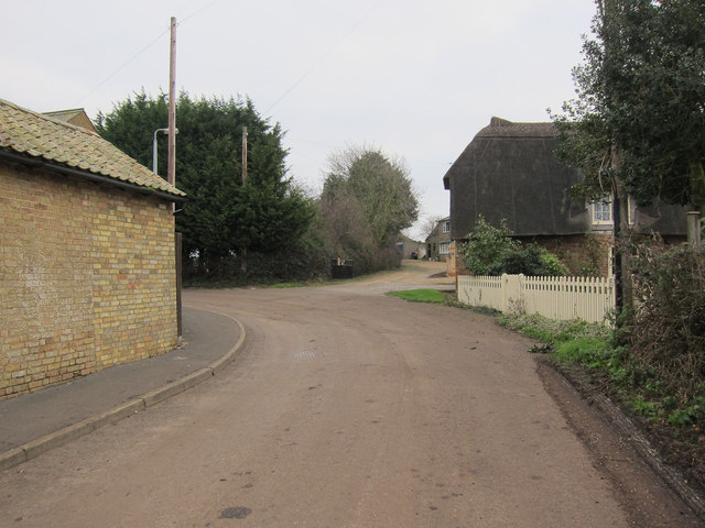
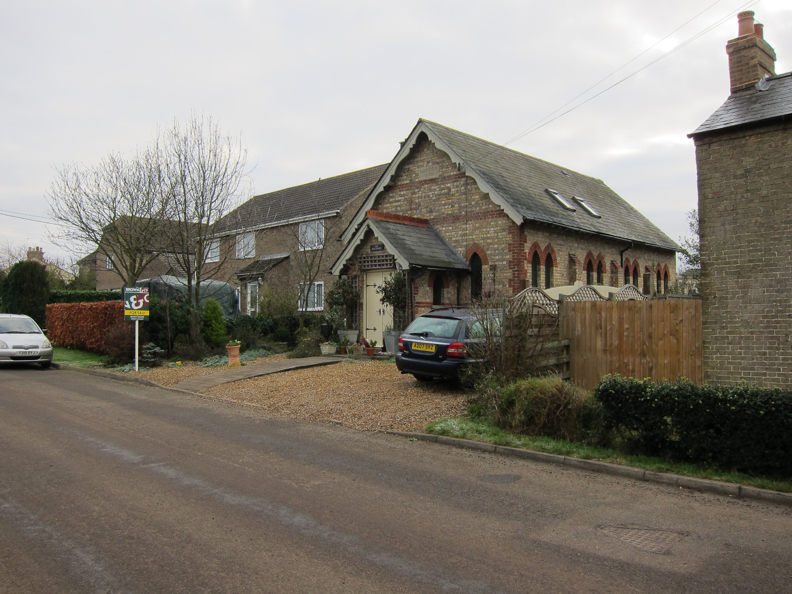
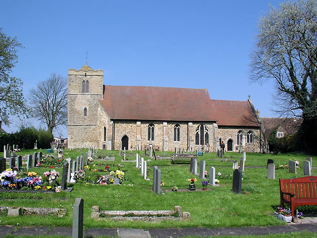
Home Dams Fen Images
Images are sourced within 2km of 52.411004/0.18842568 or Grid Reference TL4881. Thanks to Geograph Open Source API. All images are credited.


Home Dams Fen is located at Grid Ref: TL4881 (Lat: 52.411004, Lng: 0.18842568)
Division: Isle of Ely
Administrative County: Cambridgeshire
District: East Cambridgeshire
Police Authority: Cambridgeshire
What 3 Words
///assorted.redouble.enhances. Near Witchford, Cambridgeshire
Nearby Locations
Related Wikis

Coveney, Cambridgeshire
Coveney is a village northwest of Ely in Cambridgeshire. Coveney is on a small Fen 'island' rising to 43 feet (13 m) above sea level, some 3.5 miles...
Wardy Hill
Wardy Hill is a hamlet in Coveney civil parish, part of East Cambridgeshire, England. It is also the site of a former Iron Age Hill fort == References ==

Ely Rural District
Ely Rural District was a rural district in England from 1894 to 1974. It was named after Ely, but did not include the city itself, instead covering the...

Witchford Village College
Witchford Village College (sometimes abbreviated to W.V.C.) is a secondary school in the village of Witchford, near Ely, Cambridgeshire, England. Before...
Witchford
Witchford is a village and civil parish about 2.5 miles (4 km) west of Ely, Cambridgeshire, England. The 2011 Census recorded the parish's population...

Witcham
Witcham is a small village near Ely in Cambridgeshire, England. The village is surrounded by fenland farms and has a village hall and a 13th-century church...
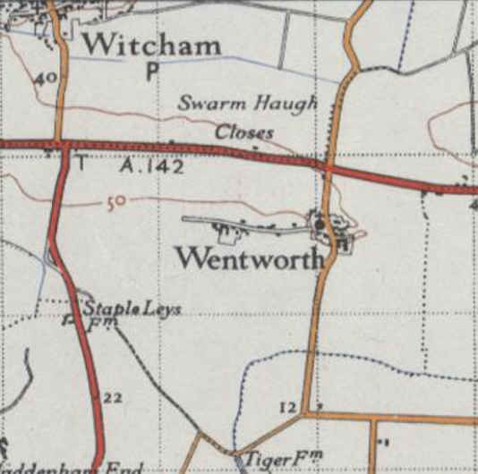
Wentworth, Cambridgeshire
Wentworth is a small village near Ely in Cambridgeshire, England. It is in the Isle of Ely, adjacent to Grunty Fen, Wentworth lies south of the A142...

Little Downham Local Nature Reserve
Little Downham Local Nature Reserve is a 6.6 hectare Local Nature Reserve in Little Downham in Cambridgeshire. It is owned by Little Downham Parish Council...
Nearby Amenities
Located within 500m of 52.411004,0.18842568Have you been to Home Dams Fen?
Leave your review of Home Dams Fen below (or comments, questions and feedback).