Buxted Park

Downs, Moorland in Sussex Wealden

England

Buxted Park

Sign post for Nans Tuck Lane on Nans Tuck Lane On the southern edge of Buxted.
Sign post for Nans Tuck Lane on Nans Tuck Lane Credit: Dave Spicer

Buxted Park is a stunning country estate located in the heart of Sussex, England. Situated amidst the picturesque Sussex Downs and surrounded by lush moorland, this historic property offers a tranquil and idyllic retreat for visitors.

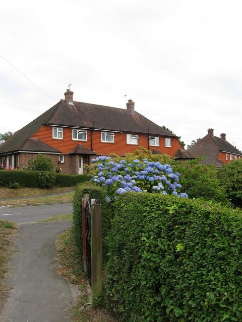
The estate spans over 312 acres of beautifully landscaped gardens, woodlands, and rolling hills. The centerpiece of Buxted Park is the magnificent country house, a Grade II listed Georgian mansion that dates back to the 18th century. The house boasts elegant architecture, grand reception rooms, and luxurious bedrooms, providing guests with a truly regal experience.

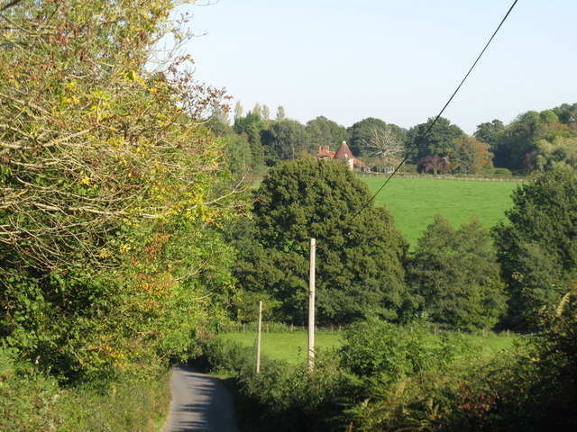
The surrounding grounds are a haven for nature lovers, offering breathtaking views of the Sussex countryside. The estate features a variety of walking trails, allowing visitors to explore the diverse flora and fauna that thrive in this rural setting. The moorland, in particular, provides a unique habitat for wildlife, including rare bird species and wildflowers.

Buxted Park also offers a range of leisure facilities for guests to enjoy. These include a fully equipped gymnasium, an indoor swimming pool, and a tennis court. For those seeking relaxation and pampering, the estate has an on-site spa that offers a range of rejuvenating treatments.

The estate is also renowned for its culinary offerings. The elegant restaurant at Buxted Park serves a seasonal menu crafted from locally sourced ingredients, providing guests with a taste of Sussex's finest produce.

Overall, Buxted Park is a true gem in Sussex, offering a perfect blend of natural beauty, historic charm, and luxurious amenities. Whether for a weekend getaway or a special occasion, this country estate provides a memorable experience for all who visit.

If you have any feedback on the listing, please let us know in the comments section below.
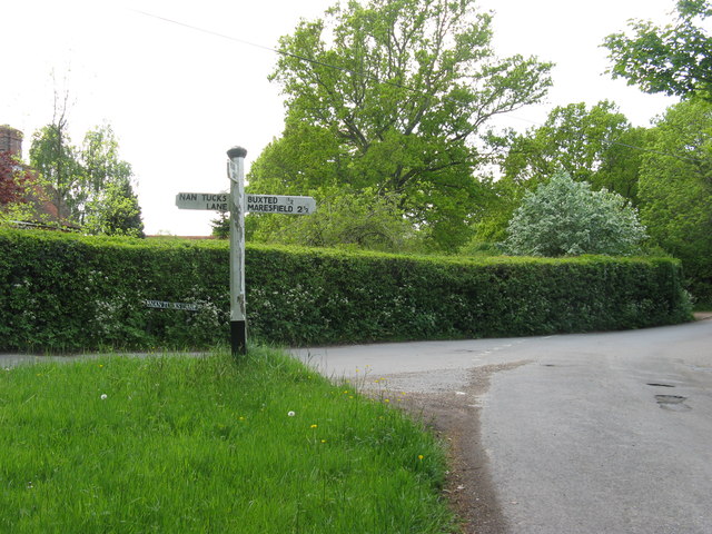
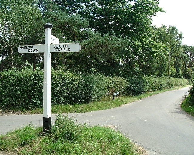
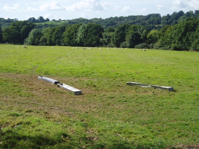
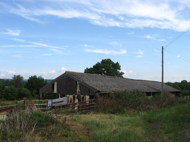
Buxted Park Images

Images are sourced within 2km of 50.985176/0.11639927 or Grid Reference TQ4822. Thanks to Geograph Open Source API. All images are credited.

Sign post for Nans Tuck Lane on Nans Tuck Lane On the southern edge of Buxted.
Sign post for Nans Tuck Lane on Nans Tuck Lane
On the southern edge of Buxted.
Streele Lane direction Near a cluster of homes known as Etchingwood and looking south down Streele Lane
Streele Lane direction
Near a cluster of homes known as Etchingwood and looking south down Streele Lane
Streele Wood farm Looking south west
Streele Wood farm
Looking south west
Oast House Twin round kiln oast house, missing cowls.
Oast House
Twin round kiln oast house, missing cowls.
The Oast House, Framfield Road, Buxted, East Sussex Single round kiln oast house.
The Oast House, Framfield Road, Buxted, East Sussex
Single round kiln oast house.
Barn near St Margarets Cottage Rather dilapidated corrugated iron structure next to the footpath from Church Road to the railway bridge.
Barn near St Margarets Cottage
Rather dilapidated corrugated iron structure next to the footpath from Church Road to the railway bridge.
Nan Tucks Lane Named after an old woman who was chased down this lane by the irate villagers of Buxted who believed she was a witch. What happened after is subject to dispute, some stories have her escaping others that she was caught and hanged in nearby Tucks Wood. The lane is descending into Solomon's Wood where it crosses a small stream.
Nan Tucks Lane
Named after an old woman who was chased down this lane by the irate villagers of Buxted who believed she was a witch. What happened after is subject to dispute, some stories have her escaping others that she was caught and hanged in nearby Tucks Wood. The lane is descending into Solomon's Wood where it crosses a small stream.
Stream, Solomon's Wood The spring is not too far away for a small gill that is a tributary of Tickerage Stream. It is also going under Nan Tucks Lane.
Stream, Solomon's Wood
The spring is not too far away for a small gill that is a tributary of Tickerage Stream. It is also going under Nan Tucks Lane.
Nan Tucks Lane Heading through Solomon's Wood. Named after an old woman who was chased down this lane by the irate villagers of Buxted who believed she was a witch. What happened after is subject to dispute, some stories have her escaping others that she was caught and hanged in nearby Tucks Wood
Nan Tucks Lane
Heading through Solomon's Wood. Named after an old woman who was chased down this lane by the irate villagers of Buxted who believed she was a witch. What happened after is subject to dispute, some stories have her escaping others that she was caught and hanged in nearby Tucks Wood
Potter's Green Small hamlet to the south of Buxted grouped around a crossroads of lanes.
Potter's Green
Small hamlet to the south of Buxted grouped around a crossroads of lanes.
Footpath, Britts Farm Estate Linking Britts Farm Road with High Street. The path is a continuation of one from Potter's Green.
Footpath, Britts Farm Estate
Linking Britts Farm Road with High Street. The path is a continuation of one from Potter's Green.
Britts Farm Road Housing estate built in the 1970s off High Street.
Britts Farm Road
Housing estate built in the 1970s off High Street.
Upper Totease House On the High Street and dating from Georgian times. When built the village of Buxted was still grouped around St Margarets Church in what is now Buxted Park. However, the residents were forced out in the early 19th century when the then owner Lord Liverpool decided he wanted to extend the park and have a little more isolation. Consequently, the village moved to its current spot on the A272 and was anchored firmly by the arrival of the railway in the 1850s. To the right of the gate the original mounting block for the owners to get on their horses is still in situ.
Upper Totease House
On the High Street and dating from Georgian times. When built the village of Buxted was still grouped around St Margarets Church in what is now Buxted Park. However, the residents were forced out in the early 19th century when the then owner Lord Liverpool decided he wanted to extend the park and have a little more isolation. Consequently, the village moved to its current spot on the A272 and was anchored firmly by the arrival of the railway in the 1850s. To the right of the gate the original mounting block for the owners to get on their horses is still in situ.
Gordon Road The eastern part of the road was added in the 1950s.
Gordon Road
The eastern part of the road was added in the 1950s.
Footpath to Buxted Park The footpath from Framfield Road hugs the southern edge of the field.
Footpath to Buxted Park
The footpath from Framfield Road hugs the southern edge of the field.
Road junction, Buxted Signpost and road junction, Framfield Road.
Road junction, Buxted
Signpost and road junction, Framfield Road.
Framfield Road, Buxted Wild daffodils in flower on the bank beside Framfield Road.
Framfield Road, Buxted
Wild daffodils in flower on the bank beside Framfield Road.
View across valley to Great Streele oast houses
Show me another place!

Buxted Park is located at Grid Ref: TQ4822 (Lat: 50.985176, Lng: 0.11639927)

Administrative County: East Sussex

District: Wealden

Police Authority: Sussex

What 3 Words

///freely.vitals.remarks. Near Buxted, East Sussex

Nearby Locations

Views Wood Buxted Park

Related Wikis

St Margaret the Queen, Buxted

The Church of St Margaret the Queen is a grade I listed building in Buxted Park, East Sussex, England. It is dedicated to Saint Margaret of Scotland, an...

Cooper's Green

Cooper's Green is a village in the civil parish of Buxted in the Wealden district of East Sussex, England. Its nearest town is Uckfield, which lies approximately...
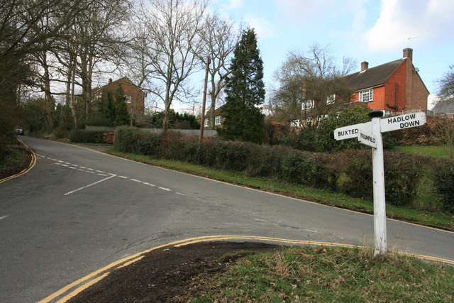
Buxted

Buxted is a village and civil parish in the Wealden district of East Sussex in England. The parish is situated on the Weald, north of Uckfield; the settlements...

Buxted railway station

Buxted railway station is on the Uckfield branch of the Oxted Line in England, serving the village of Buxted, East Sussex. It is 43 miles 68 chains (70...

Uckfield Baptist Church

Uckfield Baptist Church is a Baptist congregation based in the town of Uckfield in East Sussex, England. Although services now take place in a school...

Uckfield College

Uckfield College (formerly Uckfield Community Technology College) is a community college situated in Uckfield, UK. It has approximately 1,720 students...

Copping Hall

Copping Hall is a Grade II* listed house in Uckfield, East Sussex, England. It is located at 1 Pudding Cake Lane, Uckfield, East Sussex TN22 1BT. Built...

Five Ash Down

Five Ash Down is a small village within the civil parish of Buxted, in the Wealden district of East Sussex, England. Its nearest town is Uckfield, which...

Nearby Amenities

Located within 500m of 50.985176,0.11639927
Buxted Park
Power: substation
Ref: 444258
Lat/Long: 50.9855769/0.1131553
Footpath
Description: Buxted Park/Weald Way marker
Information: guidepost
Operator: The Woodland Trust
Tourism: information
Lat/Long: 50.9818615/0.1116911
Designation: public_footpath
Lat/Long: 50.9872346/0.1112625
Barrier: stile
Stile: squeezer
Lat/Long: 50.9840621/0.1102292
Life Ring
Emergency: life_ring
Lat/Long: 50.9838179/0.1182701
Footpath
Information: guidepost
Operator: East Sussex County Council
Tourism: information
Lat/Long: 50.9851958/0.1133394
WW Footpath
Information: guidepost
Operator: East Sussex County Council
Tourism: information
Lat/Long: 50.9823787/0.1163528
Footpath
Information: guidepost
Operator: East Sussex County Council
Tourism: information
Lat/Long: 50.9838386/0.118279
WW
Information: guidepost
Tourism: information
Lat/Long: 50.9828159/0.1125033
WW
Information: guidepost
Tourism: information
Lat/Long: 50.9821579/0.1127776
Footpath
Information: guidepost
Operator: East Sussex County Council
Tourism: information
Lat/Long: 50.9821138/0.1191756
WW
Information: guidepost
Tourism: information
Lat/Long: 50.9822468/0.1140482
Footpath
Information: guidepost
Operator: East Sussex County Council
Tourism: information
Lat/Long: 50.98322/0.1194896
Footpath
Information: guidepost
Operator: East Sussex County Council
Tourism: information
Lat/Long: 50.9836493/0.1179881
Turning Circle
Lat/Long: 50.9858524/0.1141386
The data included in this document is from www.openstreetmap.org. The data is made available under ODbL.

Have you been to Buxted Park?

Leave your review of Buxted Park below (or comments, questions and feedback).