Block Moors
Downs, Moorland in Cambridgeshire East Cambridgeshire
England
Block Moors
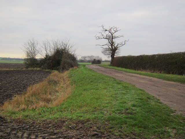
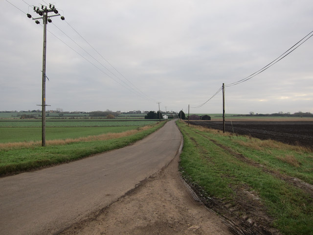
Block Moors is a picturesque area located in Cambridgeshire, England. Situated on the eastern edge of the county, it is a part of the larger landscape known as the Fens. Covering an expansive area, Block Moors is characterized by its flat and marshy terrain, which is typical of lowland moorlands.
The moorland is primarily composed of peat, which has accumulated over thousands of years, resulting in the formation of unique and diverse ecosystems. The area is home to a variety of flora and fauna, including rare and protected species. Native plants such as sphagnum moss, cotton grass, and heather thrive in the damp and acidic conditions.
Block Moors is also known for its rich birdlife, attracting birdwatchers and nature enthusiasts from near and far. The wetlands provide a habitat for numerous bird species, including wading birds, waterfowl, and birds of prey. Visitors may catch a glimpse of species such as bitterns, marsh harriers, and great crested grebes.
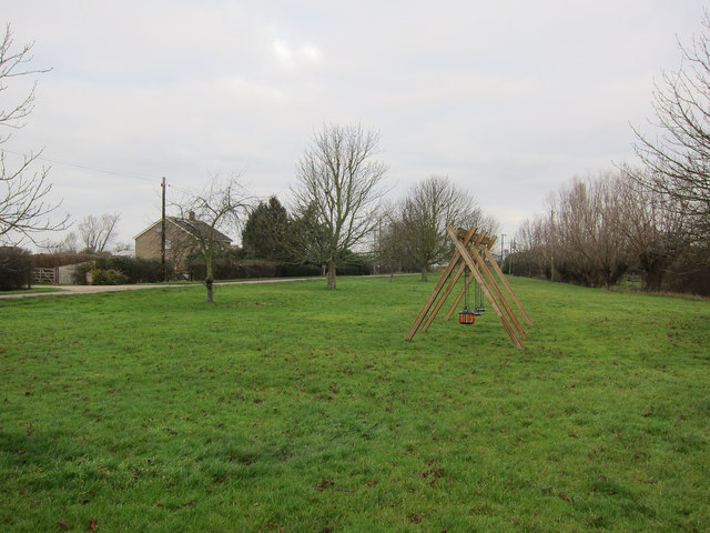
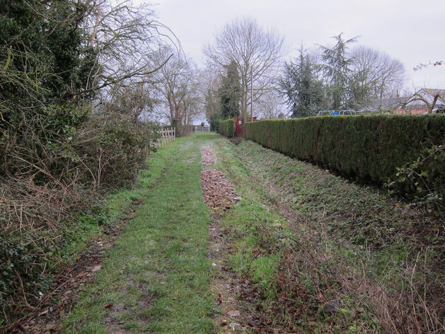
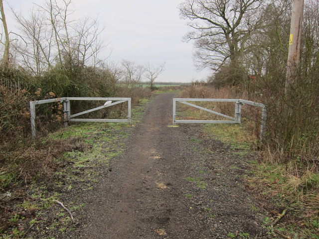
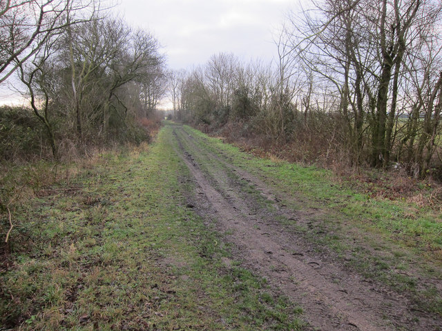
The area is crisscrossed by a network of footpaths and trails, allowing visitors to explore the natural beauty of the moorland. It offers a tranquil escape from the bustling city life and provides opportunities for hiking, cycling, and nature photography.
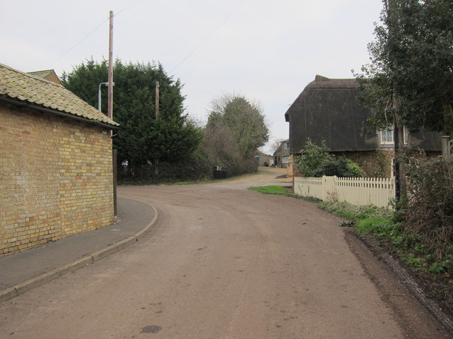
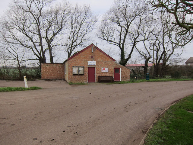
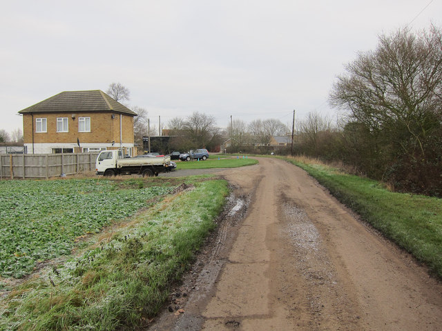
Despite its remote location, Block Moors is easily accessible from nearby towns and villages. Its unique landscapes, diverse wildlife, and serene atmosphere make it a popular destination for those seeking a peaceful retreat in the heart of nature.
If you have any feedback on the listing, please let us know in the comments section below.
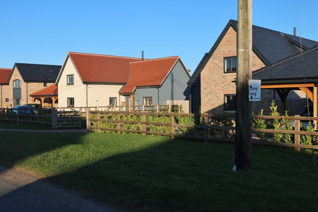
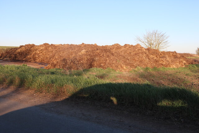
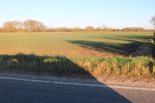
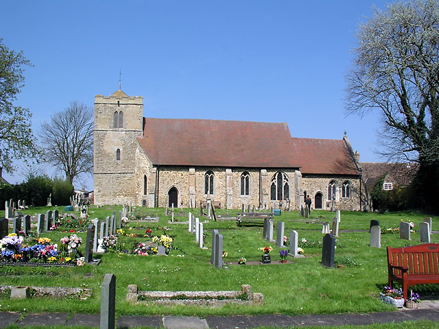
Block Moors Images
Images are sourced within 2km of 52.416293/0.17420257 or Grid Reference TL4782. Thanks to Geograph Open Source API. All images are credited.


Block Moors is located at Grid Ref: TL4782 (Lat: 52.416293, Lng: 0.17420257)
Division: Isle of Ely
Administrative County: Cambridgeshire
District: East Cambridgeshire
Police Authority: Cambridgeshire
What 3 Words
///wheels.lighter.guideline. Near Witchford, Cambridgeshire
Nearby Locations
Related Wikis
Wardy Hill
Wardy Hill is a hamlet in Coveney civil parish, part of East Cambridgeshire, England. It is also the site of a former Iron Age Hill fort == References ==

Ely Rural District
Ely Rural District was a rural district in England from 1894 to 1974. It was named after Ely, but did not include the city itself, instead covering the...

Coveney, Cambridgeshire
Coveney is a village northwest of Ely in Cambridgeshire. Coveney is on a small Fen 'island' rising to 43 feet (13 m) above sea level, some 3.5 miles...

Witcham
Witcham is a small village near Ely in Cambridgeshire, England. The village is surrounded by fenland farms and has a village hall and a 13th-century church...
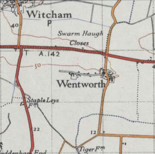
Wentworth, Cambridgeshire
Wentworth is a small village near Ely in Cambridgeshire, England. It is in the Isle of Ely, adjacent to Grunty Fen, Wentworth lies south of the A142...

Elean power station
Elean power station is a straw-fired biomass power station in Cambridgeshire, England. At a capacity of 38 MW, it was the largest straw-fired power plant...

Witchford Village College
Witchford Village College (sometimes abbreviated to W.V.C.) is a secondary school in the village of Witchford, near Ely, Cambridgeshire, England. Before...
Witchford
Witchford is a village and civil parish about 2.5 miles (4 km) west of Ely, Cambridgeshire, England. The 2011 Census recorded the parish's population...
Nearby Amenities
Located within 500m of 52.416293,0.17420257Have you been to Block Moors?
Leave your review of Block Moors below (or comments, questions and feedback).