Church End Cow Pastures
Downs, Moorland in Cambridgeshire South Cambridgeshire
England
Church End Cow Pastures

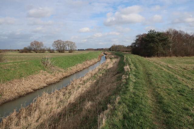
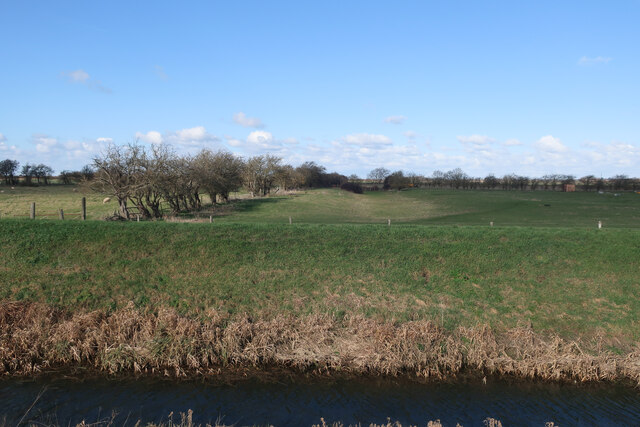
Church End Cow Pastures is a picturesque area located in Cambridgeshire, England. Nestled amidst the rolling hills and serene countryside, this idyllic landscape encompasses downs and moorland. Spanning an area of approximately 200 acres, the pastures are known for their lush green fields and diverse flora and fauna.
The downs in Church End Cow Pastures are characterized by their sloping terrain and open grasslands. These downs provide ample grazing space for the local cattle population, creating a tranquil pastoral scene. The undulating hills offer breathtaking panoramic views of the surrounding countryside, making it a popular spot for nature enthusiasts and hikers.
Adjacent to the downs, the moorland presents a different landscape altogether. Here, one can witness the unique beauty of heather-covered expanses, interspersed with patches of gorse and ferns. The moorland provides a habitat for various species of birds, including skylarks and meadow pipits, which can be spotted darting through the skies.
Church End Cow Pastures is not only a haven for wildlife and nature lovers but also plays a crucial role in the local agricultural community. The rich and fertile soil is ideal for grazing livestock and cultivating crops. The pastoral tradition of the area is evident in the presence of traditional farm buildings and the farming practices employed by the local community.
Overall, Church End Cow Pastures is a captivating landscape that seamlessly blends downs and moorland, showcasing the beauty of Cambridgeshire's natural environment and agricultural heritage.
If you have any feedback on the listing, please let us know in the comments section below.
Church End Cow Pastures Images
Images are sourced within 2km of 52.303363/0.15421697 or Grid Reference TL4669. Thanks to Geograph Open Source API. All images are credited.


Church End Cow Pastures is located at Grid Ref: TL4669 (Lat: 52.303363, Lng: 0.15421697)
Administrative County: Cambridgeshire
District: South Cambridgeshire
Police Authority: Cambridgeshire
What 3 Words
///flaking.drooling.switch. Near Cottenham, Cambridgeshire
Nearby Locations
Related Wikis

Fen Edge
Fen Edge is an area and collection of villages in the South Cambridgeshire district of Cambridgeshire, England. The five villages in Fen Edge are Cottenham...
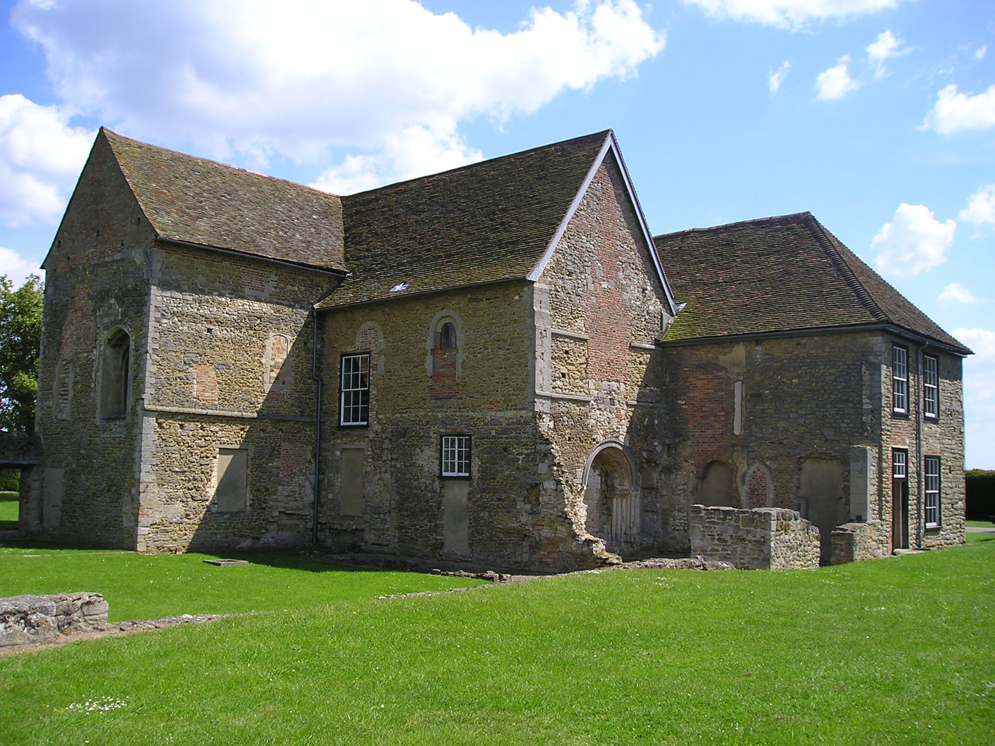
Denny Abbey
Denny Abbey is a former abbey near Waterbeach, about 6 miles (10 km) north of Cambridge in Cambridgeshire, England. It is now the Farmland Museum and Denny...

Cottenham
Cottenham is a village in Cambridgeshire, England. Cottenham is one of the larger villages surrounding the city of Cambridge, located around five miles...

Chittering, Cambridgeshire
Chittering is a hamlet about 8 miles (13 km) north of Cambridge in Cambridgeshire, England. For administrative purposes it is part of the parish of Waterbeach...
Cottenham Village College
Cottenham Village College is an academy school located in Cottenham, Cambridgeshire, England. The school offers secondary education to pupils from the...
Huntingdonshire Football Association
The Huntingdonshire Football Association, also simply known as the Huntingdonshire FA, is the governing body of football in Huntingdonshire. == References... ==
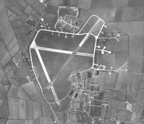
RAF Waterbeach
Royal Air Force Waterbeach or more simply RAF Waterbeach is a former Royal Air Force station located in Waterbeach, Cambridgeshire which is about 5.5 miles...

Waterbeach Barracks
Waterbeach Barracks is a former military installation in Waterbeach, Cambridgeshire. The site was an RAF Station, RAF Waterbeach and then used by the Royal...
Nearby Amenities
Located within 500m of 52.303363,0.15421697Have you been to Church End Cow Pastures?
Leave your review of Church End Cow Pastures below (or comments, questions and feedback).