Little Boleness Field
Downs, Moorland in Cambridgeshire Fenland
England
Little Boleness Field
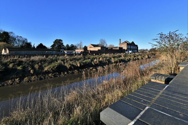
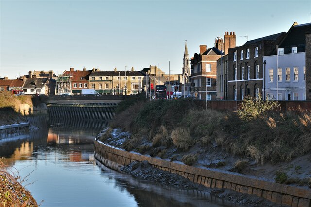
Little Boleness Field is a picturesque natural area located in Cambridgeshire, England. It is characterized by its stunning downs and moorland landscapes, offering visitors a serene and tranquil environment to explore and enjoy.
The field spans over a vast expanse of approximately 100 acres, providing ample space for outdoor activities such as walking, hiking, and nature observation. The downs in the area are gently rolling hills covered in lush green grass and dotted with wildflowers, creating a scenic backdrop for visitors to admire.
The moorland section of Little Boleness Field is a captivating sight, with its unique ecosystem and diverse range of plant and animal species. The moorland consists of open expanses of heather and gorse, interspersed with small pools and wetlands. This habitat provides a haven for a variety of bird species, including the elusive and endangered nightjar, which can often be heard at dusk.
Little Boleness Field also boasts a network of walking trails, allowing visitors to explore the area at their own pace. These trails wind through the downs and moorland, offering breathtaking views and opportunities to spot wildlife along the way.
In addition to its natural beauty, Little Boleness Field holds historical significance. The field is believed to have been used as common land for centuries, with evidence of ancient settlements and burial mounds scattered throughout the area.
Overall, Little Boleness Field is a captivating and diverse natural space, offering visitors the chance to immerse themselves in the beauty of the Cambridgeshire countryside while exploring its rich history and abundant wildlife.
If you have any feedback on the listing, please let us know in the comments section below.
Little Boleness Field Images
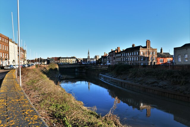
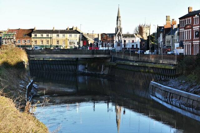
Images are sourced within 2km of 52.647975/0.16258771 or Grid Reference TF4607. Thanks to Geograph Open Source API. All images are credited.

Little Boleness Field is located at Grid Ref: TF4607 (Lat: 52.647975, Lng: 0.16258771)
Division: Isle of Ely
Administrative County: Cambridgeshire
District: Fenland
Police Authority: Cambridgeshire
What 3 Words
///gentle.skippers.shallower. Near Wisbech, Cambridgeshire
Nearby Locations
Related Wikis

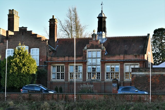
Thomas Clarkson Academy
Thomas Clarkson Academy is a mixed secondary school and sixth form located in Wisbech, Cambridgeshire, England. A new school building has been constructed...

Wisbech East railway station
Wisbech East was a railway station in Wisbech, Cambridgeshire. It was opened in 1848 and became part of the Great Eastern Railway network, providing connections...

Our Lady & Saint Charles Borromeo Church
Our Lady & Saint Charles Borromeo Church is a Roman Catholic church in Wisbech, Cambridgeshire, England. Services are conducted in the English and Polish...
Walsoken railway station
Walsoken railway station was located on the line between Wisbech East and Emneth. It served the village and parish of Walsoken in Norfolk, England, and...
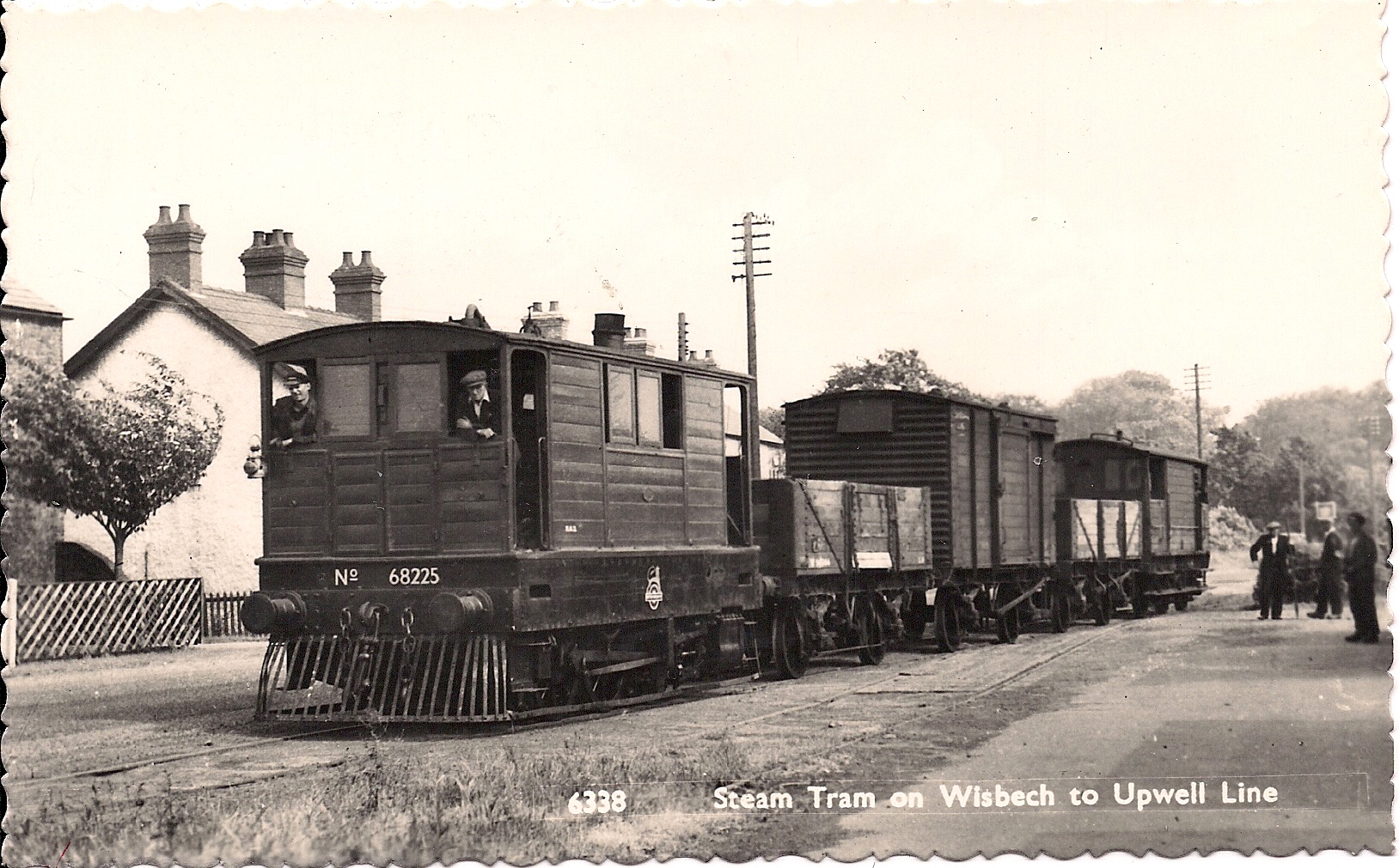
Wisbech and Upwell Tramway
The Wisbech and Upwell Tramway was a rural standard gauge tramway in East Anglia. It was built by the Great Eastern Railway between Wisbech, Isle of Ely...

Elmbridge railway station
Elmbridge railway station was a stop on the Wisbech and Upwell Tramway. It was in a projection of the parish of Emneth, Norfolk but was immediately south...
Wisbech Electric Theatre
The Wisbech Electric Theatre was a cinema and theatre in Wisbech, England. It was opened in 1910. == History == The proprietor was Mr Cooper J Elm and...
The Luxe Cinema
The Luxe Cinema is a cinema in Wisbech, Isle of Ely, Cambridgeshire, England. == History == The cinema is located in Alexandra Road, this Road also is...
Nearby Amenities
Located within 500m of 52.647975,0.16258771Have you been to Little Boleness Field?
Leave your review of Little Boleness Field below (or comments, questions and feedback).