Byall Fen
Downs, Moorland in Cambridgeshire East Cambridgeshire
England
Byall Fen
Byall Fen is a picturesque area located in Cambridgeshire, England. It is known for its diverse landscape, characterized by downs and moorland. The fen is situated in the southern part of the county, near the village of Byall.
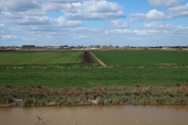
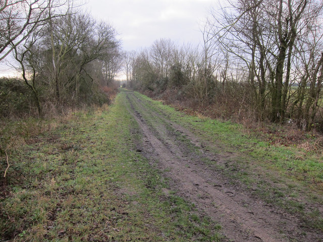
The downs in Byall Fen are rolling hills covered in lush green grass, offering breathtaking views of the surrounding countryside. These hills are the result of ancient geological processes, forming a unique landscape that attracts visitors from far and wide. The downs are home to a variety of plant and animal species, including wildflowers and birds, making it an ideal spot for nature enthusiasts.
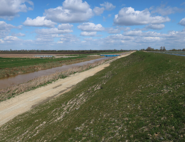
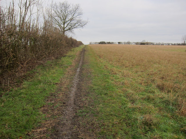
In contrast, the moorland in Byall Fen consists of open, marshy areas with heather and peat bogs. This type of landscape provides a habitat for several rare and protected species, such as the European adder and the common lizard. Moorland areas are also rich in peat, which has been historically used as a fuel source in the region.
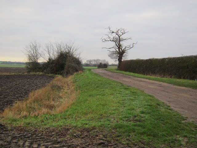
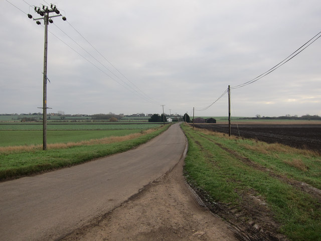
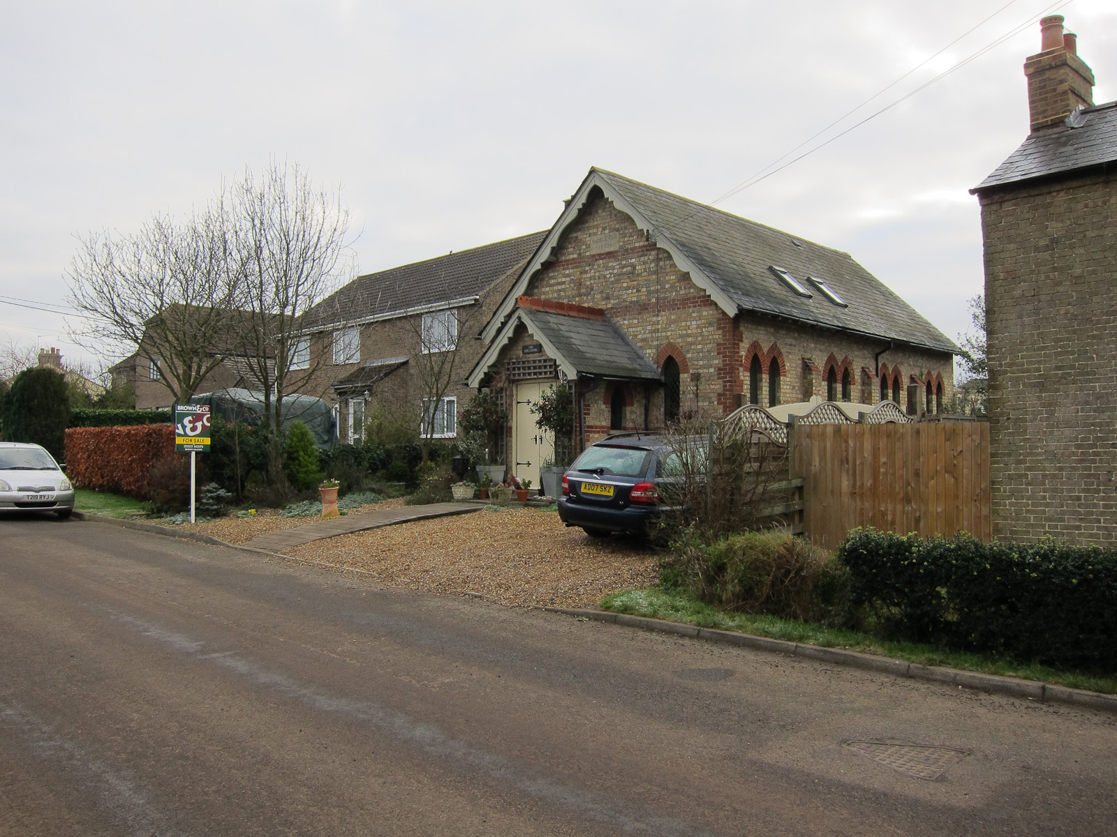
Byall Fen offers numerous opportunities for outdoor activities, including hiking, birdwatching, and photography. There are well-maintained trails that allow visitors to explore the downs and moorland, immersing themselves in the natural beauty of the area. Additionally, the fen is located near several quaint villages, where visitors can find charming accommodations and sample local cuisine.
Overall, Byall Fen in Cambridgeshire is a captivating destination that showcases the diverse and stunning landscapes of the region. Whether one seeks tranquility in the downs or wants to immerse themselves in the unique moorland environment, this area offers something for everyone.
If you have any feedback on the listing, please let us know in the comments section below.
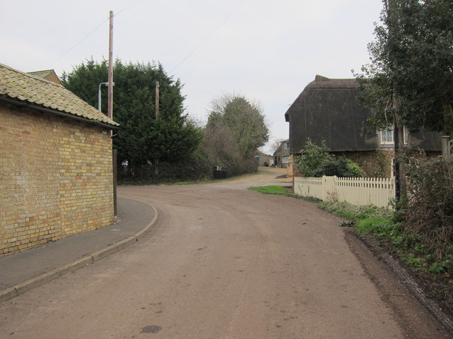
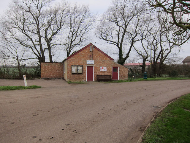
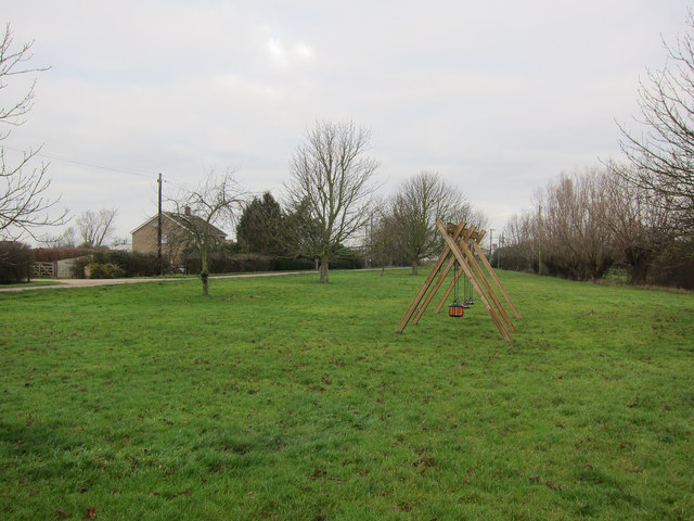
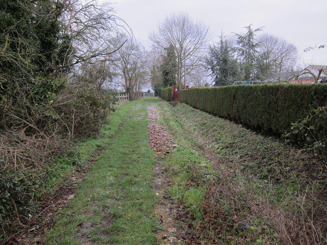
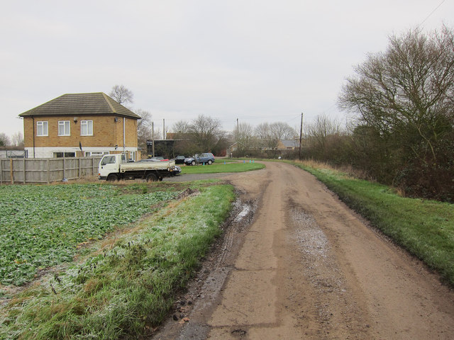
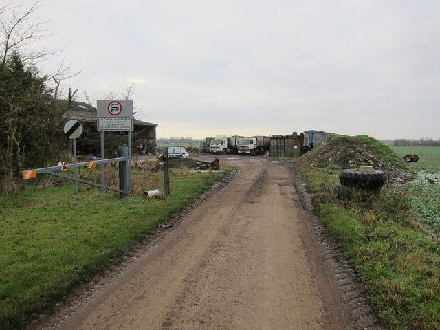
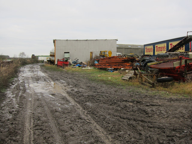
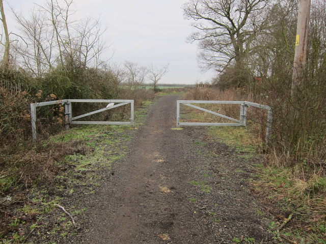
Byall Fen Images
Images are sourced within 2km of 52.423775/0.15055253 or Grid Reference TL4682. Thanks to Geograph Open Source API. All images are credited.


Byall Fen is located at Grid Ref: TL4682 (Lat: 52.423775, Lng: 0.15055253)
Division: Isle of Ely
Administrative County: Cambridgeshire
District: East Cambridgeshire
Police Authority: Cambridgeshire
What 3 Words
///appear.camcorder.noise. Near Sutton, Cambridgeshire
Nearby Locations
Related Wikis

Ely Rural District
Ely Rural District was a rural district in England from 1894 to 1974. It was named after Ely, but did not include the city itself, instead covering the...
Wardy Hill
Wardy Hill is a hamlet in Coveney civil parish, part of East Cambridgeshire, England. It is also the site of a former Iron Age Hill fort == References ==

Witcham
Witcham is a small village near Ely in Cambridgeshire, England. The village is surrounded by fenland farms and has a village hall and a 13th-century church...

Mepal
Mepal is a village in Cambridgeshire, England. Mepal is part of the East Cambridgeshire district, and is located just north of the A142 road between Ely...
Have you been to Byall Fen?
Leave your review of Byall Fen below (or comments, questions and feedback).