Cottenham Pastures
Downs, Moorland in Cambridgeshire South Cambridgeshire
England
Cottenham Pastures
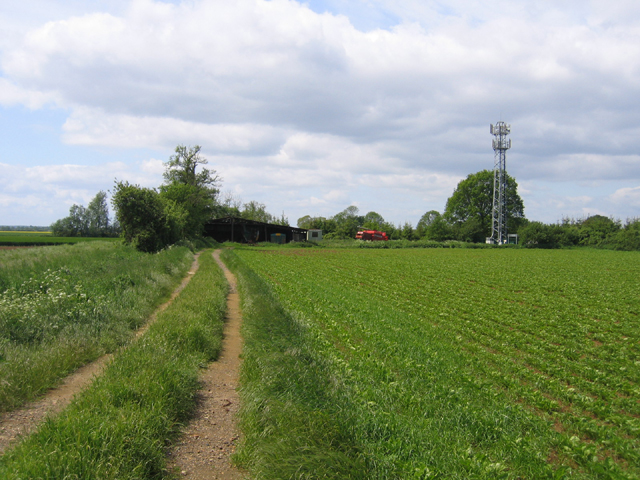
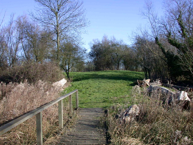
Cottenham Pastures is a picturesque area located in Cambridgeshire, England. Stretching across vast expanses, it is characterized by its stunning downs and moorland landscapes. The region offers visitors a unique opportunity to immerse themselves in the natural beauty of the area.
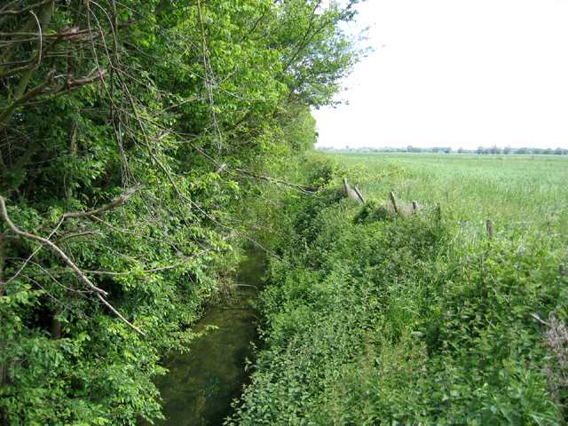
The downs of Cottenham Pastures are rolling hills covered in lush green grass, dotted with wildflowers during the spring and summer months. These hills provide breathtaking panoramic views of the surrounding countryside, making it a popular spot for hikers and nature enthusiasts. The peace and tranquility found here make it an ideal location for those seeking to escape the hustle and bustle of everyday life.
The moorland in Cottenham Pastures is a diverse ecosystem, consisting of open terrain with heather, gorse, and grasses. It is home to a variety of wildlife, including birds, reptiles, and small mammals. Walking through the moorland, visitors may encounter rare species such as adders and skylarks, adding to the area's allure.
Cottenham Pastures is also of historical significance. It has been used for centuries as grazing land for livestock, with evidence of human habitation dating back to the Neolithic period. The area is rich in archaeological finds, including ancient burial mounds and artifacts, providing a glimpse into the region's past.
In summary, Cottenham Pastures in Cambridgeshire offers a stunning blend of downs and moorland landscapes. With its breathtaking views, diverse wildlife, and historical significance, it is a must-visit destination for those seeking to connect with nature and explore the region's rich heritage.
If you have any feedback on the listing, please let us know in the comments section below.
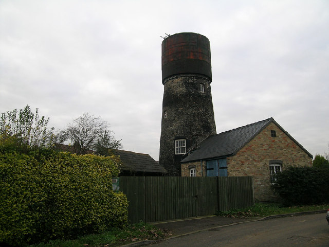
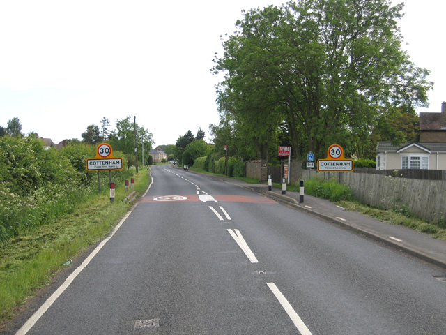
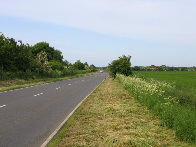
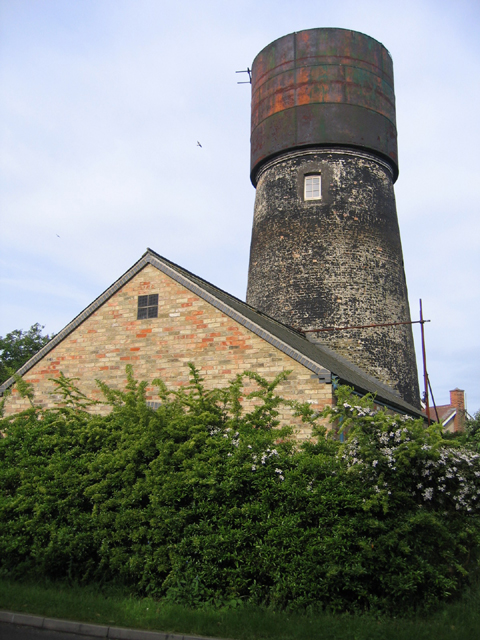
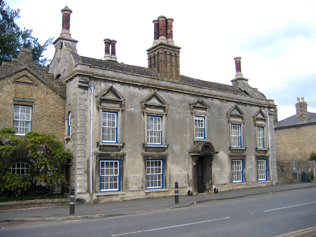
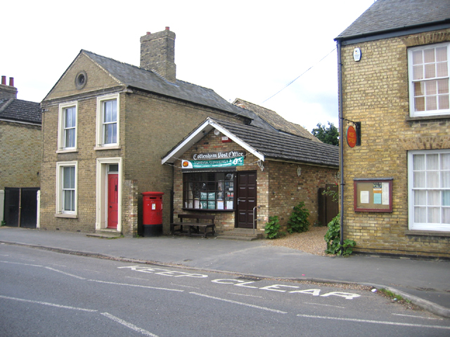
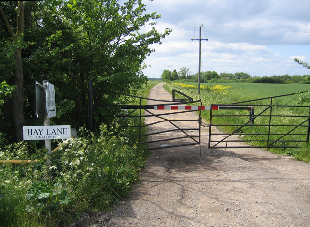
Cottenham Pastures Images
Images are sourced within 2km of 52.274326/0.12957493 or Grid Reference TL4566. Thanks to Geograph Open Source API. All images are credited.


Cottenham Pastures is located at Grid Ref: TL4566 (Lat: 52.274326, Lng: 0.12957493)
Administrative County: Cambridgeshire
District: South Cambridgeshire
Police Authority: Cambridgeshire
What 3 Words
///trophy.decimals.stowing. Near Cottenham, Cambridgeshire
Nearby Locations
Related Wikis

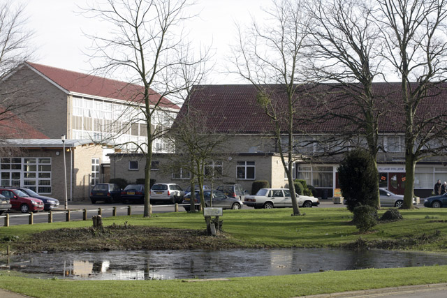
Cottenham Village College
Cottenham Village College is an academy school located in Cottenham, Cambridgeshire, England. The school offers secondary education to pupils from the...

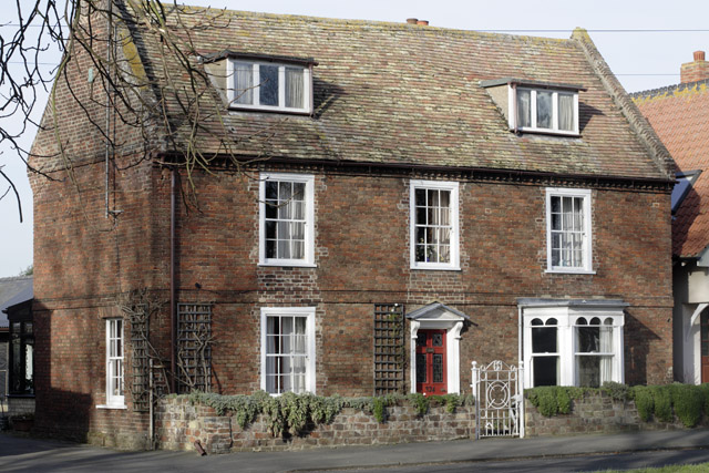
Cottenham
Cottenham is a village in Cambridgeshire, England. Cottenham is one of the larger villages surrounding the city of Cambridge, located around five miles...
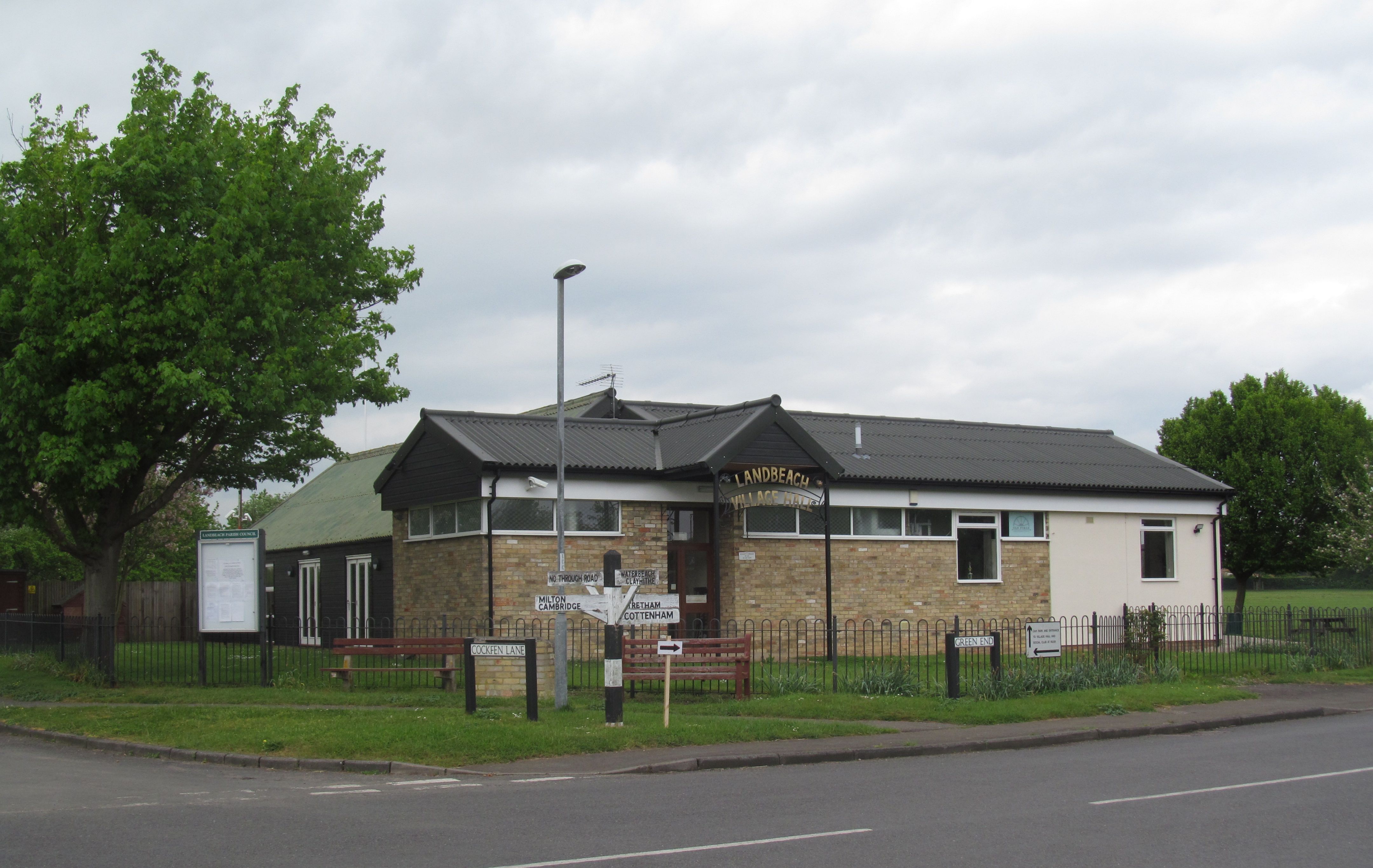
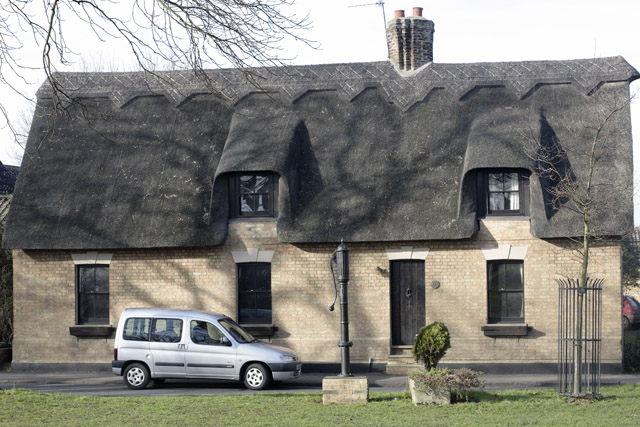
Landbeach
Landbeach is a small fen-edge English village about three miles (5 km) north of Cambridge. The parish covers an area of 9 km2 (3.5 sq mi). == History... ==
Fen Edge
Fen Edge is an area and collection of villages in the South Cambridgeshire district of Cambridgeshire, England. The five villages in Fen Edge are Cottenham...
Histon
Histon is a village and civil parish in the South Cambridgeshire district, in the county of Cambridgeshire, England. It is immediately north of Cambridge...
Rampton Castle
Rampton Castle, known locally as Giant's Hill, is the earthwork remains of a motte and bailey castle in Rampton, Cambridgeshire. It is believed that the...

Impington Village College
Impington Village College is a mixed secondary school and sixth form located in Impington in the English county of Cambridgeshire. The buildings of 1938...
Village college
The village college is an institution specific to Cambridgeshire, England, including the Peterborough unitary authority area. It caters for the education...
Have you been to Cottenham Pastures?
Leave your review of Cottenham Pastures below (or comments, questions and feedback).