The Common
Downs, Moorland in Lincolnshire South Holland
England
The Common
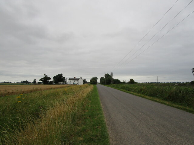
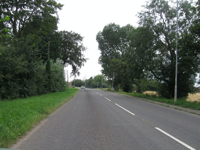
The Common, located in Lincolnshire, is a diverse natural landscape that encompasses downs and moorland. Spanning over a considerable area, it offers a wide range of flora and fauna, making it an ideal destination for nature enthusiasts and hikers alike.
The downs section of The Common is characterized by its gently rolling hills and expansive grasslands. These areas are often dotted with wildflowers during the warmer months, creating a vibrant and picturesque scene. The downs are home to various species of grasses and heathers, contributing to the ecological diversity of the region.
On the other hand, the moorland section of The Common is a stark contrast to the downs. It features vast expanses of heathland, interspersed with patches of wetland and peat bogs. The moorland is home to a range of unique plant species adapted to the acidic and waterlogged conditions. Visitors to this area may also spot various bird species, such as curlews and lapwings, which find sanctuary in the moorland.
The Common is a protected area, ensuring the preservation of its natural beauty and biodiversity. It is a haven for wildlife, providing habitats for numerous species, including small mammals and reptiles. The management of the site focuses on maintaining the delicate balance between conservation and public access, with designated trails and paths for visitors to explore.
Overall, The Common in Lincolnshire offers a captivating blend of downs and moorland, providing visitors with a chance to immerse themselves in the beauty of the natural world.
If you have any feedback on the listing, please let us know in the comments section below.
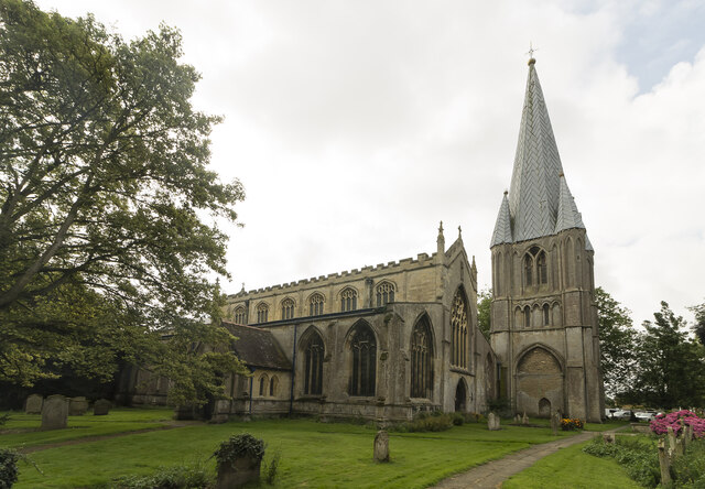
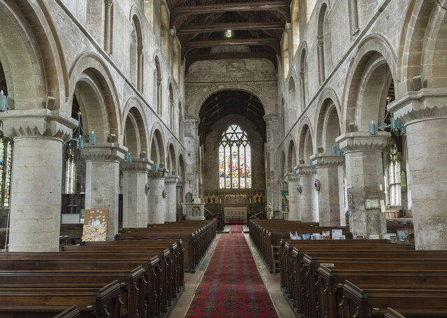
The Common Images
Images are sourced within 2km of 52.778469/0.14212564 or Grid Reference TF4422. Thanks to Geograph Open Source API. All images are credited.


The Common is located at Grid Ref: TF4422 (Lat: 52.778469, Lng: 0.14212564)
Administrative County: Lincolnshire
District: South Holland
Police Authority: Lincolnshire
What 3 Words
///meanwhile.intervene.roof. Near Sutton Bridge, Lincolnshire
Nearby Locations
Related Wikis

Little Sutton, Lincolnshire
Little Sutton is a small civil parish, containing a few farms and a few houses, lying between the much larger parishes of Long Sutton and Sutton Bridge...

Low Fulney
Low Fulney is a hamlet in the South Holland district of Lincolnshire, England. It is in the Spalding St. Paul's ward of the South Holland District Council...
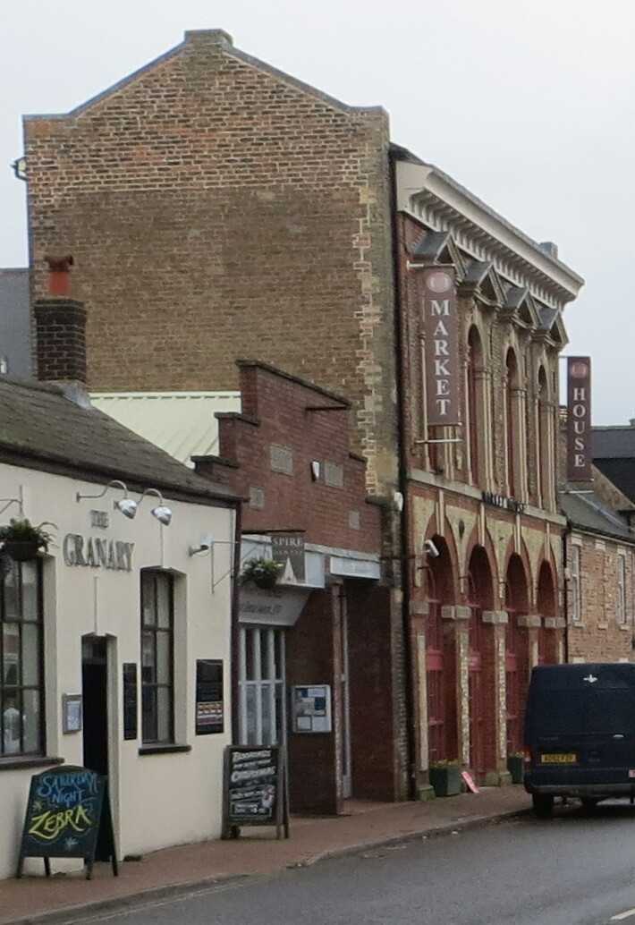
Long Sutton Market House
Long Sutton Market House, also known as Long Sutton Market House and Corn Exchange, is a commercial building in Market Street in Long Sutton, Lincolnshire...

Long Sutton, Lincolnshire
Long Sutton is a market town in the South Holland district of Lincolnshire, England. It lies in The Fens, close to the Wash, 13 miles (21 km) east of Spalding...

University Academy Long Sutton
University Academy Long Sutton (formerly The Peele Community College) is a co-educational secondary school located in Long Sutton in the English county...
Long Sutton railway station
Long Sutton railway station was a station in Long Sutton, Lincolnshire, England. It was part of the Midland and Great Northern Joint Railway which closed...

Sutton Bridge
Sutton Bridge is a village and civil parish in the South Holland district of Lincolnshire, England. It is situated on the A17 road, 7 miles (11 km) north...

Lutton, Lincolnshire
Lutton (sometimes Lutton-Bourne) is a village and civil parish in the South Holland district of Lincolnshire, England. The population of the civil parish...
Nearby Amenities
Located within 500m of 52.778469,0.14212564Have you been to The Common?
Leave your review of The Common below (or comments, questions and feedback).