Berry Fen

Downs, Moorland in Cambridgeshire East Cambridgeshire

England

Berry Fen

Lakes Drove
Lakes Drove Credit: Hugh Venables

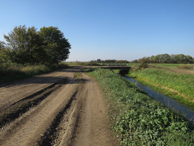
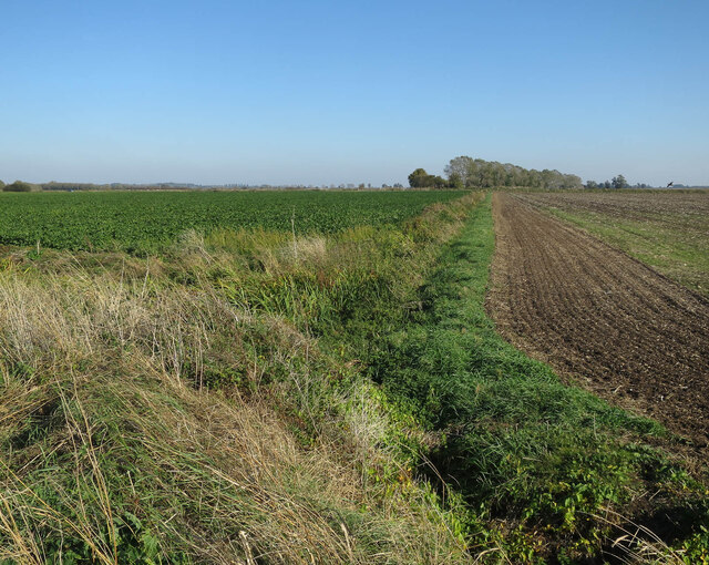
Berry Fen is a picturesque region located in Cambridgeshire, England. Known for its stunning landscape and diverse ecosystem, the fen encompasses both downs and moorland areas. Covering an extensive area, Berry Fen offers a unique blend of natural beauty and wildlife.

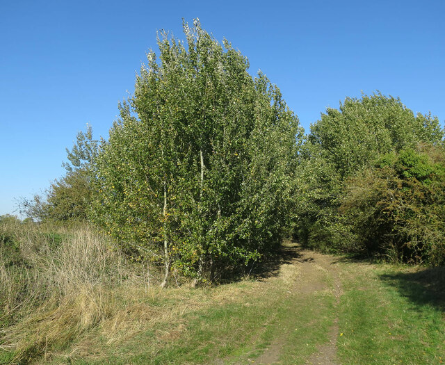
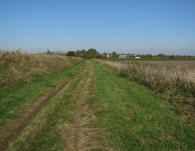
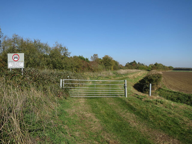
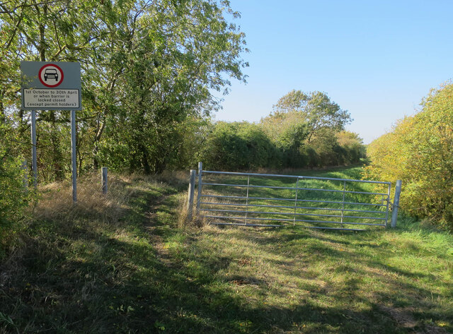
The downs in Berry Fen are characterized by gently rolling hills, covered with lush green grasses and scattered with vibrant wildflowers during the summer months. The undulating terrain provides a captivating view, attracting hikers and nature enthusiasts alike. Visitors can enjoy leisurely walks along the well-marked trails, taking in the panoramic vistas and breathing in the fresh country air.

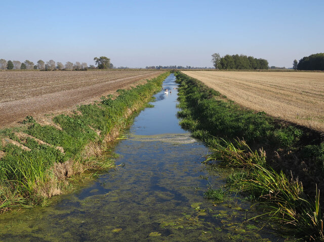
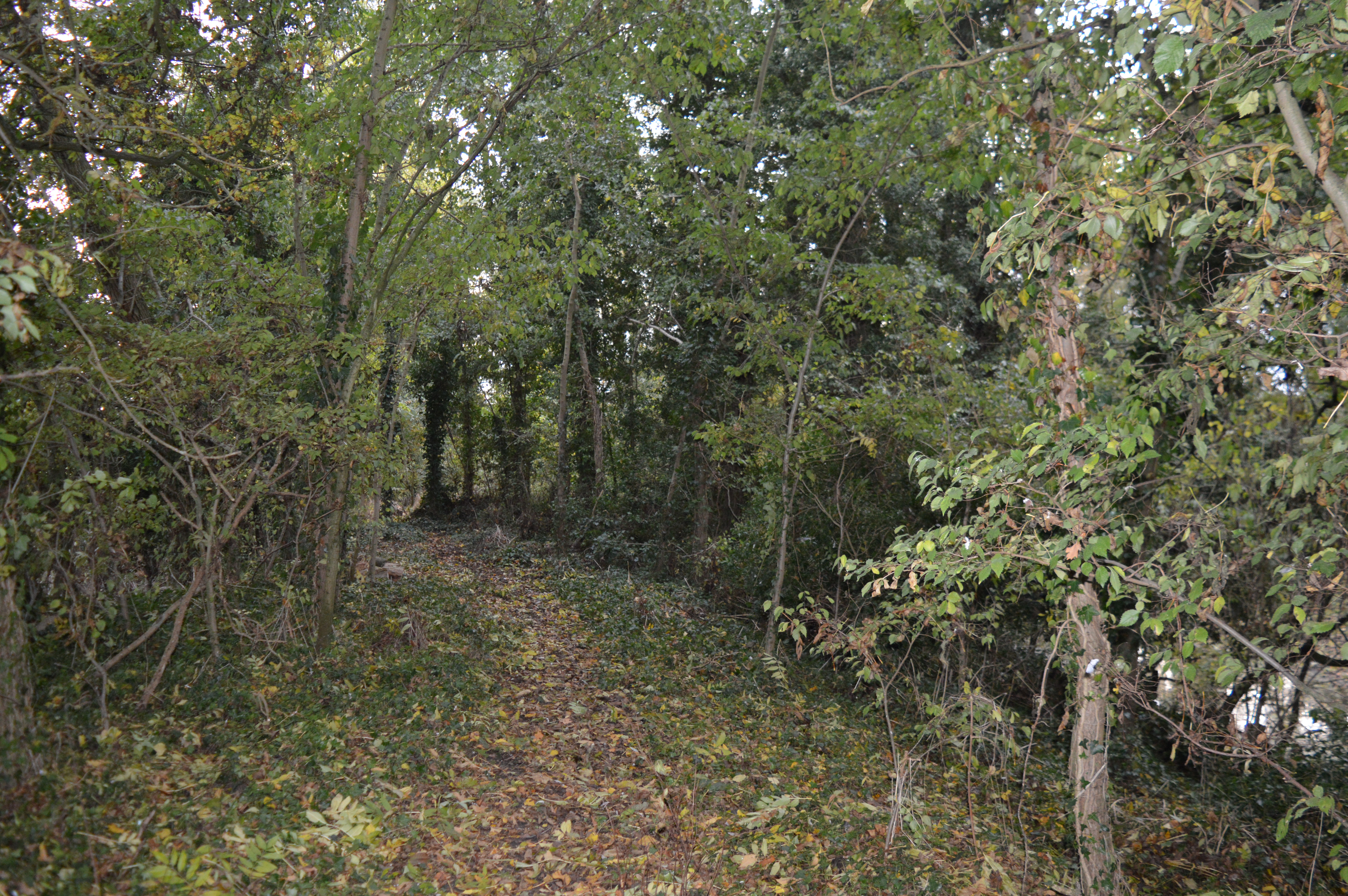
In contrast, the moorland of Berry Fen presents a rugged and wild landscape. This area is marked by vast expanses of heather and peat bogs, interspersed with small ponds and wetlands. Moorland birds, such as curlews and lapwings, can be spotted here, as well as rare plant species adapted to this unique habitat.

Berry Fen also hosts a rich array of wildlife, making it a haven for nature lovers. The fen is home to numerous bird species, including marsh harriers, barn owls, and various waterfowl. Otters and water voles can be found in the fen's waterways, while butterflies and dragonflies flit through the air during the warmer months.

Overall, Berry Fen is a captivating destination for those seeking to immerse themselves in the beauty of the Cambridgeshire countryside. With its picturesque downs, diverse moorland, and abundant wildlife, this natural wonderland offers a serene escape from the hustle and bustle of everyday life.

If you have any feedback on the listing, please let us know in the comments section below.
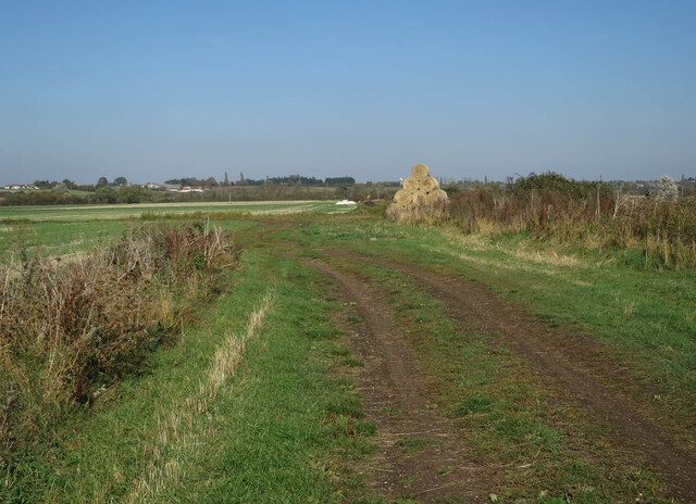
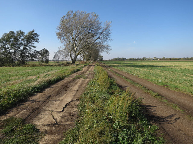
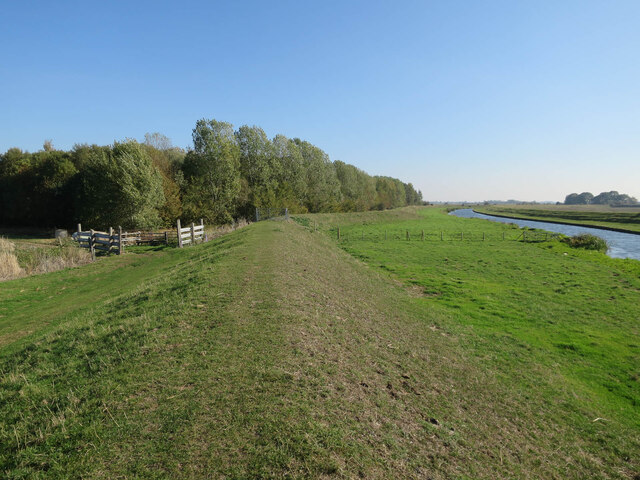
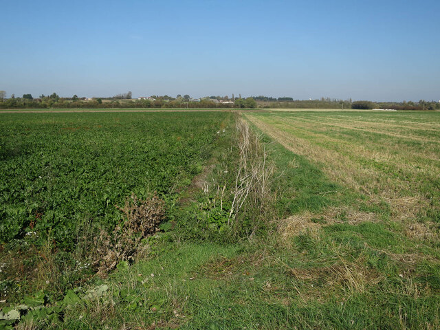
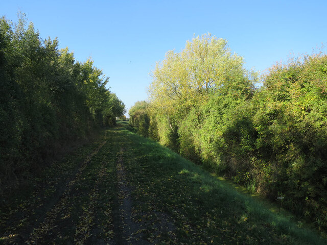
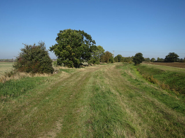
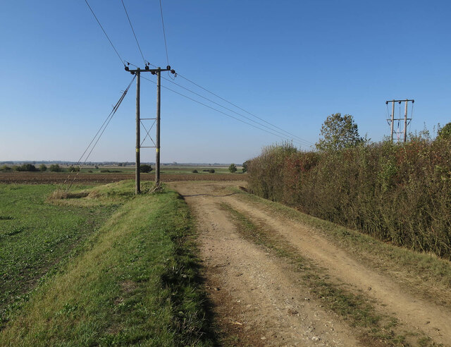
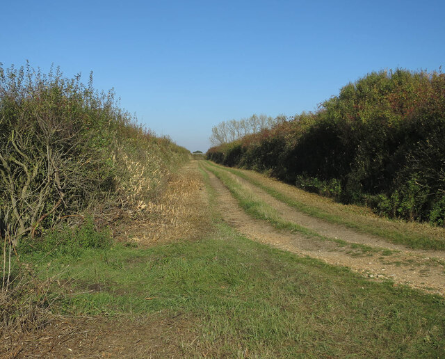
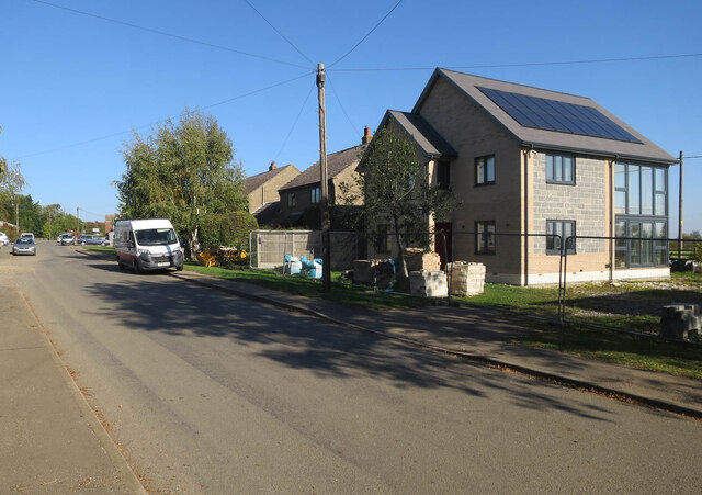
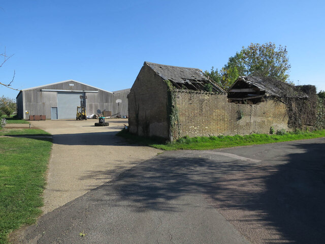
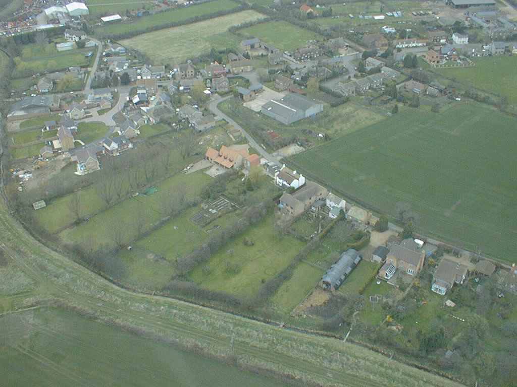
Berry Fen Images

Images are sourced within 2km of 52.345861/0.1107389 or Grid Reference TL4374. Thanks to Geograph Open Source API. All images are credited.

Lakes Drove
Lakes Drove
Cross Drove The actual concrete roads are in such a state that there are dirt tracks parallel to them.
Cross Drove
The actual concrete roads are in such a state that there are dirt tracks parallel to them.
Ouse Valley Way past Nine Acre Wood
Fields by Cross Drove
Cross Drove towards Church Fen Bridge With the dirt track rejoining the concrete road it has been paralleling as a smoother option.
Cross Drove towards Church Fen Bridge
With the dirt track rejoining the concrete road it has been paralleling as a smoother option.
Trees by Aldreth Causeway
Church Fen by Aldreth Causeway
Aldreth Causeway An ancient route across the Great Ouse to Aldreth (and thus the Isle of Ely). See <span class="nowrap"><a title="http://ousewashes.org.uk/explore/aldreth-causeway/" rel="nofollow ugc noopener" href="http://ousewashes.org.uk/explore/aldreth-causeway/">Link</a><img style="margin-left:2px;" alt="External link" title="External link - shift click to open in new window" src="https://s1.geograph.org.uk/img/external.png" width="10" height="10"/></span> and <a href="https://www.geograph.org.uk/photo/1139646">TL4372 : Aldreth Causeway sign</a>
Aldreth Causeway
An ancient route across the Great Ouse to Aldreth (and thus the Isle of Ely). See LinkExternal link and TL4372 : Aldreth Causeway sign
Drain across Church Fen
Fen Side byway closed for winter One of the old routes contouring around the boundary between fenland fields (previously marshland) and higher (drier) ground. These are connected by straight causeways across the old marshland.
Fen Side byway closed for winter
One of the old routes contouring around the boundary between fenland fields (previously marshland) and higher (drier) ground. These are connected by straight causeways across the old marshland.
David Harrison yard, Aldreth
Fen Side byway closed for winter One of the old routes contouring around the boundary between fenland fields (previously marshland) and higher (drier) ground. These are connected by straight causeways across the old marshland.
Fen Side byway closed for winter
One of the old routes contouring around the boundary between fenland fields (previously marshland) and higher (drier) ground. These are connected by straight causeways across the old marshland.
Fen Side byway
Fen Side byway
Fen Side byway One of the old routes contouring around the boundary between fenland fields (previously marshland) and higher (drier) ground. These are connected by straight causeways across the old marshland.
Fen Side byway
One of the old routes contouring around the boundary between fenland fields (previously marshland) and higher (drier) ground. These are connected by straight causeways across the old marshland.
Tinkers Lane
Tinkers Lane
Middle Path, Aldreth
New house, Aldreth
New house, Aldreth
Farmyard in Aldreth
Farmyard in Aldreth
Show me another place!

Berry Fen is located at Grid Ref: TL4374 (Lat: 52.345861, Lng: 0.1107389)

Division: Isle of Ely

Administrative County: Cambridgeshire

District: East Cambridgeshire

Police Authority: Cambridgeshire

What 3 Words

///knitted.schematic.freezers. Near Haddenham, Cambridgeshire

Nearby Locations

Adventurer's Fen Berry Fen

Related Wikis

Aldreth

Aldreth is a hamlet in Cambridgeshire with about 260 residents (2001 census). It is located near the larger village of Haddenham (where the population...

Haddenham, Cambridgeshire

Haddenham is a village and civil parish in Cambridgeshire, England. In the 2001 census the parish had a population of 3,228. The 2011 census reported a...

Haddenham railway station (Cambridgeshire)

Haddenham railway station was a station in Haddenham, Cambridgeshire. It was first opened in 1866 by the Ely, Haddenham and Sutton Railway. It closed to...

Willingham, Cambridgeshire

Willingham is a village in Cambridgeshire, England. It is located in the South Cambridgeshire district and sits just outside the border of the Fens, just...

Belsar's Hill

Belsar's Hill is a hillfort near Willingham, Cambridgeshire, England. == Description == Belsar's Hill is an oval-shaped area, 265–220 metres (869–722 ft...

Doghouse Grove

Doghouse Grove is a 0.8-hectare (2.0-acre) nature reserve in Wilburton in Cambridgeshire. It is managed by the Wildlife Trust for Bedfordshire, Cambridgeshire...

Earith Bridge railway station

Earith Bridge railway station was a station in Earith, Cambridgeshire on the Ely and St Ives Railway. It was closed to regular passenger trains in 1931...

Wilburton

Wilburton is a small village of just over 1,000 inhabitants, situated in Cambridgeshire, England. It is 6 miles south west of Ely. While nominally an agricultural...

Nearby Amenities

Located within 500m of 52.345861,0.1107389
Power: pole
Lat/Long: 52.3499512/0.1127974
Power: pole
Lat/Long: 52.3483208/0.1127384
Power: pole
Lat/Long: 52.3480308/0.1125265
Power: pole
Lat/Long: 52.3489665/0.1125399
Power: pole
Lat/Long: 52.3490172/0.1127304
Power: pole
Lat/Long: 52.344721/0.1157693
Power: pole
Lat/Long: 52.343479/0.1166089
Power: pole
Lat/Long: 52.3473312/0.1131461
Power: pole
Lat/Long: 52.3437576/0.1166196
Power: pole
Lat/Long: 52.3471854/0.1136478
Power: pole
Lat/Long: 52.3459074/0.1147851
Power: pole
Lat/Long: 52.3466382/0.1137605
Power: pole
Lat/Long: 52.3457681/0.1145786
Power: pole
Lat/Long: 52.3443999/0.1157854
Power: pole
Lat/Long: 52.3453092/0.1149834
The data included in this document is from www.openstreetmap.org. The data is made available under ODbL.

Have you been to Berry Fen?

Leave your review of Berry Fen below (or comments, questions and feedback).