Salt Field
Downs, Moorland in Lincolnshire South Holland
England
Salt Field

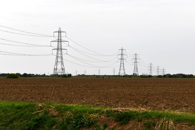
The Salt Field, located in Lincolnshire, England, is a vast expanse of downs and moorland with a rich historical significance. Spanning an area of approximately [size], it is a unique landscape characterized by its flat, open terrain and sparse vegetation.
The area gets its name from the historical salt production that took place here centuries ago. In the past, salt was a highly valuable commodity, and the Salt Field was one of the key sites for its extraction. The landscape still bears the remnants of this industry, with salt pans, ditches, and other structures scattered across the area.
Today, the Salt Field has transformed into a popular destination for nature enthusiasts and hikers. The downs and moorland offer a diverse range of flora and fauna, making it an ideal habitat for a variety of plants and animals. Visitors can explore the network of scenic trails that crisscross the area and take in the breathtaking views of the surrounding countryside.
In addition to its natural beauty, the Salt Field also boasts several archaeological sites. Ancient burial mounds, known as barrows, can be found scattered throughout the landscape, providing insight into the region's prehistoric past. Archaeologists have also discovered artifacts from different eras, including Roman pottery and medieval coins, further highlighting the area's historical importance.
The Salt Field, with its unique combination of natural and historical features, offers a captivating experience for those seeking to immerse themselves in Lincolnshire's diverse heritage and explore its picturesque countryside.
If you have any feedback on the listing, please let us know in the comments section below.
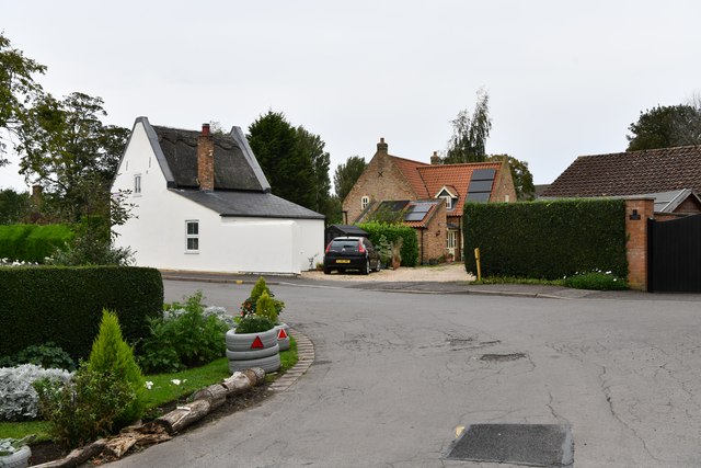
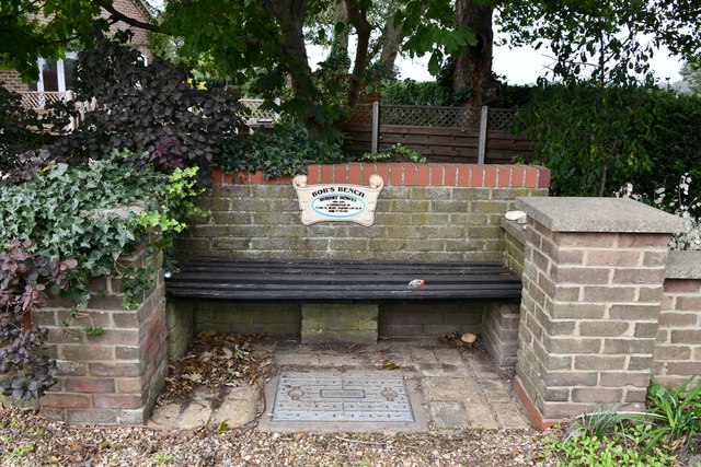
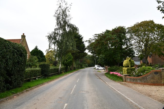
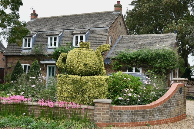
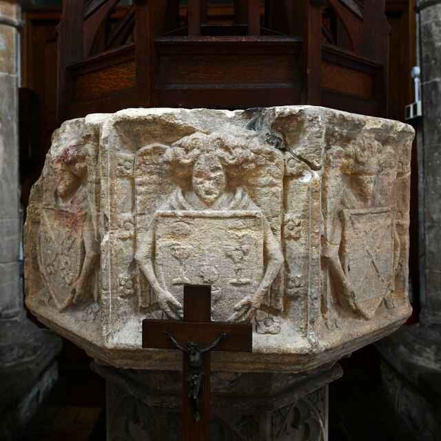
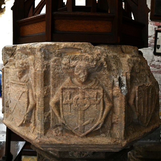
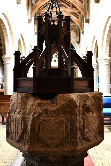
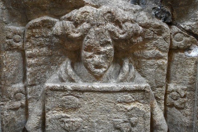
Salt Field Images
Images are sourced within 2km of 52.751648/0.12516134 or Grid Reference TF4319. Thanks to Geograph Open Source API. All images are credited.

Salt Field is located at Grid Ref: TF4319 (Lat: 52.751648, Lng: 0.12516134)
Administrative County: Lincolnshire
District: South Holland
Police Authority: Lincolnshire
What 3 Words
///decoding.lakeside.amphibian. Near Sutton Bridge, Lincolnshire
Nearby Locations
Related Wikis

Tydd St Mary
Tydd St Mary is a village and civil parish in the South Holland district of Lincolnshire, England, about 9 miles (14 km) east of the town of Spalding and...

Tydd Gote
Tydd Gote is an English village, partly, at the north, in the civil parish of Tydd St Mary of the South Holland District of Lincolnshire, and partly, at...

Four Gotes
Four Gotes is a hamlet in the civil parish of Tydd St Giles in Cambridgeshire, England. The population is included in the civil parish of Leverington....
Tydd St Giles
Tydd St Giles is a village in Fenland, Cambridgeshire, England. It is the northernmost village in the Isle of Ely, Cambridgeshire (bordering Lincolnshire...

Low Fulney
Low Fulney is a hamlet in the South Holland district of Lincolnshire, England. It is in the Spalding St. Paul's ward of the South Holland District Council...
Tydd railway station
Tydd railway station was a station, opened by the Peterborough, Wisbech and Sutton Bridge Railway on 1 August 1866, in Lincolnshire serving the villages...

Little Sutton, Lincolnshire
Little Sutton is a small civil parish, containing a few farms and a few houses, lying between the much larger parishes of Long Sutton and Sutton Bridge...
Long Sutton railway station
Long Sutton railway station was a station in Long Sutton, Lincolnshire, England. It was part of the Midland and Great Northern Joint Railway which closed...
Nearby Amenities
Located within 500m of 52.751648,0.12516134Have you been to Salt Field?
Leave your review of Salt Field below (or comments, questions and feedback).