Ewell Fen
Downs, Moorland in Cambridgeshire East Cambridgeshire
England
Ewell Fen
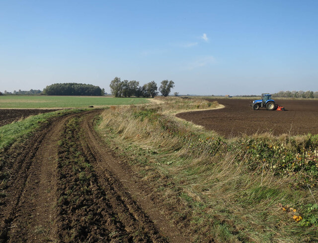
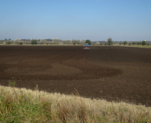
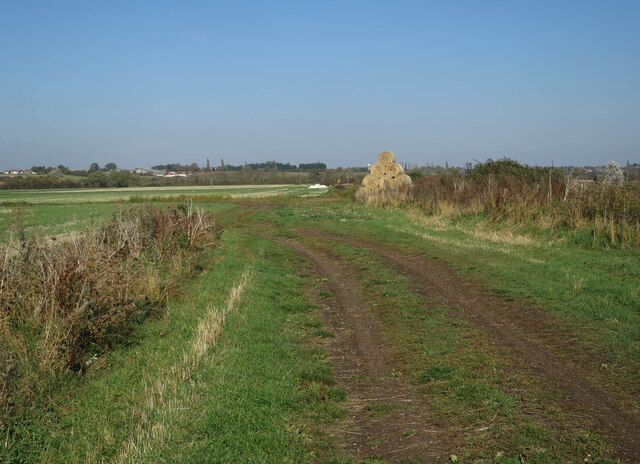
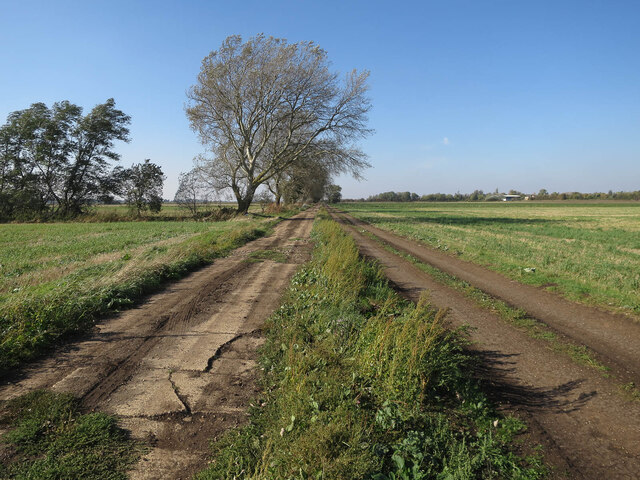
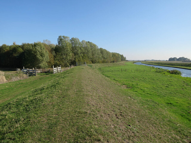
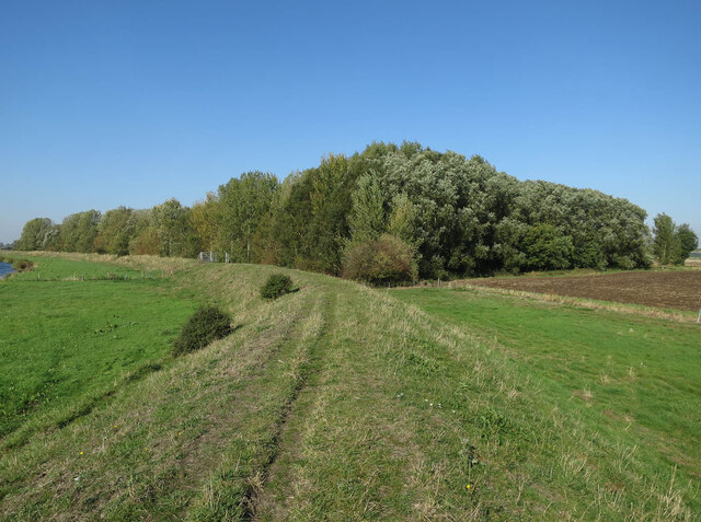
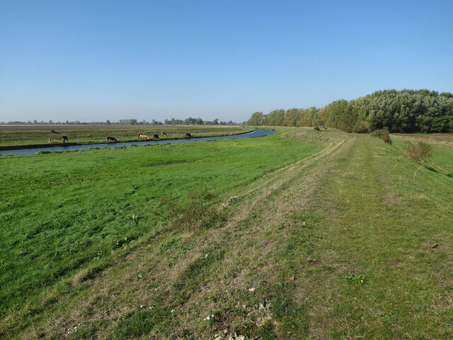
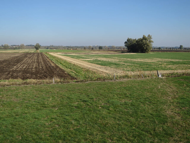
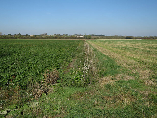
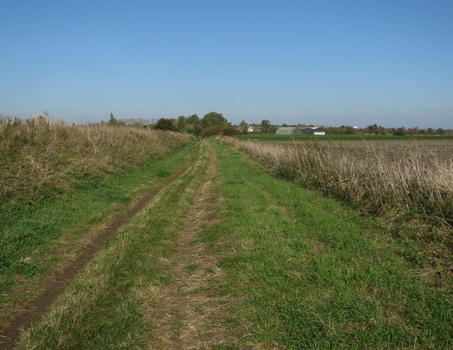
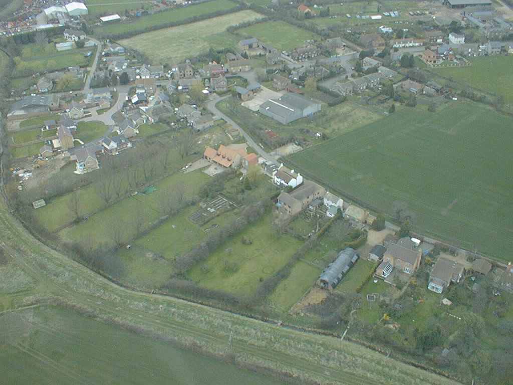
Ewell Fen is a picturesque nature reserve located in Cambridgeshire, England. Situated in the southern part of the county, it encompasses a diverse range of natural habitats, including downs and moorland. The fen is known for its unique and thriving ecosystem, making it a popular destination for nature enthusiasts and wildlife lovers.
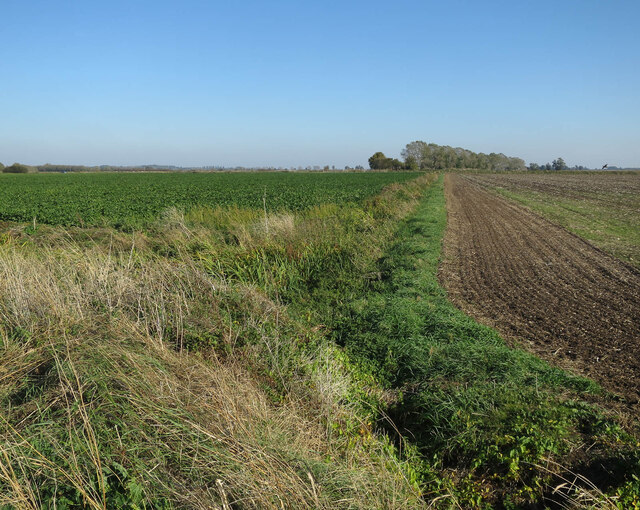
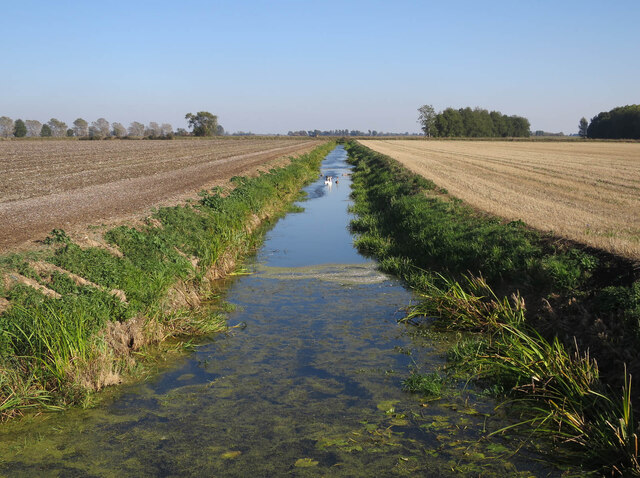
Covering an area of approximately 100 hectares, Ewell Fen showcases a remarkable variety of plant and animal species. The site is characterized by its wetland areas, which provide an ideal environment for a range of wetland plants such as reeds, sedges, and water lilies. These plants, in turn, attract an array of bird species, including marsh harriers, bitterns, and herons.
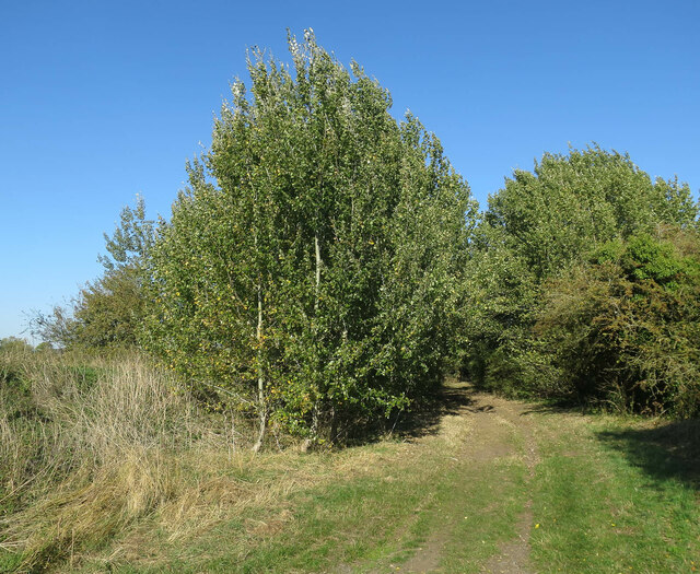
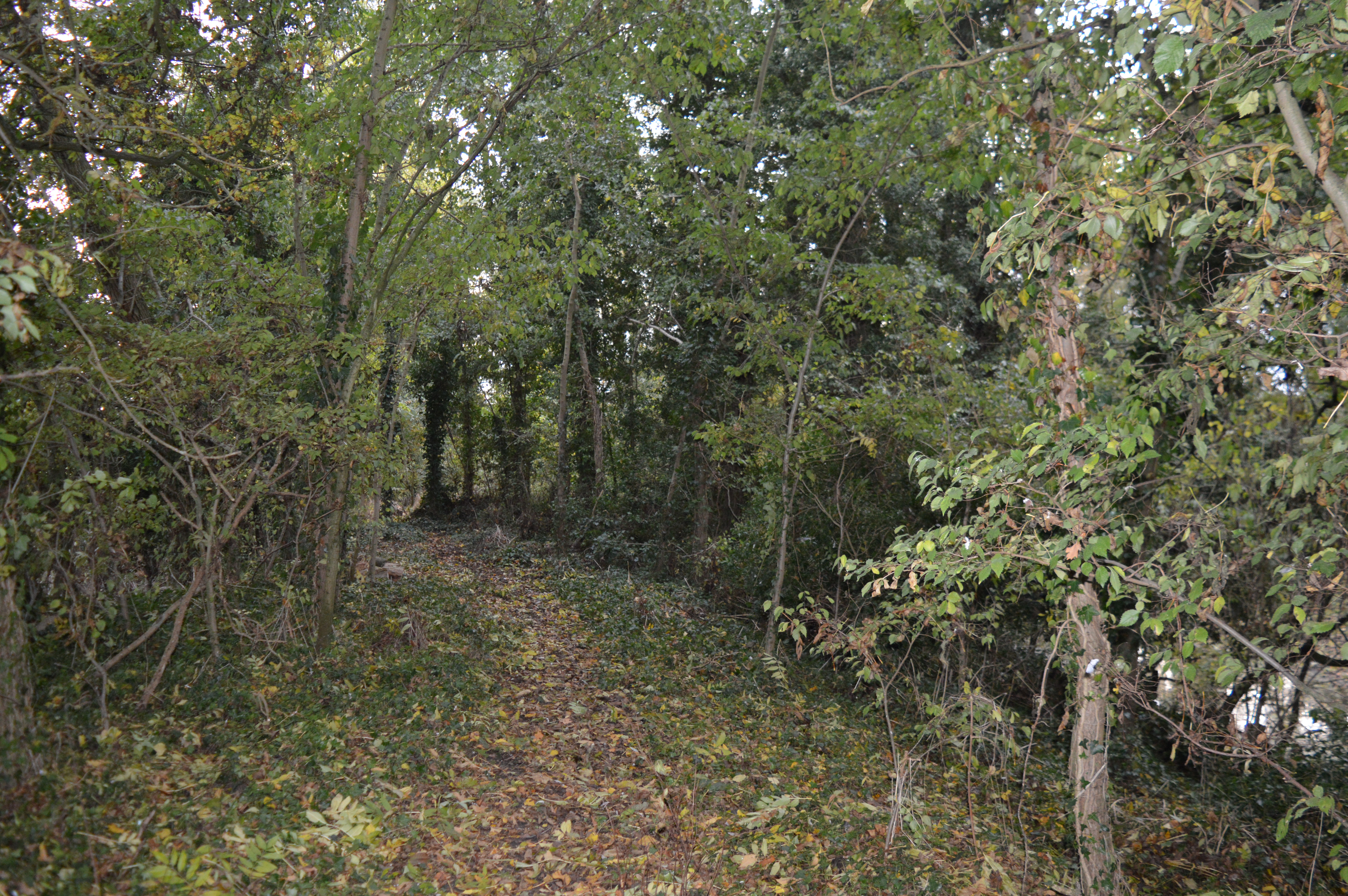
In addition to its wetland habitats, Ewell Fen also features areas of open grassland and heathland. These habitats support a wealth of plant life, including heather, gorse, and wildflowers. Butterflies, such as the common blue and small copper, can often be spotted fluttering among the flowers.
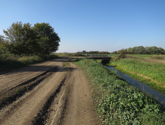
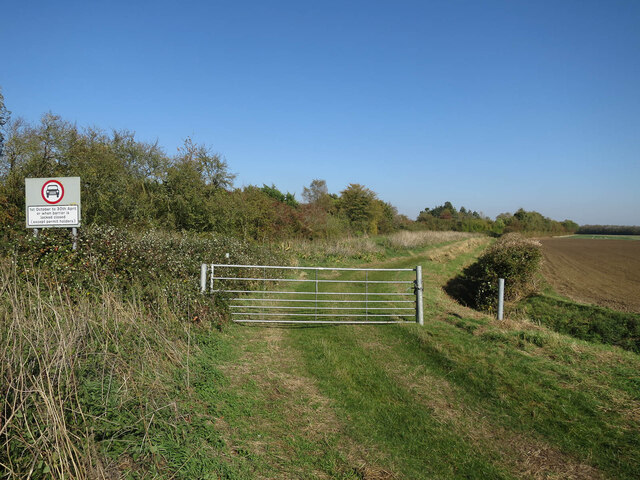
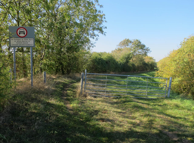
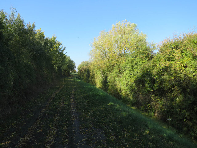
Ewell Fen is not only a haven for plants and animals but also a place for visitors to enjoy leisure activities. The reserve offers several walking trails, allowing visitors to explore the diverse landscapes and appreciate the natural beauty of the area. Additionally, the fen provides opportunities for birdwatching, photography, and nature study.
Overall, Ewell Fen in Cambridgeshire is a remarkable nature reserve, offering a unique blend of wetland, grassland, and heathland habitats. With its rich biodiversity and scenic landscapes, it provides a tranquil and captivating experience for all who visit.
If you have any feedback on the listing, please let us know in the comments section below.
Ewell Fen Images
Images are sourced within 2km of 52.335234/0.10461095 or Grid Reference TL4372. Thanks to Geograph Open Source API. All images are credited.
Ewell Fen is located at Grid Ref: TL4372 (Lat: 52.335234, Lng: 0.10461095)
Division: Isle of Ely
Administrative County: Cambridgeshire
District: East Cambridgeshire
Police Authority: Cambridgeshire
What 3 Words
///pickup.assurance.puncture. Near Haddenham, Cambridgeshire
Nearby Locations
Related Wikis
Aldreth
Aldreth is a hamlet in Cambridgeshire with about 260 residents (2001 census). It is located near the larger village of Haddenham (where the population...

Belsar's Hill
Belsar's Hill is a hillfort near Willingham, Cambridgeshire, England. == Description == Belsar's Hill is an oval-shaped area, 265–220 metres (869–722 ft...

Willingham, Cambridgeshire
Willingham is a village in Cambridgeshire, England. It is located in the South Cambridgeshire district and sits just outside the border of the Fens, just...

Haddenham, Cambridgeshire
Haddenham is a village and civil parish in Cambridgeshire, England. In the 2001 census the parish had a population of 3,228. The 2011 census reported a...

Earith Bridge railway station
Earith Bridge railway station was a station in Earith, Cambridgeshire on the Ely and St Ives Railway. It was closed to regular passenger trains in 1931...

Old Bedford River
The Old Bedford River is an artificial, partial diversion of the waters of the River Great Ouse in the Fens of Cambridgeshire, England. It was named after...

Haddenham railway station (Cambridgeshire)
Haddenham railway station was a station in Haddenham, Cambridgeshire. It was first opened in 1866 by the Ely, Haddenham and Sutton Railway. It closed to...
Doghouse Grove
Doghouse Grove is a 0.8-hectare (2.0-acre) nature reserve in Wilburton in Cambridgeshire. It is managed by the Wildlife Trust for Bedfordshire, Cambridgeshire...
Nearby Amenities
Located within 500m of 52.335234,0.10461095Have you been to Ewell Fen?
Leave your review of Ewell Fen below (or comments, questions and feedback).