Wrangle Low Ground

Downs, Moorland in Lincolnshire Boston

England

Wrangle Low Ground

King's Hill Motte and Bailey, Wrangle Bank: aerial 2021 (1) See <span class="nowrap"><a title="https://www.heritagegateway.org.uk/Gateway/Results_Single.aspx?uid=MLI10036&resourceID=1006" rel="nofollow ugc noopener" href="https://www.heritagegateway.org.uk/Gateway/Results_Single.aspx?uid=MLI10036&resourceID=1006">Link</a><img style="margin-left:2px;" alt="External link" title="External link - shift click to open in new window" src="https://s1.geograph.org.uk/img/external.png" width="10" height="10"/></span>
King's Hill Motte and Bailey, Wrangle Bank: aerial 2021 (1) Credit: Simon Tomson

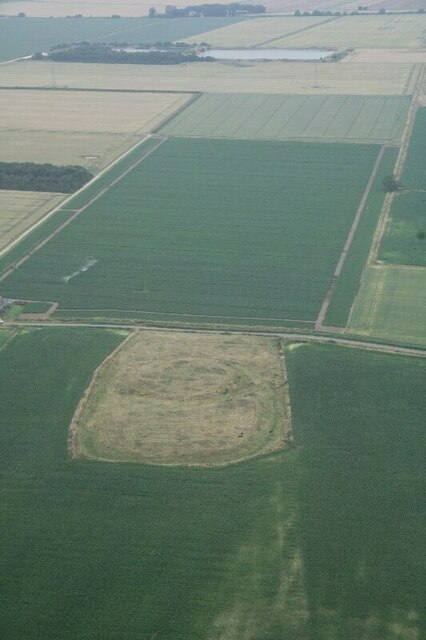
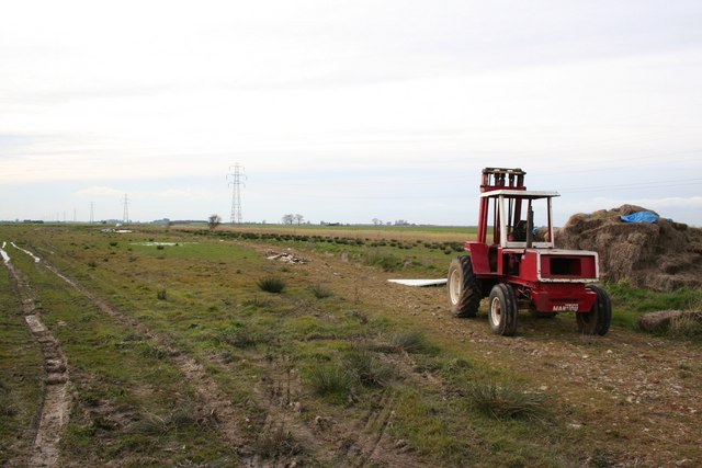
Wrangle Low Ground is a geographical area located in the county of Lincolnshire, England. It is characterized by its flat, low-lying terrain and is situated between the towns of Boston and Spalding. The area comprises a mix of downs and moorland, offering a diverse landscape for visitors and residents alike.

The downs in Wrangle Low Ground are gently rolling hills, covered with grass and occasional patches of shrubs. These hills provide a picturesque view of the surrounding countryside and are a popular spot for outdoor activities such as walking and hiking. The downs also serve as grazing land for livestock, contributing to the rural charm of the area.

In contrast, the moorland in Wrangle Low Ground consists of vast expanses of open, marshy terrain. It is characterized by wet, peaty soil and is dotted with small pools and streams. This unique habitat supports a variety of plant and animal species, including heather, mosses, and various birds. The moorland is a haven for nature enthusiasts and offers opportunities for birdwatching and wildlife photography.

The area is also known for its agricultural importance, with fertile farmlands spread across the low ground. The rich soil and favorable climate make it ideal for crop cultivation, and the fields are often filled with crops such as wheat, barley, and vegetables.

Overall, Wrangle Low Ground offers a mix of downs, moorland, and farmland, creating a harmonious blend of natural beauty and rural charm.

If you have any feedback on the listing, please let us know in the comments section below.

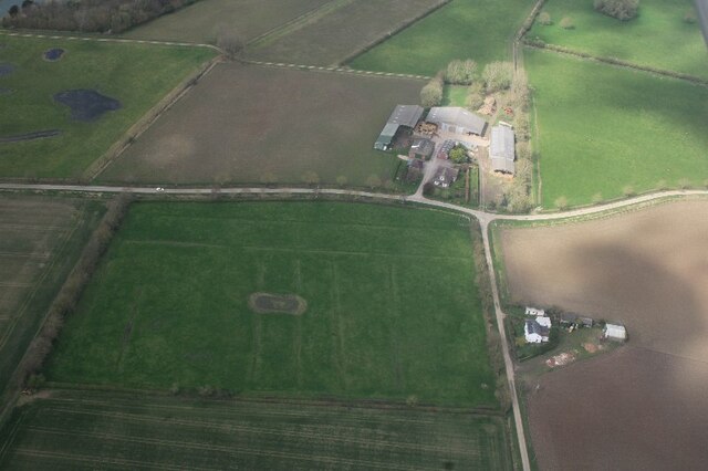
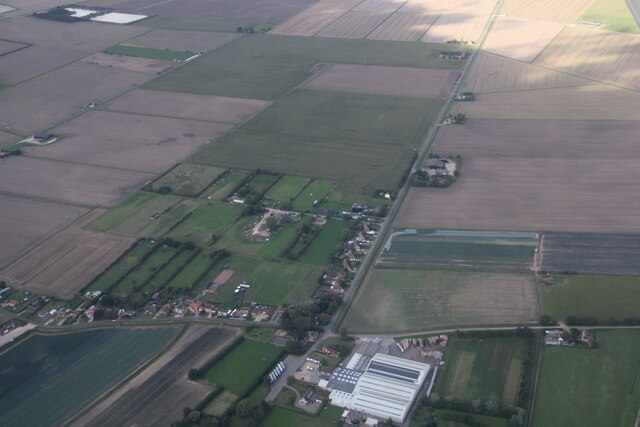
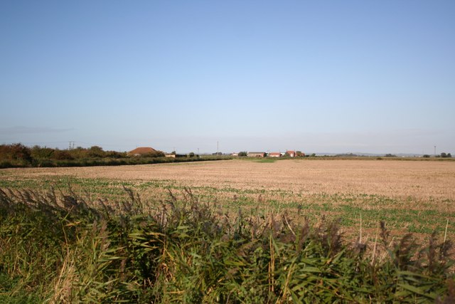
Wrangle Low Ground Images

Images are sourced within 2km of 53.053826/0.13721258 or Grid Reference TF4352. Thanks to Geograph Open Source API. All images are credited.

King's Hill Motte and Bailey, Wrangle Bank: aerial 2021 (1) See <span class="nowrap"><a title="https://www.heritagegateway.org.uk/Gateway/Results_Single.aspx?uid=MLI10036&resourceID=1006" rel="nofollow ugc noopener" href="https://www.heritagegateway.org.uk/Gateway/Results_Single.aspx?uid=MLI10036&resourceID=1006">Link</a><img style="margin-left:2px;" alt="External link" title="External link - shift click to open in new window" src="https://s1.geograph.org.uk/img/external.png" width="10" height="10"/></span>
King's Hill Motte and Bailey, Wrangle Bank: aerial 2021 (1)
See LinkExternal link
King's Hill Motte and Bailey, Wrangle Bank: aerial 2021 (2) See <span class="nowrap"><a title="https://www.heritagegateway.org.uk/Gateway/Results_Single.aspx?uid=MLI10036&resourceID=1006" rel="nofollow ugc noopener" href="https://www.heritagegateway.org.uk/Gateway/Results_Single.aspx?uid=MLI10036&resourceID=1006">Link</a><img style="margin-left:2px;" alt="External link" title="External link - shift click to open in new window" src="https://s1.geograph.org.uk/img/external.png" width="10" height="10"/></span>
King's Hill Motte and Bailey, Wrangle Bank: aerial 2021 (2)
See LinkExternal link
A long shot Another view of Wrangle Mill from Sea Lane. Different month. Different point of view.  <a href="https://www.geograph.org.uk/photo/3784918">TF4351 : Wrangle Mill viewed from Sea Lane</a>
A long shot
Another view of Wrangle Mill from Sea Lane. Different month. Different point of view. TF4351 : Wrangle Mill viewed from Sea Lane
Dylings or daila at junction of Gold Fen Dike Bank and Gateroom Lane, Wrangle Lowgate: aerial 2023 (1) A (medieval) daila was a community-managed pasture rather analogous to an arable open field. Shares were owned and could be passed on to the next generation. 

See <a href="https://www.geograph.org.uk/photo/5362573">TF4352 : Dylings or daila at junction of Gold Fen Dike Bank and Gateroom Lane, Wrangle Lowgate: aerial 2017 (1)</a> for details.
Dylings or daila at junction of Gold Fen Dike Bank and Gateroom Lane, Wrangle Lowgate: aerial 2023 (1)
A (medieval) daila was a community-managed pasture rather analogous to an arable open field. Shares were owned and could be passed on to the next generation. See TF4352 : Dylings or daila at junction of Gold Fen Dike Bank and Gateroom Lane, Wrangle Lowgate: aerial 2017 (1) for details.
Dylings or daila at junction of Gold Fen Dike Bank and Gateroom Lane, Wrangle Lowgate: aerial 2023 (2) Grass field to the right of the farm. A (medieval) daila was a community-managed pasture rather analogous to an arable open field. Shares were owned and could be passed on to the next generation. 

See <a href="https://www.geograph.org.uk/photo/5362573">TF4352 : Dylings or daila at junction of Gold Fen Dike Bank and Gateroom Lane, Wrangle Lowgate: aerial 2017 (1)</a> for details.
Dylings or daila at junction of Gold Fen Dike Bank and Gateroom Lane, Wrangle Lowgate: aerial 2023 (2)
Grass field to the right of the farm. A (medieval) daila was a community-managed pasture rather analogous to an arable open field. Shares were owned and could be passed on to the next generation. See TF4352 : Dylings or daila at junction of Gold Fen Dike Bank and Gateroom Lane, Wrangle Lowgate: aerial 2017 (1) for details.
Flood mark of field, Gold Fen Dike Bank, Wrangle Lowgate: aerial 2023
Bull Drove, Wrangle Bank and China Street: Weangle: aerial 2023
Wrangle - Toft Mill Changed from windpower to an engine driven mill in the 1920's and then stood derelict before being converted into the current dwelling complete with lovely new cap.
Wrangle - Toft Mill
Changed from windpower to an engine driven mill in the 1920's and then stood derelict before being converted into the current dwelling complete with lovely new cap.
Ivy clad oak An alien looking ivy clad oak tree on Common Road north of Wrangle
Ivy clad oak
An alien looking ivy clad oak tree on Common Road north of Wrangle
Wrangle Bank View north from Common Drove, Double Bank
Wrangle Bank
View north from Common Drove, Double Bank
Mill farm from Ivery Lane Flat Lincolnshire fenland in Wrangle parish
Mill farm from Ivery Lane
Flat Lincolnshire fenland in Wrangle parish
Friskney Low Ground View towards Hawthorn Farm across Friskney Low Ground from Ivery Lane
Friskney Low Ground
View towards Hawthorn Farm across Friskney Low Ground from Ivery Lane
Toft Mill Built before 1824, Toft Mill had 4 sails until c1922 <span class="nowrap"><a title="http://www.lincolnshire.gov.uk/windmills/section.asp?catId=3330" rel="nofollow ugc noopener" href="http://www.lincolnshire.gov.uk/windmills/section.asp?catId=3330">Link</a><img style="margin-left:2px;" alt="External link" title="External link - shift click to open in new window" src="https://s1.geograph.org.uk/img/external.png" width="10" height="10"/></span>. It is now converted for holiday accommodation <span class="nowrap"><a title="http://www.toftwindmill.co.uk/" rel="nofollow ugc noopener" href="http://www.toftwindmill.co.uk/">Link</a><img style="margin-left:2px;" alt="External link" title="External link - shift click to open in new window" src="https://s1.geograph.org.uk/img/external.png" width="10" height="10"/></span>
Toft Mill
Built before 1824, Toft Mill had 4 sails until c1922 LinkExternal link. It is now converted for holiday accommodation LinkExternal link
Cragmire Lane On Wrangle Low Ground
Cragmire Lane
On Wrangle Low Ground
Wrangle Low Ground View from Cragmire Lane
Wrangle Low Ground
View from Cragmire Lane
Wrangle Common View from Bull Drove near Gask's Farm
Wrangle Common
View from Bull Drove near Gask's Farm
Wrangle Bank Former chapel, now a private house at Wrangle Bank
Wrangle Bank
Former chapel, now a private house at Wrangle Bank
Love Lane cottage Archetypal Lincolnshire fenland cottage on Love Lane, Wrangle Bank
Love Lane cottage
Archetypal Lincolnshire fenland cottage on Love Lane, Wrangle Bank
Show me another place!

Wrangle Low Ground is located at Grid Ref: TF4352 (Lat: 53.053826, Lng: 0.13721258)

Administrative County: Lincolnshire

District: Boston

Police Authority: Lincolnshire

What 3 Words

///shall.condense.greed. Near Old Leake, Lincolnshire

Nearby Locations

Wrangle Low Ground

Related Wikis

Wrangle, Lincolnshire

Wrangle is a village in the Boston Borough of Lincolnshire, England. It is situated approximately 9 miles (14 km) north-east from the town of Boston. The...

Old Leake

Old Leake is a village and civil parish in Lincolnshire, England. The population of the civil parish at the 2011 census was 2,022.Old Leake is situated...

Giles Academy

The Giles Academy (formerly the Giles School) is a mixed secondary school located in Old Leake in the English county of Lincolnshire. == History == Giles...

Friskney

Friskney is a village and civil parish within the East Lindsey district of Lincolnshire, England.The parish includes the settlement of Friskney Eaudyke...

East Ville railway station

East Ville was a railway station on the East Lincolnshire Railway which served the village of Eastville in Lincolnshire between 1848 and 1964. It originally...

Eastville, Lincolnshire

Eastville, a village in the East Lindsey district of Lincolnshire, England. It is situated approximately 9 miles (14 km) north-east from Boston and 6 miles...

Friskney Eaudyke

Friskney Eaudyke is a settlement in the civil parish of Friskney, and the East Lindsey district of Lincolnshire, England. It is 11 miles (20 km) north...

RAF Wainfleet

RAF Wainfleet was a Royal Air Force weapons range on The Wash on the east coast of England near Wainfleet, in the civil parish of Friskney, although the...

Nearby Amenities

Located within 500m of 53.053826,0.13721258
Brickyard Farm
Place: farm
Source: Bing
Lat/Long: 53.0528147/0.1441242
Wrangle Low Ground
Place: locality
Source: Bing
Lat/Long: 53.0535224/0.1314044
The data included in this document is from www.openstreetmap.org. The data is made available under ODbL.

Have you been to Wrangle Low Ground?

Leave your review of Wrangle Low Ground below (or comments, questions and feedback).