Lowgate Field
Downs, Moorland in Lincolnshire South Holland
England
Lowgate Field
Lowgate Field is a picturesque expanse of land located in Lincolnshire, England. Spanning over several acres, this vast area offers a diverse landscape consisting of downs and moorland. The field is surrounded by rolling hills and is known for its natural beauty and tranquil ambiance.
The downs section of Lowgate Field features gentle slopes and is characterized by its short grasses and abundance of wildflowers. The area is ideal for leisurely walks and picnics, providing visitors with breathtaking panoramic views of the surrounding countryside. The downs also serve as a habitat for various species of birds and butterflies, making it a popular spot for birdwatchers and nature enthusiasts.
On the other hand, the moorland section of Lowgate Field offers a stark contrast with its rugged terrain and heather-covered hills. This part of the field is home to a variety of plant and animal species that thrive in the unique ecological conditions. Visitors can explore the moorland by following designated trails, immersing themselves in the untouched beauty of the landscape.
Lowgate Field attracts visitors year-round, offering a peaceful retreat away from the hustle and bustle of city life. Whether it is for a leisurely stroll, a family picnic, or an opportunity to connect with nature, this idyllic location provides a serene setting for all. The field is easily accessible, with designated parking areas and well-maintained paths throughout.
If you have any feedback on the listing, please let us know in the comments section below.
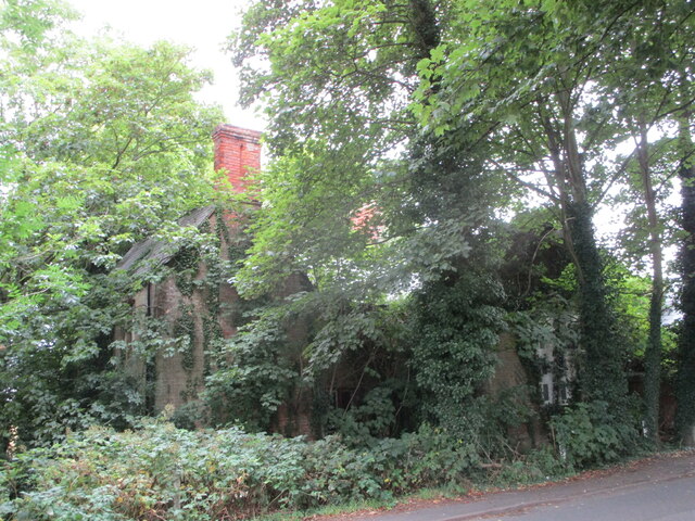
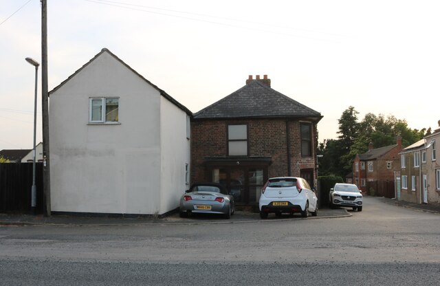
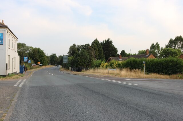
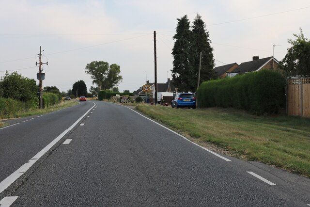
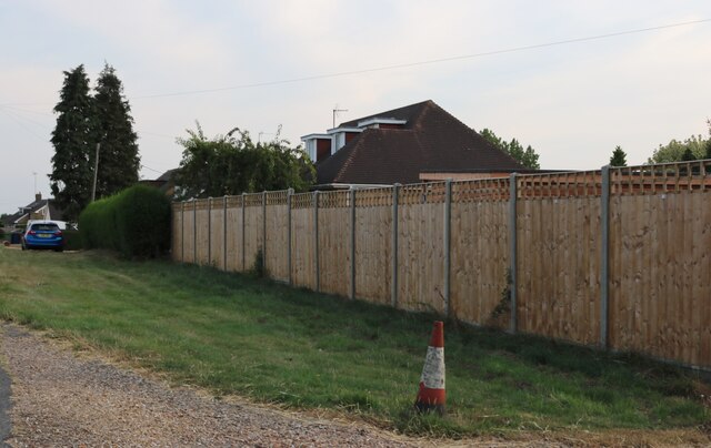
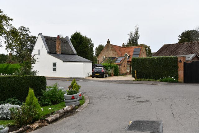
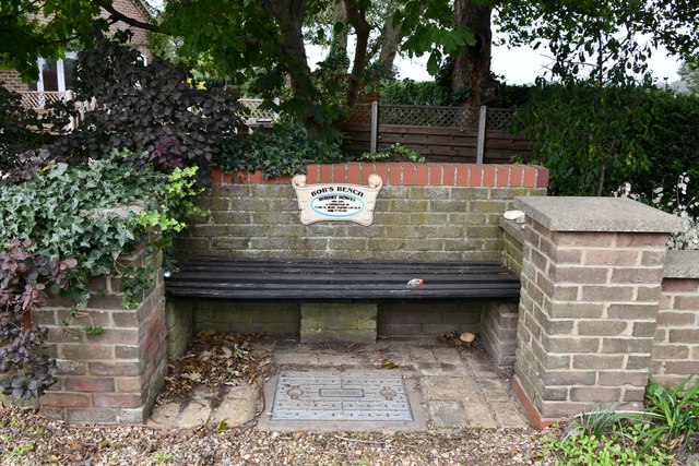
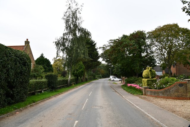
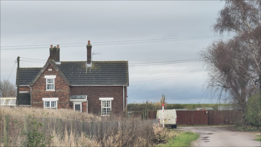
Lowgate Field Images
Images are sourced within 2km of 52.736015/0.12145301 or Grid Reference TF4317. Thanks to Geograph Open Source API. All images are credited.


Lowgate Field is located at Grid Ref: TF4317 (Lat: 52.736015, Lng: 0.12145301)
Administrative County: Lincolnshire
District: South Holland
Police Authority: Lincolnshire
What 3 Words
///appetite.reconnect.midfield. Near West Walton, Norfolk
Nearby Locations
Related Wikis

Tydd St Giles
Tydd St Giles is a village in Fenland, Cambridgeshire, England. It is the northernmost village in the Isle of Ely, Cambridgeshire (bordering Lincolnshire...

Tydd St Mary
Tydd St Mary is a village and civil parish in the South Holland district of Lincolnshire, England, about 9 miles (14 km) east of the town of Spalding and...
Four Gotes
Four Gotes is a hamlet in the civil parish of Tydd St Giles in Cambridgeshire, England. The population is included in the civil parish of Leverington....

Tydd Gote
Tydd Gote is an English village, partly, at the north, in the civil parish of Tydd St Mary of the South Holland District of Lincolnshire, and partly, at...

Newton-in-the-Isle
Newton-in-the-Isle is a village and civil parish in the Fenland District of the Isle of Ely, Cambridgeshire, England, The village is 4 miles (6 km) to...
Tydd railway station
Tydd railway station was a station, opened by the Peterborough, Wisbech and Sutton Bridge Railway on 1 August 1866, in Lincolnshire serving the villages...

Sutton St James
Sutton St James is a village and civil parish in the South Holland district of Lincolnshire, England, about four miles (6.4 km) south-west of Long Sutton...
Ferry railway station
Ferry railway station was a railway station in Newton-in-the-Isle, Cambridgeshire. It was on the Midland and Great Northern Joint Railway between Sutton...
Nearby Amenities
Located within 500m of 52.736015,0.12145301Have you been to Lowgate Field?
Leave your review of Lowgate Field below (or comments, questions and feedback).