Badgeney
Downs, Moorland in Cambridgeshire Fenland
England
Badgeney
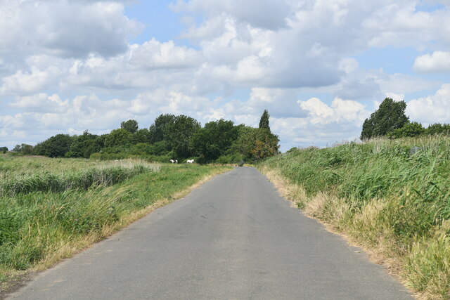
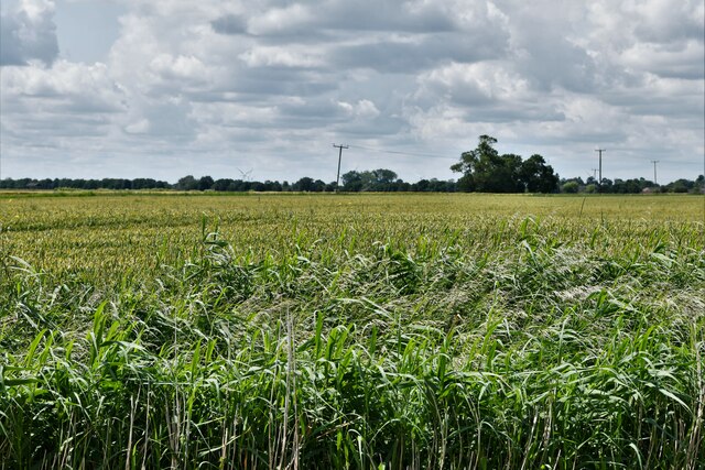
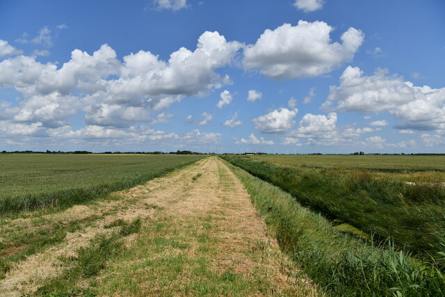
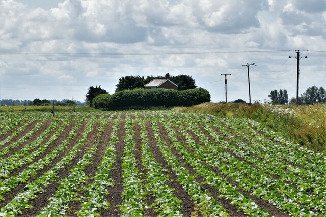
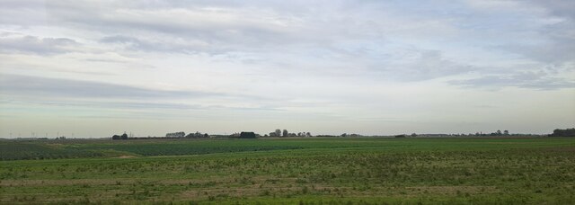
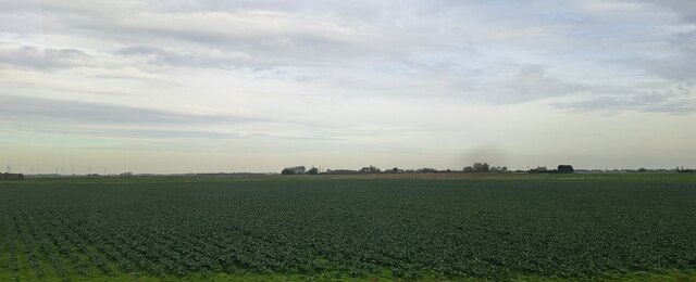
Badgeney is a small rural area located in the county of Cambridgeshire, England. Situated on a low-lying land, it is surrounded by beautiful open Downs and Moorland landscapes. The area is known for its picturesque views, with rolling hills and vast stretches of greenery.
The Downs in Badgeney offer visitors stunning panoramic views of the surrounding countryside. These grassy hills are perfect for leisurely walks, picnics, and outdoor activities. The Moorland in the area is characterized by its wet and marshy terrain, attracting a variety of bird species and wildlife.
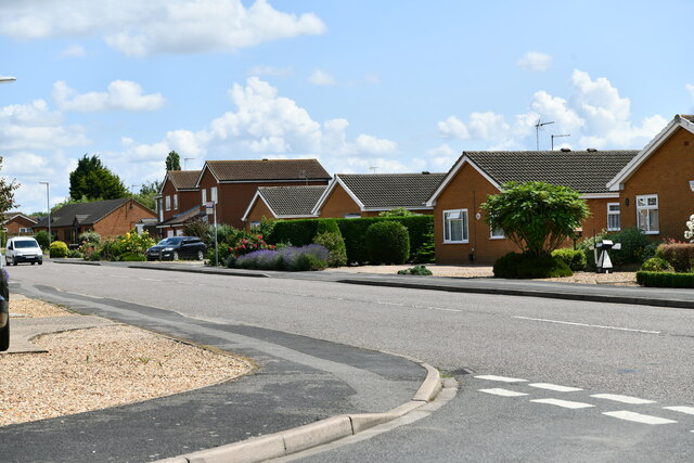
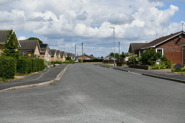
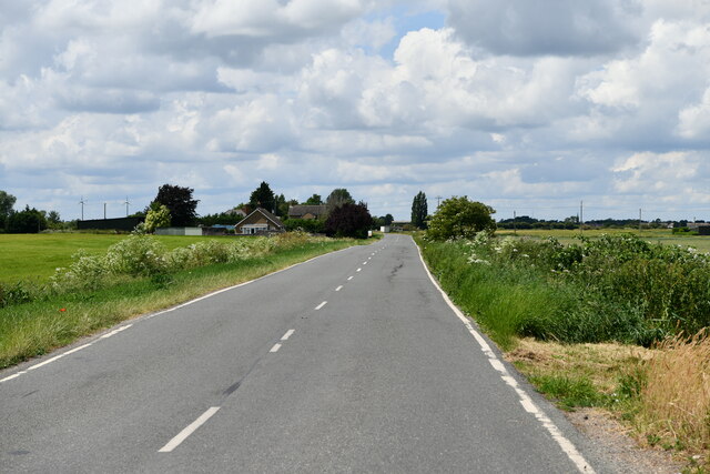
The village of Badgeney itself is a tight-knit community with a population of approximately 500 residents. It is a peaceful and tranquil place, often visited by nature enthusiasts and those seeking a break from the hustle and bustle of city life.
The village is dotted with charming cottages and traditional buildings, giving it a quaint and idyllic feel. The local pub, The Badgeney Arms, is a popular spot for locals and visitors alike, offering a warm and friendly atmosphere.
Badgeney is well-connected to nearby towns and cities, making it easily accessible for those wishing to explore the wider area. Its proximity to the city of Cambridge, known for its prestigious university and historical landmarks, makes it an attractive destination for tourists.
Overall, Badgeney offers a serene and scenic escape for those looking to immerse themselves in the natural beauty of the Cambridgeshire countryside.
If you have any feedback on the listing, please let us know in the comments section below.
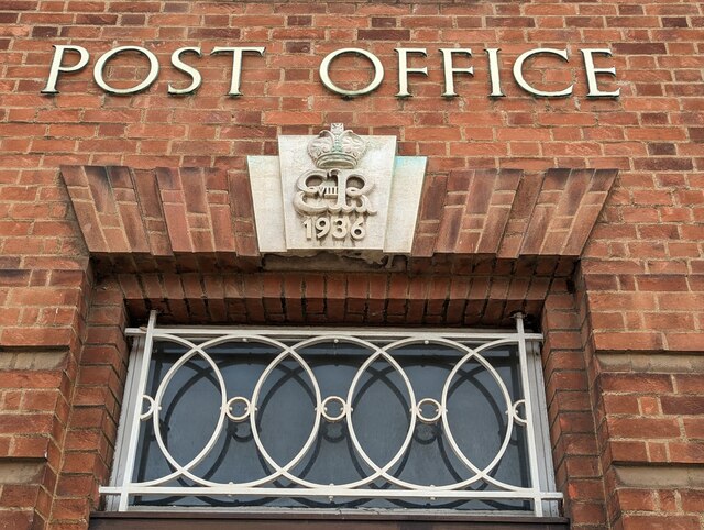
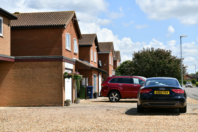
Badgeney Images
Images are sourced within 2km of 52.550445/0.11030732 or Grid Reference TL4396. Thanks to Geograph Open Source API. All images are credited.
Badgeney is located at Grid Ref: TL4396 (Lat: 52.550445, Lng: 0.11030732)
Division: Isle of Ely
Administrative County: Cambridgeshire
District: Fenland
Police Authority: Cambridgeshire
What 3 Words
///frog.waged.professes. Near March, Cambridgeshire
Nearby Locations
Related Wikis

Dunhams Wood
Dunhams Wood is a privately owned broadleaved woodland that is occasionally open to the public. The area was planted over a period of 6 years starting...

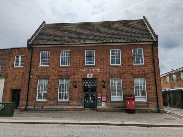
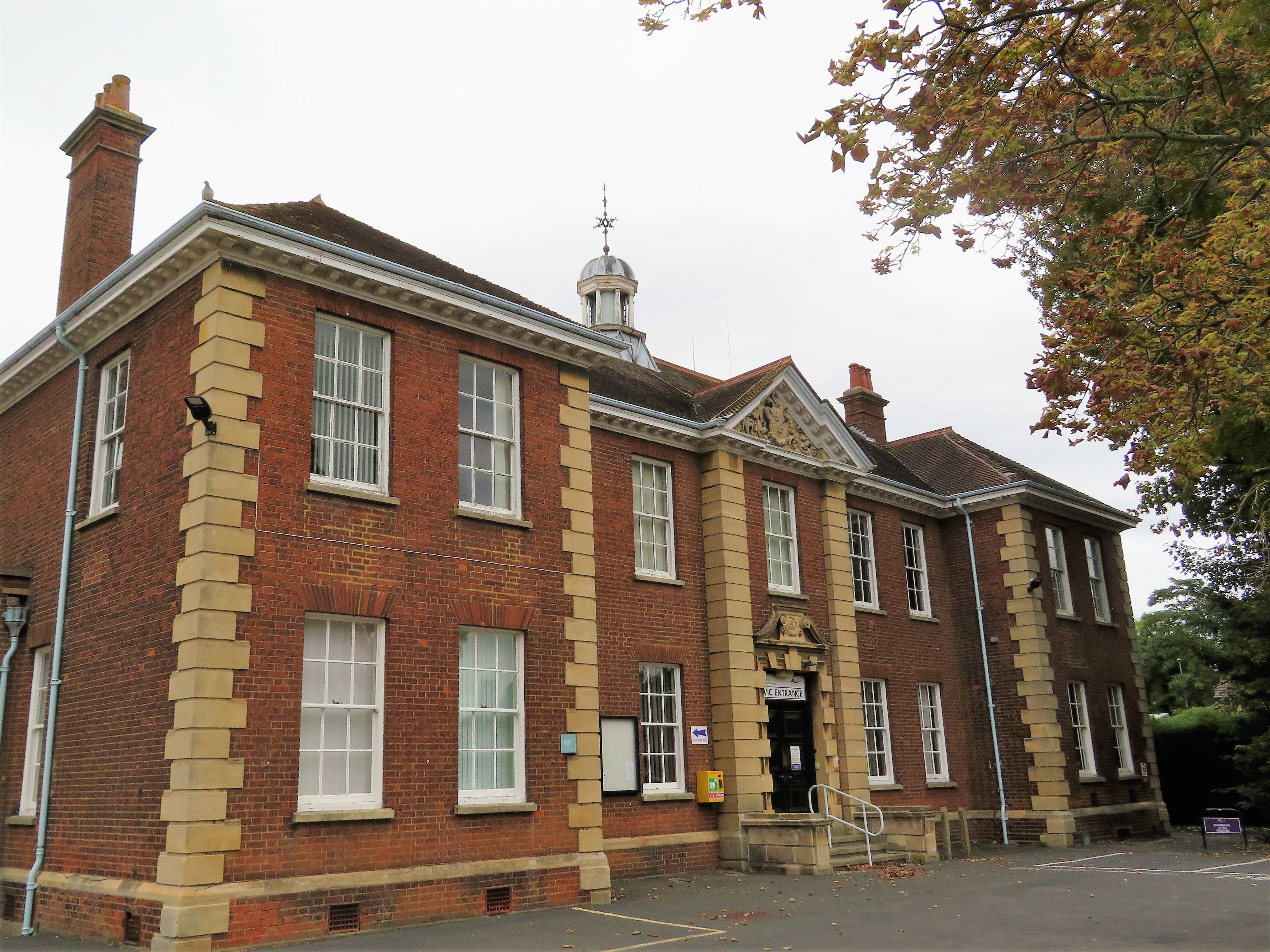
March Town Hall
March Town Hall is a municipal building in the Market Square in March, Cambridgeshire, England. The building, which was the headquarters of March Urban...

March, Cambridgeshire
March is a Fenland market town and civil parish in the Isle of Ely area of Cambridgeshire, England. It was the county town of the Isle of Ely which was...
Fenland Hall, March
Fenland Hall is a municipal building on County Road, March, Cambridgeshire, England, which serves as the headquarters of Fenland District Council. The...
March Town United F.C.
March Town United Football Club is a football club based in March, Cambridgeshire, England. They are currently members of the United Counties League Premier...

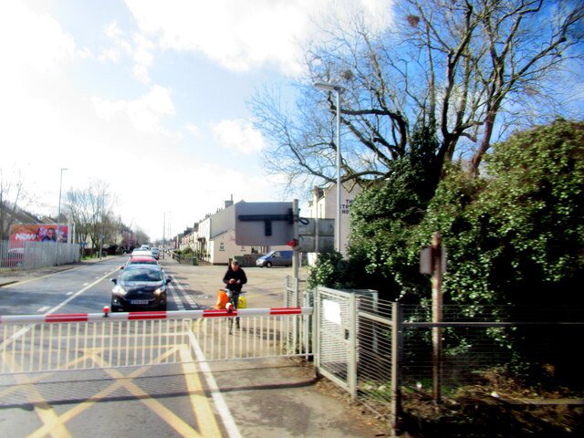
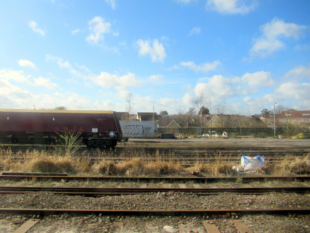
March railway station
March railway station is on the Ely–Peterborough line in the east of England and serves the market town of March, Cambridgeshire. It is 85 miles 76 chains...

Norwood Road
Norwood Road is a 2.6-hectare (6.4-acre) nature reserve in March in Cambridgeshire. It is managed by the Wildlife Trust for Bedfordshire, Cambridgeshire...
Norwood Road nature reserve
Norwood Road is a nature reserve managed by the Wildlife Trust for Bedfordshire, Cambridgeshire, Northamptonshire and Peterborough. It lies in the centre...
Nearby Amenities
Located within 500m of 52.550445,0.11030732Have you been to Badgeney?
Leave your review of Badgeney below (or comments, questions and feedback).