Little North Fen

Downs, Moorland in Cambridgeshire South Cambridgeshire

England

Little North Fen

Rampton, All Saints <span class="nowrap"><a title="http://www.druidic.org/camchurch/churches/rampton.htm" rel="nofollow ugc noopener" href="http://www.druidic.org/camchurch/churches/rampton.htm">Link</a><img style="margin-left:2px;" alt="External link" title="External link - shift click to open in new window" src="https://s1.geograph.org.uk/img/external.png" width="10" height="10"/></span>
Rampton, All Saints Credit: mym

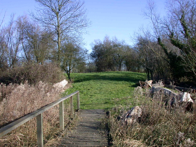
Little North Fen is a small area located in Cambridgeshire, England. It is known for its unique combination of downs and moorland, creating a diverse and enchanting landscape. The fen is situated in close proximity to the larger North Fen, which contributes to its name.

The downs of Little North Fen are characterized by gently rolling hills, covered in lush grasses and scattered with low-lying shrubs. This terrain provides a picturesque backdrop and offers stunning views of the surrounding countryside. The downs also support a variety of plant species, including wildflowers such as harebells and cowslips, adding vibrant splashes of color to the landscape.

In contrast, the moorland of Little North Fen is characterized by wet and boggy terrain, with patches of heather and mosses. This habitat attracts a range of bird species, including lapwings and curlews, which nest and forage in the area. The moorland also provides a home for small mammals, such as voles and shrews, as well as reptiles like adders and grass snakes.

Little North Fen is a haven for nature enthusiasts, offering ample opportunities for walking, birdwatching, and wildlife photography. The area is also of historical interest, with evidence of human settlement dating back to the Neolithic period. Overall, Little North Fen is a place of ecological significance, where the natural beauty of downs and moorland combine to create a captivating and diverse landscape.

If you have any feedback on the listing, please let us know in the comments section below.

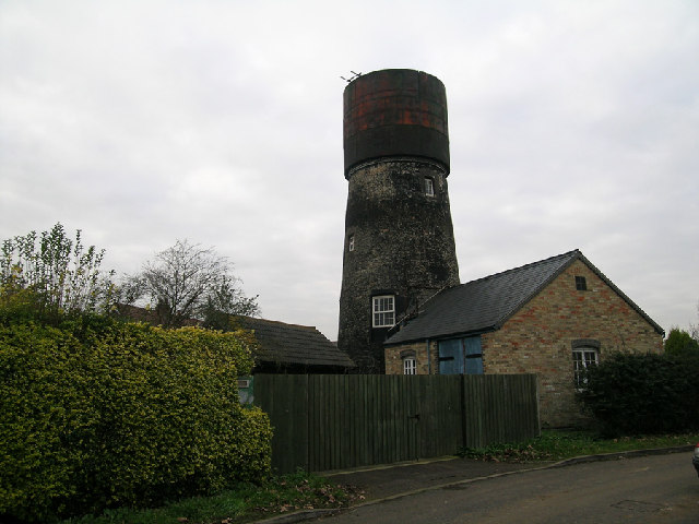
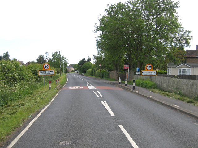
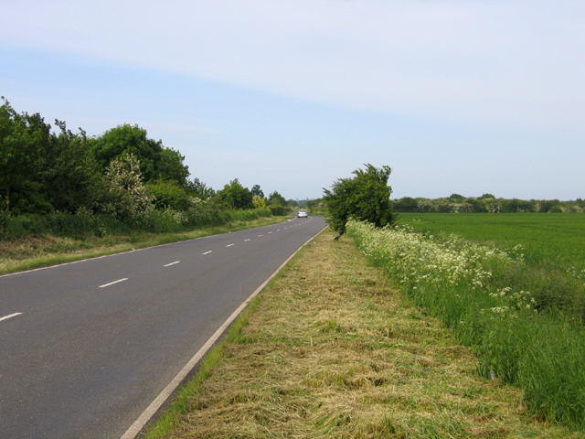
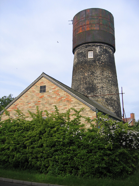
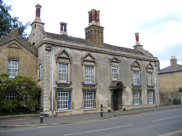
Little North Fen Images

Images are sourced within 2km of 52.286816/0.096391581 or Grid Reference TL4367. Thanks to Geograph Open Source API. All images are credited.

Rampton, All Saints <span class="nowrap"><a title="http://www.druidic.org/camchurch/churches/rampton.htm" rel="nofollow ugc noopener" href="http://www.druidic.org/camchurch/churches/rampton.htm">Link</a><img style="margin-left:2px;" alt="External link" title="External link - shift click to open in new window" src="https://s1.geograph.org.uk/img/external.png" width="10" height="10"/></span>
Rampton, All Saints
Converted water tower in Cottenham, Cambridgeshire Brick tower mill converted to water tower with riveted steel tank. Apparently (3/05) undergoing second conversion. Mill was used for the processing of cereals from 1843 until 1898. The cap of the mill was then removed and from 1904 the building had been used as a water tower. 1903 photo is in the NMR.
Converted water tower in Cottenham, Cambridgeshire
Brick tower mill converted to water tower with riveted steel tank. Apparently (3/05) undergoing second conversion. Mill was used for the processing of cereals from 1843 until 1898. The cap of the mill was then removed and from 1904 the building had been used as a water tower. 1903 photo is in the NMR.
The Black Horse, Rampton CB4 Dating from 1851, or earlier.
The Black Horse, Rampton CB4
Dating from 1851, or earlier.
Little North Fen, Cottenham CB4 Little North fen, west of Cottenham village, was recorded as early as 1330.
Little North Fen, Cottenham CB4
Little North fen, west of Cottenham village, was recorded as early as 1330.
Entrance to Cottenham, Cambs along the B1049 Histon Road.
Entrance to Cottenham, Cambs
along the B1049 Histon Road.
Oakington Road, Cottenham, Cambs – view towards Westwick as the road crosses Further or Farm Field.
Oakington Road, Cottenham, Cambs
– view towards Westwick as the road crosses Further or Farm Field.
Windmill turned water tower, Cottenham, Cambs – view from Manse Drive.
Windmill turned water tower, Cottenham, Cambs
– view from Manse Drive.
Rampton Bridge, Cambs spanning the Westwick Brook, taken from the footpath forming the parish boundary between Rampton and Cottenham.
Rampton Bridge, Cambs
spanning the Westwick Brook, taken from the footpath forming the parish boundary between Rampton and Cottenham.
New Cut drain, Cottenham, Cambs at the bend where it heads across the North Fen.
New Cut drain, Cottenham, Cambs
at the bend where it heads across the North Fen.
Reynolds' Drove, Rampton, Cambs a public byway crossing Brook Field, from Cuckoo Lane towards Longstanton.
Reynolds' Drove, Rampton, Cambs
a public byway crossing Brook Field, from Cuckoo Lane towards Longstanton.
Cottages by The Green, Rampton, Cambs
Corrugated metal roof, Rampton, Cambs on the south side of King Street.
Corrugated metal roof, Rampton, Cambs
on the south side of King Street.
Cottages by The Green, Rampton, Cambs No. 19 and 20, built in 1902.
Cottages by The Green, Rampton, Cambs
No. 19 and 20, built in 1902.
Free Church Mission Hall, Rampton, Cambs erected 1902 on the corner of High Street and Cow Lane.
Free Church Mission Hall, Rampton, Cambs
erected 1902 on the corner of High Street and Cow Lane.
Parish pump, Rampton, Cambs located on The Green.
Parish pump, Rampton, Cambs
located on The Green.
Farm in Little Field, Rampton, Cambs beside Rampton Road bend.
Farm in Little Field, Rampton, Cambs
beside Rampton Road bend.
Nether Irams Fen, Rampton, Cambs A drain forming the parish boundary with Willingham, on the right (north).
Nether Irams Fen, Rampton, Cambs
A drain forming the parish boundary with Willingham, on the right (north).
Gothic House, Cottenham, Cambs an individual and distinctive building in a prominent location on the High Street (No. 220).
Gothic House, Cottenham, Cambs
an individual and distinctive building in a prominent location on the High Street (No. 220).
Show me another place!

Little North Fen is located at Grid Ref: TL4367 (Lat: 52.286816, Lng: 0.096391581)

Administrative County: Cambridgeshire

District: South Cambridgeshire

Police Authority: Cambridgeshire

What 3 Words

///kickbacks.remotest.forms. Near Cottenham, Cambridgeshire

Nearby Locations

Little North Fen

Related Wikis

Rampton Castle

Rampton Castle, known locally as Giant's Hill, is the earthwork remains of a motte and bailey castle in Rampton, Cambridgeshire. It is believed that the...

Rampton, Cambridgeshire

Rampton is a village in Cambridgeshire, England, situated on the edge of The Fens six miles to the north of Cambridge. == History == The edge of the Fens...

Cottenham

Cottenham is a village in Cambridgeshire, England. Cottenham is one of the larger villages surrounding the city of Cambridge, located around five miles...

Cottenham Village College

Cottenham Village College is an academy school located in Cottenham, Cambridgeshire, England. The school offers secondary education to pupils from the...

Northstowe Secondary College

Northstowe Secondary College is a co-educational secondary school and sixth form located in Northstowe in the English county of Cambridgeshire.The school...

Westwick, Cambridgeshire

Westwick is a hamlet and former civil parish, now in the parish of Oakington and Westwick, in the South Cambridgeshire district, in the county of Cambridgeshire...

Northstowe

Northstowe is a new town that will eventually have up to 10,000 homes, with an anticipated population of 24,400 in Cambridgeshire, England, UK. On 1 April...

Oakington Immigration Reception Centre

Oakington Immigration Reception Centre was an immigration detention centre located in Cambridgeshire run by UK Visas and Immigration. Originally a World...

Nearby Amenities

Located within 500m of 52.286816,0.096391581
Design: h-frame
Line Attachment: anchor
Material: wood
Power: tower
Source Position: bing
Lat/Long: 52.284767/0.0934695
Design: h-frame
Material: wood
Power: tower
Source: survey
Source Position: bing
Lat/Long: 52.2884062/0.1003414
Design: h-frame
Material: wood
Power: tower
Source: survey
Source Position: bing
Lat/Long: 52.2856744/0.0952183
Design: h-frame
Material: wood
Power: tower
Source: bing
Lat/Long: 52.2833248/0.0930671
Design: h-frame
Material: wood
Power: tower
Source: survey
Source Position: bing
Lat/Long: 52.287494/0.0986408
Design: h-frame
Material: wood
Power: tower
Source: survey
Source Position: bing
Lat/Long: 52.2893233/0.1020821
Design: h-frame
Material: wood
Power: tower
Source: survey
Source Position: bing
Lat/Long: 52.2865801/0.0969616
Power: pole
Lat/Long: 52.2901131/0.0950071
Power: pole
Lat/Long: 52.289814/0.0996493
Power: pole
Lat/Long: 52.2902422/0.0929962
Power: pole
Lat/Long: 52.2901651/0.0942339
Power: pole
Lat/Long: 52.2897024/0.1013284
Power: pole
Lat/Long: 52.2899819/0.0968337
Power: pole
Lat/Long: 52.2899261/0.0979709
Power: pole
Lat/Long: 52.2903176/0.0917824
Barrier: kissing_gate
Kissing Gate: square_profile
Wheelchair: no
Lat/Long: 52.2910575/0.0974698
The data included in this document is from www.openstreetmap.org. The data is made available under ODbL.

Have you been to Little North Fen?

Leave your review of Little North Fen below (or comments, questions and feedback).