Barton Field
Downs, Moorland in Lincolnshire South Holland
England
Barton Field
Barton Field, located in Lincolnshire, England, is a vast expanse of land that encompasses both downs and moorland. It is a picturesque area with diverse natural beauty and is popular among locals and tourists alike.
The downs of Barton Field are characterized by rolling hills and wide open spaces. The landscape is dotted with patches of grassland and scattered trees, providing a serene atmosphere for visitors to enjoy. The downs offer breathtaking panoramic views of the surrounding countryside, making it a sought-after spot for hikers and nature enthusiasts.
On the other hand, the moorland in Barton Field is characterized by its rugged terrain and heather-covered hills. The moorland provides a unique habitat for various plant and animal species. Visitors can explore the moorland by following well-marked trails, which offer an opportunity to witness the area's diverse wildlife, including birds, rabbits, and occasionally deer.
Barton Field is also known for its rich history. The area has several archaeological sites, including ancient burial mounds and Roman ruins, which attract history buffs and researchers. The field has witnessed human settlement dating back thousands of years, and artifacts discovered in the area provide valuable insights into the region's past.
In addition to its natural beauty and historical significance, Barton Field offers recreational activities such as picnicking, horseback riding, and birdwatching. The area is well-maintained, with designated parking areas and facilities for visitors' convenience.
Overall, Barton Field in Lincolnshire is a captivating destination, offering a blend of stunning landscapes, historical sites, and recreational opportunities for people of all ages to enjoy.
If you have any feedback on the listing, please let us know in the comments section below.
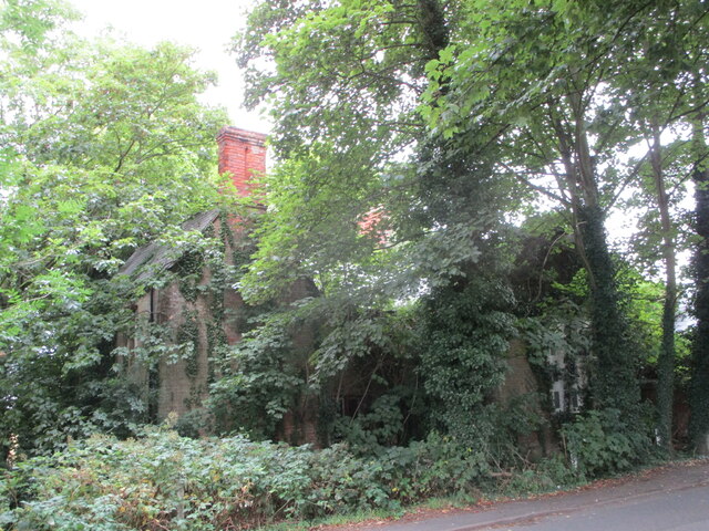
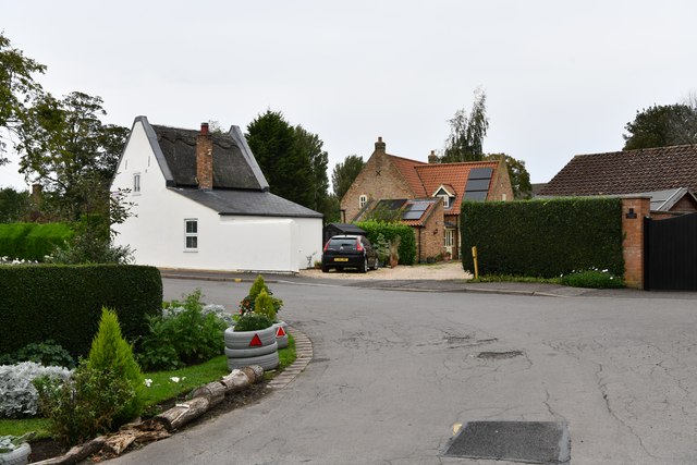
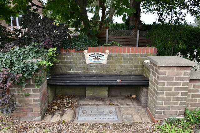
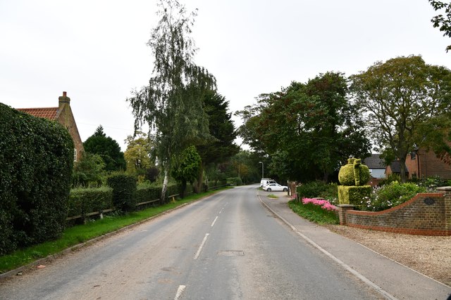
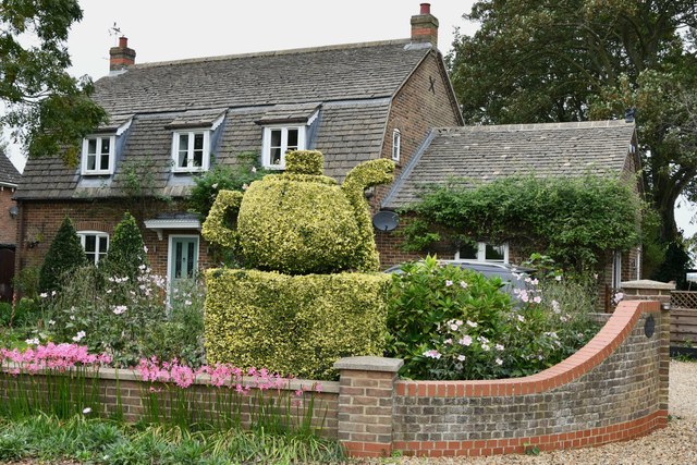
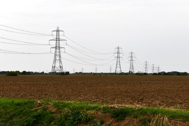
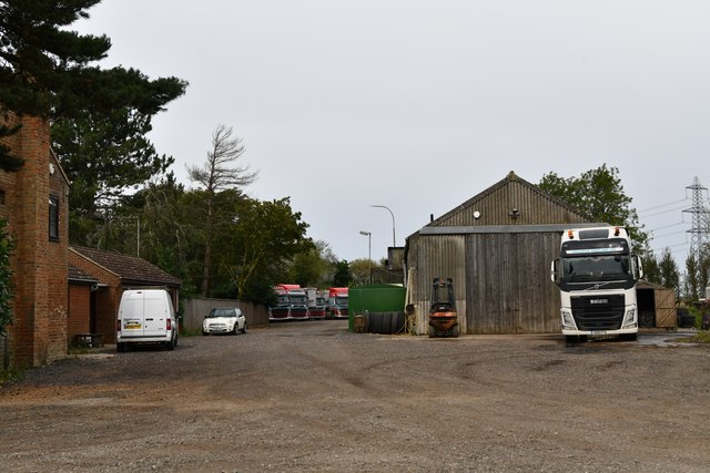
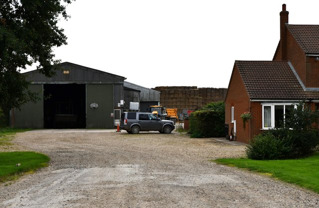
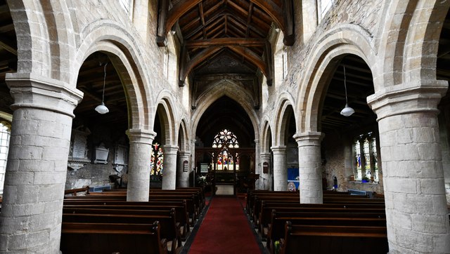
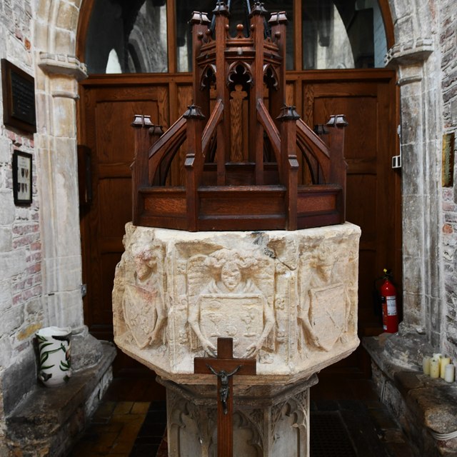
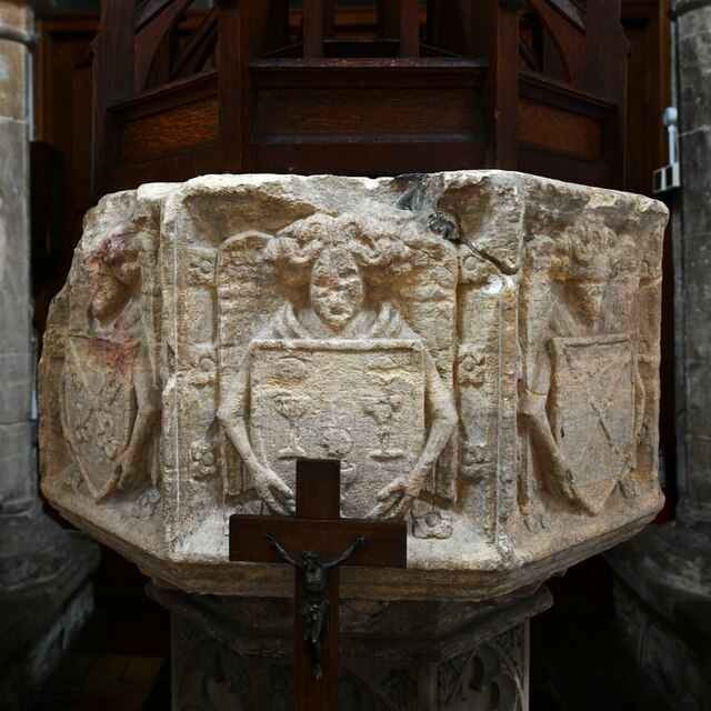
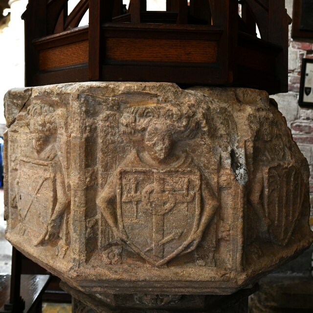
Barton Field Images
Images are sourced within 2km of 52.740206/0.11537527 or Grid Reference TF4217. Thanks to Geograph Open Source API. All images are credited.


Barton Field is located at Grid Ref: TF4217 (Lat: 52.740206, Lng: 0.11537527)
Administrative County: Lincolnshire
District: South Holland
Police Authority: Lincolnshire
What 3 Words
///dairies.following.yourself. Near Sutton Bridge, Lincolnshire
Nearby Locations
Related Wikis

Tydd St Giles
Tydd St Giles is a village in Fenland, Cambridgeshire, England. It is the northernmost village in the Isle of Ely, Cambridgeshire (bordering Lincolnshire...

Tydd St Mary
Tydd St Mary is a village and civil parish in the South Holland district of Lincolnshire, England, about 9 miles (14 km) east of the town of Spalding and...
Four Gotes
Four Gotes is a hamlet in the civil parish of Tydd St Giles in Cambridgeshire, England. The population is included in the civil parish of Leverington....

Tydd Gote
Tydd Gote is an English village, partly, at the north, in the civil parish of Tydd St Mary of the South Holland District of Lincolnshire, and partly, at...

Sutton St James
Sutton St James is a village and civil parish in the South Holland district of Lincolnshire, England, about four miles (6.4 km) south-west of Long Sutton...

Newton-in-the-Isle
Newton-in-the-Isle is a village and civil parish in the Fenland District of the Isle of Ely, Cambridgeshire, England, The village is 4 miles (6 km) to...
Tydd railway station
Tydd railway station was a station, opened by the Peterborough, Wisbech and Sutton Bridge Railway on 1 August 1866, in Lincolnshire serving the villages...

Grange Farm Arboretum
The Grange Farm Arboretum is a small private arboretum comprising 3 hectares accommodating over 800 trees, mostly native and ornamental species or cultivars...
Nearby Amenities
Located within 500m of 52.740206,0.11537527Have you been to Barton Field?
Leave your review of Barton Field below (or comments, questions and feedback).