Roderwick Field
Downs, Moorland in Lincolnshire South Holland
England
Roderwick Field
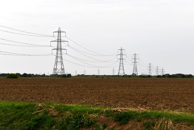
Roderwick Field, located in Lincolnshire, is a picturesque area encompassing both downs and moorland landscapes. Spanning approximately 100 acres, this natural expanse is situated in the heart of the county, offering visitors a breathtaking and diverse experience.
The downs of Roderwick Field are characterized by gently rolling hills and expansive grasslands. The area boasts an array of vibrant wildflowers, creating a colorful tapestry during the spring and summer months. These downs provide a serene backdrop for leisurely walks, picnics, and other outdoor activities. Visitors can enjoy the peace and tranquility of the surroundings, while taking in panoramic views of the surrounding countryside.
In contrast, the moorland section of Roderwick Field presents a wilder and more rugged environment. Here, visitors can explore vast stretches of heather-covered terrain, interspersed with rocky outcrops and small streams. The moorland is home to a variety of wildlife, including birds of prey, deer, and rare species of plants. Nature enthusiasts will find ample opportunities for birdwatching, photography, and nature walks.
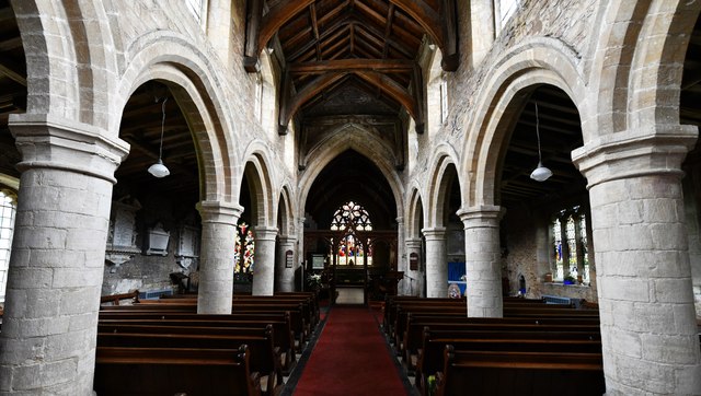
Roderwick Field is also notable for its rich historical heritage. The area is scattered with remnants of ancient settlements, including burial mounds and stone circles, offering a glimpse into the region's past. Moreover, the field is crisscrossed by a network of walking trails, allowing visitors to easily explore the various features and landmarks.
Overall, Roderwick Field in Lincolnshire is a natural gem, blending downs and moorland landscapes to create a captivating and diverse environment. Whether one seeks a peaceful escape or an adventure in nature, this area promises an unforgettable experience.
If you have any feedback on the listing, please let us know in the comments section below.
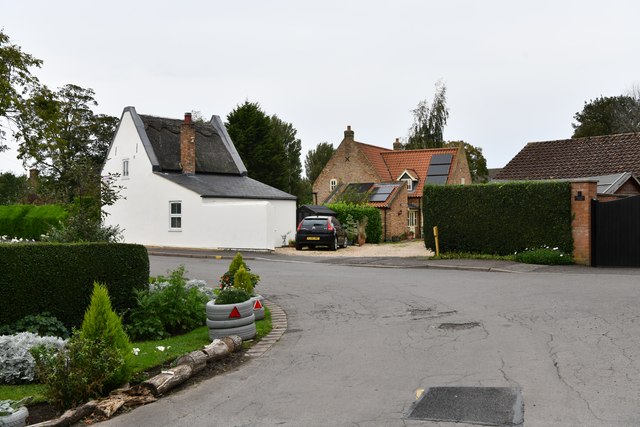
Roderwick Field Images
Images are sourced within 2km of 52.750954/0.11466609 or Grid Reference TF4219. Thanks to Geograph Open Source API. All images are credited.


Roderwick Field is located at Grid Ref: TF4219 (Lat: 52.750954, Lng: 0.11466609)
Administrative County: Lincolnshire
District: South Holland
Police Authority: Lincolnshire
What 3 Words
///models.entitles.victory. Near Sutton Bridge, Lincolnshire
Nearby Locations
Related Wikis

Tydd St Mary
Tydd St Mary is a village and civil parish in the South Holland district of Lincolnshire, England, about 9 miles (14 km) east of the town of Spalding and...

Tydd St Giles
Tydd St Giles is a village in Fenland, Cambridgeshire, England. It is the northernmost village in the Isle of Ely, Cambridgeshire (bordering Lincolnshire...

Tydd Gote
Tydd Gote is an English village, partly, at the north, in the civil parish of Tydd St Mary of the South Holland District of Lincolnshire, and partly, at...

Low Fulney
Low Fulney is a hamlet in the South Holland district of Lincolnshire, England. It is in the Spalding St. Paul's ward of the South Holland District Council...
Four Gotes
Four Gotes is a hamlet in the civil parish of Tydd St Giles in Cambridgeshire, England. The population is included in the civil parish of Leverington....

Sutton St James
Sutton St James is a village and civil parish in the South Holland district of Lincolnshire, England, about four miles (6.4 km) south-west of Long Sutton...
Long Sutton railway station
Long Sutton railway station was a station in Long Sutton, Lincolnshire, England. It was part of the Midland and Great Northern Joint Railway which closed...
Tydd railway station
Tydd railway station was a station, opened by the Peterborough, Wisbech and Sutton Bridge Railway on 1 August 1866, in Lincolnshire serving the villages...
Nearby Amenities
Located within 500m of 52.750954,0.11466609Have you been to Roderwick Field?
Leave your review of Roderwick Field below (or comments, questions and feedback).