Gaul Field
Downs, Moorland in Cambridgeshire Fenland
England
Gaul Field
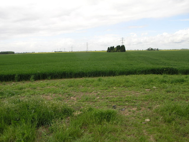
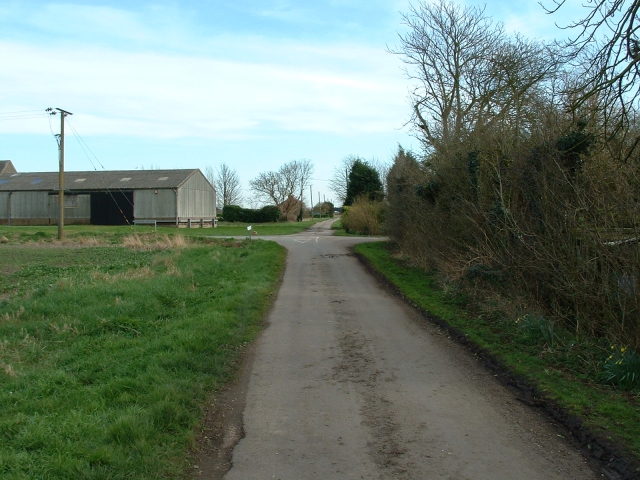
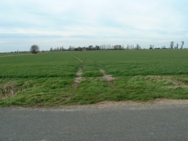
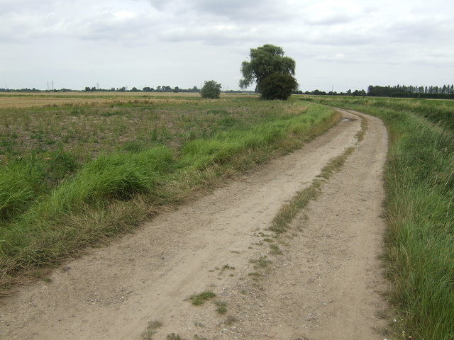
Gaul Field is a picturesque area located in Cambridgeshire, England, known for its stunning downs and moorland landscapes. Spread across a vast expanse, the field offers a serene and peaceful environment for visitors to enjoy the beauty of nature.
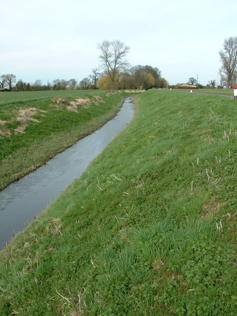
The downs of Gaul Field are characterized by their rolling hills and open grasslands, providing uninterrupted views of the surrounding countryside. These downs are adorned with vibrant wildflowers during the spring and summer months, attracting a variety of birds and insects. The gentle slopes make it a popular spot for leisurely walks and picnics, allowing visitors to immerse themselves in the tranquility of the surroundings.
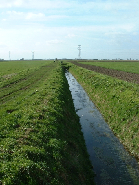
Adjacent to the downs lies the moorland of Gaul Field, an area rich in biodiversity. The moorland is covered with heather and gorse, creating a vibrant purple and yellow carpet that stretches as far as the eye can see. This unique ecosystem supports a diverse range of wildlife, including rare birds such as curlews and lapwings, as well as reptiles like adders and grass snakes.
Gaul Field is a haven for nature enthusiasts and photographers, offering endless opportunities to capture the beauty of the countryside. The field is also a popular destination for outdoor activities such as hiking, cycling, and birdwatching. With its unspoiled landscapes and peaceful atmosphere, Gaul Field provides a welcome escape from the hustle and bustle of everyday life.
If you have any feedback on the listing, please let us know in the comments section below.
Gaul Field Images
Images are sourced within 2km of 52.712216/0.10632227 or Grid Reference TF4214. Thanks to Geograph Open Source API. All images are credited.


Gaul Field is located at Grid Ref: TF4214 (Lat: 52.712216, Lng: 0.10632227)
Division: Isle of Ely
Administrative County: Cambridgeshire
District: Fenland
Police Authority: Cambridgeshire
What 3 Words
///asserts.flicked.nicely. Near West Walton, Norfolk
Nearby Locations
Related Wikis

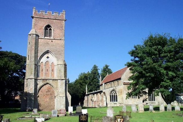
Newton-in-the-Isle
Newton-in-the-Isle is a village and civil parish in the Fenland District of the Isle of Ely, Cambridgeshire, England, The village is 4 miles (6 km) to...

Tydd St Giles
Tydd St Giles is a village in Fenland, Cambridgeshire, England. It is the northernmost village in the Isle of Ely, Cambridgeshire (bordering Lincolnshire...
Four Gotes
Four Gotes is a hamlet in the civil parish of Tydd St Giles in Cambridgeshire, England. The population is included in the civil parish of Leverington....

Gorefield
Gorefield is a village and civil parish in the Fenland district of Cambridgeshire, England. At the time of the 2001 census, the parish's population was...
Ferry railway station
Ferry railway station was a railway station in Newton-in-the-Isle, Cambridgeshire. It was on the Midland and Great Northern Joint Railway between Sutton...
Leverington
Leverington is a village and civil parish in the Fenland District of Cambridgeshire, England. The settlement is to the north of Wisbech. At the time of...

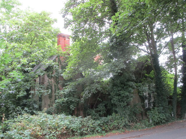
Leverington Hall
Leverington Hall is a 17th-century country house in the parish of Leverington, Cambridgeshire, England. The house is Grade I listed and is privately owned...

Tydd St Mary
Tydd St Mary is a village and civil parish in the South Holland district of Lincolnshire, England, about 9 miles (14 km) east of the town of Spalding and...
Nearby Amenities
Located within 500m of 52.712216,0.10632227Have you been to Gaul Field?
Leave your review of Gaul Field below (or comments, questions and feedback).