Inham Field
Downs, Moorland in Cambridgeshire Fenland
England
Inham Field
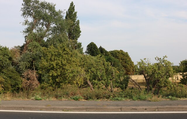
Inham Field, located in Cambridgeshire, is a picturesque area known for its diverse landscape, encompassing both downs and moorland. Spanning approximately 200 hectares, this natural haven offers a multitude of opportunities for outdoor enthusiasts to explore and appreciate its unique surroundings.
The downs of Inham Field are characterized by their rolling hills and expansive grasslands. These open spaces provide a tranquil setting for leisurely walks, picnics, and recreational activities such as kite flying. The downs are also home to a variety of plant species, including wildflowers, which add bursts of color to the landscape during the warmer months.
Adjacent to the downs, the moorland of Inham Field offers a contrasting environment, with its wet and marshy terrain. This habitat attracts a diverse range of wildlife, making it a popular spot for birdwatchers and nature lovers. Visitors may spot various species of waterfowl, including ducks and geese, as well as smaller mammals like rabbits and hares.
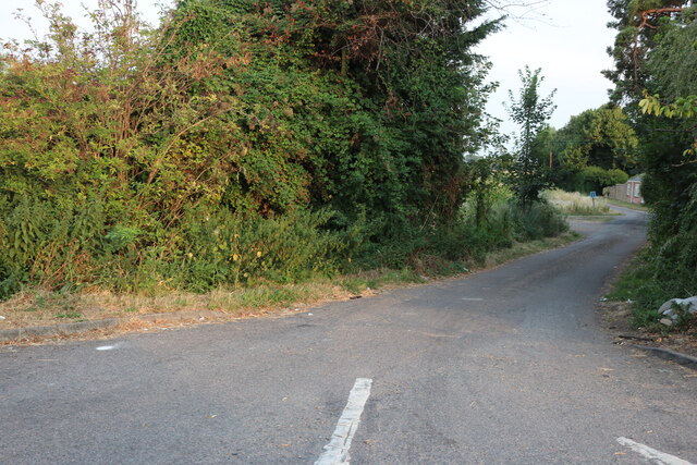
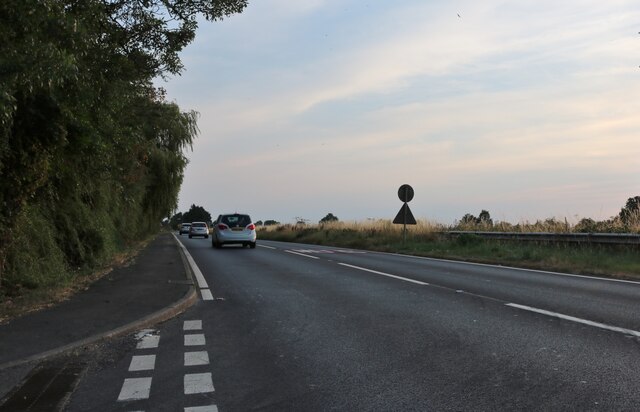
Furthermore, Inham Field is intersected by a network of footpaths and bridleways, providing ample opportunities for hikers, runners, and cyclists to explore the area. The paths wind through the different terrains, offering stunning views and a chance to connect with nature.
Overall, Inham Field in Cambridgeshire offers visitors a chance to immerse themselves in the natural beauty of downs and moorland. Its diverse landscape, rich wildlife, and recreational opportunities make it a haven for outdoor enthusiasts and a must-visit destination for those seeking a peaceful escape from the bustle of everyday life.
If you have any feedback on the listing, please let us know in the comments section below.
Inham Field Images
Images are sourced within 2km of 52.645264/0.10140332 or Grid Reference TF4207. Thanks to Geograph Open Source API. All images are credited.


Inham Field is located at Grid Ref: TF4207 (Lat: 52.645264, Lng: 0.10140332)
Division: Isle of Ely
Administrative County: Cambridgeshire
District: Fenland
Police Authority: Cambridgeshire
What 3 Words
///contracts.deck.outlooks. Near Wisbech, Cambridgeshire
Nearby Locations
Related Wikis
Wisbech St Mary railway station
Wisbech St Mary railway station was a station on the Midland and Great Northern Joint Railway line between Wisbech and Peterborough. Located in Wisbech...

Wisbech St Mary F.C.
Wisbech St Mary Football Club is a football club based in Wisbech St Mary, Cambridgeshire in England. The club are currently members of the Cambridgeshire...
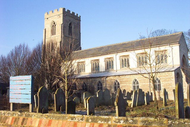
Wisbech St Mary
Wisbech St Mary is a village in the Fenland District of Cambridgeshire, England. It is 2 miles (3 km) west of the town of Wisbech. It lies between two...
Tholomas Drove
Tholomas Drove is a hamlet in Wisbech St Mary civil parish, part of the Fenland district in the Isle of Ely, Cambridgeshire, England. The population is...
Begdale
Begdale is a hamlet between Wisbech, Elm and Friday Bridge in Cambridgeshire, England. == References ==
Murder of Una Crown
Una Crown (1926/1927 – 12/13 January 2013) was an 86-year-old widow who was murdered in her bungalow in Wisbech in Cambridgeshire, England, in 2013. Her...
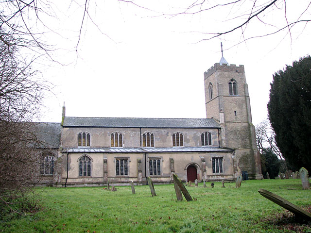
St John the Baptist's Church, Parson Drove
St John the Baptist's Church is a redundant Anglican church in the village of Parson Drove, Cambridgeshire, England. It is recorded in the National Heritage...
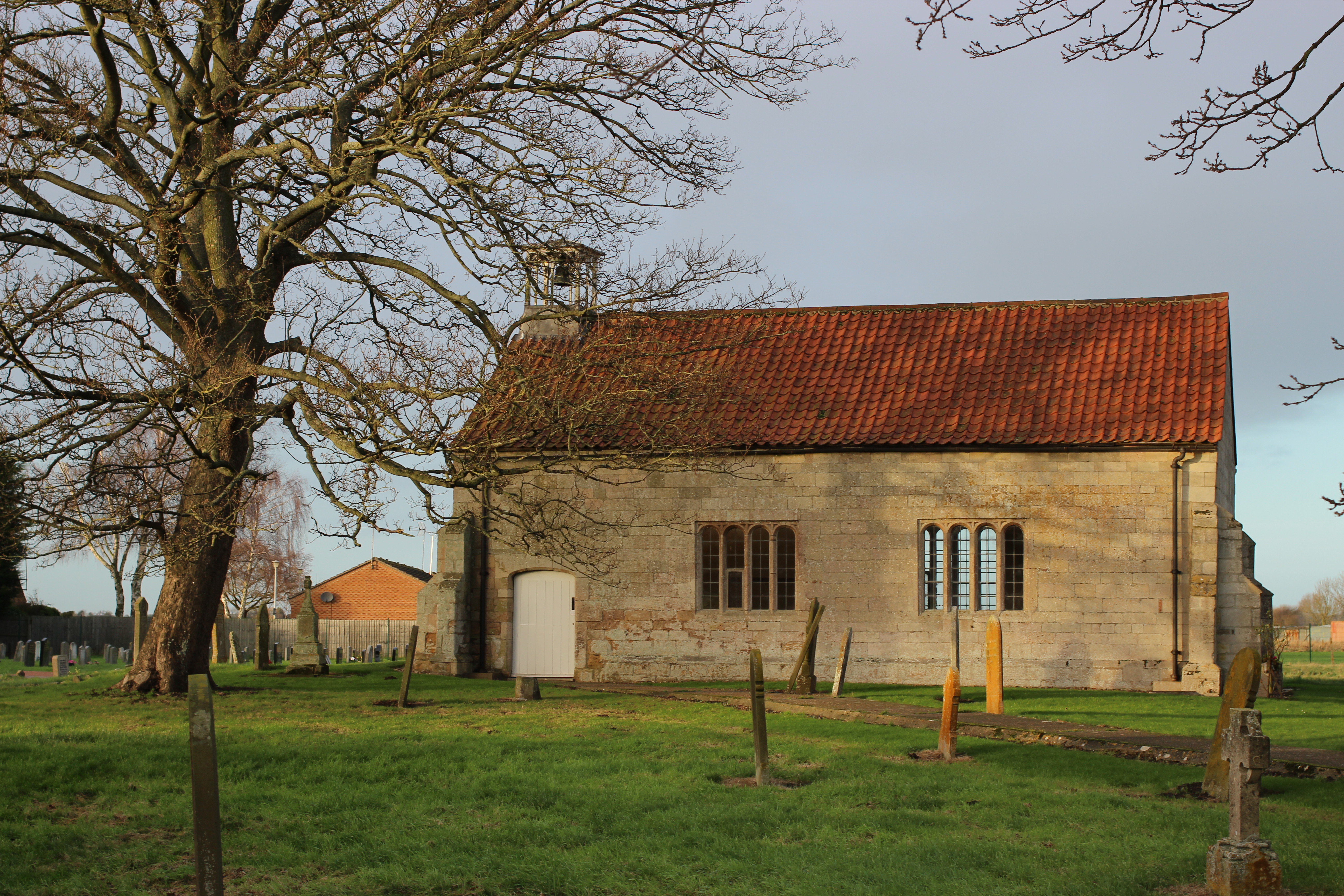
Guyhirn Chapel of Ease
Guyhirn Chapel of Ease, also known as Guyhirn Old Church, is a small rectangular chapel in Guyhirn, Cambridgeshire noted for being built during the Puritan...
Nearby Amenities
Located within 500m of 52.645264,0.10140332Have you been to Inham Field?
Leave your review of Inham Field below (or comments, questions and feedback).