Cadwin Field
Downs, Moorland in Cambridgeshire South Cambridgeshire
England
Cadwin Field

Cadwin Field is a picturesque area located in Cambridgeshire, England, known for its stunning downs and moorland landscapes. Spanning approximately 200 acres, it offers a diverse range of natural features and attracts visitors from near and far.
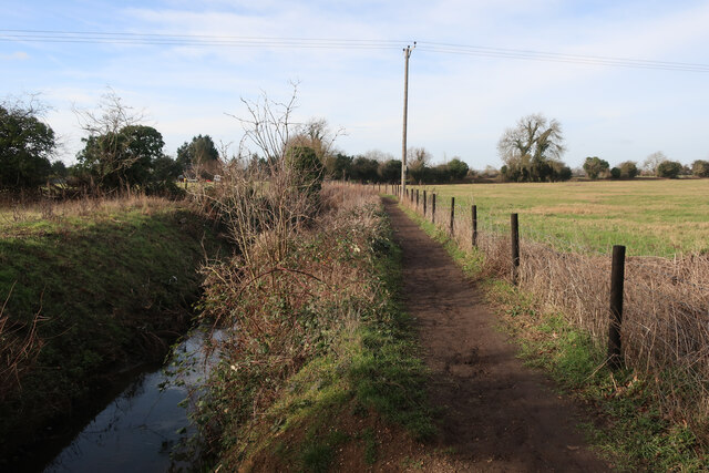
The downs of Cadwin Field are characterized by gently rolling hills covered in lush grasses and dotted with wildflowers. Walking along the well-maintained pathways, visitors can enjoy breathtaking panoramic views of the surrounding countryside. These downs are home to a variety of wildlife, including rabbits, foxes, and various bird species, making it a popular spot for nature enthusiasts and birdwatchers.
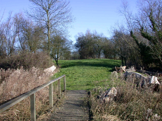
Adjacent to the downs lies the moorland, a unique and distinctive feature of Cadwin Field. The moorland is a vast expanse of open, rugged terrain covered in heather, gorse, and other hardy vegetation. This area provides a habitat for a range of wildlife, including deer, badgers, and reptiles. Its untamed beauty and sense of isolation make it an ideal location for those seeking tranquility and a chance to reconnect with nature.
Cadwin Field is also home to several walking trails and picnic spots, allowing visitors to explore its natural wonders at their own pace. The well-preserved footpaths provide easy access to the downs and moorland, making it suitable for people of all ages and abilities.
Overall, Cadwin Field in Cambridgeshire offers a captivating blend of downs and moorland landscapes, providing visitors with an opportunity to immerse themselves in the region's natural beauty and wildlife. Whether it's a leisurely walk, birdwatching, or simply enjoying a picnic, Cadwin Field is a hidden gem waiting to be discovered.
If you have any feedback on the listing, please let us know in the comments section below.
Cadwin Field Images
Images are sourced within 2km of 52.302024/0.070752546 or Grid Reference TL4169. Thanks to Geograph Open Source API. All images are credited.


Cadwin Field is located at Grid Ref: TL4169 (Lat: 52.302024, Lng: 0.070752546)
Administrative County: Cambridgeshire
District: South Cambridgeshire
Police Authority: Cambridgeshire
What 3 Words
///pure.shoulders.respected. Near Willingham, Cambridgeshire
Nearby Locations
Related Wikis

Belsar's Hill
Belsar's Hill is a hillfort near Willingham, Cambridgeshire, England. == Description == Belsar's Hill is an oval-shaped area, 265–220 metres (869–722 ft...

Rampton, Cambridgeshire
Rampton is a village in Cambridgeshire, England, situated on the edge of The Fens six miles to the north of Cambridge. == History == The edge of the Fens...
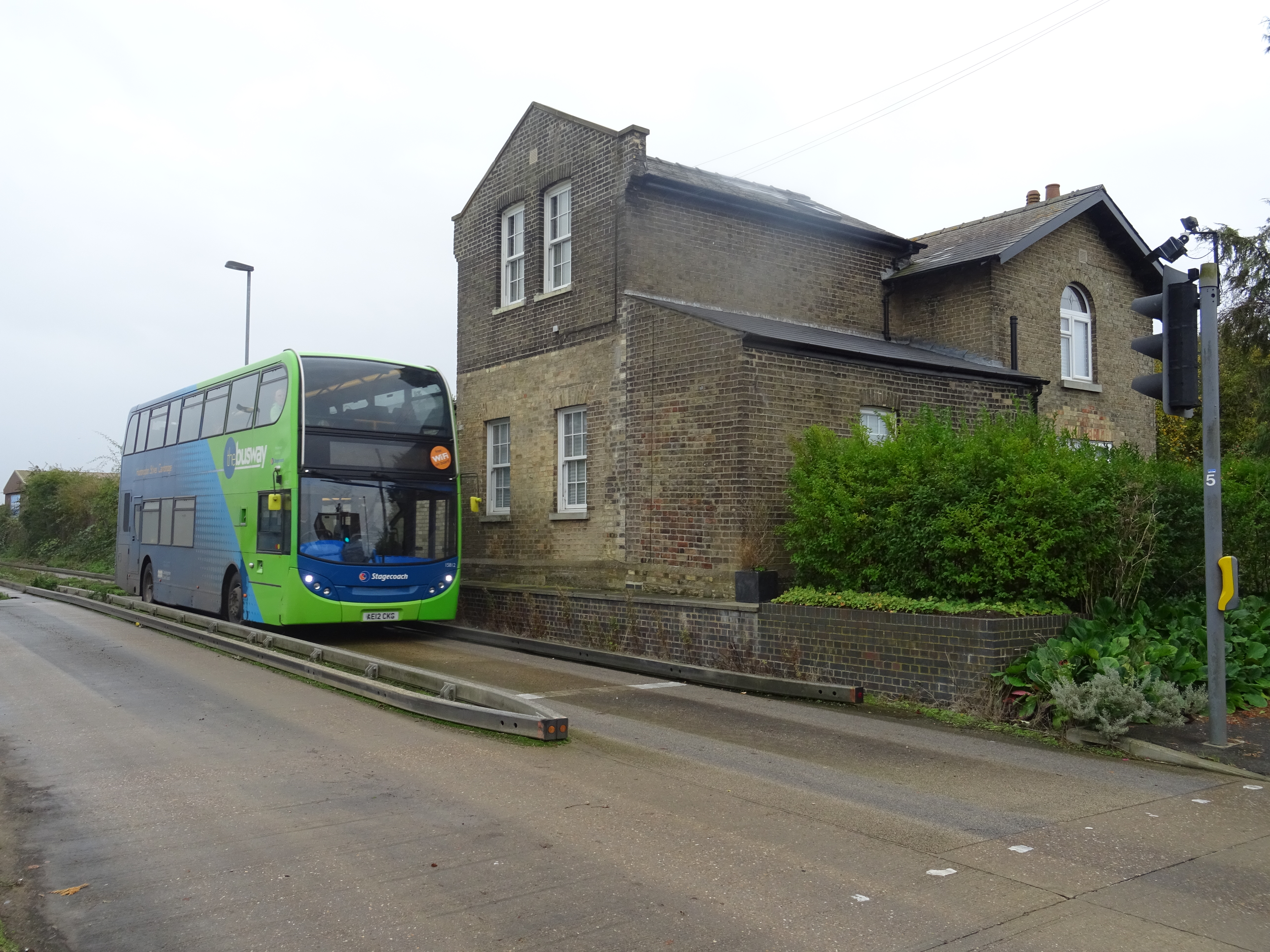
Long Stanton railway station
Long Stanton railway station was a station on the Great Eastern Railway, between Cambridge and Huntingdon. It served the villages of Longstanton and Willingham...

Willingham, Cambridgeshire
Willingham is a village in Cambridgeshire, England. It is located in the South Cambridgeshire district and sits just outside the border of the Fens, just...
Rampton Castle
Rampton Castle, known locally as Giant's Hill, is the earthwork remains of a motte and bailey castle in Rampton, Cambridgeshire. It is believed that the...
Northstowe Secondary College
Northstowe Secondary College is a co-educational secondary school and sixth form located in Northstowe in the English county of Cambridgeshire.The school...

Longstanton
Longstanton is a village and civil parish in South Cambridgeshire, England, 6 miles (9.7 km) north-west of Cambridge city centre. Longstanton occupies...

Oakington Immigration Reception Centre
Oakington Immigration Reception Centre was an immigration detention centre located in Cambridgeshire run by UK Visas and Immigration. Originally a World...
Nearby Amenities
Located within 500m of 52.302024,0.070752546Have you been to Cadwin Field?
Leave your review of Cadwin Field below (or comments, questions and feedback).