Heckmondwike

Settlement in Yorkshire

England

Heckmondwike

Signs, Westgate (A638), Heckmondwike The A638 runs 55 miles across Yorkshire, from Markham Moor to Chain Bar.
<span class="nowrap"><a title="http://www.sabre-roads.org.uk/wiki/index.php?title=A638" rel="nofollow ugc noopener" href="http://www.sabre-roads.org.uk/wiki/index.php?title=A638">Link</a><img style="margin-left:2px;" alt="External link" title="External link - shift click to open in new window" src="https://s1.geograph.org.uk/img/external.png" width="10" height="10"/></span>
Signs, Westgate (A638), Heckmondwike Credit: habiloid

Heckmondwike is a small town located in the metropolitan borough of Kirklees, in West Yorkshire, England. Situated in the heart of the Yorkshire countryside, Heckmondwike is approximately 9 miles south-west of Leeds and 5 miles south-east of Bradford. The town covers an area of around 1 square mile and has a population of approximately 17,000 people.

Historically, Heckmondwike was a coal mining town, with several collieries operating in the area during the 19th and early 20th centuries. However, the decline of the coal industry led to the closure of these mines, and the town has since diversified its economy.

Today, Heckmondwike is known for its thriving manufacturing and retail sectors. The town is home to a number of factories and industrial estates, producing a range of goods including textiles, plastics, and furniture. Additionally, Heckmondwike boasts a bustling town centre, with a variety of shops, supermarkets, and local businesses serving the community.

Heckmondwike is also renowned for its educational institutions. The town has several primary and secondary schools, including the renowned Heckmondwike Grammar School. The area is proud of its strong academic tradition, with many students achieving excellent results year after year.

With its picturesque countryside surroundings, Heckmondwike offers residents and visitors the opportunity to enjoy outdoor activities such as walking, cycling, and exploring the nearby nature reserves and parks. The town is well-connected to the rest of Yorkshire and beyond, with good transport links including nearby motorways and regular bus services.

In conclusion, Heckmondwike is a vibrant town in West Yorkshire with a rich industrial heritage, a diverse economy, and a strong sense of community.

If you have any feedback on the listing, please let us know in the comments section below.
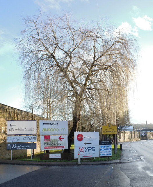
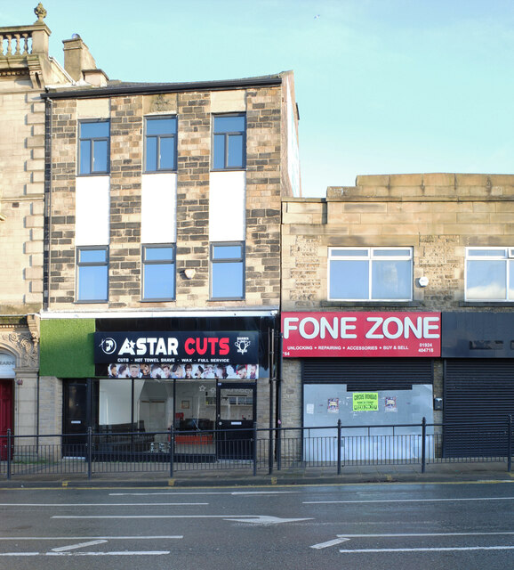
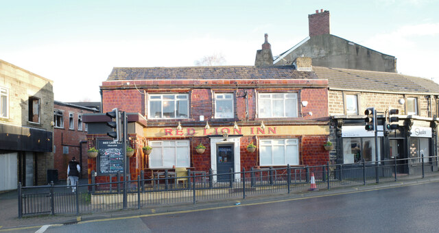
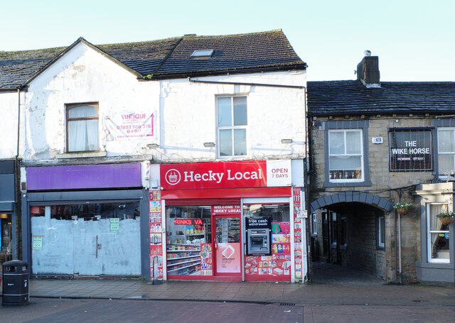
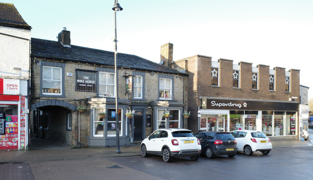
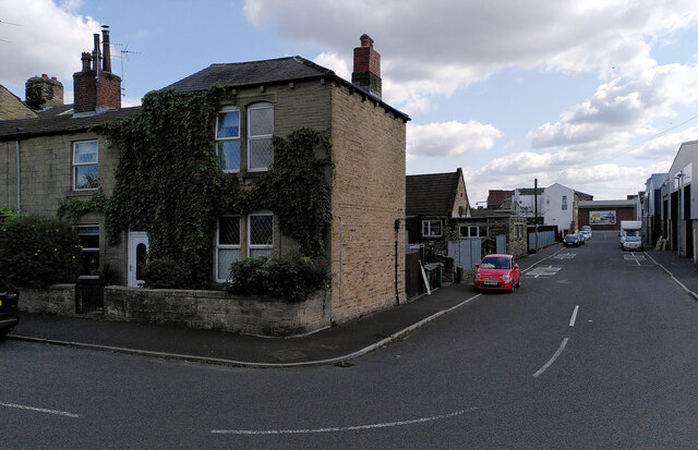
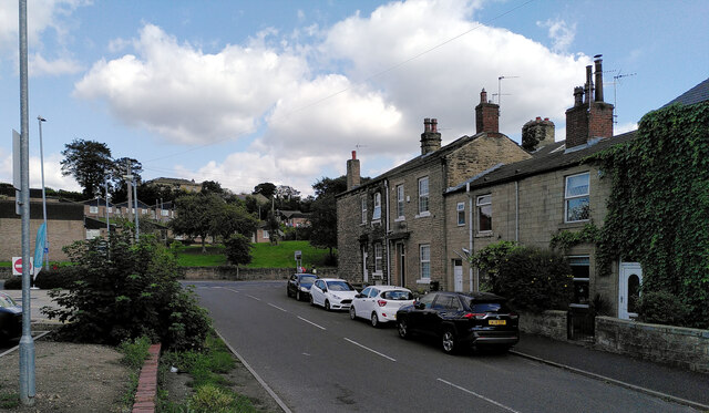
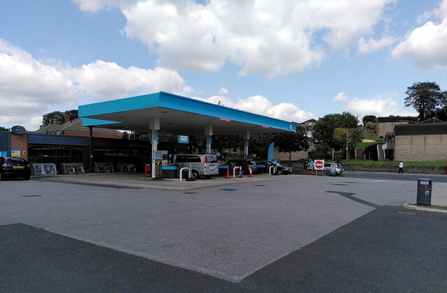
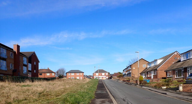
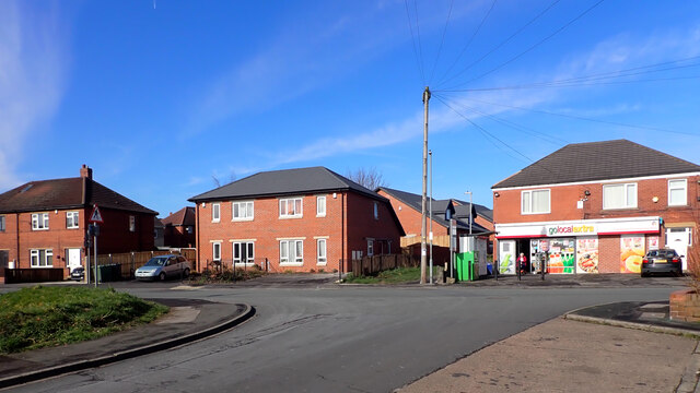
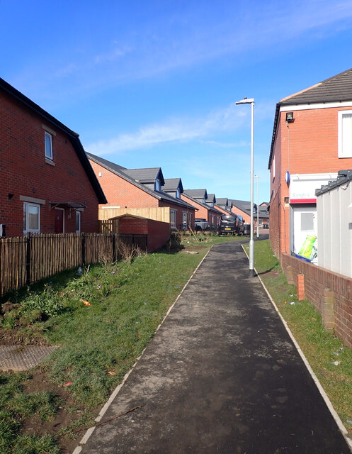
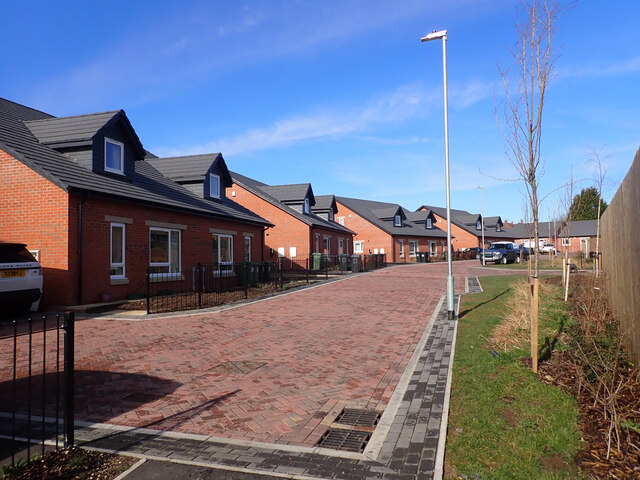
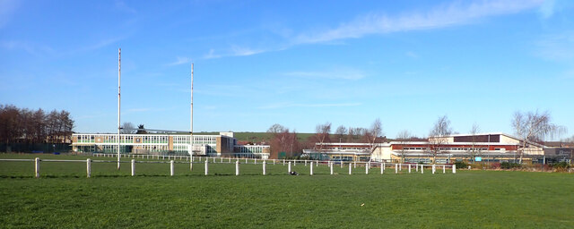
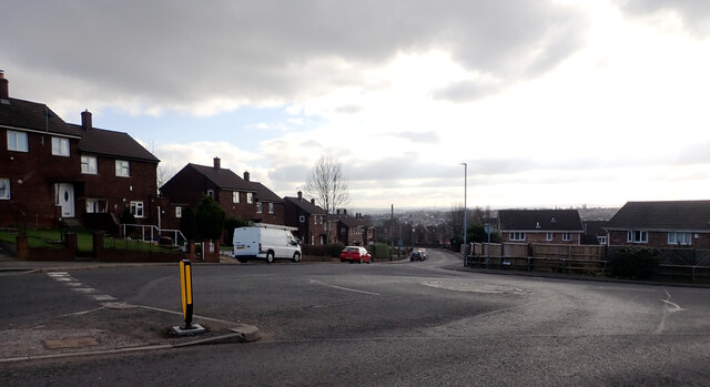
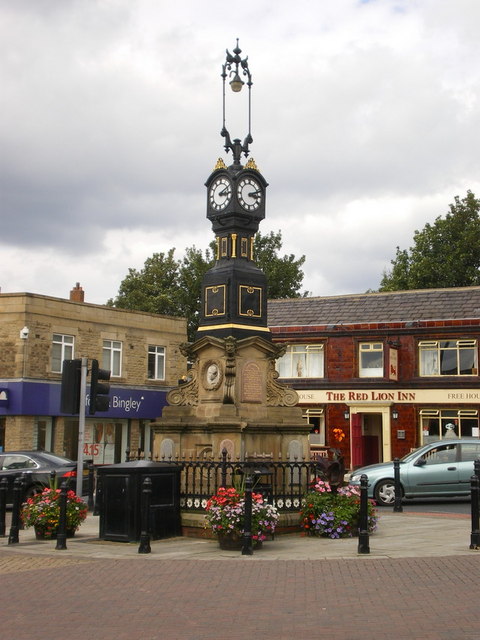
Heckmondwike Images

Images are sourced within 2km of 53.703405/-1.66368 or Grid Reference SE2223. Thanks to Geograph Open Source API. All images are credited.

Signs, Westgate (A638), Heckmondwike The A638 runs 55 miles across Yorkshire, from Markham Moor to Chain Bar.
<span class="nowrap"><a title="http://www.sabre-roads.org.uk/wiki/index.php?title=A638" rel="nofollow ugc noopener" href="http://www.sabre-roads.org.uk/wiki/index.php?title=A638">Link</a><img style="margin-left:2px;" alt="External link" title="External link - shift click to open in new window" src="https://s1.geograph.org.uk/img/external.png" width="10" height="10"/></span>
Signs, Westgate (A638), Heckmondwike
The A638 runs 55 miles across Yorkshire, from Markham Moor to Chain Bar. LinkExternal link
A-Star Cuts and Fone Zone, Market Street (A638), Heckmondwike
The Red Lion Inn, Market Street (A638), Heckmondwike The A638 runs 55 miles across Yorkshire, from Markham Moor to Chain Bar.
<span class="nowrap"><a title="http://www.sabre-roads.org.uk/wiki/index.php?title=A638" rel="nofollow ugc noopener" href="http://www.sabre-roads.org.uk/wiki/index.php?title=A638">Link</a><img style="margin-left:2px;" alt="External link" title="External link - shift click to open in new window" src="https://s1.geograph.org.uk/img/external.png" width="10" height="10"/></span>
The Red Lion Inn, Market Street (A638), Heckmondwike
The A638 runs 55 miles across Yorkshire, from Markham Moor to Chain Bar. LinkExternal link
Hecky Local, Market Place, Heckmondwike
The Wyke Horse and Superdrug, Market Place, Heckmondwike
Holme Street, Millbridge, Liversedge
Co-Op petrol station and convenience store, Millbridge, Liversedge
Fairfield Avenue, Batley
Junction of Fairfield Avenue and Dale Lane, Batley
Path between Dale Lane and Leyburn Avenue, Batley
Leyburn Avenue, Batley
Birstall Victoria ARLFC ground, White Lee Road, Batley In the background are two schools: Co-Op Academy Smithies Moor and Fairfield School.
Birstall Victoria ARLFC ground, White Lee Road, Batley
In the background are two schools: Co-Op Academy Smithies Moor and Fairfield School.
Junction of Leeds Old Road and Nunroyd, Heckmondwike
Beech Grove, Heckmondwike
Almondroyd, Heckmondwike
Path between Leeds Road and Vernon Road, Liversedge
Recreation Ground, Vernon Road, Liversedge
Show me another place!

Heckmondwike is located at Grid Ref: SE2223 (Lat: 53.703405, Lng: -1.66368)

Division: West Riding

Unitary Authority: Kirklees

Police Authority: West Yorkshire

What 3 Words

///dirt.longer.healers. Near Heckmondwike, West Yorkshire

Related Wikis

Heckmondwike Grammar School

Heckmondwike Grammar School (HGS) is an 11–18 mixed, grammar school and sixth form with academy status in Heckmondwike, West Yorkshire, England. ��2�...

Heckmondwike

Heckmondwike is a town in the Metropolitan Borough of Kirklees, West Yorkshire, England, 9 miles (14 km) south west of Leeds. Historically part of the...

Heckmondwike Spen railway station

Heckmondwike Spen was a railway station opened by the London & North Western Railway (LNWR) in Heckmondwike, West Yorkshire, England. The station was one...

Dewsbury and District Hospital

Dewsbury and District Hospital is an acute District General Hospital in Staincliffe, West Yorkshire operated by the Mid Yorkshire Teaching NHS Trust....

Related Videos

DEWSBURY | Full tour of Dewsbury Town Centre in West Yorkshire | Dewsbury Walking Tour in 4K

DEWSBURY | Full tour of Dewsbury Town Centre in West Yorkshire | 4K Walking Tour We took the Gimbal Walk TV cameras to ...

DEWSBURY - A walking tour of Dewsbury in 4k in February 2024

Rich Lord Travels takes a walk round Dewsbury Town Centre, taking in the Market, the Minster, and much more! Join me, Rich ...

This town has nothing to offer anyone!

I visit what is supposed to Yorkshire's most deprived town Dewsbury. The town seems somewhat lost and every other shop is shut ...

Dewsbury | England | Travel Guide 🇬🇧

My name is Gabe and on this channel i'm showing you where to travel 2022 and how can you solo travel with a drone in ...

Nearby Amenities

Located within 500m of 53.703405,-1.66368
Barrier: bollard
Lat/Long: 53.701393/-1.6629957
Turning Circle
Lat/Long: 53.7040798/-1.6562968
Bus Stop
Moor End Lane / Heckmondwike Road
Local Ref: 45016190
Naptan AtcoCode: 450016190
Naptan Bearing: NW
Naptan CommonName: Moor End Lane Heckmondwike Road
Naptan Crossing: Moor End Lane
Naptan Indicator: Stop 45016190
Naptan PlusbusZoneRef: LEEDS
Naptan ShortCommonName: Moor End Lane
Naptan Street: Heckmondwike Road
Naptan Verified: no
Shelter: yes
Source: naptan_import
Timetable: yes
Towards: Cleckheaton, Drightlington, Gomersal, Scholes
Lat/Long: 53.7001994/-1.6620058
Bus Stop
Heckmondwike Road / Moorend Road
Local Ref: 45016191
Naptan AtcoCode: 450016191
Naptan Bearing: SE
Naptan CommonName: Heckmondwike Road Moorend Road
Naptan Crossing: Moorend Lane
Naptan Indicator: Stop 45016191
Naptan Landmark: Chemical Plant
Naptan PlusbusZoneRef: LEEDS
Naptan ShortCommonName: Moorend Lane
Naptan Street: Heckmondwike Road
Shelter: no
Source: naptan_import; survey
Towards: Dewsbury
Lat/Long: 53.7004927/-1.6620525
Bus Stop
Walkley Road / Heckmondwike
Local Ref: 45016192
Naptan AtcoCode: 450016192
Naptan Bearing: NW
Naptan CommonName: Walkley Lane Walkley Terrace
Naptan Crossing: Walkley Terrace
Naptan Indicator: Stop 45016192
Naptan PlusbusZoneRef: LEEDS
Naptan ShortCommonName: Walkley Terrace
Naptan Street: Walkley Lane
Naptan Verified: no
Note: Name corrected
Shelter: no
Source: naptan_import
Timetable: yes
Towards: Cleckheaton, Drightlington, Gomersal, Leeds
Lat/Long: 53.7023295/-1.6677743
Bus Stop
Walkley Lane Walkley Terrace
Local Ref: 45016193
Naptan AtcoCode: 450016193
Naptan Bearing: E
Naptan CommonName: Walkley Lane Walkley Terrace
Naptan Crossing: Walkley Terrace
Naptan Indicator: Stop 45016193
Naptan PlusbusZoneRef: LEEDS
Naptan ShortCommonName: Walkley Terrace
Naptan Street: Walkley Lane
Shelter: no
Source: naptan_import
Timetable: yes
Towards: Dewsbury
Lat/Long: 53.7025614/-1.6682656
Bus Stop
Walkley Lane / Artillery Street
Local Ref: 45016196
Naptan AtcoCode: 450016196
Naptan Bearing: SE
Naptan CommonName: Walkley Lane Artillery Street
Naptan Crossing: Artillery Street
Naptan Indicator: Stop 45016196
Naptan Landmark: Filling Station
Naptan PlusbusZoneRef: LEEDS
Naptan ShortCommonName: Artillery Street
Naptan Street: Walkley Lane
Shelter: no
Source: naptan_import
Timetable: yes
Towards: Dewsbury
Lat/Long: 53.7035721/-1.6710702
Heckmondwike Library
Traffic Sign: city_limit
Lat/Long: 53.7002966/-1.6621328
Post Box
Operator: Royal Mail
Post Box Type: wall
Ref: WF13 71
Royal Cypher: EIIR
Royal Cypher Wikidata: Q33102113
Lat/Long: 53.7000722/-1.6616942
Access: foot
Barrier: stile
Lat/Long: 53.703738/-1.6671093
Atm
Lat/Long: 53.7034299/-1.6705776
Grit Bin
Lat/Long: 53.7036759/-1.6564813
Pub
The George
Lat/Long: 53.7018894/-1.6580722
Post Box
Operator: Royal Mail
Post Box Type: lamp
Ref: WF13 26
Lat/Long: 53.703706/-1.6566427
Turning Circle
Lat/Long: 53.7034246/-1.6612125
Turning Circle
Lat/Long: 53.7032833/-1.6612983
Turning Circle
Lat/Long: 53.7027181/-1.6580039
Turning Circle
Lat/Long: 53.7034366/-1.6578276
Turning Circle
Lat/Long: 53.7035593/-1.658902
Post Box
Operator: Royal Mail
Post Box Type: lamp
Ref: WF16 222
Lat/Long: 53.7058223/-1.661743
Barrier: yes
Lat/Long: 53.7007503/-1.6631307
Barrier: yes
Lat/Long: 53.7005785/-1.6629962
Heckmondwike Spen Junction
Railway: junction
Lat/Long: 53.7023706/-1.6680672
MPM&TM Junction
Railway: junction
Lat/Long: 53.6999459/-1.6662101
Barrier: bollard
Fixme: clarify type of barrier please
Lat/Long: 53.7065341/-1.6586228
The data included in this document is from www.openstreetmap.org. The data is made available under ODbL.

Have you been to Heckmondwike?

Leave your review of Heckmondwike below (or comments, questions and feedback).