Middle Fen
Downs, Moorland in Cambridgeshire South Cambridgeshire
England
Middle Fen

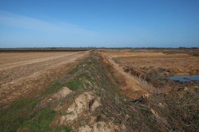
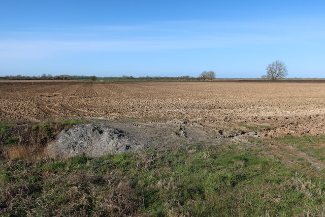
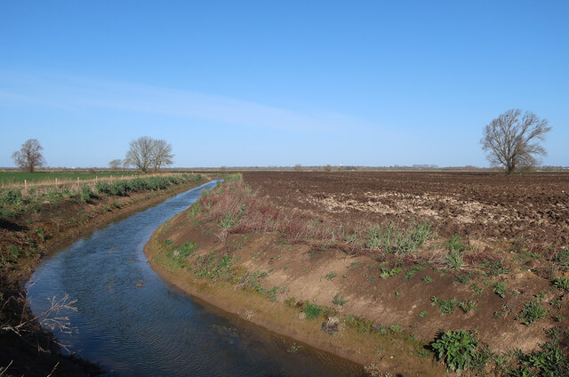
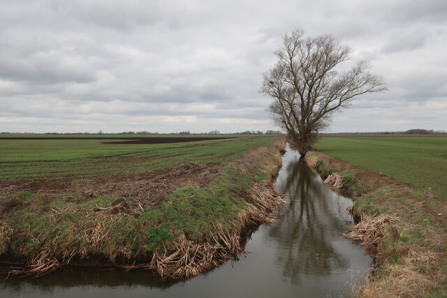
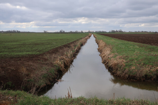
Middle Fen is an area located in Cambridgeshire, England, known for its diverse landscapes, including downs and moorland. This region is encompassed by the larger fenland area, characterized by flat, marshy terrain and an extensive network of drainage channels.
The downs in Middle Fen are rolling hills covered in grass and are a prominent feature of the landscape. They provide stunning vistas and are popular for outdoor activities such as hiking, cycling, and picnicking. The downs are home to a variety of plant and animal species, including wildflowers and birds, making it an excellent spot for nature enthusiasts.
Adjacent to the downs lies the moorland, which is a wetland area characterized by acidic soil and a combination of grasses, heather, and scattered shrubs. This unique habitat supports a range of flora and fauna, including rare species such as marsh orchids, sundews, and adders. Moorland areas are also important for water management, as they act as natural reservoirs, helping to prevent flooding in the surrounding low-lying fenland.
Middle Fen, being part of the fenland, has a rich history of human settlements and agriculture. In the past, the fenland was subject to extensive drainage projects, transforming the landscape into arable farmland. However, efforts have been made to preserve and restore parts of the fenland, including Middle Fen, to their natural state, allowing the re-establishment of wetland habitats and their associated biodiversity.
Overall, Middle Fen is a unique and picturesque area in Cambridgeshire, offering a diverse range of landscapes, from the rolling downs to the wet moorland, making it a haven for nature lovers and a site of ecological importance.
If you have any feedback on the listing, please let us know in the comments section below.
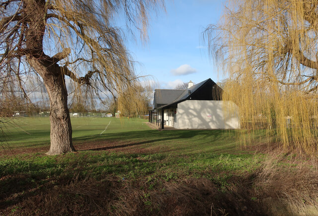
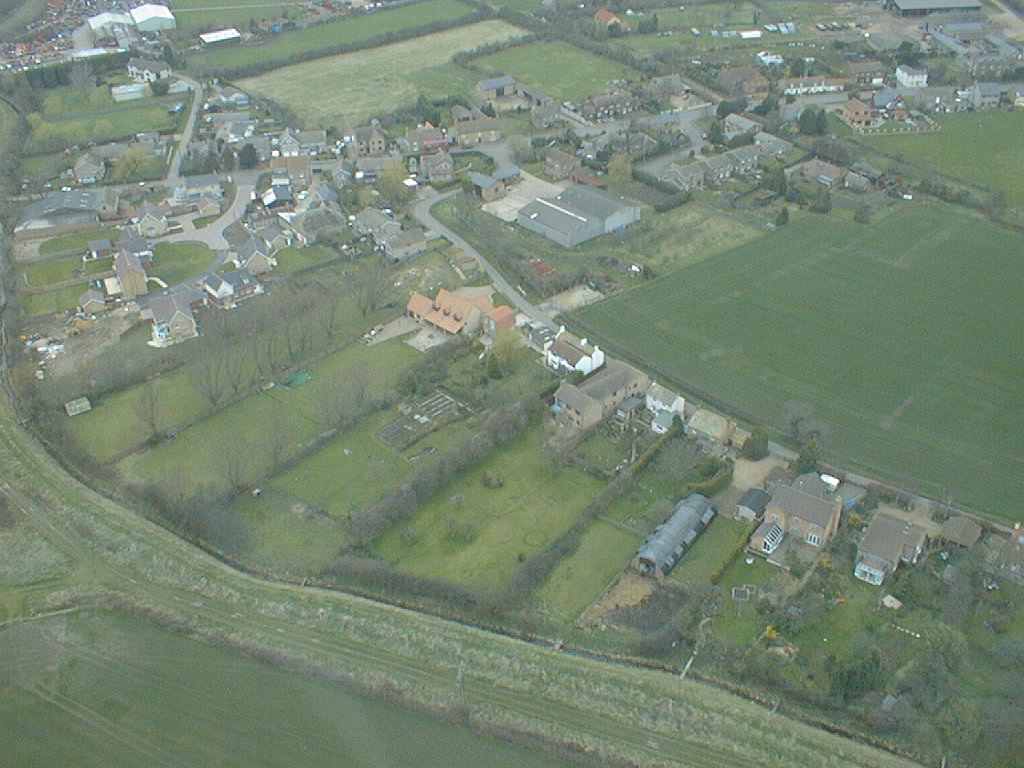
Middle Fen Images
Images are sourced within 2km of 52.330416/0.069436635 or Grid Reference TL4172. Thanks to Geograph Open Source API. All images are credited.


Middle Fen is located at Grid Ref: TL4172 (Lat: 52.330416, Lng: 0.069436635)
Administrative County: Cambridgeshire
District: South Cambridgeshire
Police Authority: Cambridgeshire
What 3 Words
///ankle.chose.outsmart. Near Willingham, Cambridgeshire
Nearby Locations
Related Wikis

Willingham, Cambridgeshire
Willingham is a village in Cambridgeshire, England. It is located in the South Cambridgeshire district and sits just outside the border of the Fens, just...

Belsar's Hill
Belsar's Hill is a hillfort near Willingham, Cambridgeshire, England. == Description == Belsar's Hill is an oval-shaped area, 265–220 metres (869–722 ft...

New Bedford River
The New Bedford River, also known as the Hundred Foot Drain because of the distance between the tops of the two embankments on either side of the river...

Earith Bridge railway station
Earith Bridge railway station was a station in Earith, Cambridgeshire on the Ely and St Ives Railway. It was closed to regular passenger trains in 1931...

Old Bedford River
The Old Bedford River is an artificial, partial diversion of the waters of the River Great Ouse in the Fens of Cambridgeshire, England. It was named after...
Aldreth
Aldreth is a hamlet in Cambridgeshire with about 260 residents (2001 census). It is located near the larger village of Haddenham (where the population...

Berry Fen
Berry Fen is a 15.3-hectare (38-acre) biological Site of Special Scientific Interest on the western outskirts of Earith in Cambridgeshire.This neutral...

Earith
Earith is a village and civil parish in Cambridgeshire, England. Lying approximately 10 miles (16 km) east of Huntingdon, Earith is situated within Huntingdonshire...
Nearby Amenities
Located within 500m of 52.330416,0.069436635Have you been to Middle Fen?
Leave your review of Middle Fen below (or comments, questions and feedback).