Coneywood Fen

Downs, Moorland in Cambridgeshire Fenland

England

Coneywood Fen

The Three Tuns, Doddington
The Three Tuns, Doddington Credit: David Purchase

Coneywood Fen is a picturesque nature reserve located in Cambridgeshire, England. Spread across an area of approximately 500 acres, it encompasses a diverse range of habitats such as downs, moorland, and wetlands. The fen is situated near the village of Cottenham and is managed by a local conservation organization.

The downs within Coneywood Fen are characterized by rolling hills covered in short grasses and scattered shrubs. These areas provide a habitat for a variety of small mammals, such as rabbits, and attract a range of bird species, including skylarks and meadow pipits. The undulating landscape offers visitors stunning panoramic views of the surrounding countryside.

The moorland found within the reserve is characterized by expansive areas of heather and gorse. This unique habitat supports a diverse array of bird species, including stonechats and whinchats. Additionally, the moorland provides nesting grounds for several ground-nesting birds, such as lapwings and curlews.

Coneywood Fen is also home to several wetland areas, which are crucial for supporting a rich variety of plant and animal life. The wetlands include reed beds, ponds, and small streams. These habitats attract a range of water-dwelling species, including dragonflies, frogs, and water birds like mallards and herons.

The reserve offers visitors a network of well-maintained footpaths and boardwalks, allowing them to explore and appreciate the area's natural beauty. Educational events and guided walks are also organized regularly, providing visitors with an opportunity to learn about the diverse flora and fauna that call Coneywood Fen their home.

If you have any feedback on the listing, please let us know in the comments section below.

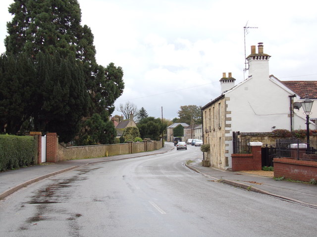
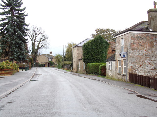
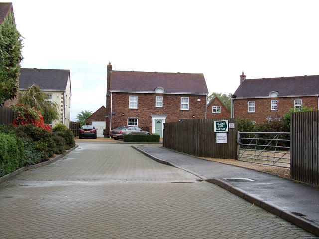
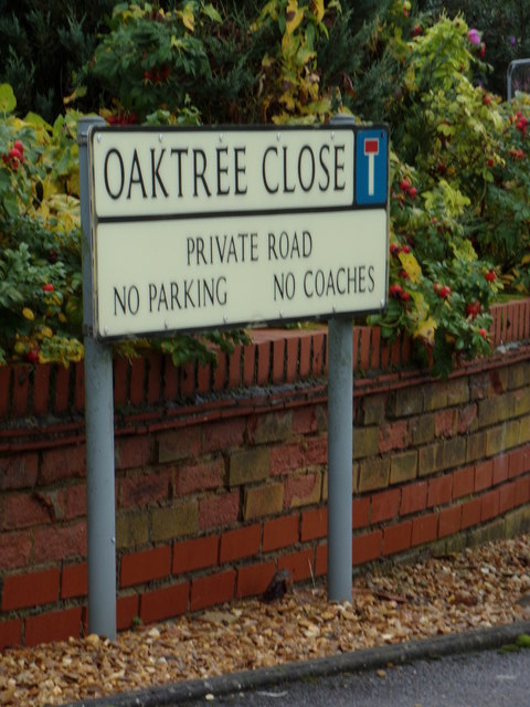
Coneywood Fen Images

Images are sourced within 2km of 52.510363/0.064338102 or Grid Reference TL4092. Thanks to Geograph Open Source API. All images are credited.

The Three Tuns, Doddington
New Street, Doddington Looking towards the clock tower and the sturdily built shelter behind it.  Doddington has two pubs close to one another; the George <span class="nowrap"><a title="https://www.elgoods-brewery.co.uk/stores/the-george-inn/" rel="nofollow ugc noopener" href="https://www.elgoods-brewery.co.uk/stores/the-george-inn/">Link</a><img style="margin-left:2px;" alt="External link" title="External link - shift click to open in new window" src="https://s1.geograph.org.uk/img/external.png" width="10" height="10"/></span> can be seen on the right and the Three Tuns is behind the photographer.
New Street, Doddington
Looking towards the clock tower and the sturdily built shelter behind it. Doddington has two pubs close to one another; the George LinkExternal link can be seen on the right and the Three Tuns is behind the photographer.
Wind Turbines at March Viewed from The Action Ground
Wind Turbines at March
Viewed from The Action Ground
B1093 Benwick Road, Doddington <span class="nowrap"><a title="https://en.wikipedia.org/wiki/Doddington,_Cambridgeshire" rel="nofollow ugc noopener" href="https://en.wikipedia.org/wiki/Doddington,_Cambridgeshire">Link</a><img style="margin-left:2px;" alt="External link" title="External link - shift click to open in new window" src="https://s1.geograph.org.uk/img/external.png" width="10" height="10"/></span>
B1093 Benwick Road, Doddington
Pavilion at Doddington Recreation Ground Off the B1093 Benwick Road
Pavilion at Doddington Recreation Ground
Off the B1093 Benwick Road
B1093 Benwick Road, Doddington <span class="nowrap"><a title="https://en.wikipedia.org/wiki/Doddington,_Cambridgeshire" rel="nofollow ugc noopener" href="https://en.wikipedia.org/wiki/Doddington,_Cambridgeshire">Link</a><img style="margin-left:2px;" alt="External link" title="External link - shift click to open in new window" src="https://s1.geograph.org.uk/img/external.png" width="10" height="10"/></span>
B1093 Benwick Road, Doddington
B1093 Benwick Road, Doddington Near Doddington Village Hall
B1093 Benwick Road, Doddington
Near Doddington Village Hall
Oaktree Close, Doddington Off the B1093 Benwick Road
Oaktree Close, Doddington
Off the B1093 Benwick Road
Oaktree Close sign On Oaktree Close at the junction with the B1093 Benwick Road
Oaktree Close sign
On Oaktree Close at the junction with the B1093 Benwick Road
B1093 Benwick Road, Doddington At the junction with Oaktree Close
B1093 Benwick Road, Doddington
At the junction with Oaktree Close
B1093 Benwick Road, Doddington At the junction with the B1093 High Street.
B1093 Benwick Road, Doddington
At the junction with the B1093 High Street.
New Street, Doddington At the junction with the B1093 High Street & Benwick Road
New Street, Doddington
At the junction with the B1093 High Street & Benwick Road
The George Public House, Doddington On New Street at the junction with the B1093 High Street & Benwick Road
The George Public House, Doddington
On New Street at the junction with the B1093 High Street & Benwick Road
Doddington Methodist Church On New Street at the junction with the B1093 High Street & B1093 Benwick Road
<span class="nowrap"><a title="https://eangliamethodist.org.uk/doddington" rel="nofollow ugc noopener" href="https://eangliamethodist.org.uk/doddington">Link</a><img style="margin-left:2px;" alt="External link" title="External link - shift click to open in new window" src="https://s1.geograph.org.uk/img/external.png" width="10" height="10"/></span>
Doddington Methodist Church
On New Street at the junction with the B1093 High Street & B1093 Benwick Road LinkExternal link
B1093 High Street, Doddington At the junction with the B1093 Benwick Road & New Street
B1093 High Street, Doddington
At the junction with the B1093 Benwick Road & New Street
New Street, Doddington At the junction with Church Lane
New Street, Doddington
At the junction with Church Lane
Church Lane, Doddington At the junction with New Street
Church Lane, Doddington
At the junction with New Street
Church Lane, Doddington At the junction with Church Lane near St. Mary the Virgin Church
Church Lane, Doddington
At the junction with Church Lane near St. Mary the Virgin Church
Show me another place!

Coneywood Fen is located at Grid Ref: TL4092 (Lat: 52.510363, Lng: 0.064338102)

Division: Isle of Ely

Administrative County: Cambridgeshire

District: Fenland

Police Authority: Cambridgeshire

What 3 Words

///efficient.passes.softly. Near Wimblington, Cambridgeshire

Nearby Locations

Coneywood Fen

Related Wikis

Wimblington railway station

Wimblington railway station was a station in the village of Wimblington, Cambridgeshire. It was closed in 1967 as part of the Beeching Axe.The station...

Wimblington

Wimblington is a village in the Isle of Ely, Cambridgeshire, England, with a population of 1700 as of the 2001 census, including Stonea and increasing...

Doddington, Cambridgeshire

Doddington is a village and civil parish lying just off the A141 in the Isle of Ely, Cambridgeshire, approximately half way (4 miles (6 km)) between Chatteris...

Gault Wood

Gault Wood is a woodland in Cambridgeshire, England, near the town of March. It covers a total area of 6.51 hectares (16.09 acres). It is owned and managed...

Neale-Wade Academy

Neale-Wade Academy (formerly Neale-Wade Community College) is a secondary school and sixth form with academy status in the market town of March, Cambridgeshire...

The Avenue Sports Club Ground

The Avenue Sports Club Ground is a cricket ground in March, Cambridgeshire. The ground was established in 1939, when Cambridgeshire played Suffolk in...

Swingbrow

Swingbrow (sometimes written Swing Brow) is a hamlet near to Chatteris , Cambridgeshire lying alongside the Forty Foot Drain built by Vermuyden. A Neolithic...

March Town Hall

March Town Hall is a municipal building in the Market Square in March, Cambridgeshire, England. The building, which was the headquarters of March Urban...

Nearby Amenities

Located within 500m of 52.510363,0.064338102
Power: transformer
Lat/Long: 52.5071922/0.0631874
Power: pole
Lat/Long: 52.5098809/0.0638468
Power: pole
Lat/Long: 52.5126332/0.064499
Power: pole
Lat/Long: 52.5089031/0.0636433
Power: pole
Lat/Long: 52.5131261/0.0645603
Power: pole
Lat/Long: 52.5104033/0.0639809
Power: pole
Lat/Long: 52.5113632/0.064174
Power: pole
Lat/Long: 52.5135391/0.0646814
Power: pole
Lat/Long: 52.5122185/0.0643725
Power: pole
Lat/Long: 52.5064379/0.0630264
Power: pole
Lat/Long: 52.5060364/0.0629621
Power: pole
Lat/Long: 52.5084149/0.0635119
Power: pole
Lat/Long: 52.5078959/0.0633993
Power: pole
Lat/Long: 52.509383/0.0637319
Power: pole
Lat/Long: 52.5117192/0.0642599
Power: pole
Lat/Long: 52.51088/0.0640936
Power: pole
Lat/Long: 52.5079611/0.0582683
Power: pole
Lat/Long: 52.5091561/0.0573188
Power: pole
Lat/Long: 52.5081474/0.0580483
The data included in this document is from www.openstreetmap.org. The data is made available under ODbL.

Have you been to Coneywood Fen?

Leave your review of Coneywood Fen below (or comments, questions and feedback).