Eaugate Field
Downs, Moorland in Cambridgeshire Fenland
England
Eaugate Field
Eaugate Field, located in Cambridgeshire, is a picturesque area encompassing both downs and moorland landscapes. Spanning over a significant expanse, this natural reserve offers a diverse range of flora and fauna, making it a popular destination for nature enthusiasts and hikers alike.
The downs section of Eaugate Field showcases rolling hills and gentle slopes, covered in lush grasses, wildflowers, and scattered shrubs. This creates an idyllic setting for picnics, leisurely walks, and panoramic views of the surrounding countryside. The downs are also home to an array of bird species, including skylarks and meadow pipits, which can be observed soaring gracefully overhead.
Adjacent to the downs, the moorland area of Eaugate Field provides a contrasting landscape characterized by open expanses of heather, gorse, and bracken. This habitat offers a haven for various wildlife species, such as rabbits, foxes, and deer, who find shelter within the dense vegetation. The moorland is also dotted with small ponds, attracting an assortment of waterfowl and amphibians.
Eaugate Field is meticulously maintained by local conservation groups, ensuring the preservation of its natural beauty and ecological balance. Visitors can enjoy the tranquility of the surroundings while following designated trails that wind through the downs and moorland. Information boards throughout the reserve provide educational insights into the local ecosystem and its inhabitants.
Overall, Eaugate Field in Cambridgeshire offers a harmonious blend of downs and moorland, providing a breathtaking natural environment for exploration and appreciation of the region's diverse wildlife and vegetation.
If you have any feedback on the listing, please let us know in the comments section below.
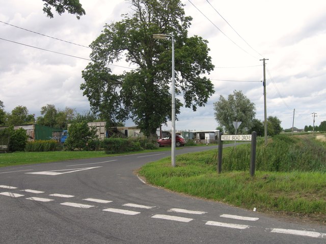
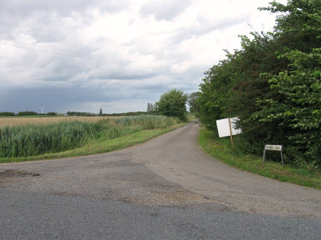
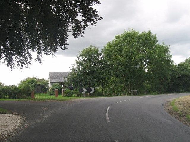
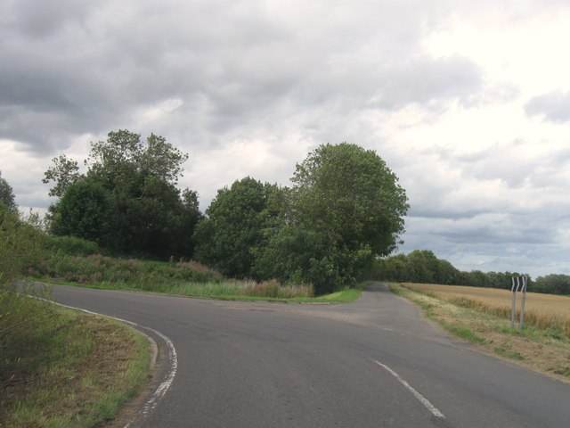
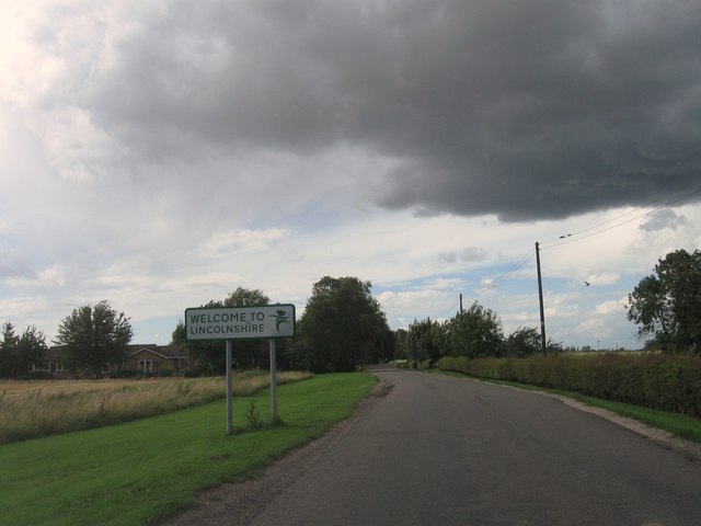
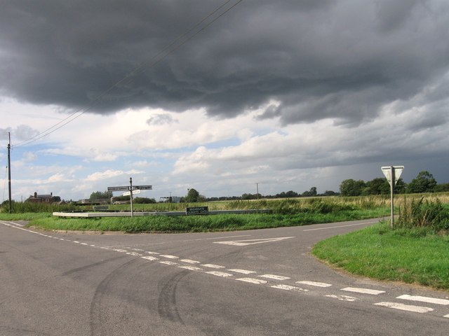
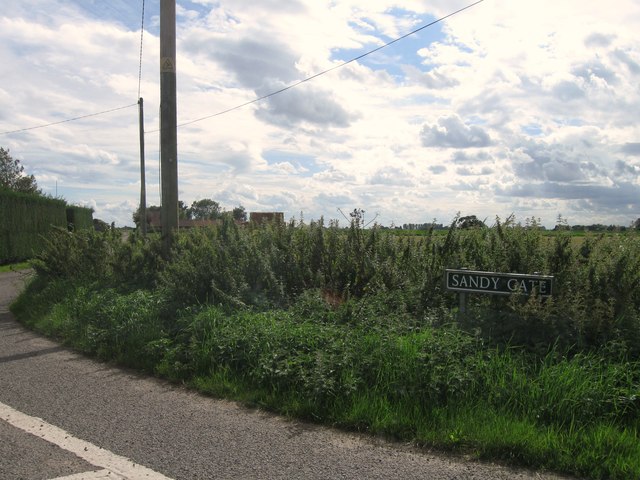
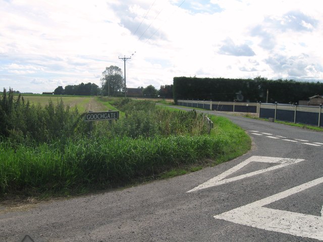
Eaugate Field Images
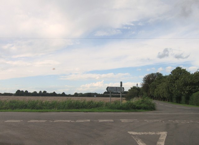
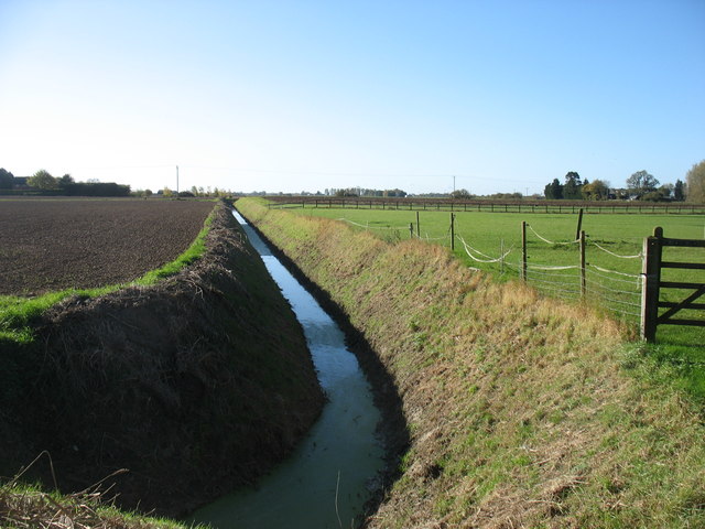
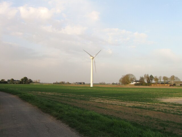
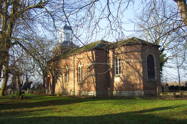
Images are sourced within 2km of 52.721764/0.060285326 or Grid Reference TF3915. Thanks to Geograph Open Source API. All images are credited.


Eaugate Field is located at Grid Ref: TF3915 (Lat: 52.721764, Lng: 0.060285326)
Division: Isle of Ely
Administrative County: Cambridgeshire
District: Fenland
Police Authority: Cambridgeshire
What 3 Words
///marker.unwound.roofer. Near Gedney Hill, Lincolnshire
Nearby Locations
Related Wikis

Sutton St James
Sutton St James is a village and civil parish in the South Holland district of Lincolnshire, England, about four miles (6.4 km) south-west of Long Sutton...

Grange Farm Arboretum
The Grange Farm Arboretum is a small private arboretum comprising 3 hectares accommodating over 800 trees, mostly native and ornamental species or cultivars...

Tydd St Giles
Tydd St Giles is a village in Fenland, Cambridgeshire, England. It is the northernmost village in the Isle of Ely, Cambridgeshire (bordering Lincolnshire...
Sutton St Edmund
Sutton St Edmunds is a village and civil parish in the South Holland district of Lincolnshire, England, about 14 miles (23 km) south-east from the town...
Nearby Amenities
Located within 500m of 52.721764,0.060285326Have you been to Eaugate Field?
Leave your review of Eaugate Field below (or comments, questions and feedback).