Langdridge Fen

Downs, Moorland in Cambridgeshire South Cambridgeshire

England

Langdridge Fen

Hanson sand and gravel quarry The area will be added to the RSPB Ouse Fen reserve when extraction is completed.
Hanson sand and gravel quarry Credit: Hugh Venables

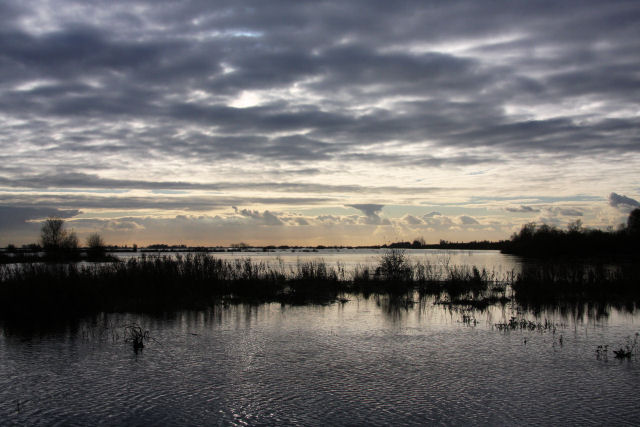
Langdridge Fen is a diverse and picturesque natural landscape located in Cambridgeshire, England. Covering an area of approximately 500 hectares, it is a unique combination of downs and moorland, offering visitors a variety of stunning views and habitats to explore.

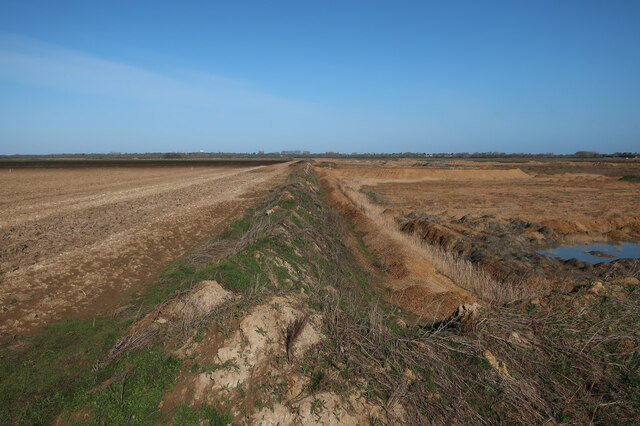
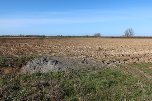
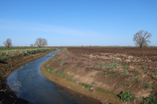
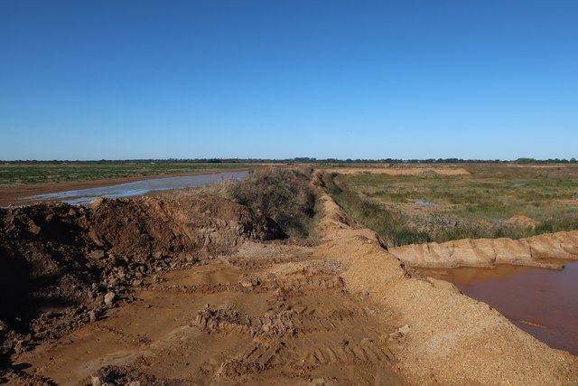
The fen is characterized by its open, undulating grasslands, which are interspersed with patches of wetland and heathland. The downs section of Langdridge Fen boasts rich chalk grasslands, characterized by a diverse range of plant species such as wildflowers, orchids, and rare grasses. These grasslands provide a haven for numerous insects, birds, and small mammals.

Moving towards the moorland section of the fen, the landscape changes dramatically. Here, visitors can witness the beauty of the expansive heather-covered moors, which create a vibrant purple carpet during the summer months. This area is home to a variety of bird species, including the iconic curlew and the elusive merlin.

Langdridge Fen is also well-known for its diverse range of wildlife. The fen provides an important habitat for many rare and endangered species, such as the fen orchid and the silver studded blue butterfly. Additionally, visitors may have the opportunity to spot mammals such as hares, foxes, and deer.

The fen is a popular destination for nature enthusiasts, offering several walking trails and bird-watching hides for visitors to enjoy. With its stunning landscapes, rich biodiversity, and peaceful atmosphere, Langdridge Fen is a true gem of Cambridgeshire.

If you have any feedback on the listing, please let us know in the comments section below.

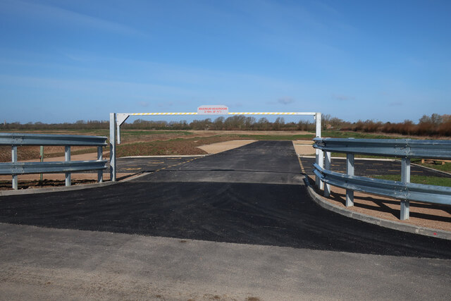
Langdridge Fen Images

Images are sourced within 2km of 52.334594/0.033890419 or Grid Reference TL3872. Thanks to Geograph Open Source API. All images are credited.

Hanson sand and gravel quarry The area will be added to the RSPB Ouse Fen reserve when extraction is completed.
Hanson sand and gravel quarry
The area will be added to the RSPB Ouse Fen reserve when extraction is completed.
Edge of the quarry The quarry will spread across the farmland and then the area will be added to the RSPB Ouse Fen reserve when extraction is completed to create a large wetland.
Edge of the quarry
The quarry will spread across the farmland and then the area will be added to the RSPB Ouse Fen reserve when extraction is completed to create a large wetland.
Field by the quarry The quarry will soon expand across this area as well.
Field by the quarry
The quarry will soon expand across this area as well.
Diverted drainage ditch The IDB drains need to be moved as the quarry expands, with the bridleway diverted to match.
Diverted drainage ditch
The IDB drains need to be moved as the quarry expands, with the bridleway diverted to match.
Hanson Aggregates quarry Sand and gravel quarry that is being turned into a wetland RSPB reserve after extraction has lowered the ground level.
Hanson Aggregates quarry
Sand and gravel quarry that is being turned into a wetland RSPB reserve after extraction has lowered the ground level.
Hanson Aggregates quarry Sand and gravel quarry that is being turned into a wetland RSPB reserve after extraction has lowered the ground level.
Hanson Aggregates quarry
Sand and gravel quarry that is being turned into a wetland RSPB reserve after extraction has lowered the ground level.
Current edge of the quarry A spreading sand and gravel quarry that is being turned into a wetland RSPB reserve after it has lowered the ground level.
Current edge of the quarry
A spreading sand and gravel quarry that is being turned into a wetland RSPB reserve after it has lowered the ground level.
Bridleway by the edge of the quarry The bridleway has been rerouted around the quarry.
Bridleway by the edge of the quarry
The bridleway has been rerouted around the quarry.
Bridleway across Mere Holes Following a circuitous route to Earith.
Bridleway across Mere Holes
Following a circuitous route to Earith.
Engine Drain Draining the farmland to a nearby pumping station by the River Great Ouse.
Engine Drain
Draining the farmland to a nearby pumping station by the River Great Ouse.
Looking towards Bridge Farm
Weathersome Common Bridleway along the ditch.
Weathersome Common
Bridleway along the ditch.
Engine Drain Draining the farmland to a nearby pumping station by the River Great Ouse.
Engine Drain
Draining the farmland to a nearby pumping station by the River Great Ouse.
Ditch across Mere Holes
Bridleway to Earith
Bridleway to Earith
Ouse Fen RSPB car park A new car park off the B1050 near Earith, very soon before it opened.
Ouse Fen RSPB car park
A new car park off the B1050 near Earith, very soon before it opened.
Diverted bridleway Moved to go round the spreading sand and gravel quarry.
Diverted bridleway
Moved to go round the spreading sand and gravel quarry.
Farmland at Mere Holes Soon to be a mere hole once the quarry gets here, but then, with the ground surface lowered and the land handed on to the RSPB, it will be turned into a true wetland mere again.
Farmland at Mere Holes
Soon to be a mere hole once the quarry gets here, but then, with the ground surface lowered and the land handed on to the RSPB, it will be turned into a true wetland mere again.
Show me another place!

Langdridge Fen is located at Grid Ref: TL3872 (Lat: 52.334594, Lng: 0.033890419)

Administrative County: Cambridgeshire

District: South Cambridgeshire

Police Authority: Cambridgeshire

What 3 Words

///flock.reforming.adopters. Near Earith, Cambridgeshire

Nearby Locations

Langdridge Fen

Related Wikis

New Bedford River

The New Bedford River, also known as the Hundred Foot Drain because of the distance between the tops of the two embankments on either side of the river...

Earith

Earith is a village and civil parish in Cambridgeshire, England. Lying approximately 10 miles (16 km) east of Huntingdon, Earith is situated within Huntingdonshire...

Berry Fen

Berry Fen is a 15.3-hectare (38-acre) biological Site of Special Scientific Interest on the western outskirts of Earith in Cambridgeshire.This neutral...

Bluntisham

Bluntisham is a village and civil parish in Cambridgeshire, England. The population of the civil parish at the 2011 census was 2,003. Bluntisham lies approximately...

Earith Bridge railway station

Earith Bridge railway station was a station in Earith, Cambridgeshire on the Ely and St Ives Railway. It was closed to regular passenger trains in 1931...

Old Bedford River

The Old Bedford River is an artificial, partial diversion of the waters of the River Great Ouse in the Fens of Cambridgeshire, England. It was named after...

Cambridgeshire

Cambridgeshire (abbreviated Cambs.) is a ceremonial county in the East of England and East Anglia. It is bordered by Lincolnshire to the north, Norfolk...

List of Sites of Special Scientific Interest in Cambridgeshire

Cambridgeshire is a county in eastern England, with an area of 339,746 hectares (1,312 sq mi) and a population as of mid-2015 of 841,218. It is crossed...

Nearby Amenities

Located within 500m of 52.334594,0.033890419
Langdridge Fen
Place: locality
Lat/Long: 52.334464/0.0365729
Barrier: yes
Description: 4 foot high pile of sand/earth at end of road.
Lat/Long: 52.3382842/0.0335603
The data included in this document is from www.openstreetmap.org. The data is made available under ODbL.

Have you been to Langdridge Fen?

Leave your review of Langdridge Fen below (or comments, questions and feedback).