L Moor
Downs, Moorland in Cambridgeshire South Cambridgeshire
England
L Moor

L Moor, Cambridgeshire is a small village located in the eastern part of England. Situated in the district of South Cambridgeshire, it is part of the civil parish of Caxton and Arrington. L Moor is surrounded by picturesque countryside and is known for its downs and moorland landscapes.
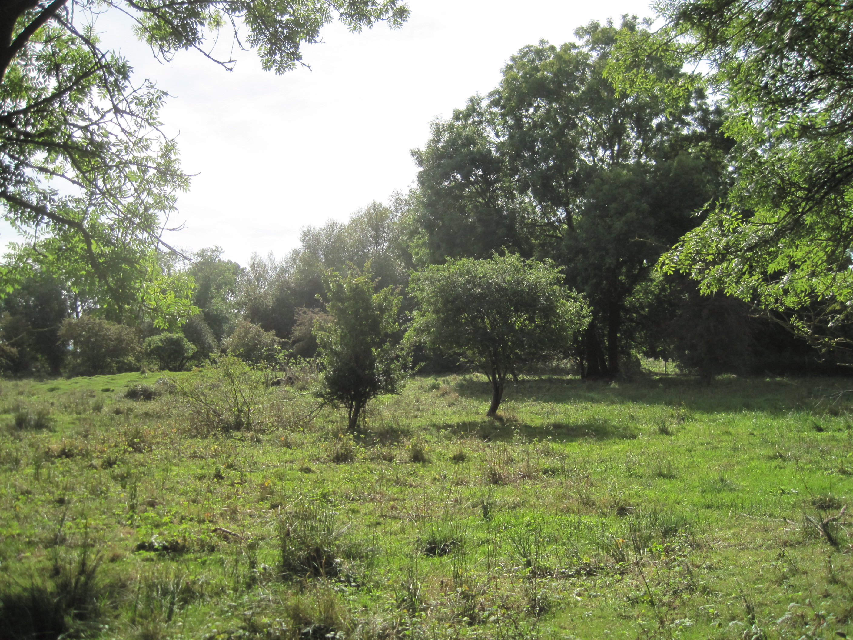
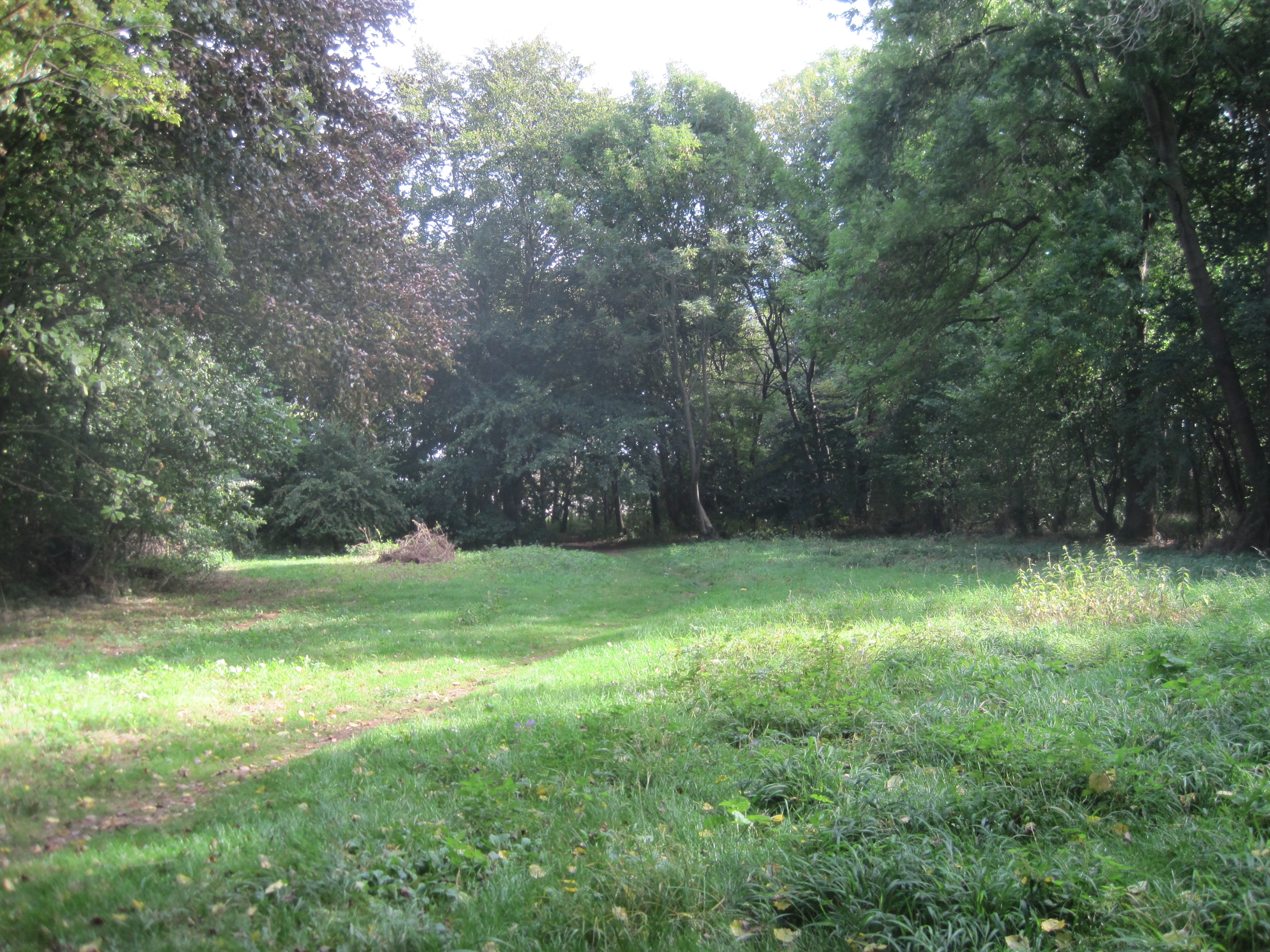
The village is home to a close-knit community of residents who enjoy the tranquility and natural beauty of the area. The downs, which are rolling hills, provide stunning views of the surrounding countryside and are perfect for walks and hikes. The moorland, on the other hand, offers a more rugged and wild terrain, attracting nature enthusiasts and bird watchers.
L Moor is primarily a residential area, with a mix of traditional cottages and modern houses. The village has a small number of amenities, including a local pub and a village hall, which serves as a gathering place for community events. The nearest town, Cambridge, is approximately 12 miles away and offers a wider range of services and facilities.
The village is well-connected to the surrounding areas by road, with the A428 running nearby, providing easy access to major cities like Cambridge, Bedford, and London. Public transportation is limited, with a few bus services operating in the area.
Overall, L Moor offers a peaceful and idyllic setting for residents who enjoy the beauty of the English countryside and a close-knit community spirit. It is a place where nature lovers can immerse themselves in the stunning downs and moorland landscapes.
If you have any feedback on the listing, please let us know in the comments section below.
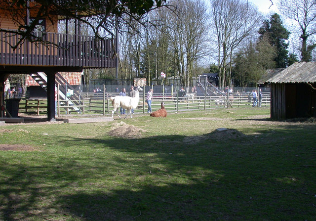
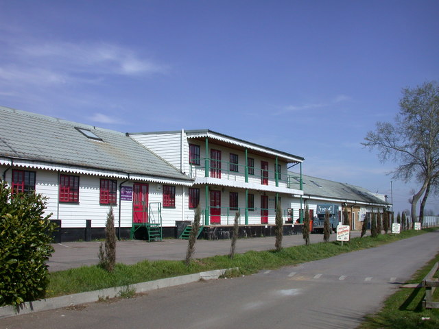
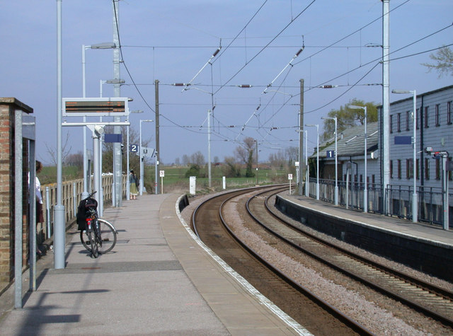
L Moor Images
Images are sourced within 2km of 52.107666/0.019925425 or Grid Reference TL3847. Thanks to Geograph Open Source API. All images are credited.


L Moor is located at Grid Ref: TL3847 (Lat: 52.107666, Lng: 0.019925425)
Administrative County: Cambridgeshire
District: South Cambridgeshire
Police Authority: Cambridgeshire
What 3 Words
///reservoir.grandson.luxury. Near Meldreth, Cambridgeshire
Nearby Locations
Related Wikis
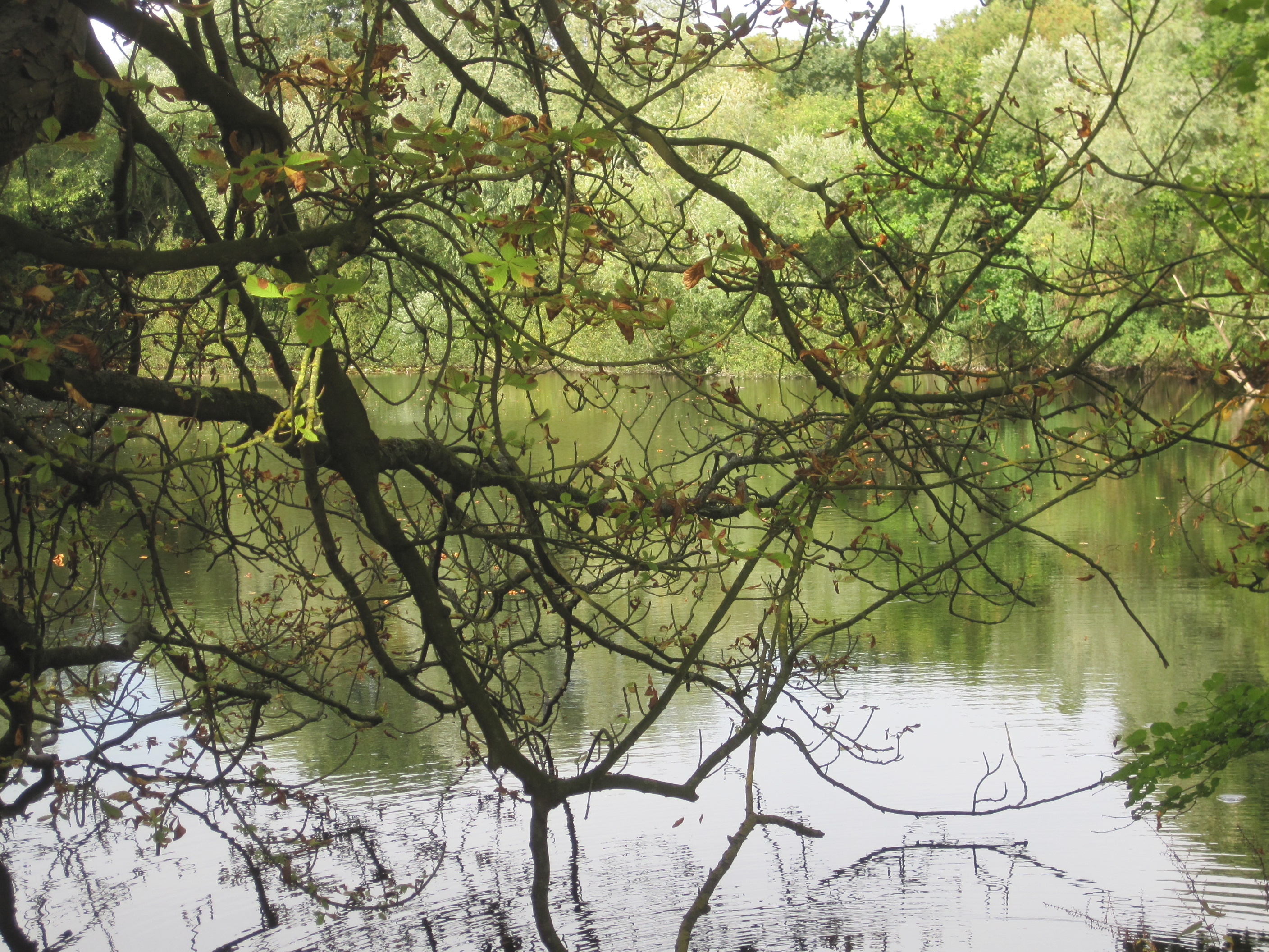
L-Moor, Shepreth
L-Moor, Shepreth is a 6.6-hectare (16-acre) biological Site of Special Scientific Interest in Shepreth in Cambridgeshire. It is managed by the Wildlife...

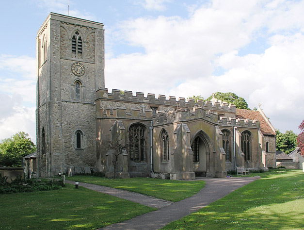
Shepreth
Shepreth is a small village and civil parish in South Cambridgeshire, lying halfway between Cambridge and Royston. == History == The parish of Shepreth...

Shepreth railway station
Shepreth railway station serves the village of Shepreth in Cambridgeshire, England. The station is on the Cambridge Line, 49 miles 67 chains (49.84 miles...
Melwood Local Nature Reserve
Melwood is a 0.6 hectare Local Nature Reserve in Meldreth in Cambridgeshire, England. It is owned by Cambridgeshire County Council and managed by the Melwood...
Meldreth
Meldreth is a village and civil parish in South Cambridgeshire, England, located around 10 miles (16 km) south-west of Cambridge. At the 2011 Census, the...
Barrington Pit
Barrington Pit is a 3.8-hectare (9.4-acre) geological Site of Special Scientific Interest near Barrington in Cambridgeshire. It is a Geological Conservation...
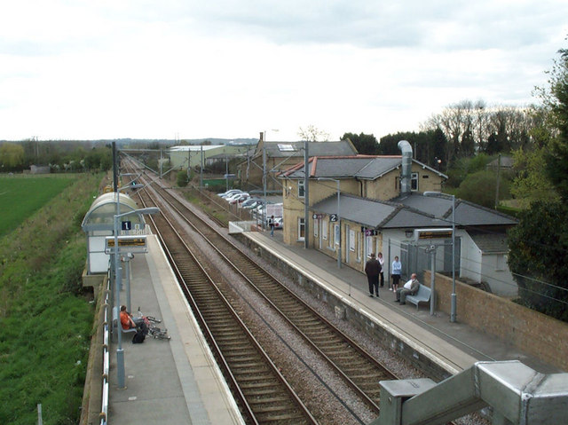
Meldreth railway station
Meldreth railway station serves the villages of Meldreth and Melbourn in Cambridgeshire, England. It is 47 miles 75 chains (47.94 miles, 77.15 km) from...

Melbourn Village College
Melbourn Village College is a secondary school with academy status, located in Melbourn, Cambridgeshire, England that serves an extensive area of South...
Nearby Amenities
Located within 500m of 52.107666,0.019925425Have you been to L Moor?
Leave your review of L Moor below (or comments, questions and feedback).