Burleigh Common
Downs, Moorland in Hertfordshire East Hertfordshire
England
Burleigh Common
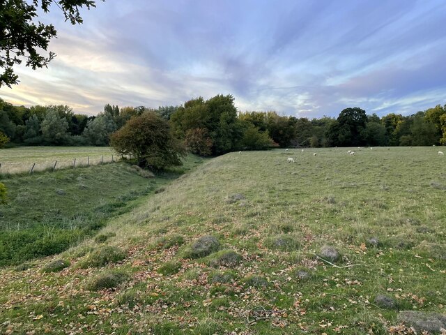
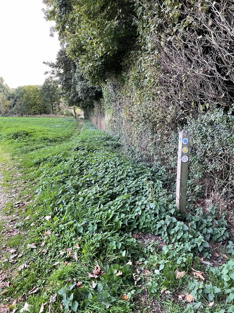
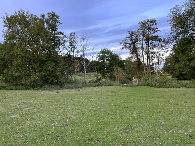
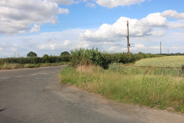
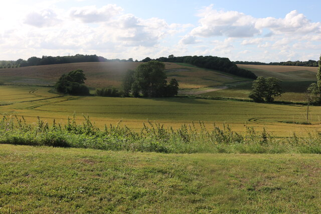
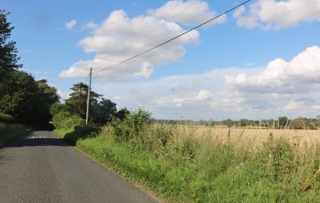
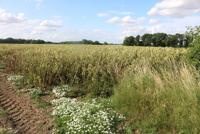
Burleigh Common is a picturesque area located in Hertfordshire, England. Stretching across vast expanses of downs and moorland, this natural landscape offers visitors a tranquil and serene environment. With its diverse range of habitats, Burleigh Common is a haven for wildlife enthusiasts and nature lovers.
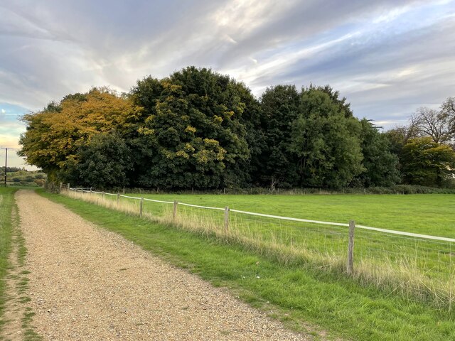
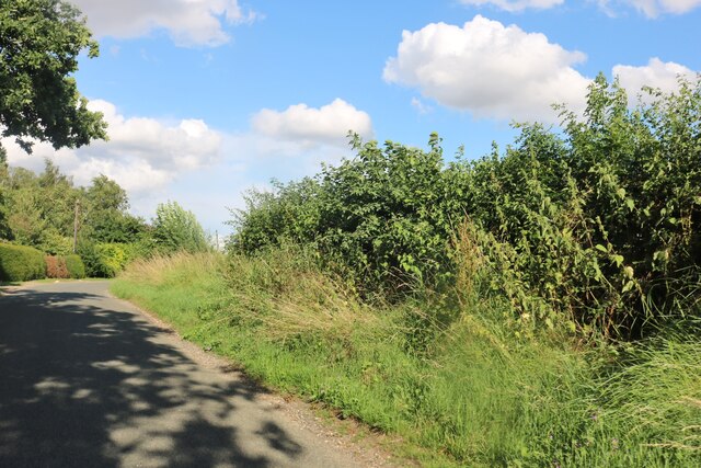
The downs of Burleigh Common are characterized by gently rolling hills covered in lush grasses and vibrant wildflowers. These open spaces provide a breathtaking backdrop for walking, picnicking, and enjoying panoramic views of the surrounding countryside. The moorland, on the other hand, consists of heathland and peat bogs, creating a unique and distinct ecosystem. Here, visitors can witness rare plant species, such as heather and gorse, thriving in their natural habitat.
The common is home to a rich variety of wildlife, including several species of birds, mammals, and insects. Birdwatchers can spot buzzards, kestrels, and skylarks soaring through the sky, while mammals like rabbits, foxes, and deer can often be spotted grazing or foraging amidst the vegetation. In the summer months, the air is filled with the gentle hum of bees and butterflies fluttering from flower to flower.
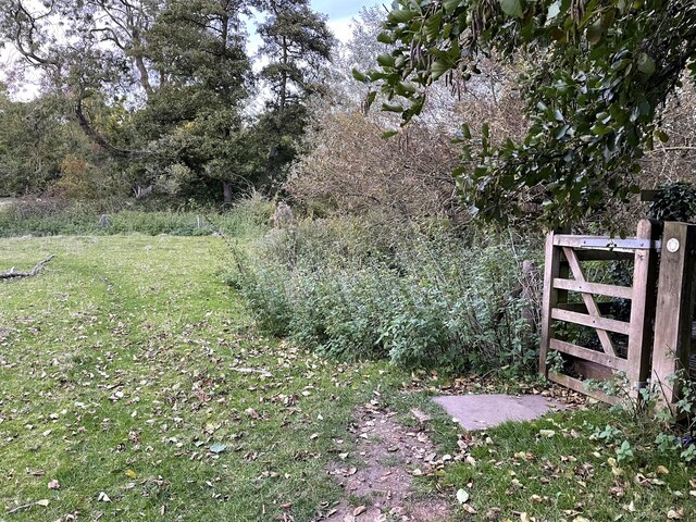
Burleigh Common offers a range of outdoor activities for visitors to enjoy. There are walking trails that meander through the downs and moorland, allowing visitors to explore the area at their own pace. Nature photography is also a popular pastime here, with stunning vistas and unique flora and fauna providing endless opportunities for capturing the beauty of this natural landscape.
Overall, Burleigh Common is a hidden gem within Hertfordshire, offering a peaceful retreat from the hustle and bustle of everyday life. Its downs and moorland provide a sanctuary for both wildlife and humans alike, making it a must-visit destination for those seeking to connect with nature.
If you have any feedback on the listing, please let us know in the comments section below.
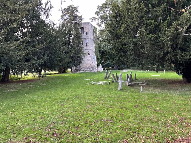
Burleigh Common Images
Images are sourced within 2km of 51.838368/0.007486488 or Grid Reference TL3817. Thanks to Geograph Open Source API. All images are credited.


Burleigh Common is located at Grid Ref: TL3817 (Lat: 51.838368, Lng: 0.007486488)
Administrative County: Hertfordshire
District: East Hertfordshire
Police Authority: Hertfordshire
What 3 Words
///spun.tester.album. Near Ware, Hertfordshire
Nearby Locations
Related Wikis

Cold Christmas
Cold Christmas is a small hamlet in the civil parish of Thundridge, in the East Hertfordshire district, in the county of Hertfordshire, England. It is...
Barwick, Hertfordshire
Barwick, Great Barwick, and Little Barwick (Berewyk 14th century, and Barrack 19th century) are hamlets in the civil parish of Standon in Hertfordshire...

Youngsbury
Youngsbury House is a Grade II listed house near Wadesmill, Hertfordshire, England. The stable block is Grade II* listed.The house was built in about 1745...

Wareside
Wareside is a small village and civil parish in the East Hertfordshire district, in the county of Hertfordshire, England. The population of the civil parish...

Fanhams Hall
Fanhams Hall is an 18th-century Queen Anne House-style country house in Wareside, Hertfordshire in the south east of England. It is a Grade II* listed...
Babbs Green
Babbs Green is a hamlet in the civil parish of Wareside, in the East Hertfordshire district of Hertfordshire, England, located around 3 miles (5 km) north...
Bakers End
Bakers End is a hamlet in the civil parish of Wareside, in the East Hertfordshire district, in the county of Hertfordshire, England.

High Cross, East Hertfordshire
High Cross is a village in the civil parish of Thundridge, in the East Hertfordshire district, in Hertfordshire, England. It lies upon what was the A10...
Nearby Amenities
Located within 500m of 51.838368,0.007486488Have you been to Burleigh Common?
Leave your review of Burleigh Common below (or comments, questions and feedback).