Sweeting's Fen

Downs, Moorland in Cambridgeshire Fenland

England

Sweeting's Fen

Field east of the Whitemoor Road level crossing
Field east of the Whitemoor Road level crossing Credit: Christopher Hilton

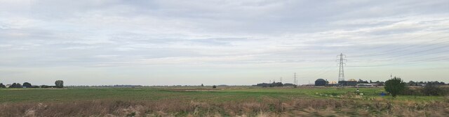
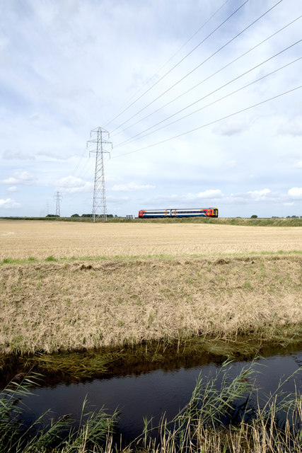
Sweeting's Fen is a nature reserve located in Cambridgeshire, England, known for its unique and diverse landscape. The fen is situated in the south of the county, near the village of Upware, and covers an area of approximately 100 hectares.

One of the defining features of Sweeting's Fen is its rich fenland habitat, which consists of wet meadows, reed beds, and open water areas. It is home to a wide range of plant species, including rare orchids such as the fen orchid and the marsh helleborine. The reserve also boasts a variety of bird species, making it a popular spot for birdwatching. Visitors may be lucky enough to spot the iconic bittern, as well as kingfishers, herons, and various waterfowl.

In addition to its fenland habitat, Sweeting's Fen also encompasses areas of heathland and woodland. These habitats provide a home for numerous species of insects, reptiles, and small mammals. The reserve is particularly known for its population of adders, a venomous snake species that thrives in the heathland environment.

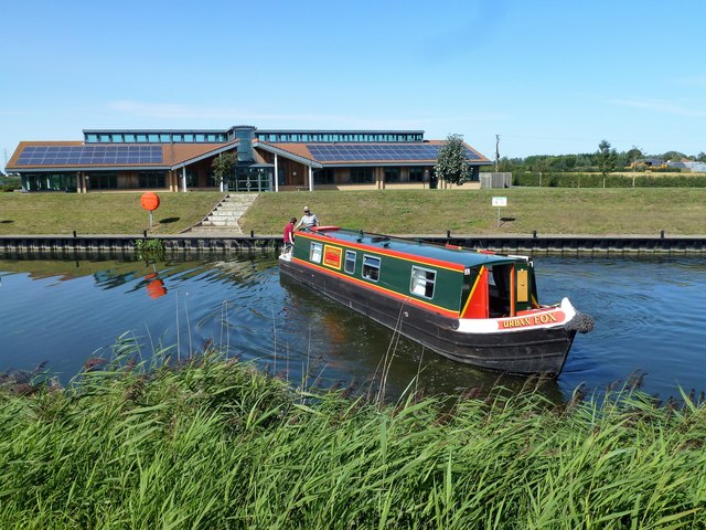
Sweeting's Fen offers a network of footpaths and boardwalks, allowing visitors to explore the reserve and observe its wildlife. The reserve is managed by the Wildlife Trust for Bedfordshire, Cambridgeshire, and Northamptonshire, which actively works to protect and enhance the site's biodiversity.

Overall, Sweeting's Fen is an important and diverse nature reserve, offering visitors the opportunity to experience the beauty and tranquility of Cambridgeshire's unique fenland landscape.

If you have any feedback on the listing, please let us know in the comments section below.

Sweeting's Fen Images

Images are sourced within 2km of 52.553679/0.03655871 or Grid Reference TL3897. Thanks to Geograph Open Source API. All images are credited.

Field east of the Whitemoor Road level crossing
Farmland west of the Whitemoor Road level crossing, from the railway
Looking north from the railway towards buildings on Whitemoor Road
Farm buildings on Middle Road, from a passing train
Looking north from the railway towards Otter Holts Farm on Middle Road
West Fen, from the railway The diagonal green line in the field on the left marks the course of West Fen Drain.  The houses in the distance are on Whitemoor Road.
West Fen, from the railway
The diagonal green line in the field on the left marks the course of West Fen Drain. The houses in the distance are on Whitemoor Road.
West Fen Drain, from the railway
West Fen, from the railway
Railway to March across West Fen; Middle Road LC: aerial 2016
Nene (Old Course) west of March, Botany Bay: aerial 2016 One of the earliest mapped courses of the River Nene, from Peterborough to The Wash, was around Whittlesey Mere, through Benwick, March and Upwell, eventually joining The Well Stream at Outwell which flowed to the then coastal town of Wisbech. Over the centuries a straight channel was dug through the marshes north of Wisbech to the current outfall north of Sutton Bridge and the land on either side reclaimed. There are numerous visible sections of the old coastal banks on both sides of the River Nene north of Wisbech, see <a title="https://www.geograph.org.uk/photo/2207164" href="https://www.geograph.org.uk/photo/2207164">Link</a>.
One of the earliest attempts to improve the flow of water from Peterborough to the coast and reduce flooding in the Fens was made by Bishop Morton who had a straight channel dug in the late 15th century from Peterborough to Wisbech known as Morton’s Leam, see <a title="https://www.geograph.org.uk/photo/1737089" href="https://www.geograph.org.uk/photo/1737089">Link</a>  In the early 1700s a new and much larger straight channel was dug from Peterborough to Wisbech called Smith's Leam, parallel to and just north of Morton’s Leam, to improve the flow of water from Peterborough to the sea. Morton’s Leam from Guyhirn to Wisbech was incorporated into Smith’s Leam and the remainder of Morton’s Leam from Peterborough to Guyhirn became the main artery into and out of the Nene Washes which were created between Guyhirn and Peterborough.
Smith’s Leam is now known as the River Nene and the original meandering river from Peterborough to Marmont Priory Lock in Upwell is now known as The River Nene (Old course), see <a title="https://www.geograph.org.uk/photo/2888565" href="https://www.geograph.org.uk/photo/2888565">Link</a>.
Nene (Old Course) west of March, Botany Bay: aerial 2016
One of the earliest mapped courses of the River Nene, from Peterborough to The Wash, was around Whittlesey Mere, through Benwick, March and Upwell, eventually joining The Well Stream at Outwell which flowed to the then coastal town of Wisbech. Over the centuries a straight channel was dug through the marshes north of Wisbech to the current outfall north of Sutton Bridge and the land on either side reclaimed. There are numerous visible sections of the old coastal banks on both sides of the River Nene north of Wisbech, see Link. One of the earliest attempts to improve the flow of water from Peterborough to the coast and reduce flooding in the Fens was made by Bishop Morton who had a straight channel dug in the late 15th century from Peterborough to Wisbech known as Morton’s Leam, see Link In the early 1700s a new and much larger straight channel was dug from Peterborough to Wisbech called Smith's Leam, parallel to and just north of Morton’s Leam, to improve the flow of water from Peterborough to the sea. Morton’s Leam from Guyhirn to Wisbech was incorporated into Smith’s Leam and the remainder of Morton’s Leam from Peterborough to Guyhirn became the main artery into and out of the Nene Washes which were created between Guyhirn and Peterborough. Smith’s Leam is now known as the River Nene and the original meandering river from Peterborough to Marmont Priory Lock in Upwell is now known as The River Nene (Old course), see Link.
Urban Fox turning on the River Nene (old course) near March ...
Urban Fox turning on the River Nene (old course) near March
...
Middle Level Commissioners office near March On the bank of The River nene (old course) 
<span class="nowrap"><a title="https://middlelevel.gov.uk/" rel="nofollow ugc noopener" href="https://middlelevel.gov.uk/">Link</a><img style="margin-left:2px;" alt="External link" title="External link - shift click to open in new window" src="https://s1.geograph.org.uk/img/external.png" width="10" height="10"/></span>
Middle Level Commissioners office near March
On the bank of The River nene (old course) LinkExternal link
Freight train crossing the fens 66784 “Keighley & Worth Valley Railway : 50th Anniversary 1968 – 2018” going away with the 11:30 Whitemoor to Doncaster Up Decoy Yard freight train.
Freight train crossing the fens
66784 “Keighley & Worth Valley Railway : 50th Anniversary 1968 – 2018” going away with the 11:30 Whitemoor to Doncaster Up Decoy Yard freight train.
A class 158 crossing the fens A 158 unit going away with the 09:57 Norwich to Liverpool Lime Street train, seen 2 miles west of March.
A class 158 crossing the fens
A 158 unit going away with the 09:57 Norwich to Liverpool Lime Street train, seen 2 miles west of March.
Tufts No1 occupational level crossing
Freight train approaching March 66710 “Phil Packer BRIT” passing with the 06:58 Doncaster Decoy to Whitemoor train, taken near Middle Road Crossing (West of March)
Freight train approaching March
66710 “Phil Packer BRIT” passing with the 06:58 Doncaster Decoy to Whitemoor train, taken near Middle Road Crossing (West of March)
Show me another place!

Sweeting's Fen is located at Grid Ref: TL3897 (Lat: 52.553679, Lng: 0.03655871)

Division: Isle of Ely

Administrative County: Cambridgeshire

District: Fenland

Police Authority: Cambridgeshire

What 3 Words

///lordship.requires.ramps. Near March, Cambridgeshire

Nearby Locations

Sweeting's Fen

Related Wikis

Westry

Westry is a village in Cambridgeshire, England. It lies to the northwest of March on the A141 to Wisbech. The Church of St Mary was erected in 1873 to...

Fen Causeway

Fen Causeway or the Fen Road is the modern name for a Roman road of England that runs between Denver, Norfolk in the east and Peterborough in the west...

Fenland District

Fenland is a local government district in Cambridgeshire, England. It was historically part of the Isle of Ely. The district covers around 500 square kilometres...

Gault Wood

Gault Wood is a woodland in Cambridgeshire, England, near the town of March. It covers a total area of 6.51 hectares (16.09 acres). It is owned and managed...

The Avenue Sports Club Ground

The Avenue Sports Club Ground is a cricket ground in March, Cambridgeshire. The ground was established in 1939, when Cambridgeshire played Suffolk in...

March Town United F.C.

March Town United Football Club is a football club based in March, Cambridgeshire, England. They are currently members of the United Counties League Premier...
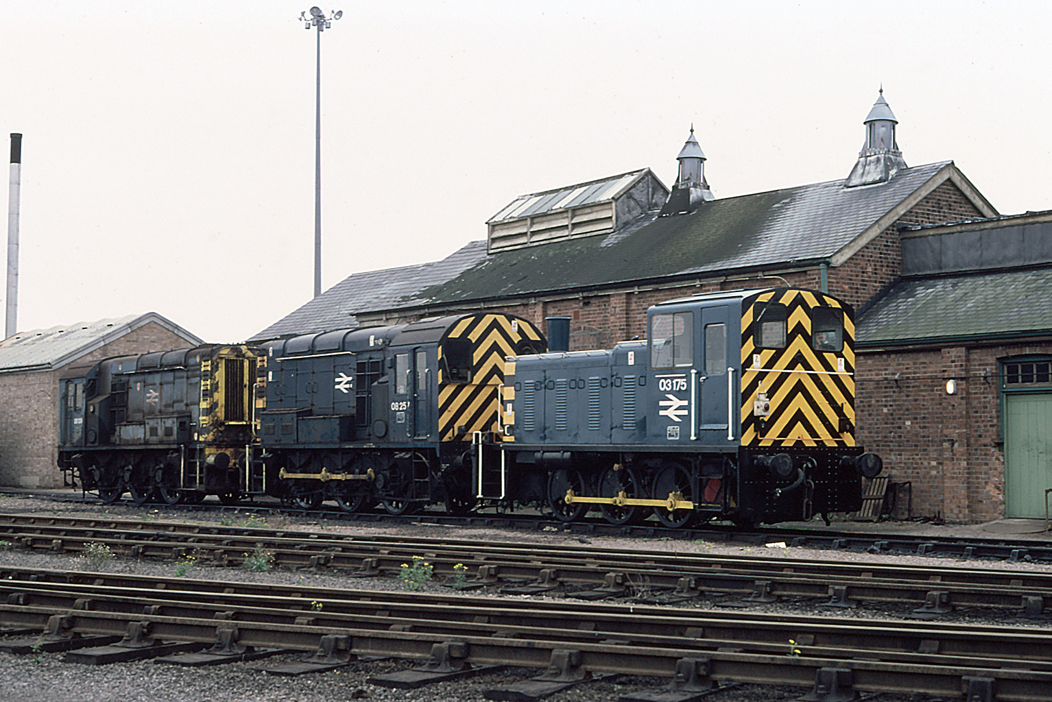
March TMD

March TMD is a railway traction maintenance depot situated near March, England. March was a steam locomotive shed under British Railways with the depot...

March, Cambridgeshire

March is a Fenland market town and civil parish in the Isle of Ely area of Cambridgeshire, England. It was the county town of the Isle of Ely which was...

Nearby Amenities

Located within 500m of 52.553679,0.03655871
Kisby
Crossing Activation: user
Crossing Light: no
Crossing Supervision: phone
Railway: level_crossing
Self Service: yes
Lat/Long: 52.5577545/0.0348374
Power: tower
Lat/Long: 52.5549561/0.0349709
Power: tower
Lat/Long: 52.5554747/0.0305345
Power: tower
Lat/Long: 52.5544343/0.0394663
Kisby
Crossing Activation: user
Crossing Light: no
Crossing Supervision: phone
Railway: level_crossing
Self Service: yes
Lat/Long: 52.5577909/0.0348335
Phone
Emergency: phone
Note: telephone to check track is clear
Lat/Long: 52.5576758/0.0347985
Phone
Emergency: phone
Note: telephone to check track is clear
Lat/Long: 52.5578715/0.0348732
The data included in this document is from www.openstreetmap.org. The data is made available under ODbL.

Have you been to Sweeting's Fen?

Leave your review of Sweeting's Fen below (or comments, questions and feedback).