Ashridge Common

Downs, Moorland in Hertfordshire East Hertfordshire

England

Ashridge Common

Trees along the river Rib and Thundridge church tower
Trees along the river Rib and Thundridge church tower Credit: Philip Jeffrey

Ashridge Common, located in Hertfordshire, England, is a vast and picturesque expanse of land that encompasses downs and moorland. Covering an area of approximately 5,000 acres, it is managed by the National Trust and offers visitors a unique and diverse natural environment.

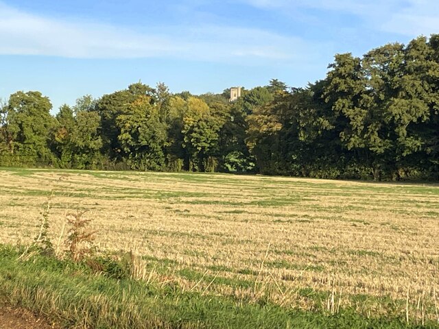
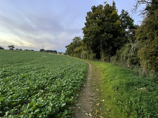
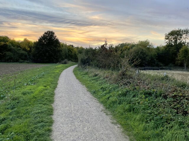
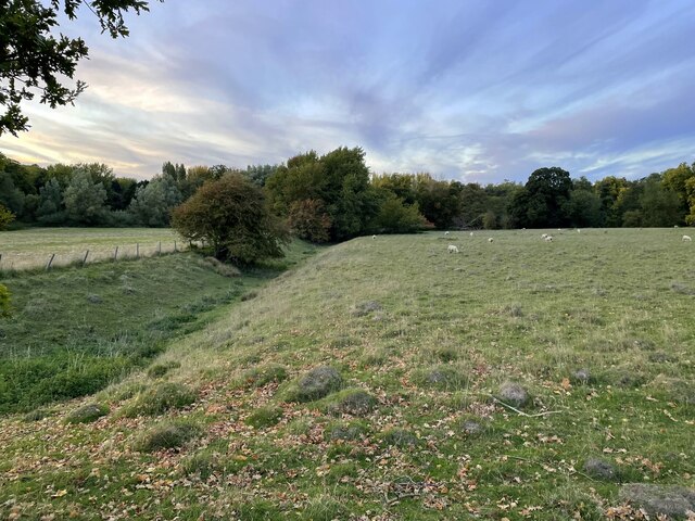
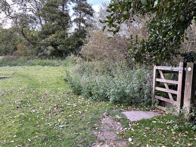
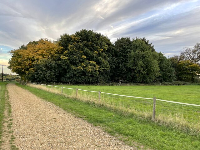
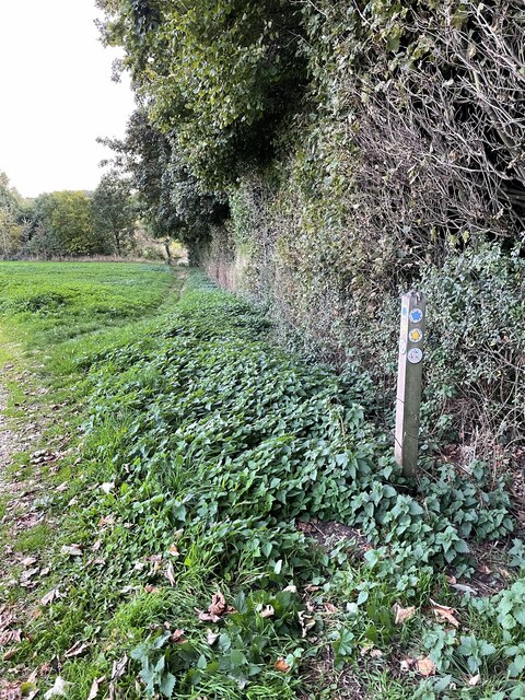
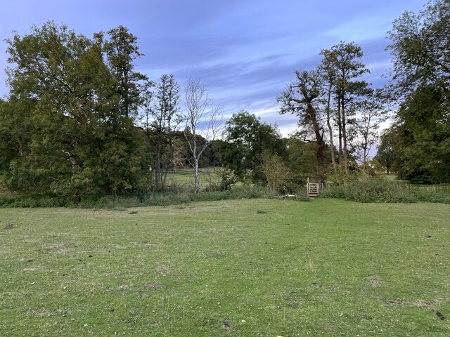
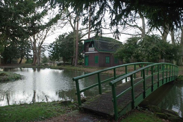
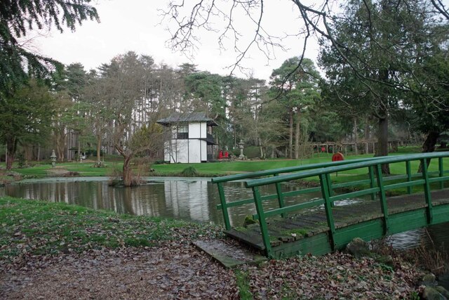
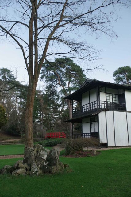
The common is characterized by its rolling hills, open grasslands, and heathland, providing a rich habitat for a wide variety of flora and fauna. The landscape is dotted with ancient woodlands, including beech and oak trees, which add to the area's natural beauty. Visitors can enjoy leisurely walks through the common, taking in the breathtaking views of the surrounding countryside.

Wildlife enthusiasts will find Ashridge Common to be a haven for biodiversity. The diverse habitats support a range of species, including deer, foxes, badgers, and numerous bird species. The common is particularly renowned for its butterfly population, with several rare and endangered species making their home here.

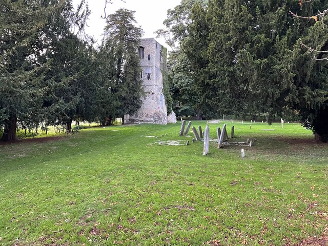
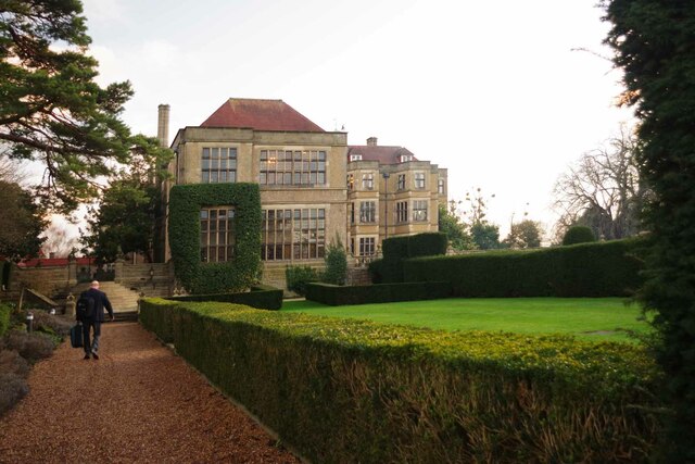
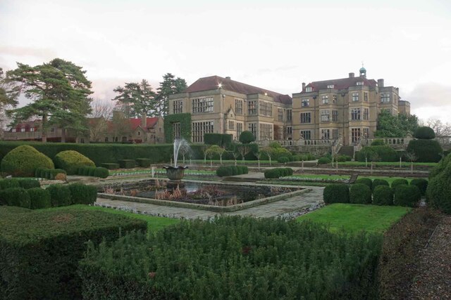
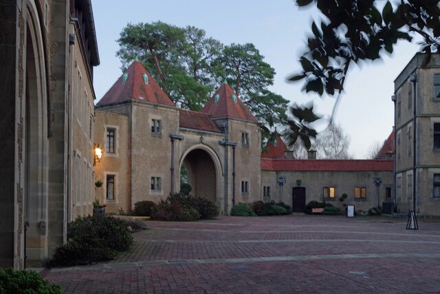
In addition to its natural attractions, Ashridge Common is also steeped in history. The area has a rich heritage, with evidence of human habitation dating back thousands of years. Visitors can explore the remains of an Iron Age hill fort and the ruins of Ashridge House, a former monastery turned stately home.

Ashridge Common offers a tranquil and idyllic escape from the hustle and bustle of city life. Whether it's a leisurely stroll, wildlife spotting, or a delve into history, visitors to this unique area will undoubtedly find something to captivate them.

If you have any feedback on the listing, please let us know in the comments section below.

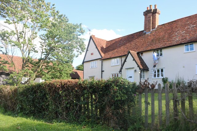
Ashridge Common Images

Images are sourced within 2km of 51.831237/-0.007286293 or Grid Reference TL3716. Thanks to Geograph Open Source API. All images are credited.

Trees along the river Rib and Thundridge church tower
Footpath to Marshall's Lane
The Feathers Inn in Wadesmill
Hertfordshire Way going west along Old Church Lane
Moat ditch near the ruined church
Ruined church near Thundridge
Gate on the footpath to Fabdens
Woodland by the footpath to Fabdens
Footpath to Old Church Lane
Footpath heading over the river Rib
Fanhams Hall Now a Country House Hotel, this C18th Jacobean style mansion (remodelled in 1901) is Grade II listed. It was the former home to Henry Page-Croft, Winston Churchill's Under Secretary of State for War.
Fanhams Hall
Now a Country House Hotel, this C18th Jacobean style mansion (remodelled in 1901) is Grade II listed. It was the former home to Henry Page-Croft, Winston Churchill's Under Secretary of State for War.
Fanhams Hall & Formal Gardens Just a small part of the gardens of <a href="https://www.geograph.org.uk/photo/7380046">TL3715 : Fanhams Hall</a>
Fanhams Hall & Formal Gardens
Just a small part of the gardens of TL3715 : Fanhams Hall
The Courtyard at Fanhams Hall The courtyard of <a href="https://www.geograph.org.uk/photo/7380046">TL3715 : Fanhams Hall</a>
The Courtyard at Fanhams Hall
The courtyard of TL3715 : Fanhams Hall
Bridge & Austrian Tea Room Part of the gardens of <a href="https://www.geograph.org.uk/photo/7380046">TL3715 : Fanhams Hall</a>
Bridge & Austrian Tea Room
Part of the gardens of TL3715 : Fanhams Hall
Bridge and Japanese Tea Room Part of the Japanese Gardens in <a href="https://www.geograph.org.uk/photo/7380046">TL3715 : Fanhams Hall</a>.
Bridge and Japanese Tea Room
Part of the Japanese Gardens in TL3715 : Fanhams Hall.
Japanese Tea House Part of the Japanese garden at <a href="https://www.geograph.org.uk/photo/7380046">TL3715 : Fanhams Hall</a>
Japanese Tea House
Part of the Japanese garden at TL3715 : Fanhams Hall
Road to Cowards, Thundridge
Cottage by Swangles Farm, Cold Christmas
Show me another place!

Ashridge Common is located at Grid Ref: TL3716 (Lat: 51.831237, Lng: -0.007286293)

Administrative County: Hertfordshire

District: East Hertfordshire

Police Authority: Hertfordshire

What 3 Words

///dangerously.tune.broke. Near Ware, Hertfordshire

Related Wikis

Cold Christmas

Cold Christmas is a small hamlet in the civil parish of Thundridge, in the East Hertfordshire district, in the county of Hertfordshire, England. It is...

Fanhams Hall

Fanhams Hall is an 18th-century Queen Anne House-style country house in Wareside, Hertfordshire in the south east of England. It is a Grade II* listed...

Babbs Green

Babbs Green is a hamlet in the civil parish of Wareside, in the East Hertfordshire district of Hertfordshire, England, located around 3 miles (5 km) north...

Bakers End

Bakers End is a hamlet in the civil parish of Wareside, in the East Hertfordshire district, in the county of Hertfordshire, England.

Youngsbury

Youngsbury House is a Grade II listed house near Wadesmill, Hertfordshire, England. The stable block is Grade II* listed.The house was built in about 1745...

Thundridge

Thundridge is a village and civil parish in the East Hertfordshire district, in the county of Hertfordshire, England. It is about two miles away from...
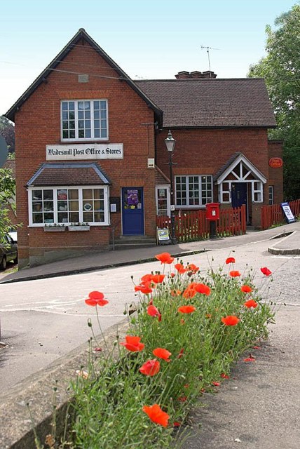
Wadesmill

Wadesmill is a hamlet in Hertfordshire, England, located on the north side of the River Rib, with an estimated population of 264. At the 2011 Census the...

Wodson Park F.C.

Wodson Park Football Club is a football club from Ware, Hertfordshire. The club is affiliated to the Hertfordshire County Football Association. The men...

Nearby Amenities

Located within 500m of 51.831237,-0.007286293
Cold Christmas
Place: hamlet
Wikidata: Q5142211
Lat/Long: 51.8343218/-0.002012
Material: wood
Power: pole
Lat/Long: 51.8328024/-0.005764
Material: wood
Power: pole
Lat/Long: 51.8296829/-0.0073063
Material: wood
Power: pole
Lat/Long: 51.827523/-0.0044229
Material: wood
Power: pole
Lat/Long: 51.8269876/-0.0066116
Material: wood
Power: pole
Lat/Long: 51.8316751/-0.0094833
Material: wood
Power: pole
Lat/Long: 51.8313753/-0.0079688
Material: wood
Power: pole
Lat/Long: 51.8305413/-0.007638
Material: wood
Power: pole
Lat/Long: 51.8277319/-0.0061074
Material: wood
Power: pole
Lat/Long: 51.8339942/-0.0039348
Material: wood
Power: pole
Lat/Long: 51.8318344/-0.00725
Material: wood
Power: pole
Lat/Long: 51.8289254/-0.0062763
Power: pole
Lat/Long: 51.8340072/-0.001949
Material: wood
Power: pole
Lat/Long: 51.8323016/-0.0065356
Material: wood
Power: pole
Lat/Long: 51.8333146/-0.0049728
Material: wood
Power: pole
Lat/Long: 51.8316916/-0.011039
Material: wood
Power: pole
Lat/Long: 51.8317101/-0.0125608
Material: wood
Power: pole
Lat/Long: 51.831725/-0.0140735
Barrier: entrance
Lat/Long: 51.8303301/-0.0070278
Note: RoW marker post points across the field (at the other one?) - needs investigation.
Lat/Long: 51.8297136/-0.0033849
Note: RoW marker post
Lat/Long: 51.8285988/-0.0027975
Ashridge Common
Leisure: common
Lat/Long: 51.8315125/-0.007754
The data included in this document is from www.openstreetmap.org. The data is made available under ODbL.

Have you been to Ashridge Common?

Leave your review of Ashridge Common below (or comments, questions and feedback).