Balhalgardy

Settlement in Aberdeenshire

Scotland

Balhalgardy

Young trees at Lethenty Rows of young fir trees near the Hillhead of Lethenty.
Young trees at Lethenty Credit: Scott Cormie

The requested URL returned error: 429 Too Many Requests

If you have any feedback on the listing, please let us know in the comments section below.
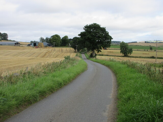
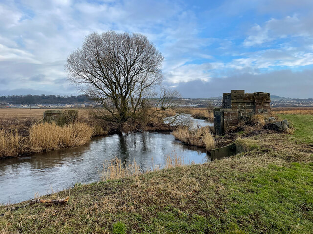
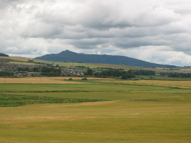
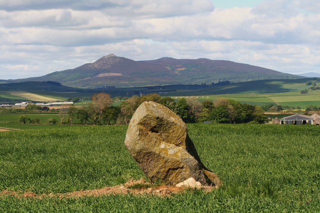
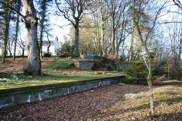
Balhalgardy Images

Images are sourced within 2km of 57.306933/-2.403468 or Grid Reference NJ7524. Thanks to Geograph Open Source API. All images are credited.

Young trees at Lethenty Rows of young fir trees near the Hillhead of Lethenty.
Young trees at Lethenty
Rows of young fir trees near the Hillhead of Lethenty.
B9001 north of Inverurie The B9001 heading north from Inverurie, near Lethenty.
B9001 north of Inverurie
The B9001 heading north from Inverurie, near Lethenty.
Roundabout north of Inverurie B9001 roundabout north of Inverurie at the Portstown Link Road, and minor road to Harlaw.
Roundabout north of Inverurie
B9001 roundabout north of Inverurie at the Portstown Link Road, and minor road to Harlaw.
Battle of Harlaw Monument Monument at the Battle of Harlaw, viewed from the east.
Battle of Harlaw Monument
Monument at the Battle of Harlaw, viewed from the east.
Harlaw House Tower of Harlaw House viewed from the south.
Harlaw House
Tower of Harlaw House viewed from the south.
Road near Inveramsay Minor road heading north towards the Mains of Inveramsay in the distance to the left.
Road near Inveramsay
Minor road heading north towards the Mains of Inveramsay in the distance to the left.
Inverurie to Inverness line Looking toward Inverurie railway station from the side of the bridge over the line.
Inverurie to Inverness line
Looking toward Inverurie railway station from the side of the bridge over the line.
Old Bridge footings The remains of a bridge or some other structure  that used to cross the River Urie
Old Bridge footings
The remains of a bridge or some other structure that used to cross the River Urie
Hairpin bends into the river A strange path of several hairpins leading straight into a river.
Hairpin bends into the river
A strange path of several hairpins leading straight into a river.
New Path to an Old Bridge here we find a nice new tarmac Bridge that ends just before the path floods under the bridge.
New Path to an Old Bridge
here we find a nice new tarmac Bridge that ends just before the path floods under the bridge.
A96 underpass Geocaching is a type of global treasure hunt of people looking for caches, or hidden stashes of objects. Geocaching may also be described as a series of hide-and-seek games, where hiders provide online clues for seekers. Seekers use global positioning system (GPS) devices to find hidden caches
A96 underpass
Geocaching is a type of global treasure hunt of people looking for caches, or hidden stashes of objects. Geocaching may also be described as a series of hide-and-seek games, where hiders provide online clues for seekers. Seekers use global positioning system (GPS) devices to find hidden caches
Railway bridge Geocaching is a type of global treasure hunt of people looking for caches, or hidden stashes of objects. Geocaching may also be described as a series of hide-and-seek games, where hiders provide online clues for seekers. Seekers use global positioning system (GPS) devices to find hidden caches
Railway bridge
Geocaching is a type of global treasure hunt of people looking for caches, or hidden stashes of objects. Geocaching may also be described as a series of hide-and-seek games, where hiders provide online clues for seekers. Seekers use global positioning system (GPS) devices to find hidden caches
Road and rail Railway under the A96
Road and rail
Railway under the A96
Harlaw House Geocaching is a type of global treasure hunt of people looking for caches, or hidden stashes of objects. Geocaching may also be described as a series of hide-and-seek games, where hiders provide online clues for seekers. Seekers use global positioning system (GPS) devices to find hidden caches
Harlaw House
Geocaching is a type of global treasure hunt of people looking for caches, or hidden stashes of objects. Geocaching may also be described as a series of hide-and-seek games, where hiders provide online clues for seekers. Seekers use global positioning system (GPS) devices to find hidden caches
Harlaw Monument The Battle of Harlaw (Scottish Gaelic: Cath Gairbheach) was a Scottish clan battle fought on 24 July 1411 just north of Inverurie in Aberdeenshire. It was one of a series of battles fought during the Middle Ages between the barons of northeast Scotland and those from the west coast.
Harlaw Monument
The Battle of Harlaw (Scottish Gaelic: Cath Gairbheach) was a Scottish clan battle fought on 24 July 1411 just north of Inverurie in Aberdeenshire. It was one of a series of battles fought during the Middle Ages between the barons of northeast Scotland and those from the west coast.
Looking north west across the River Urie flood plain Taken from the B9170 looking north west across the grid square close to the town of Inverurie.
Looking north west across the River Urie flood plain
Taken from the B9170 looking north west across the grid square close to the town of Inverurie.
Harlaw  Monument Commemorating the 1411 Battle of Harlaw. A Highland army led by Donald, Lord of the Isles, was defeated here by a Lowland army. Most of the victorious  Lowlanders came from Aberdeen and the North-east.
Harlaw Monument
Commemorating the 1411 Battle of Harlaw. A Highland army led by Donald, Lord of the Isles, was defeated here by a Lowland army. Most of the victorious Lowlanders came from Aberdeen and the North-east.
The River Urie at Howford Bridge.
Show me another place!

Balhalgardy is located at Grid Ref: NJ7524 (Lat: 57.306933, Lng: -2.403468)

Unitary Authority: Aberdeenshire

Police Authority: North East

What 3 Words

///bits.heartburn.paint. Near Inverurie, Aberdeenshire

Nearby Locations

Balhalgardy

Related Wikis

Battle of Harlaw

The Battle of Harlaw (Scottish Gaelic: Cath Gairbheach) was a Scottish clan battle fought on 24 July 1411 just north of Inverurie in Aberdeenshire. It...

Lethenty railway station

Lethenty railway station was a railway station in Lethenty, Aberdeenshire on the short rural branch line from Inverurie to Old Meldrum serving the rural...
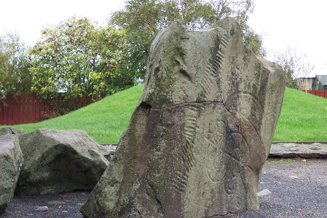
Brandsbutt Stone

The Brandsbutt Stone is a class I Pictish symbol stone in Inverurie, Aberdeenshire, Scotland. == Description == A large block of whinstone, 1.07 metres...

Inveramsay Bridge

The Inveramsay Bridge is a new bridge carrying the A96 over the Aberdeen to Inverness Line. The bridge was constructed by Balfour Beatty. It was inaugurated...

Nearby Amenities

Located within 500m of 57.306933,-2.403468
Power: pole
Lat/Long: 57.3044699/-2.396925
Power: pole
Lat/Long: 57.3049353/-2.3977228
Power: pole
Lat/Long: 57.3053757/-2.3985272
Power: pole
Lat/Long: 57.3058542/-2.3993712
Power: pole
Lat/Long: 57.3063207/-2.4002042
Power: pole
Lat/Long: 57.3067861/-2.4010174
Power: pole
Lat/Long: 57.3072111/-2.4017757
Power: pole
Lat/Long: 57.3076314/-2.4025076
Power: pole
Lat/Long: 57.3080397/-2.4032373
Power: pole
Lat/Long: 57.3085276/-2.4040527
Power: pole
Lat/Long: 57.3090155/-2.4048813
Power: pole
Lat/Long: 57.3095307/-2.4057472
Power: pole
Lat/Long: 57.3100411/-2.4066242
Power: pole
Lat/Long: 57.3105587/-2.4075055
Power: pole
Lat/Long: 57.3030955/-2.4002832
Power: pole
Lat/Long: 57.3039053/-2.3999829
Power: pole
Lat/Long: 57.3042818/-2.3991582
Balhalgardy
Place: hamlet
Lat/Long: 57.3047161/-2.4000499
The data included in this document is from www.openstreetmap.org. The data is made available under ODbL.

Have you been to Balhalgardy?

Leave your review of Balhalgardy below (or comments, questions and feedback).