The Meadow

Downs, Moorland in Huntingdonshire Huntingdonshire

England

The Meadow
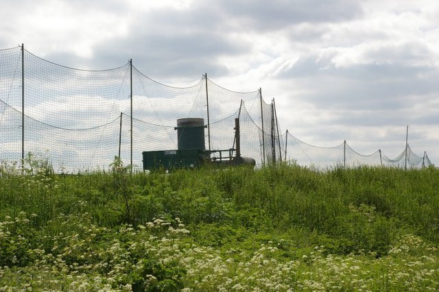
Landfill site On the site of the former gravel workings.
Landfill site Credit: Fractal Angel

The requested URL returned error: 429 Too Many Requests

If you have any feedback on the listing, please let us know in the comments section below.

The Meadow Images

Images are sourced within 2km of 52.401342/0.004177621 or Grid Reference TL3680. Thanks to Geograph Open Source API. All images are credited.

Landfill site On the site of the former gravel workings.
Landfill site
On the site of the former gravel workings.
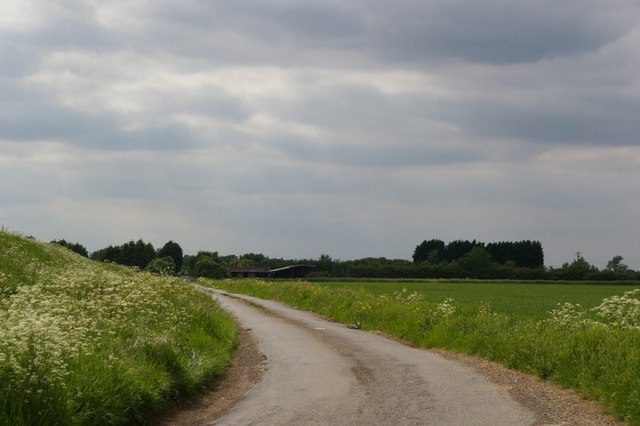
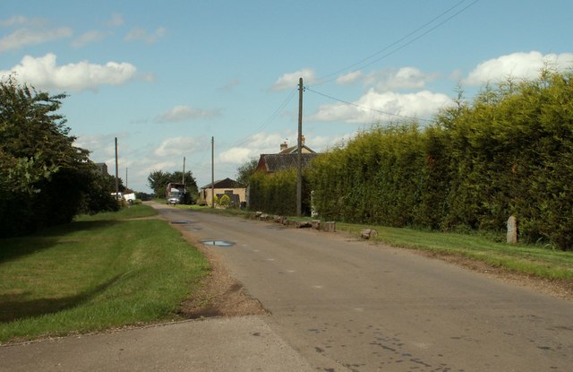
View round bend to farm
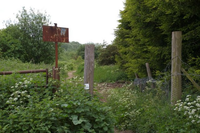
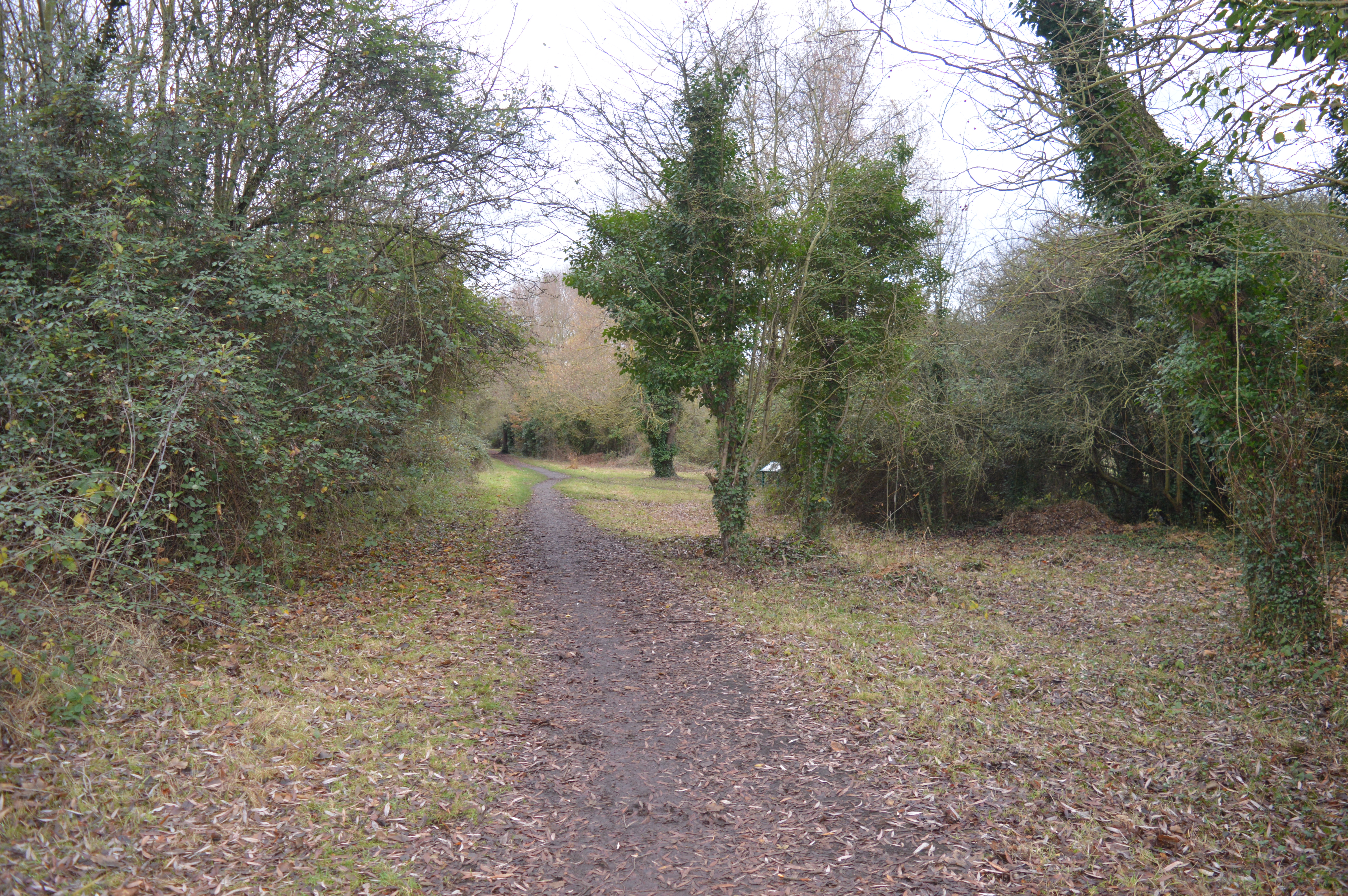
Disused railway, now public path
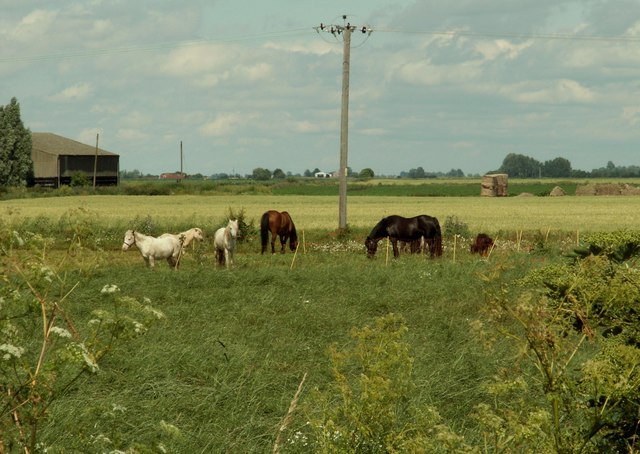
Horses at Holwoods House Farm
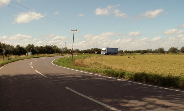
The B.1050 to Chatteris
Park Hall Road The buildings on the right side of the road belong to Park Hall.
Park Hall Road
The buildings on the right side of the road belong to Park Hall.
Long Drove, Pidley Fen This track leads to farmland at Pidley Fen and to Fen House.
Long Drove, Pidley Fen
This track leads to farmland at Pidley Fen and to Fen House.
Warner's Drove Looking north-west along Warner's Drove
Warner's Drove
Looking north-west along Warner's Drove
Small drain parallel to Warner's Drove Looking north-west this drain is parallel to Warner's Drove
Small drain parallel to Warner's Drove
Looking north-west this drain is parallel to Warner's Drove
Warner's Drove Looking south-east
Warner's Drove
Looking south-east
Harrow near Warner's Drove Overlooking ploughed field, thin clump of trees and in the background Dovecote Farm.
Harrow near Warner's Drove
Overlooking ploughed field, thin clump of trees and in the background Dovecote Farm.
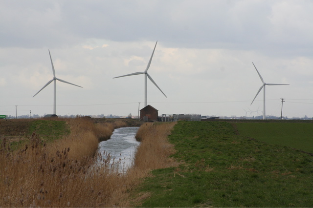
Drain and windmills Taken west of Dovecote farm facing north west towards a distant wind farm
Drain and windmills
Taken west of Dovecote farm facing north west towards a distant wind farm
Track to Dovecote Farm
Dovecote Farm
Dovecote Farm
Rumbolds Farm Farm buildings adjacent to Dovecote Farm
Rumbolds Farm
Farm buildings adjacent to Dovecote Farm
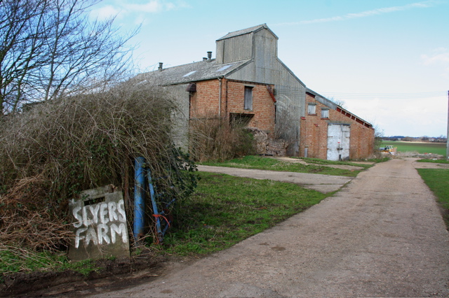
Slyers Farm
Slyers Farm
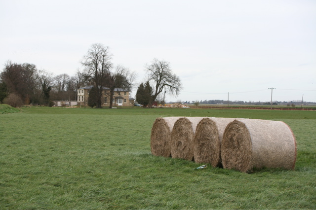
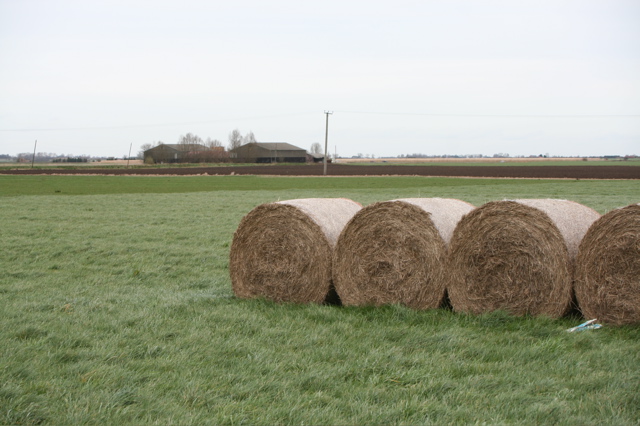
Holwoods House and Straw Bales Chatteris Fen
Holwoods House and Straw Bales
Chatteris Fen
Holwoods House Farm and Straw Bales Chatteris Fen
Holwoods House Farm and Straw Bales
Chatteris Fen
Show me another place!

The Meadow is located at Grid Ref: TL3680 (Lat: 52.401342, Lng: 0.004177621)

Administrative County: Cambridgeshire

District: Huntingdonshire

Police Authority: Cambridgeshire

What 3 Words

///glaze.dividers.lilac. Near Somersham, Cambridgeshire

Nearby Locations

The Meadow

Related Wikis

Somersham Local Nature Reserve

Somersham Local Nature Reserve is an 8.9 hectare Local Nature Reserve in Somersham in Cambridgeshire. It is owned and managed by Cambridgeshire County...

Somersham

Somersham is a village and civil parish in Cambridgeshire, England. Somersham lies approximately 9 miles (14 km) east of Huntingdon and 4 miles (6 km)...

Somersham railway station

Somersham railway station was a station in Somersham, Cambridgeshire on the Great Eastern Railway between March and St Ives. There was also a branch line...

Somersham Town F.C.

Somersham Town Football Club is a football club based in Somersham, near St Ives in Cambridgeshire, England. They club are members of the Cambridgeshire...

Nearby Amenities

Located within 500m of 52.401342,0.004177621
Edwards' & Warner's Farm
Addr City: Somersham
Addr Postcode: PE28 3WD
Addr Street: Warner's Drove
Landuse: farm
Note: Name given above farm names is N C Dixon, presumably proprietor?
Note Retag: CS #48756035
Lat/Long: 52.4025004/-5.78E-5
Blue Roan Farm
Landuse: farm
Note: Sign names MJ & PM Owen, presumably proprietors.
Note Retag: CS #48756035
Source: survey
Lat/Long: 52.4001186/0.00543
Birds Nest Farm
Landuse: farm
Note Retag: CS #48756035
Source: survey
Lat/Long: 52.4019674/0.0093998
Power: pole
Lat/Long: 52.4030488/0.0033554
Power: pole
Lat/Long: 52.4016955/0.0022906
Power: pole
Lat/Long: 52.4023059/0.0027841
Power: pole
Lat/Long: 52.4009492/0.0017193
Power: pole
Lat/Long: 52.3985957/-0.0001181
Power: pole
Lat/Long: 52.4008232/0.004026
Power: pole
Lat/Long: 52.4012586/0.0031542
Power: pole
Lat/Long: 52.3998724/0.0059464
Power: pole
Lat/Long: 52.4000851/0.0010541
Power: pole
Lat/Long: 52.3991622/0.0003271
Power: pole
Lat/Long: 52.3979805/-0.000617
Power: pole
Lat/Long: 52.4003634/0.004954
Power: pole
Lat/Long: 52.4052694/0.0050827
Power: pole
Lat/Long: 52.40452/0.0045141
Power: pole
Lat/Long: 52.403795/0.0039321
Building: yes
Lat/Long: 52.4025829/0.0105055
Building: yes
Lat/Long: 52.4022098/-0.0008134
Building: yes
Lat/Long: 52.3998925/0.0048675
Building: yes
Lat/Long: 52.4004227/0.0056292
Building: yes
Lat/Long: 52.4037611/0.0074746
Building: yes
Lat/Long: 52.40274/0.0098457
Building: yes
Lat/Long: 52.4031655/0.0089123
Building: yes
Lat/Long: 52.4031982/0.0103821
Building: yes
Lat/Long: 52.4028971/0.0005652
Building: yes
Lat/Long: 52.4031/0.0008764
The data included in this document is from www.openstreetmap.org. The data is made available under ODbL.

Have you been to The Meadow?

Leave your review of The Meadow below (or comments, questions and feedback).