Fleet Fen

Downs, Moorland in Lincolnshire South Holland

England

Fleet Fen

Holbeach railway station (site), Lincolnshire Opened in 1858 by the Norwich & Spalding Railway on what became part of the Midland & Great Northern Joint Railway line from Leicester to Yarmouth, this station closed to passengers in 1959 and completely in 1965.
View west towards Whaplode and Spalding. The main station building and a short length of platform remains. For many years the two parallel platforms had remained largely intact (see <a href="https://www.geograph.org.uk/photo/735030">TF3524 : Holbeach Station</a>) but a surrounding housing development just prior to this image being taken had seen most other remains removed.
Holbeach railway station (site), Lincolnshire Credit: Nigel Thompson

Fleet Fen is a remarkable landscape located in Lincolnshire, England. Situated in the southern part of the county, it encompasses a diverse range of natural features including downs and moorland. This unique combination of landforms makes Fleet Fen an important ecological hotspot.

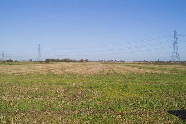
The downs in Fleet Fen are characterized by gently rolling hills and expansive grasslands. These areas are home to a variety of plant species, including wildflowers and shrubs, creating a colorful and vibrant landscape. The downs also provide habitat for a range of wildlife, such as rabbits, hares, and various bird species.

The moorland in Fleet Fen is a stark contrast to the downs, with its rugged terrain and unique vegetation. Here, visitors can find heather-covered hillsides, interspersed with areas of wetland and heathland. This diverse habitat supports a wide array of flora and fauna, including rare species like the marsh harrier and the Lincolnshire red kite.

Fleet Fen is not only a haven for wildlife but also offers breathtaking views and ample opportunities for outdoor activities. Hiking and walking trails crisscross the landscape, allowing visitors to explore its beauty at their own pace. Additionally, the fen is a popular spot for birdwatching, with several observation points strategically placed to maximize the chance of spotting rare and migratory birds.

Overall, Fleet Fen in Lincolnshire offers a captivating blend of downs and moorland, showcasing the natural beauty and biodiversity of the region. It is a must-visit destination for nature enthusiasts and those seeking a tranquil retreat in the heart of England.

If you have any feedback on the listing, please let us know in the comments section below.
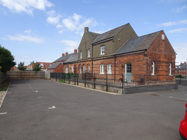
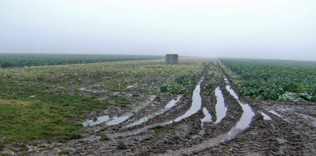
Fleet Fen Images

Images are sourced within 2km of 52.784294/0.02076767 or Grid Reference TF3622. Thanks to Geograph Open Source API. All images are credited.

Holbeach railway station (site), Lincolnshire Opened in 1858 by the Norwich & Spalding Railway on what became part of the Midland & Great Northern Joint Railway line from Leicester to Yarmouth, this station closed to passengers in 1959 and completely in 1965.
View west towards Whaplode and Spalding. The main station building and a short length of platform remains. For many years the two parallel platforms had remained largely intact (see <a href="https://www.geograph.org.uk/photo/735030">TF3524 : Holbeach Station</a>) but a surrounding housing development just prior to this image being taken had seen most other remains removed.
Holbeach railway station (site), Lincolnshire
Opened in 1858 by the Norwich & Spalding Railway on what became part of the Midland & Great Northern Joint Railway line from Leicester to Yarmouth, this station closed to passengers in 1959 and completely in 1965. View west towards Whaplode and Spalding. The main station building and a short length of platform remains. For many years the two parallel platforms had remained largely intact (see TF3524 : Holbeach Station) but a surrounding housing development just prior to this image being taken had seen most other remains removed.
Further Old Gate Looking north approximately along the Greenwich Meridian
Further Old Gate
Looking north approximately along the Greenwich Meridian
Drainage ditch Looking NNE towards Fleet Church
Drainage ditch
Looking NNE towards Fleet Church
Drainage ditch off Moor Gate Looking west
Drainage ditch off Moor Gate
Looking west
Power line heading NW From Moor Gate
Power line heading NW
From Moor Gate
Power line crossing Strong's Bank
Drainage ditch off Frog's Abbey Gate Looking west
Drainage ditch off Frog's Abbey Gate
Looking west
Towards Red House Farm from Hurdletree Bank
Footpath from Dam Gate to Fleet Lodge, Holbeach
Line of former railway, Holbeach, looking east from Dam Gate
Farm track off Fen Road, looking across Holbeach Fen
Half-harvested Brussels Sprout field They gave their lives for Christmas...
View east of Ball's Lane near Holbeach.
Half-harvested Brussels Sprout field
They gave their lives for Christmas... View east of Ball's Lane near Holbeach.
Fly-tip on Ball's Lane These people clearly couldn't find their way to the local recycling and disposal facility to get rid of the tiles and cardboard.
In the field is a newly established piece of mixed woodland.
Fly-tip on Ball's Lane
These people clearly couldn't find their way to the local recycling and disposal facility to get rid of the tiles and cardboard. In the field is a newly established piece of mixed woodland.
Holbeach Station Former Railway station at Holbeach
Holbeach Station
Former Railway station at Holbeach
Holbeach fire station Holbeach fire station, Station Road, Holbeach, Lincolnshire
Holbeach fire station
Holbeach fire station, Station Road, Holbeach, Lincolnshire
Farmland off Ben's Gate Road
Entering Holbeach on Hazelwood Lane
Field to the south-west of Hazelwood Lane A typical, featureless view from National Cycle Route 1 as it passes through The Fens
Field to the south-west of Hazelwood Lane
A typical, featureless view from National Cycle Route 1 as it passes through The Fens
Show me another place!

Fleet Fen is located at Grid Ref: TF3622 (Lat: 52.784294, Lng: 0.02076767)

Administrative County: Lincolnshire

District: South Holland

Police Authority: Lincolnshire

What 3 Words

///animate.unto.informer. Near Holbeach, Lincolnshire

Nearby Locations

Fleet Fen

Related Wikis

Holbeach Fen

Holbeach Fen is a fenland settlement and area in the South Holland district of southern Lincolnshire, England. It is 3 miles (5 km) south from Holbeach...
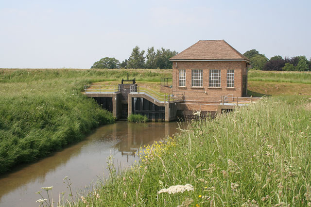
South Holland IDB

South Holland IDB is an English internal drainage board set up under the terms of the Land Drainage Act 1930. It has responsibility for the land drainage...

Holbeach railway station

Holbeach railway station was a station in Holbeach, Lincolnshire. It opened on 15 November 1858 and closed on 2 March 1959. The station buildings survived...

East Elloe Rural District

East Elloe was a rural district in Holland in Lincolnshire from 1894 to 1974. == History == The district had its origins in the Holbeach Poor Law Union...

Holbeach

Holbeach is a market town and civil parish in the South Holland District in Lincolnshire, England. The town lies 8 miles (13 km) from Spalding; 17 miles...

Holbeach United F.C.

Holbeach United Football Club is a football club based in Holbeach, Lincolnshire, England. They are currently members of the Eastern Counties League Division...

Fleet, Lincolnshire

Fleet is a village, civil parish and electoral ward in the South Holland district of Lincolnshire, England. It lies on Delph Bank, 3 miles (4.8 km) south...

University Academy Holbeach

University Academy Holbeach is a co-educational secondary school and sixth form located in Holbeach, Lincolnshire, England. == History == === Secondary... ===

Nearby Amenities

Located within 500m of 52.784294,0.02076767
Post Box
Collection Times: Mo-Sa 09:30
Fixme: Is this really a GVIR, given that it's a lamp box ?
Note: RM names Red Lion but no PH anywhere near !
Post Box Type: lamp
Ref: PE12 47
Royal Cypher: GVIR
Royal Cypher Wikidata: Q33102169
Lat/Long: 52.7824161/0.0196548
Power: tower
Lat/Long: 52.7809875/0.0169737
Millbank Farm
Place: farm
Source: Bing
Lat/Long: 52.783357/0.0252089
Hurdletree House
Alt Name: Hurdletree Bank Farm
Place: isolated_dwelling
Source: Bing
Lat/Long: 52.7815384/0.0196615
The data included in this document is from www.openstreetmap.org. The data is made available under ODbL.

Have you been to Fleet Fen?

Leave your review of Fleet Fen below (or comments, questions and feedback).