Bishop Lands
Downs, Moorland in Cambridgeshire Fenland
England
Bishop Lands
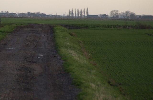
Bishop Lands, located in Cambridgeshire, England, is a vast and picturesque area known for its diverse landscapes encompassing downs and moorland. Spanning approximately several square miles, this region offers a rich tapestry of natural beauty and unique features.
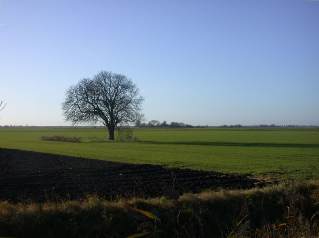
The downs of Bishop Lands are characterized by rolling hills and open grasslands, creating a striking contrast against the surrounding countryside. These slopes provide breathtaking panoramic views, making it a popular destination for hikers and nature enthusiasts. The downs are also home to a variety of flora and fauna, including wildflowers, rabbits, and various bird species.
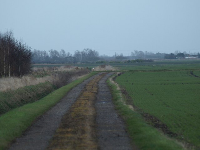
In addition to the downs, Bishop Lands boasts expansive moorland areas. Moorlands are characterized by wet and acidic soils, often covered with heather and grasses. This type of terrain supports a diverse range of wildlife, including rare bird species like curlews and lapwings. The moorland also features small ponds and streams, providing habitats for amphibians and other aquatic creatures.
Bishop Lands is not only cherished for its natural landscapes but also for its historical significance. The area is dotted with archaeological sites, including ancient burial mounds and remnants of prehistoric settlements. These archaeological treasures give insight into the region's rich and varied past, attracting historians and archaeologists from around the world.
Overall, Bishop Lands in Cambridgeshire offers a unique blend of downs and moorland, providing visitors with an opportunity to explore and appreciate the beauty of nature while immersing themselves in the region's rich history.
If you have any feedback on the listing, please let us know in the comments section below.
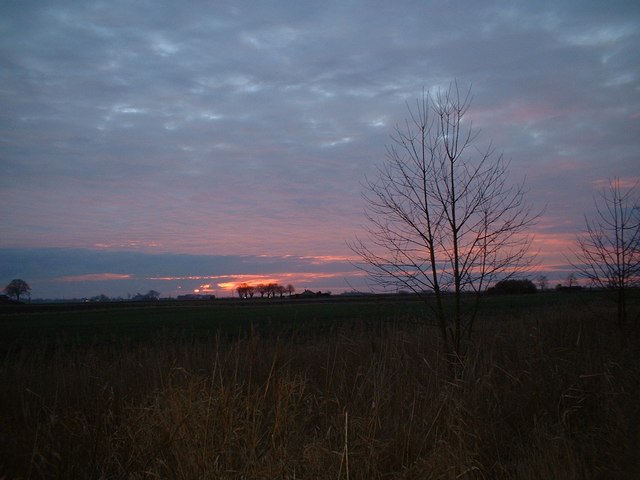
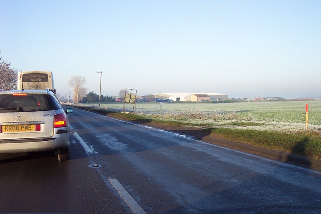
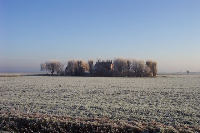
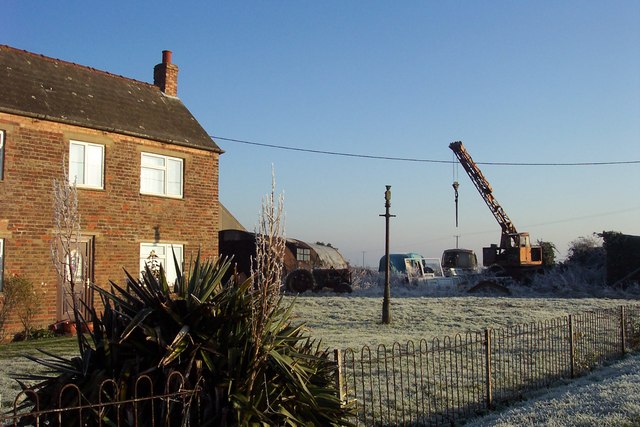
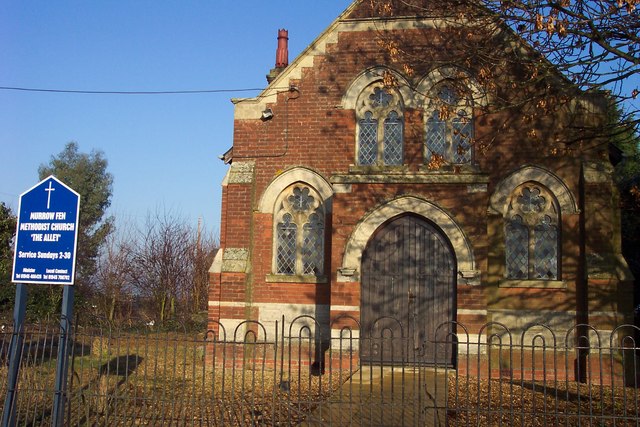
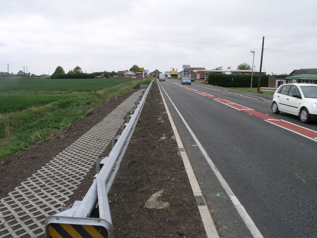
Bishop Lands Images
Images are sourced within 2km of 52.624467/-0.012134366 or Grid Reference TF3404. Thanks to Geograph Open Source API. All images are credited.


Bishop Lands is located at Grid Ref: TF3404 (Lat: 52.624467, Lng: -0.012134366)
Division: Isle of Ely
Administrative County: Cambridgeshire
District: Fenland
Police Authority: Cambridgeshire
What 3 Words
///yachting.skin.cove. Near Thorney, Cambridgeshire
Nearby Locations
Related Wikis

Thorney Toll
Thorney Toll is a hamlet in Fenland District, in the Isle of Ely, Cambridgeshire, England. The hamlet sits either side of the A47 between Guyhirn and Peterborough...

Murrow West railway station
Murrow West railway station was a station on the Great Northern and Great Eastern Joint Railway in Murrow, Cambridgeshire between Spalding, England, and...

Wryde railway station
Wryde railway station was a station serving Wryde, Cambridgeshire on the Midland and Great Northern Joint Railway between Wisbech and Peterborough. Originally...

Murrow, Cambridgeshire
Murrow is a village in the civil parish of Wisbech St Mary, in Cambridgeshire, England.The village is on Murrow Bank, the B1187 road, 5 miles (8 km) west...

Murrow East railway station
Murrow East railway station was a station in Murrow, Cambridgeshire. It was on the Midland and Great Northern Joint Railway line between Wisbech and Peterborough...

Adventurers' Land
Adventurers' Land is a 10.1-hectare (25-acre) geological Site of Special Scientific Interest (SSSI) north of March in Cambridgeshire. It is a Geological...

French Drove and Gedney Hill railway station
French Drove and Gedney Hill was a station on the Great Northern and Great Eastern Joint Railway near Gedney Hill in south Lincolnshire on the line between...

The Museum of Technology
The Museum of Technology the History of Gadgets and Gizmos (formerly The Museum of Technology, The Great War and WWII) is a technology museum in Throckenholt...
Nearby Amenities
Located within 500m of 52.624467,-0.012134366Have you been to Bishop Lands?
Leave your review of Bishop Lands below (or comments, questions and feedback).