Far Fen
Downs, Moorland in Cambridgeshire South Cambridgeshire
England
Far Fen
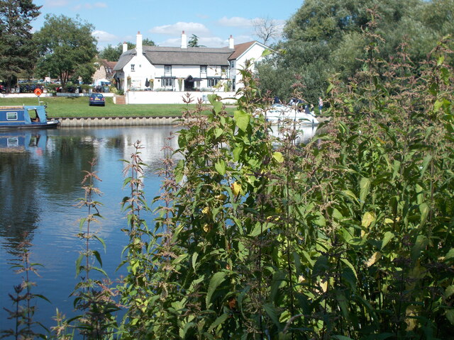
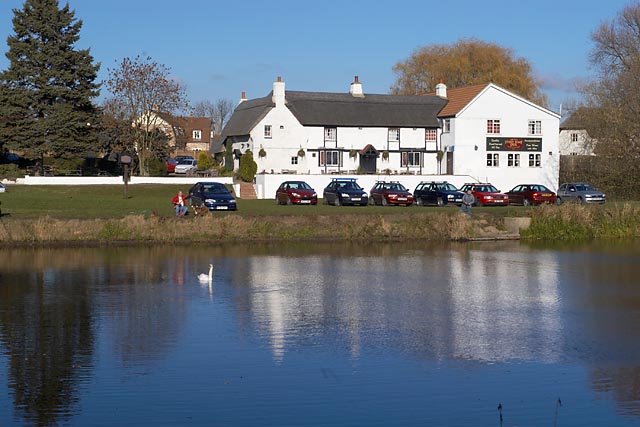
Far Fen is a picturesque area located in Cambridgeshire, England. Situated in the eastern part of the county, it is known for its sprawling downs and moorland landscapes. Covering a vast area of approximately 500 square kilometers, Far Fen offers a unique blend of natural beauty and historical significance.
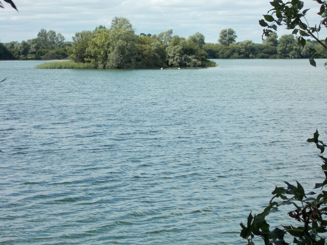
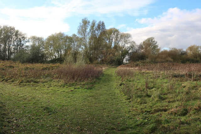
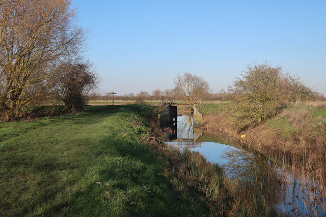
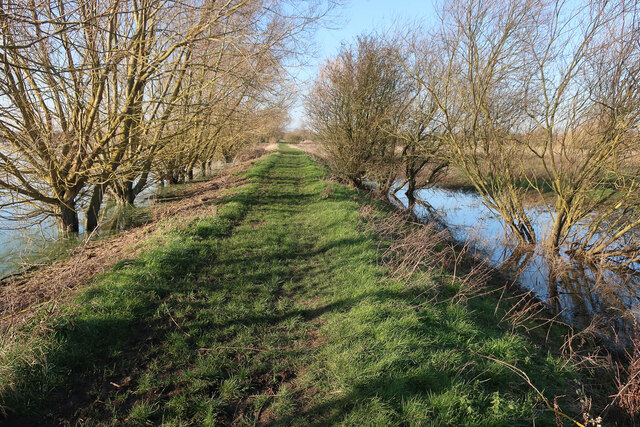
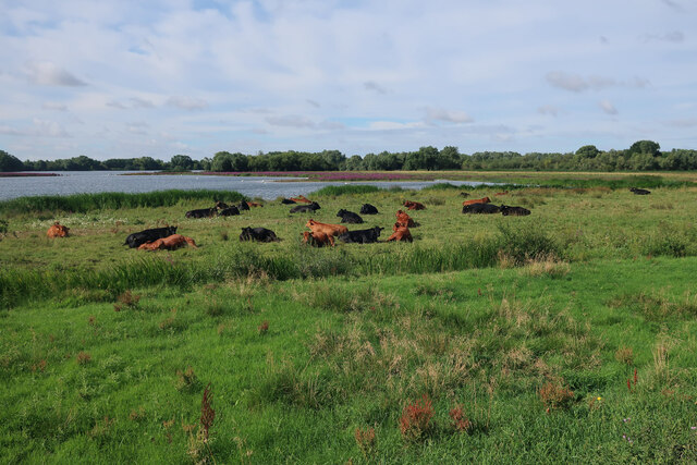
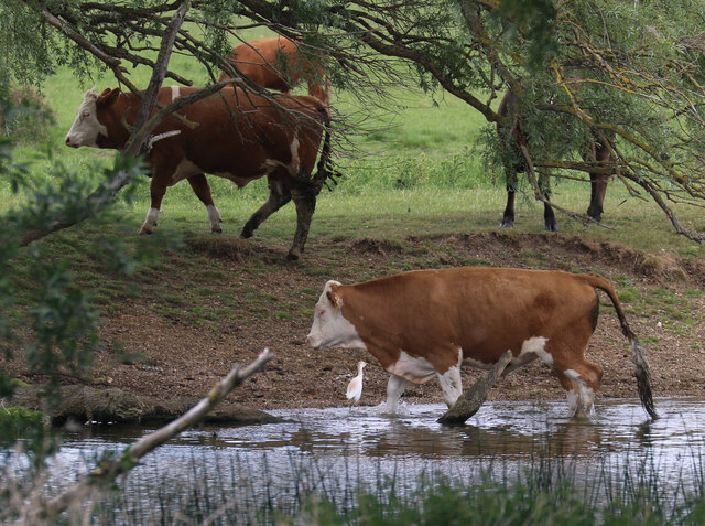
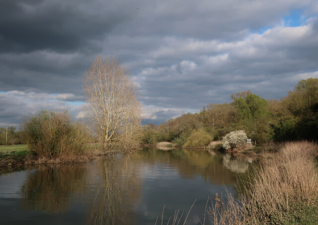
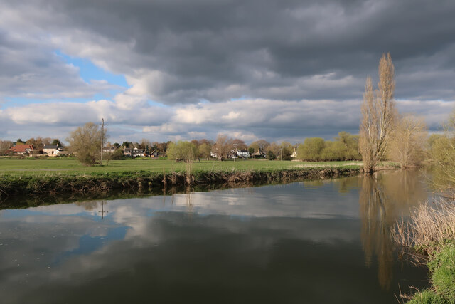
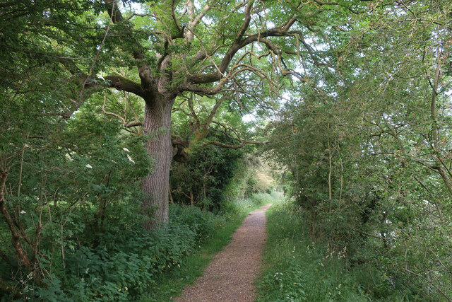
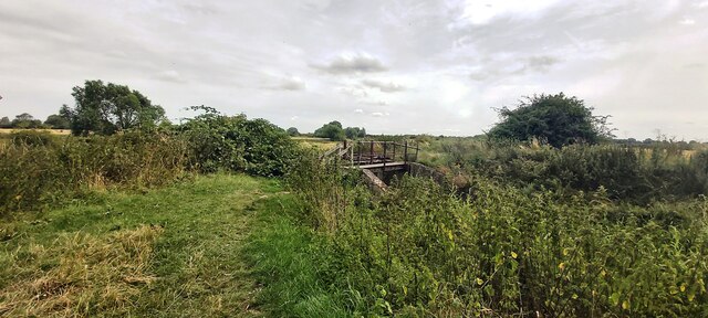
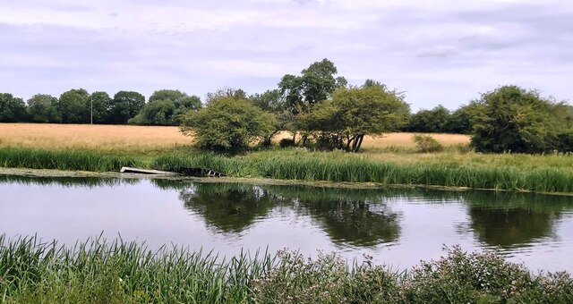
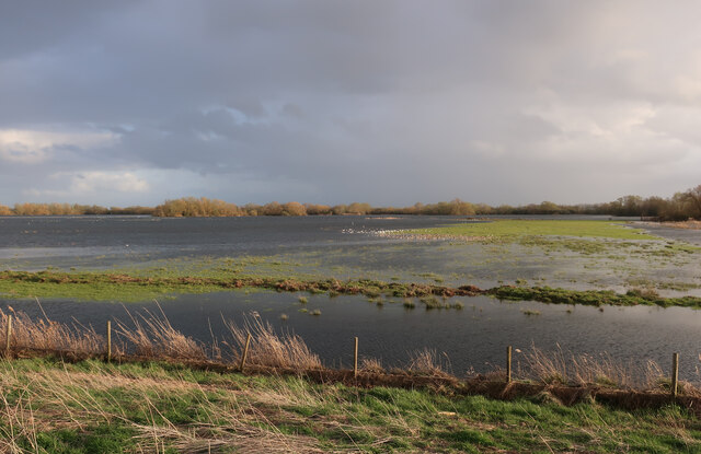
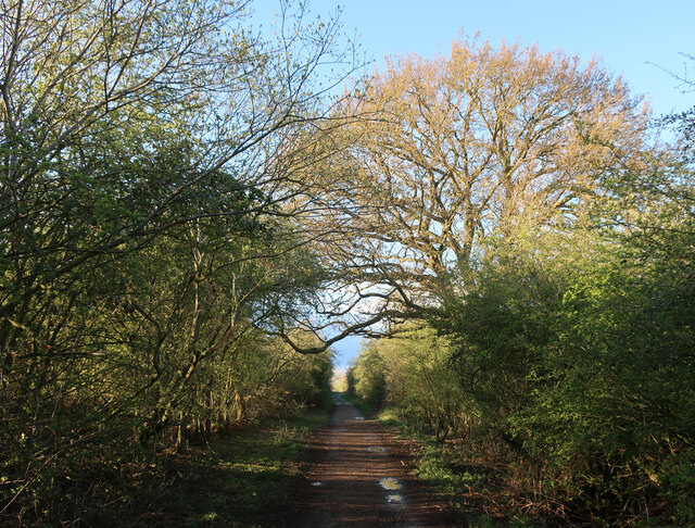
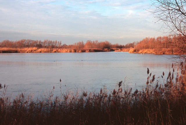
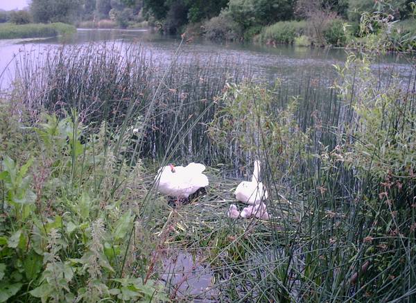
The downs in Far Fen are characterized by their gently rolling hills, covered in lush green grass and scattered with colorful wildflowers during the warmer months. The moorland, on the other hand, consists of vast expanses of marshy terrain, dotted with small ponds and surrounded by reed beds. This diverse range of habitats makes Far Fen a haven for a wide variety of flora and fauna.
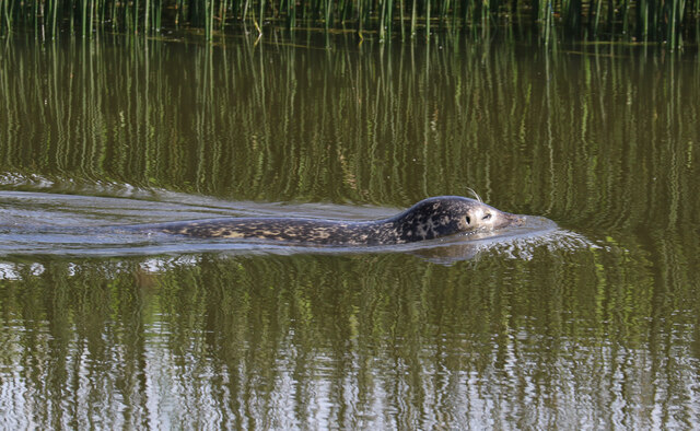
The area is home to several rare and protected species, including the fen orchid and the fen raft spider. Birdwatchers flock to Far Fen to catch a glimpse of the elegant marsh harriers, bitterns, and curlews that inhabit the wetlands. The unique ecosystem of Far Fen has also made it an important site for conservation efforts, with various schemes in place to preserve and restore the natural habitats.
In addition to its natural wonders, Far Fen boasts a rich historical heritage. The nearby village of Far Fen has a charming medieval church, which dates back to the 12th century. The area is also renowned for its archaeological sites, with evidence of human habitation stretching back thousands of years. Excavations have uncovered ancient tools, pottery, and even burial mounds, providing valuable insights into the region's past.
Overall, Far Fen in Cambridgeshire offers visitors a chance to immerse themselves in the beauty of nature and explore the rich history that has shaped the area over centuries.
If you have any feedback on the listing, please let us know in the comments section below.
Far Fen Images
Images are sourced within 2km of 52.299549/-0.027892265 or Grid Reference TL3468. Thanks to Geograph Open Source API. All images are credited.


Far Fen is located at Grid Ref: TL3468 (Lat: 52.299549, Lng: -0.027892265)
Administrative County: Cambridgeshire
District: South Cambridgeshire
Police Authority: Cambridgeshire
What 3 Words
///guidebook.icicles.develop. Near Swavesey, Cambridgeshire
Nearby Locations
Related Wikis

Fen Drayton
Fen Drayton is a small village between Cambridge and St. Ives in Cambridgeshire, England, and between the villages of Fenstanton and Swavesey. The village...
Fen Drayton Lakes
Fen Drayton Lakes is a complex of lakes, lagoons, ponds and a river, situated close to Fen Drayton, Holywell and Swavesey in Cambridgeshire, England. The...

Swavesey Village College
Swavesey Village College is a village college and academy school in the village of Swavesey in south Cambridgeshire, England. In 2011, Swavesey Village...

Swavesey
Swavesey is a village lying on the Prime Meridian in Cambridgeshire, England, with a population of 2,463. The village is situated 9 miles to the north...
The Old Ferry Boat Inn
The Old Ferry Boat Inn is a pub in Holywell, Huntingdonshire, Cambridgeshire, England. It is situated on the banks of the River Great Ouse.The Old Ferry...

Swavesey railway station
Swavesey railway station was a station in Swavesey, Cambridgeshire on the line between Cambridge and St Ives which was closed for passenger services in...
Swavesey Priory
Swavesey Priory was a medieval monastic house in the village of Swavesey, Cambridgeshire, England. A church existed in Swavesey at the time of the Norman...
Ouse Valley Way
The Ouse Valley Way is a 150-mile (240 km) footpath in England, following the River Great Ouse from its source near Syresham in Northamptonshire to its...
Nearby Amenities
Located within 500m of 52.299549,-0.027892265Have you been to Far Fen?
Leave your review of Far Fen below (or comments, questions and feedback).