Bedford Level (Middle Level)
Downs, Moorland in Cambridgeshire Fenland
England
Bedford Level (Middle Level)
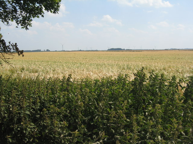
Bedford Level, also known as Middle Level, is a vast area of land located in Cambridgeshire, England. It encompasses a unique landscape comprising of downs and moorland. The area is known for its flat terrain and fertile soils, making it ideal for agricultural activities.
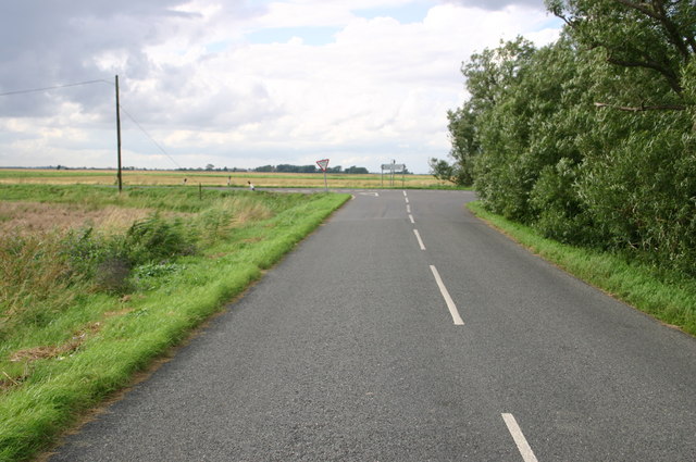
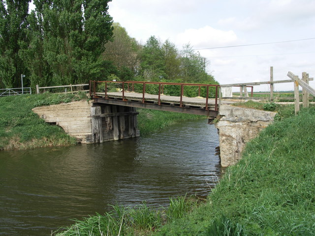
Covering an expansive area, Bedford Level is surrounded by several towns and villages, including March, Chatteris, and Whittlesey. The region is intersected by a network of rivers and waterways, such as the River Nene and River Great Ouse, which provide irrigation channels for the surrounding farmlands.
The downs of Bedford Level are characterized by rolling hills and open grasslands. These areas are often used for grazing livestock, particularly sheep and cattle. The downs also offer picturesque views of the surrounding countryside, attracting visitors and nature enthusiasts.
In contrast, the moorland areas of Bedford Level are characterized by their wet and marshy landscapes. These wetlands provide a unique habitat for various bird species, including rare and migratory birds. The moorlands are also rich in biodiversity, supporting a range of plant and animal life.
The area has a long history, with evidence of human habitation dating back to prehistoric times. Throughout the centuries, Bedford Level has played a significant role in agriculture and has been shaped by drainage systems and land reclamation projects.
Overall, Bedford Level in Cambridgeshire offers a diverse and captivating landscape, combining downs and moorland, and providing a haven for both wildlife and agricultural practices.
If you have any feedback on the listing, please let us know in the comments section below.
Bedford Level (Middle Level) Images
Images are sourced within 2km of 52.502847/-0.021530761 or Grid Reference TL3491. Thanks to Geograph Open Source API. All images are credited.


Bedford Level (Middle Level) is located at Grid Ref: TL3491 (Lat: 52.502847, Lng: -0.021530761)
Division: Isle of Ely
Administrative County: Cambridgeshire
District: Fenland
Police Authority: Cambridgeshire
What 3 Words
///fraction.rehearsed.liability. Near Doddington, Cambridgeshire
Nearby Locations
Related Wikis

Benwick
Benwick is a village and civil parish in the Fenland district of Cambridgeshire, England. It is approximately 15 miles (24 km) from Peterborough and 30...
Flood's Ferry
Flood's Ferry and Knight's End are hamlets between Benwick and March, Cambridgeshire, England. Flood's Ferry is the site of a large marina on the old course...
Swingbrow
Swingbrow (sometimes written Swing Brow) is a hamlet near to Chatteris , Cambridgeshire lying alongside the Forty Foot Drain built by Vermuyden. A Neolithic...

Turves, Cambridgeshire
Turves is a village in the civil parish of Whittlesey, Fenland District, Cambridgeshire, England. It lies east of the town of Whittlesey, south of the...
Ramsey Forty Foot
Ramsey Forty Foot is a village in Ramsey civil parish, part of the Huntingdonshire district of Cambridgeshire, England. It lies on the Forty Foot Drain...

Doddington, Cambridgeshire
Doddington is a village and civil parish lying just off the A141 in the Isle of Ely, Cambridgeshire, approximately half way (4 miles (6 km)) between Chatteris...

Forty Foot Drain
The Forty Foot or Forty Foot Drain is a name given to several of the principal channels in the drainage schemes of the Fens of Eastern England, the name...

Ramsey Mereside
Ramsey Mereside, known colloquially as "The Village", is a small village approximately 3.5 miles (5.6 km) north of the town of Ramsey, Cambridgeshire...
Nearby Amenities
Located within 500m of 52.502847,-0.021530761Have you been to Bedford Level (Middle Level)?
Leave your review of Bedford Level (Middle Level) below (or comments, questions and feedback).