Bluntisham Heath

Downs, Moorland in Huntingdonshire Huntingdonshire

England

Bluntisham Heath

Bluntisham Waste Recycling Centre Clearing up after Christmas, in the rain
Bluntisham Waste Recycling Centre Credit: Chris Morgan

The requested URL returned error: 429 Too Many Requests

If you have any feedback on the listing, please let us know in the comments section below.

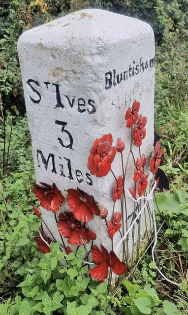
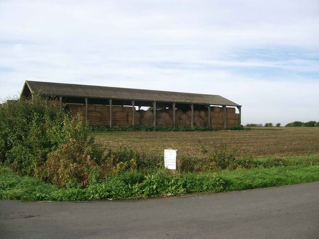
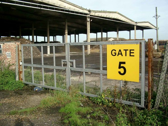
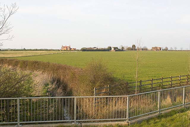
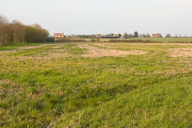
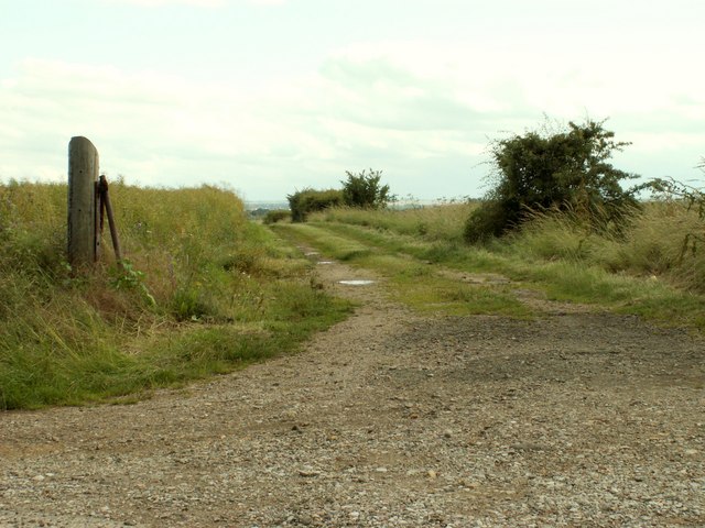
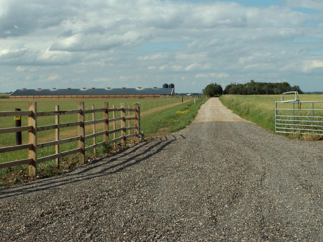
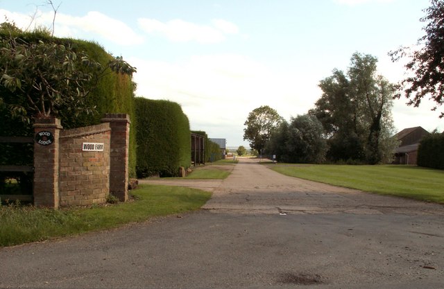
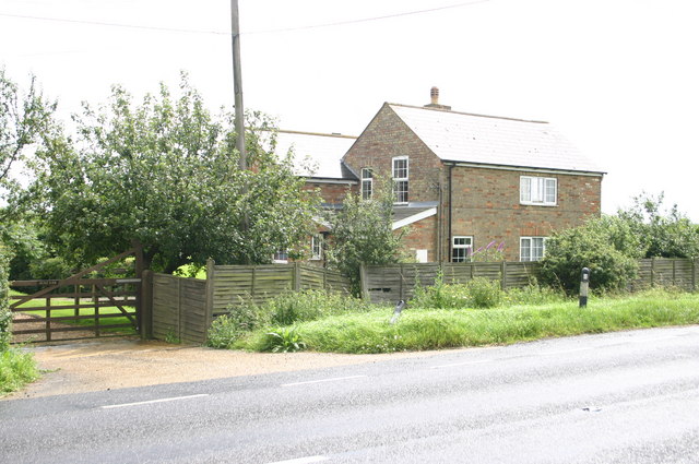
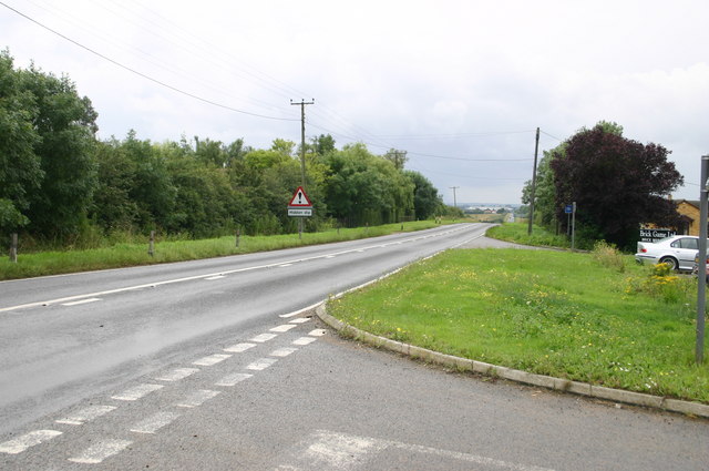
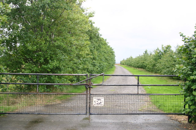
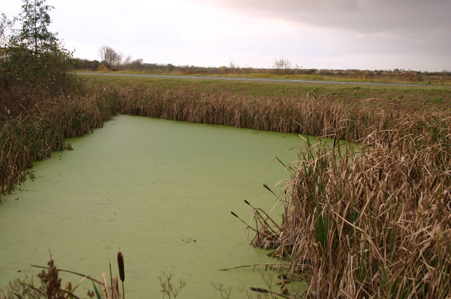
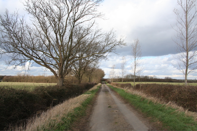
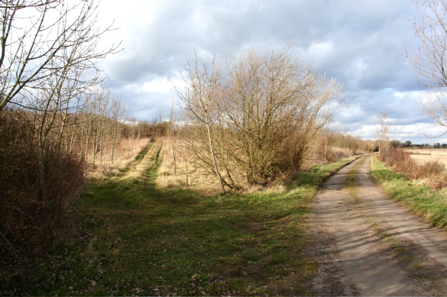
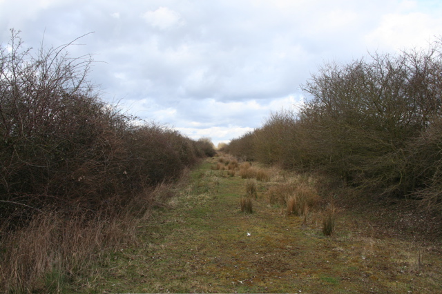
Bluntisham Heath Images

Images are sourced within 2km of 52.352505/-0.034081677 or Grid Reference TL3374. Thanks to Geograph Open Source API. All images are credited.

Bluntisham Waste Recycling Centre Clearing up after Christmas, in the rain
Bluntisham Waste Recycling Centre
Clearing up after Christmas, in the rain
Needingworth Park New housing development. The site was previously animal sheds.
Needingworth Park
New housing development. The site was previously animal sheds.
Needingworth Park New housing development. The site was previously animal sheds.
Needingworth Park
New housing development. The site was previously animal sheds.
Milestone by the A1123, Station Road, Bluntisham Carved stone post (replacement) by the A1123, in parish of Bluntisham (Huntingdonshire District), opposite 'Riga', Station Road, on the verge, on South side of road. The original was a St Ives stone, erected by the Shelton Lane, Bury & Stratton turnpike trust in the 19th century. 

Inscription reads:-
: St Ives / 3 / Miles : : Bluntisham : : Ely / 13 / Miles :
(July 2002 on reverse)
Carved benchmark on front face.

Cambridgeshire HER.
CHER Number: MCB18023 <span class="nowrap"><a title="https://www.heritagegateway.org.uk/Gateway/Results_Single.aspx?uid=MCB18023&resourceID=1000" rel="nofollow ugc noopener" href="https://www.heritagegateway.org.uk/Gateway/Results_Single.aspx?uid=MCB18023&resourceID=1000">Link</a><img style="margin-left:2px;" alt="External link" title="External link - shift click to open in new window" src="https://s1.geograph.org.uk/img/external.png" width="10" height="10"/></span>

Milestone Society National ID: HU_SIEY03
Milestone by the A1123, Station Road, Bluntisham
Carved stone post (replacement) by the A1123, in parish of Bluntisham (Huntingdonshire District), opposite 'Riga', Station Road, on the verge, on South side of road. The original was a St Ives stone, erected by the Shelton Lane, Bury & Stratton turnpike trust in the 19th century. Inscription reads:- : St Ives / 3 / Miles : : Bluntisham : : Ely / 13 / Miles : (July 2002 on reverse) Carved benchmark on front face. Cambridgeshire HER. CHER Number: MCB18023 LinkExternal link Milestone Society National ID: HU_SIEY03
Straw bales in storage, Somersham Road
Mushroom compost plant
Priory Farm viewed from Needingworth bypass
Priory Farm and fields, Needingworth
Farm track, just east of Woodhurst
The approach to Colne Heath Farm
Part of Wood Farm
Part of Wood Farm
Bridge Farm Bridge Farm on Somersham Road
Bridge Farm
Bridge Farm on Somersham Road
Brick Game Ltd near Hill Farm on the Somersham Road
Farm track near to Wood Farm on Bluntisham Heath Road Farm track near to Wood Farm on Bluntisham Heath Road
Farm track near to Wood Farm on Bluntisham Heath Road
Pond by A1123 At the Needingworth junction a pond by the A1123
Pond by A1123
At the Needingworth junction a pond by the A1123
Track from Priory Farm to Cottage Farm This runs roughly parallel to the dismantled railway track.
Track from Priory Farm to Cottage Farm
This runs roughly parallel to the dismantled railway track.
Tracks diverging near Priory Farm The left hand track gives access to the dismantled railway line  while the right is a track to Cottage Farm
Tracks diverging near Priory Farm
The left hand track gives access to the dismantled railway line while the right is a track to Cottage Farm
Dismantled railway track Very rough surface. Rabbits have turned over the gravel bed.
Dismantled railway track
Very rough surface. Rabbits have turned over the gravel bed.
Show me another place!

Bluntisham Heath is located at Grid Ref: TL3374 (Lat: 52.352505, Lng: -0.034081677)

Administrative County: Cambridgeshire

District: Huntingdonshire

Police Authority: Cambridgeshire

What 3 Words

///encoded.reader.underline. Near Needingworth, Cambridgeshire

Nearby Locations

Bluntisham Heath

Related Wikis

St Ives Rural District

St Ives was a rural district in Huntingdonshire from 1894 to 1974, surrounding the urban area of St Ives. It was formed under the Local Government Act...

Bluntisham railway station

Bluntisham railway station was a station in Bluntisham, Cambridgeshire on the Ely and St Ives Railway. The station closed for regular passenger services...
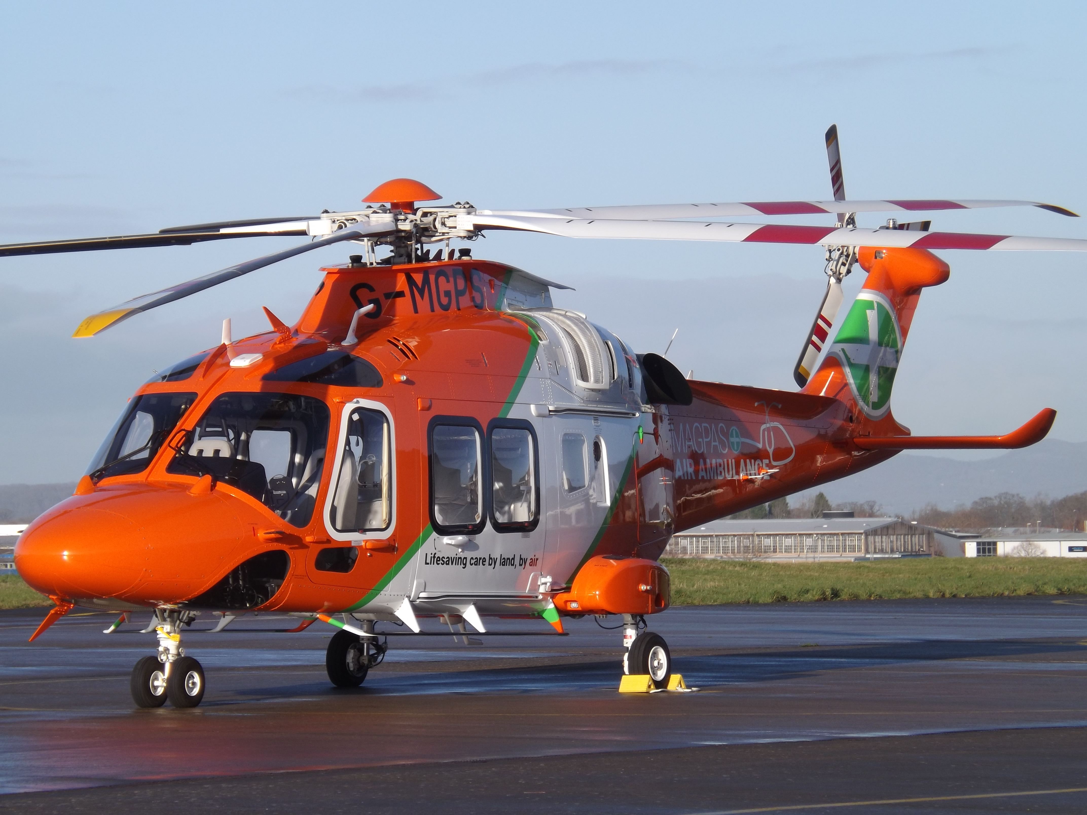
Magpas

Magpas Air Ambulance is a registered charity that operates a helicopter emergency medical service (HEMS) dedicated to the seriously ill and injured in...

Colne, Cambridgeshire

Colne is a village and civil parish in Cambridgeshire, England. Colne lies about 9 miles (14 km) east of Huntingdon; the villages of Bluntisham, Woodhurst...

Nearby Amenities

Located within 500m of 52.352505,-0.034081677
Place: farm
Lat/Long: 52.35496/-0.0290058
The data included in this document is from www.openstreetmap.org. The data is made available under ODbL.

Have you been to Bluntisham Heath?

Leave your review of Bluntisham Heath below (or comments, questions and feedback).