Brookfield Common
Downs, Moorland in Hertfordshire East Hertfordshire
England
Brookfield Common
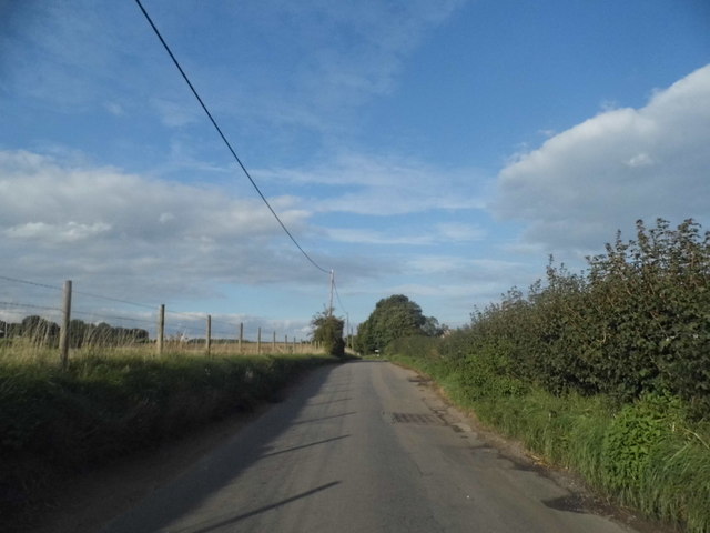
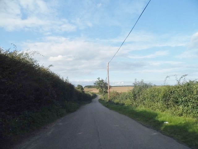
Brookfield Common, located in Hertfordshire, is a picturesque expanse of land that encompasses both downs and moorland. Stretching over a vast area, it offers visitors a diverse and captivating landscape to explore. The common is a designated Area of Outstanding Natural Beauty, attracting nature enthusiasts and hikers alike.
The downs of Brookfield Common are characterized by their rolling hills and open grassland, creating a serene and idyllic atmosphere. Visitors can enjoy panoramic views of the surrounding countryside from the higher points, where they may also spot grazing sheep or wild rabbits. The downs are home to a variety of plant species, including heathers, orchids, and rare wildflowers, adding splashes of color to the green landscape.
In contrast to the downs, the moorland on Brookfield Common offers a more rugged and untamed terrain. With its heather-covered hills, boggy areas, and scattered patches of woodland, the moorland provides a rich habitat for a wide range of wildlife. Birdwatchers can spot species such as skylarks, meadow pipits, and kestrels soaring through the sky, while reptiles like adders and slow worms can be found basking in the sun on warmer days.
Brookfield Common is crisscrossed by a network of walking trails, allowing visitors to explore its natural beauty at their own pace. Whether it's a leisurely stroll through the downs or an adventurous hike across the moorland, this stunning expanse of land offers a truly immersive experience in the heart of Hertfordshire's countryside.
If you have any feedback on the listing, please let us know in the comments section below.
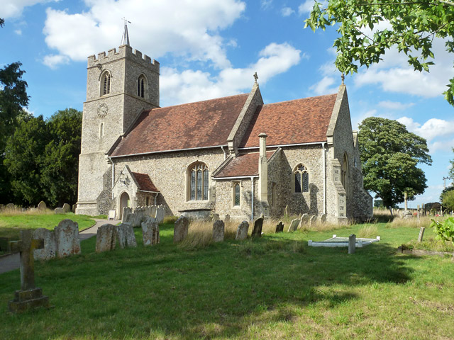
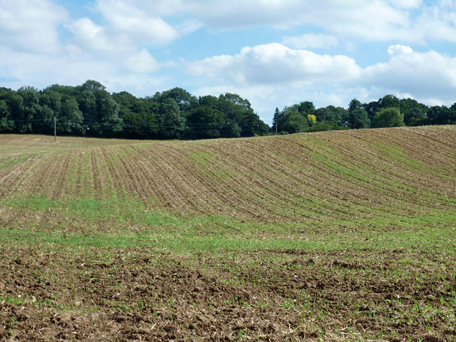
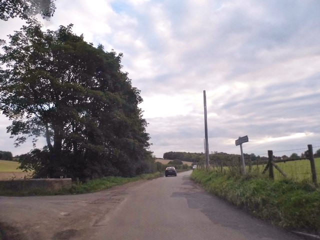
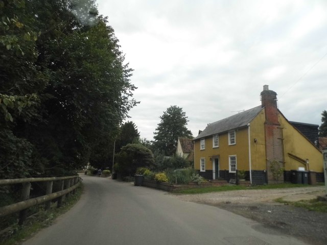
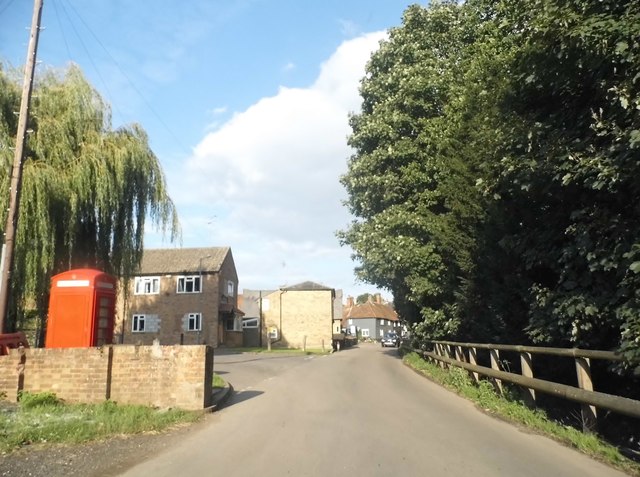
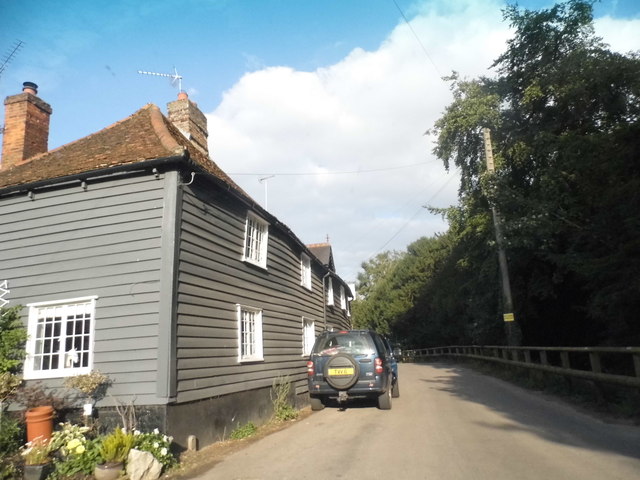
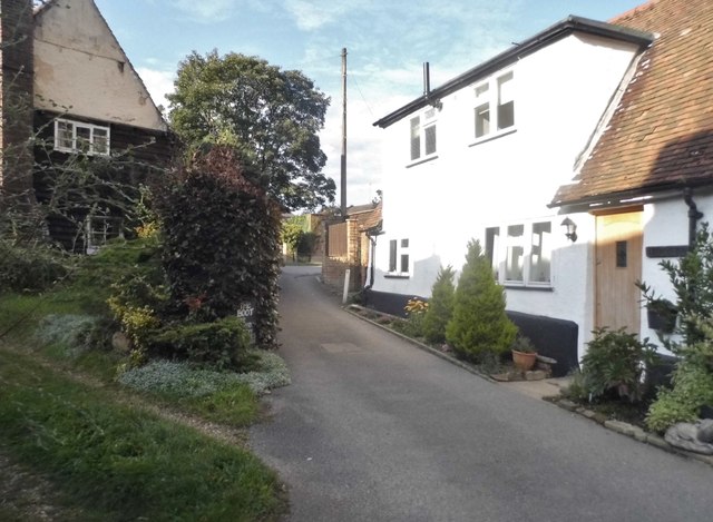
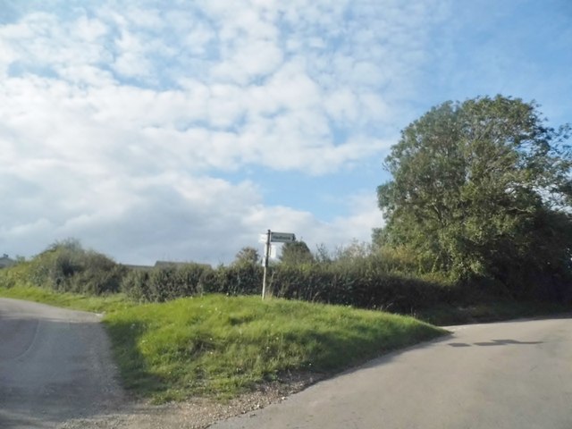
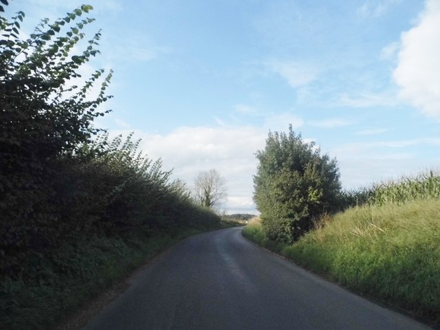
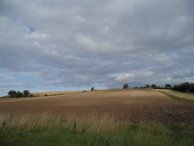
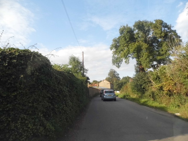
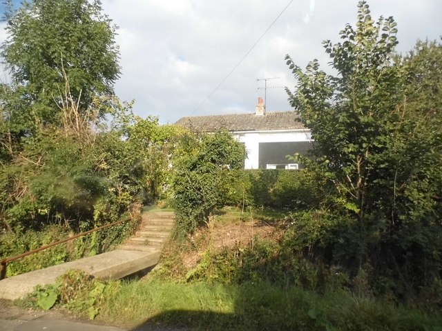
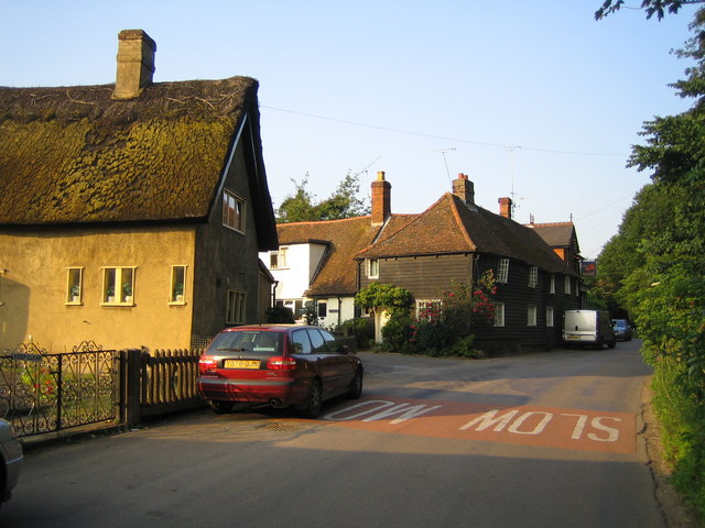
Brookfield Common Images
Images are sourced within 2km of 51.868748/-0.069585129 or Grid Reference TL3320. Thanks to Geograph Open Source API. All images are credited.


Brookfield Common is located at Grid Ref: TL3320 (Lat: 51.868748, Lng: -0.069585129)
Administrative County: Hertfordshire
District: East Hertfordshire
Police Authority: Hertfordshire
What 3 Words
///rigid.dices.spirit. Near Watton at Stone, Hertfordshire
Nearby Locations
Related Wikis
Dane End
Dane End is a hamlet to the north of Ware in Hertfordshire, England situated between the A602 and A10. It is within Little Munden civil parish and East...

Whempstead
Whempstead is a hamlet in the parish of Watton-at-Stone, situated north of Hertford and to the south-east of Stevenage in Hertfordshire, it is close to...

Sacombe
Sacombe is a village and civil parish in the East Hertfordshire district, of Hertfordshire, England. At the 2001 census it had a population of 165. Sacombe...

Little Munden Primary School
Little Munden Primary School is a Church of England voluntary controlled primary school in the village of Dane End, near Ware in Hertfordshire. It is a...

Little Munden
Little Munden or Munden-Frewell or Munden Parva is a civil parish in the East Hertfordshire district, in the county of Hertfordshire, England. In 2011...

Sacombe Green
Sacombe Green is a hamlet located to the east of the village of Sacombe, in the East Hertfordshire district, in the county of Hertfordshire, England....

Heath Mount School
Heath Mount School is a Church of England co-educational independent prep school near Watton-at-Stone, Hertfordshire, England. It admits pupils aged 3...
Woodhall Park
Woodhall Park is a Grade I listed country house near Watton-at-Stone, Hertfordshire, England. The 18th century neo-classical building is set in a walled...
Nearby Amenities
Located within 500m of 51.868748,-0.069585129Have you been to Brookfield Common?
Leave your review of Brookfield Common below (or comments, questions and feedback).