Belair Park
Downs, Moorland in Surrey
England
Belair Park
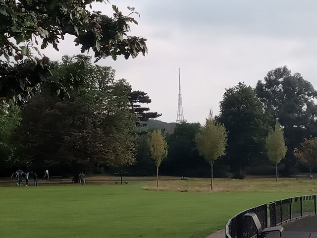
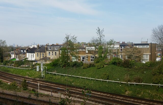
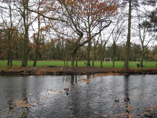
Belair Park is a beautiful green space located in Surrey, England. The park covers an area of 60 acres and is situated on the North Downs, offering visitors stunning views of the surrounding countryside. The landscape of Belair Park is diverse, with open fields, woodlands, and heathland all present within the park.
Belair Park is a popular destination for nature lovers and outdoor enthusiasts, with a variety of walking and cycling trails weaving through the park. The park is also home to a diverse range of flora and fauna, making it a haven for wildlife enthusiasts.
In addition to its natural beauty, Belair Park also offers a range of recreational facilities for visitors to enjoy. These include a children's playground, tennis courts, and a cafe serving refreshments.
Overall, Belair Park is a tranquil and picturesque spot that offers visitors the opportunity to relax and unwind in the heart of the Surrey countryside. Whether you're looking to enjoy a leisurely stroll, have a picnic with family and friends, or simply take in the breathtaking views, Belair Park has something for everyone.
If you have any feedback on the listing, please let us know in the comments section below.
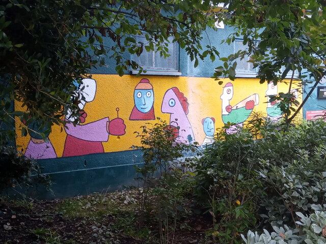
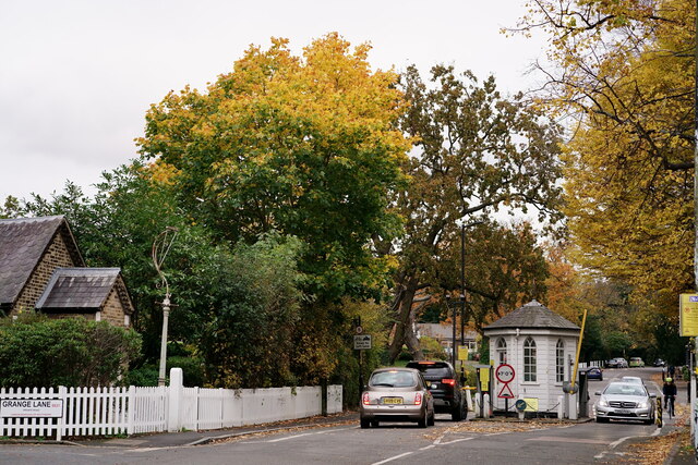
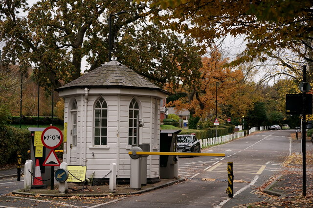
Belair Park Images
Images are sourced within 2km of 51.443194/-0.090001884 or Grid Reference TQ3273. Thanks to Geograph Open Source API. All images are credited.


Belair Park is located at Grid Ref: TQ3273 (Lat: 51.443194, Lng: -0.090001884)
Unitary Authority: Southwark
Police Authority: Metropolitan
What 3 Words
///films.span.reduce. Near Brixton Hill, London
Nearby Locations
Related Wikis
Belair Park
Belair Park is a park located in the West Dulwich part of the London Borough of Southwark, southeast London, England. The park grounds once belonged to...
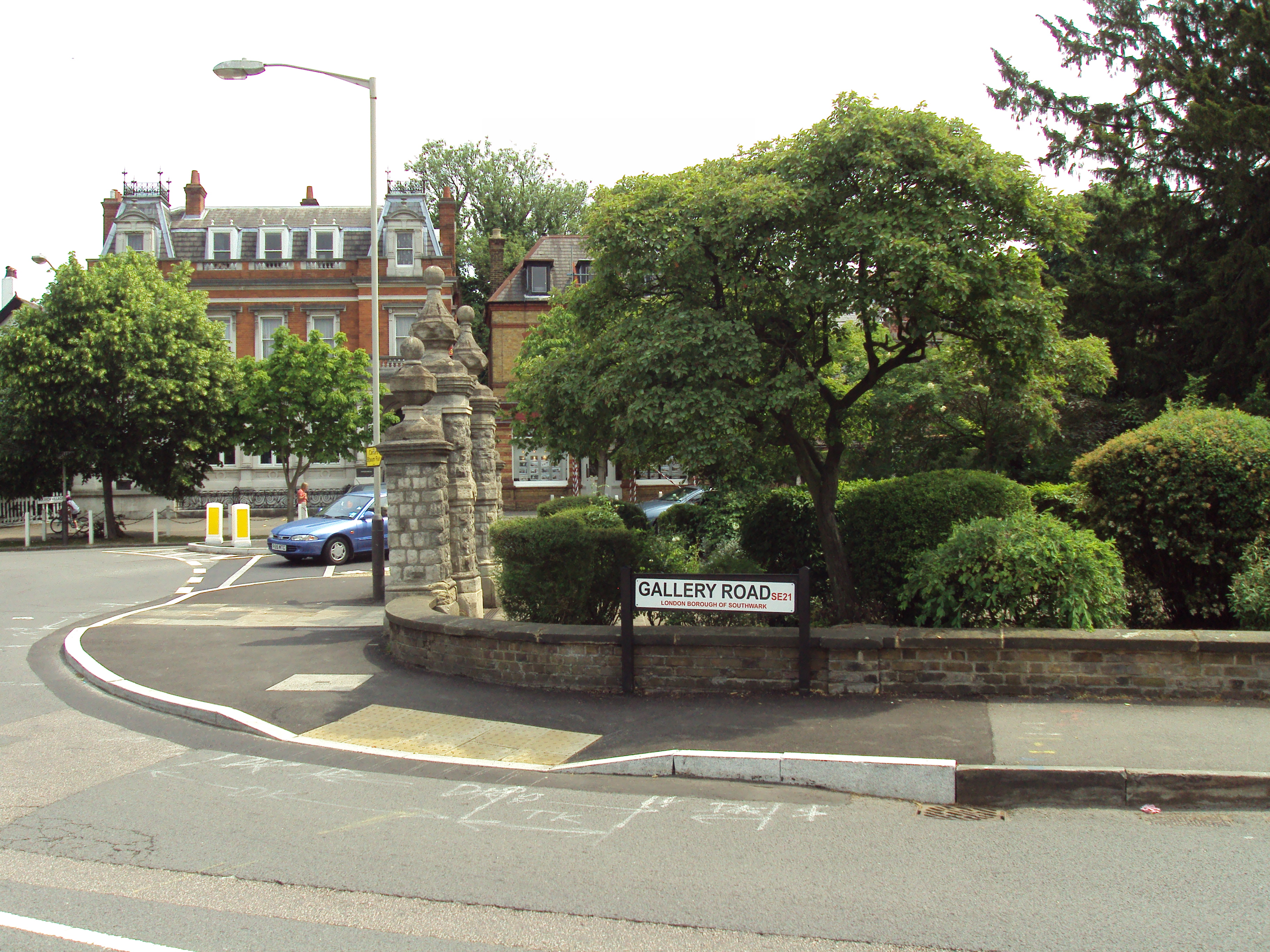
Gallery Road
Gallery Road is in West Dulwich, Southwark, southeast London, England. == Location == At the southern end is a junction with the Dulwich Common A205 road...

Old College Lawn Tennis and Croquet Club
The Old College Lawn Tennis and Croquet Club is in West Dulwich, Southwark, southeast London, England, to the east off Gallery Road. The "Old College"...

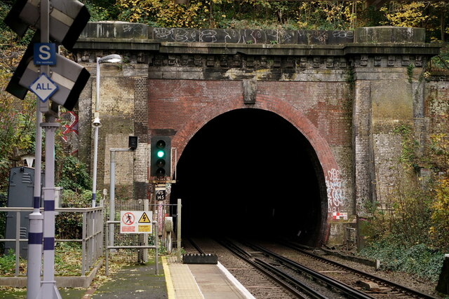
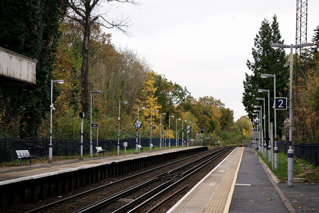
West Dulwich railway station
West Dulwich railway station is on the Chatham Main Line in England, serving the West Dulwich area in the London Borough of Southwark, south London. It...
Related Videos

Nunhead, Honor Oak, and Peckham Rye | Easy Walk | Drone 4k View | 🇬🇧 Hiking in uk for beginners
Nunhead's Victorian Cemetery, assorted green spaces, One Tree Hill with its viewpoint, Peckham Rye Park and Common, and its ...
![London walk in Brixton April 2021| Multicultural Walking tour| Afro-Caribbean Shops etc [4K HDR]](https://i.ytimg.com/vi/5w2vwayA-q0/hqdefault.jpg)
London walk in Brixton April 2021| Multicultural Walking tour| Afro-Caribbean Shops etc [4K HDR]
This London Walk was filmed at the end of April 2021 after reopening and easing of the Lockdown. I took a walking tour around ...

Walking Tour of London's Brixton: Art, Food, and Culture
In this video, Jessica, a guide with Free Tours by Foot London, takes you on a London walking tour through the bustling ...

Nearby Amenities
Located within 500m of 51.443194,-0.090001884Have you been to Belair Park?
Leave your review of Belair Park below (or comments, questions and feedback).